National parks · North Wales
Eryri (Snowdonia)
Also known as: Eryri, Park Kenedhlek Eryri
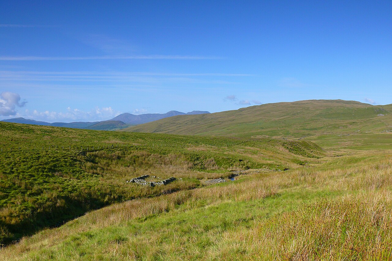
Eryri (Snowdonia) is a Mountainous region and national park in North Wales.

Photo by Mazaruni (Wikimedia Commons, CC BY-SA 4.0) licence
Plan your visit
- Typical visit
- 4 h–8 h
- Best time of year
- Spring – autumn (Apr–Oct)
- Free entry
- Family-friendly
- Dog-friendly
Getting there & planning your visit
Eryri (Snowdonia) is located in North Wales, with the postcode LL41 4TR. Entry to the national park is free. There is no nearest railway station mentioned, so please plan your visit accordingly.
About
Eryri (Snowdonia) is a national park in the United Kingdom. It covers approximately 20415 km². According to Wikipedia: "Snowdonia, or Eryri, is a mountainous region and national park in North Wales.". It is one of fifteen designated national parks across England, Scotland, and Wales, protected for its landscape and recreation value.
Photo gallery
Summary from the official site
Eryri, also known as Snowdonia, is Wales' largest National Park, covering 823 square miles and home to a diverse landscape rich in culture, history, and heritage. It attracts nearly 4 million visitors annually who come to explore its mountain ranges, valleys, and extensive recreational opportunities.
Read more on the official property page.
From the Wikipedia article
Snowdonia, or Eryri (Welsh: [ɛrəˈri] ), is a mountainous region and national park in North Wales. It contains all 15 mountains in Wales over 3000 feet high, including the country's highest, Snowdon (Yr Wyddfa), which is 1,085 metres (3,560 ft) tall. These peaks are all part of the Snowdon, Glyderau, and Carneddau ranges in the north of the region. The lower Moelwynion and Moel Hebog ranges lie immediately to the south. The national park has an area of 823 square miles (2,130 km2) (the fourth-largest in the UK), and covers most of central and southern Gwynedd and the western part of Conwy County Borough. This is much larger than the area traditionally considered Snowdonia (Eryri), and in addition to the five ranges above includes the Rhinogydd, Cadair Idris, and Aran ranges and the Dyfi Hills. It also includes most of the coast between Porthmadog and Aberdyfi. The park was the first of the three national parks of Wales to be designated, in October 1951, and the third in the UK after the Peak District and Lake District, which were established in April and May 1951 respectively. The park received 3.89 million visitors in 2015.
Excerpt from Wikipedia under CC BY-SA 4.0. See the source article linked in Sources below.
Background
History
The earliest evidence for human occupation of the area dates from around 4000–3000 BC with extensive traces of prehistoric field systems evident in the landscape. Within these are traces of irregular enclosures and hut circles. There are burial chambers of Neolithic and Bronze Age such as Bryn Cader Faner and Iron Age hillforts such as Bryn y Castell near Ffestiniog. The region was finally conquered by the Romans by AD 77–78. Remains of Roman marching camps and practice camps are evident. There was a Roman fort and amphitheatre at Tomen y Mur. Roads are known to have connected with (Caernarfon) and (Chester) and include the northern reaches of Sarn Helen. There are numerous memorial stones…
Visiting
Research indicates that there were 3.67 million visitors to Snowdonia National Park in 2013, with approximately 9.74 million tourist days spent in the park during that year. Total tourist expenditure was £433.6 million in 2013.
Sourced from Wikipedia under CC BY-SA 4.0.
- Coordinates
- 52.9000, -3.8500
- District
- Gwynedd
- Parish
- Trawsfynydd
- Postcode
- LL41 4TR
- Parliamentary constituency
- Dwyfor Meirionnydd
- Established
- 1951
- Official site
- eryri.gov.wales
Sources
- wikidata: Q867913 (CC0)
- wikipedia: Snowdonia (CC BY-SA 4.0)
- commons: Gaeaf yr Wyddfa.jpg (CC BY-SA 4.0)
Featured in these 3 guides
Itinerary
All fifteen UK national parks, ranked
From the wild Cairngorms to the Norfolk Broads — every UK national park, opinionated.
Itinerary
Eryri (Snowdonia): three days of Welsh mountains
The highest peaks in Wales, the deepest slate quarries, and a steam railway up Yr Wyddfa.
Itinerary
Top 10 UK national parks ranked
All 15 UK national parks, ranked by what to expect.
Other places nearby

Cwm Prysor
Gorges · 0.0 km

Y Foel
Mountains & hills · 0.5 km
Moel yr Wden
Mountains & hills · 1.5 km

Castle Prysor
Castles · 1.7 km
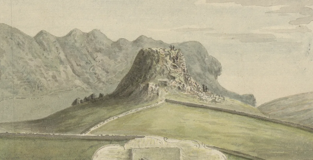
Castell Prysor
Castles · 1.7 km

Moel Uchaf Dol-haidd
Mountains & hills · 1.7 km
Moel Oernant
Mountains & hills · 1.8 km

Moel yr Wden
Mountains & hills · 2.0 km

Roman Practice Camp
Archaeological sites · 2.2 km

Gallt-Y-Daren
Mountains & hills · 2.3 km
Gallt y Daren
Natural landmarks · 2.3 km

Y Garn South Top
Mountains & hills · 2.3 km
Nearby
📷 5📷 5📷 5Mountains & hills · North Wales
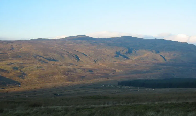
Moel yr Wden
Moel yr Wden — mountain in wales north. Elevation: 520 m.
📷 3📷 3📷 5Mountains & hills · North Wales
Moel Uchaf Dol-haidd
Moel Uchaf Dol-haidd — mountain in wales north. Elevation: 462 m.
Where to eat & stay near Eryri (Snowdonia)
Places to stay
 📷 5
📷 5Hostels · North Wales
Rhiw Goch Bunkhouse
Rhiw Goch Bunkhouse — a hostel in wales north.
 📷 5
📷 5Caravan parks · North Wales
Trawsfynydd Holiday Village
Trawsfynydd Holiday Village — a caravan park in wales north.
 📷 5
📷 5 📷 5
📷 5Campsites · North Wales
Cae Gwyn Farm Holidays
Cae Gwyn Farm Holidays — a campsite in wales north.
 📷 5
📷 5Hostels · North Wales
Treks Bunkhouse
Treks Bunkhouse — a hostel in wales north.
 📷 5
📷 5Caravan parks · North Wales
Coed-y-Llwyn Caravan and Motorhome Club Site
Coed-y-Llwyn Caravan and Motorhome Club Site — a caravan park in wales north.
Places to eat & drink
 📷 7
📷 7 📷 7
📷 7 📷 5
📷 5 📷 7
📷 7 📷 7
📷 7 📷 7
📷 7Restaurants · North Wales
Palé Hall Hotel Restaurant
Palé Hall Hotel Restaurant — a restaurant in wales north. Cuisine: welsh;british;fine dining. 5-star.
More national parks in this region
 ★ Iconic📷 5
National parks · North Wales
Snowdonia National Park
Wales' largest national park — Snowdon, slate heritage, Welsh-language heartland.
 📷 4
📷 4National parks · North Wales
Llandudno Cable Car
The Llandudno Cable Car is an attraction in the seaside resort of Llandudno in Conwy County Borough, Wales. The cable car runs along the Great Orme spanning a distance of one mile forty feet (1.622 km
Frequently asked questions
- Where is Eryri (Snowdonia)?
- Eryri (Snowdonia) is in North Wales, United Kingdom (postcode LL41 4TR), in the parish of Trawsfynydd.
- What is Eryri (Snowdonia)?
- Eryri (Snowdonia) is a Mountainous region and national park in North Wales.
- How do I get to Eryri (Snowdonia)?
- Drivers can use postcode LL41 4TR.
- When was Eryri (Snowdonia) built?
- Built or established in 1951.
- Is Eryri (Snowdonia) free to visit?
- Yes, Eryri (Snowdonia) is free to enter.
- How do I get to Eryri (Snowdonia)?
- Drivers can navigate to postcode LL41 4TR. It sits within the Dwyfor Meirionnydd parliamentary constituency.