
Hill forts · Central Scotland
Elginhaugh
In or near Danderhall.
Elginhaugh — archaeological site in Midlothian, Scotland, UK.

Wikimedia Commons contributors — see linked file page for photographer and licence licence

Plan your visit
- Typical visit
- 1 h–2 h
- Nearest railway station
- Eskbank · 1.5 km
- Free entry
- Dog-friendly
Getting there & planning your visit
To visit Elginhaugh, the nearest railway station is Eskbank, located 1.5 km away. The postcode for sat-nav is EH22 3NL, and entry to the site is free.
About
Elginhaugh is a hill fort in the United Kingdom. Wikidata describes it as: "archaeological site in Midlothian, Scotland, UK". Coordinates: 55.8944°, -3.0858°.
Photo gallery
From the Wikipedia article
Elginhaugh Roman Fort was a Roman fort of the 1st century AD, located in Midlothian, Scotland. Elginhaugh is the most completely excavated timber-built auxiliary fort in the Roman Empire. The site of the Flavian (1st century) fort lies 1 km to the west of the modern town of Dalkeith, south-east of Edinburgh. The fort, discovered in 1979 by aerial reconnaissance, takes its name from the nearby hamlet of Elginhaugh. It was fully excavated, along with much of its large annexe, during 1986-87 by Dr William Hanson. The excavation confirmed the broad consistency of auxiliary fort plans (in terms of general layout and the identification of specific building types), but highlighted their individual uniqueness in relation to plan detail. Of particular importance, in relation to the traditional interpretation of fort plans, is the recognition that it was the norm to house horses and men together in stable-barracks, whose number and disposition indicate that the fort cannot have housed any single standard unit, and was probably occupied by a vexillation of cavalry. Extensive examination of the annexe highlights the ancillary, probably military, character of the activities taking place there and emphasises, in contrast with the fort, substantive changes in use over a relatively short time-span.
Excerpt from Wikipedia under CC BY-SA 4.0. See the source article linked in Sources below.
Background
History
The primary role of the fort was probably to guard the nearby ford where Dere Street, a vitally important north-south Roman route, crossed the river North Esk, a tributary of the River Esk, Lothian. Thus it served as a garrison post (castellum) as part of the more permanent consolidation of Roman control in Scotland during and immediately after the campaigns of Gnaeus Julius Agricola. The fort’s occupation is closely dated to c. AD 79-87 by associated coin evidence, including a foundation hoard from the principia (headquarters building). There is also unique evidence that the site continued to function as a collection centre for animals after the garrison had departed: the interior of the…
Description
The Elginhaugh coin hoard is a group of 45 denarii which provides the terminus post quem dating of AD 77-78 for the construction of the fort and was argued by the excavators to represent a foundation deposit for the Principia. The validity of this dating has recently been called into question by David Woolliscroft, who argues that the coin hoard is unsuitable for this purpose as only 21 of the 45 coins in the hoard were actually found in a single, stacked deposit - of these, the latest was dated to AD 71. The dating of AD 77-78 comes from a single coin closely associated with the hoard, but not securely from within it.
Sourced from Wikipedia under CC BY-SA 4.0.
- Coordinates
- 55.8944, -3.0858
- District
- Midlothian
- Postcode
- EH22 3NL
- Parliamentary constituency
- Midlothian
- Nearest railway station
- Eskbank — 1.5 km
- Official site
- canmore.org.uk
Sources
- wikidata: Q5360076 (CC0)
- wikipedia: Elginhaugh (CC BY-SA 4.0)
- commons: Elginhaugh - geograph.org.uk - 28760.jpg (CC BY-SA 4.0)
Other places nearby

Elginhaugh Roman fort
Archaeological sites · 0.0 km
Elginhaugh Bridge
Historic bridges · 0.2 km

Elginhaugh Bridge
Vineyards · 0.3 km

Water Tower, Cemetery Road, Dalkeith
Memorials & monuments · 0.6 km

Eskbank South Bridge, Edinburgh and Dalkeith Railway
Historic bridges · 0.6 km

Three Craws
Public art & sculpture · 0.7 km
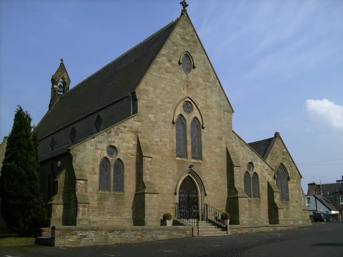
St David's Church
Historic churches · 0.8 km

Buccleuch Church, Old Edinburgh Road, Dalkeith
Historic churches · 0.8 km
Dalkeith And Cowdenfoot Collieries Miners Memorial
Memorials & monuments · 0.8 km
War Memorial, King's Park, Dalkeith
Memorials & monuments · 0.8 km

Lugton Bridge
Historic bridges · 0.8 km
27 Park Road, Dalkeith
Abbeys & priories · 0.8 km
Nearby
📷 3Archaeological sites · Central Scotland
Elginhaugh Roman fort
Elginhaugh Roman fort — a archaeological in scotland-central, United Kingdom.
📷 5Historic bridges · Central Scotland
Elginhaugh Bridge
Elginhaugh Bridge — category B listed building-listed bridge in scotland-central, United Kingdom.
📷 5Vineyards · Central Scotland
Elginhaugh Bridge
Elginhaugh Bridge — a UK vineyard in scotland central, producing English or Welsh wine from cool-climate grape varieties.
📷 5Memorials & monuments · Central Scotland
Water Tower, Cemetery Road, Dalkeith
Water Tower, Cemetery Road, Dalkeith — a water tower in scotland-central, United Kingdom.
📷 5Historic bridges · Central Scotland
Eskbank South Bridge, Edinburgh and Dalkeith Railway
Eskbank South Bridge, Edinburgh and Dalkeith Railway — category B listed building-listed bridge in scotland-central, United Kingdom.
📷 3Public art & sculpture · Central Scotland
Three Craws
Three Craws — a public art in scotland-central, United Kingdom.
Where to eat & stay near Elginhaugh
Places to stay
 📷 5
📷 5 📷 5
📷 5Campsites · Central Scotland
Dalkeith Country Park Camping
Dalkeith Country Park Camping — a campsite in scotland central.
 📷 5
📷 5Caravan parks · Central Scotland
Kevock Vale Park Retirement Living
Kevock Vale Park Retirement Living — a caravan park in scotland central.
 📷 5
📷 5Campsites · Central Scotland
Lothian Bridge Caravan Park
Lothian Bridge Caravan Park — a campsite in scotland central.
 📷 5
📷 5Campsites · Central Scotland
Mortonhall Caravan and Camping Park
Mortonhall Caravan and Camping Park — a campsite in scotland central.
 📷 5
📷 5Caravan parks · Central Scotland
Slatebarns Caravan Park
Slatebarns Caravan Park — a caravan park in scotland central.
Places to eat & drink
 📷 5
📷 5Historic pubs · Central Scotland
Gothenburg Public House, 45 Buccleuch Street, Dalkeith
Gothenburg Public House, 45 Buccleuch Street, Dalkeith in Scotland Central, United Kingdom.
 📷 7
📷 7Historic pubs · Central Scotland
Coach and Horses Public House, 168 High Street, Dalkeith
Coach and Horses Public House, 168 High Street, Dalkeith in Scotland Central, United Kingdom.
 📷 5
📷 5Historic pubs · Central Scotland
The Royal Esk, 128, 130 High Street, Musselburgh
The Royal Esk, 128, 130 High Street, Musselburgh in Scotland Central, United Kingdom.
 📷 7
📷 7Historic pubs · Central Scotland
Sheep Heid Inn
Sheep Heid Inn in Scotland Central, United Kingdom.
 📷 7
📷 7Historic pubs · Central Scotland
Leslie's Bar, 45, 47, 49 Ratcliffe Terrace, Edinburgh
Leslie's Bar, 45, 47, 49 Ratcliffe Terrace, Edinburgh in Scotland Central, United Kingdom.
 📷 5
📷 5Historic pubs · Central Scotland
Physician and Firkin Public House, 58 Dalkeith Road, Edinburgh
Physician and Firkin Public House, 58 Dalkeith Road, Edinburgh in Scotland Central, United Kingdom.
More places in this region
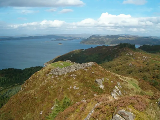 📷 3
📷 3Hill forts · Central Scotland
Castle Dounie, dun, Knapdale
Castle Dounie, dun, Knapdale — archaeological site in Argyll and Bute, Scotland, UK.
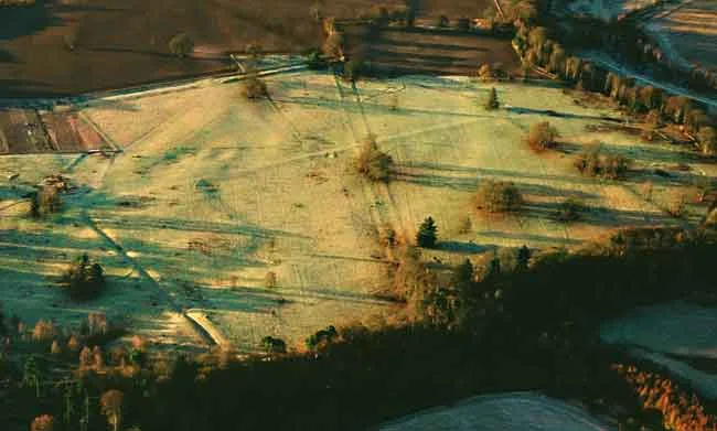 📷 5
📷 5Hill forts · Central Scotland
Castra Pinnata
Castra Pinnata is a hill fort in the United Kingdom.
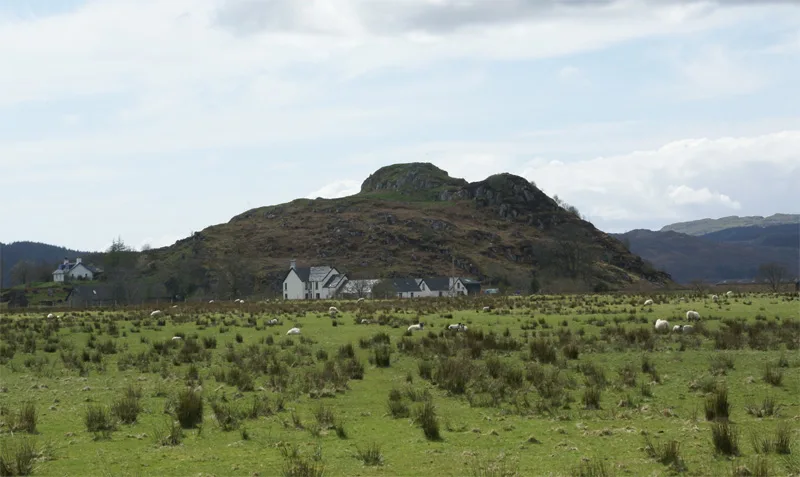 📷 5
📷 5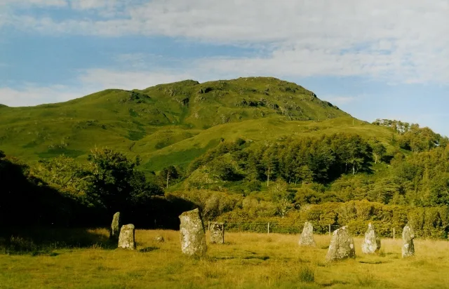 📷 3
📷 3Hill forts · Central Scotland
Lochbuie House, stone circle and standing stones, Mull
Lochbuie House, stone circle and standing stones, Mull — archaeological site in Argyll and Bute, Scotland, UK.
Frequently asked questions
- Where is Elginhaugh?
- Elginhaugh is in central Scotland, United Kingdom (postcode EH22 3NL).
- What is Elginhaugh?
- Elginhaugh — archaeological site in Midlothian, Scotland, UK.
- How do I get to Elginhaugh?
- The nearest railway station is Eskbank, about 1.5 km away. Drivers can use postcode EH22 3NL.
- Is Elginhaugh free to visit?
- Yes, Elginhaugh is free to enter.
- How do I get to Elginhaugh?
- The nearest railway station is Eskbank, about 1.5 km away. Drivers can navigate to postcode EH22 3NL.