
Hill forts · Central Scotland
Dunadd
Also known as: Dùn Ad
In or near Kilmartin.
Dunadd — hill fort in Argyll and Bute, Scotland, UK.

Wikimedia Commons contributors — see linked file page for photographer and licence licence

Plan your visit
- Typical visit
- 1 h–2 h
- Free entry
- Family-friendly
- Dog-friendly
About
Dunadd is a hill fort in the United Kingdom. Heritage designation: scheduled monument. Wikidata describes it as: "hill fort in Argyll and Bute, Scotland, UK". Coordinates: 56.0857°, -5.4789°.
Photo gallery
From the Wikipedia article
Dunadd (Scottish Gaelic Dún Ad, "fort on the [River] Add", Old Irish Dún Att) is a hillfort in Argyll and Bute, Scotland, dating from the Iron Age and early medieval period and is believed to be the capital of the ancient kingdom of Dál Riata. Dal Riata was a Gaelic kingdom spanning the northern Irish coast to Argyll and the Scottish islands in the early centuries AD, possibly after the Romans had abandoned Southern Britain and at the time when the Anglo-Saxons were crossing the North Sea to counter incursions over Hadrian's Wall by the Picts and Dalriadan Scots.
Excerpt from Wikipedia under CC BY-SA 4.0. See the source article linked in Sources below.
Background
History
Originally occupied in the Iron Age, the site later became a seat of the kings of Dál Riata. It is known for its unique stone carvings below the upper enclosure, including a footprint and basin thought to have formed part of Dál Riata's coronation ritual. On the same flat outcrop of rock is an incised boar in Pictish style, and an inscription in the ogham script. The inscription is read as referring to a Finn Manach and is dated to the late 8th century or after. The site was occupied after 736, at least into the 9th century. It is mentioned twice in later sources, suggesting that it retained some importance. In 1436, it is recorded that "Alan son of John Riabhach MacLachlan of Dunadd" was…
Description
Dunadd is a rocky crag that may have been one time an island and now lies inland near the River Add, from which it takes its name, a little north of Lochgilphead (NR 836 936). The surrounding land, now largely reclaimed, was formerly boggy and known as the Mòine Mhòr ("Great Moor") in Gaelic. This no doubt increased the defensive potential of the site. Detailed analysis of sea-level changes in the region argue that the Dun was an island or promontory into historic times, and that receding sea levels left the fortification open to siege and seizure in the 6th to 7th centuries.
Sourced from Wikipedia under CC BY-SA 4.0.
- Coordinates
- 56.0857, -5.4789
- District
- Argyll and Bute
- Postcode
- PA31 8SU
- Parliamentary constituency
- Argyll, Bute and South Lochaber
- Established
- 600
Sources
- wikidata: Q233579 (CC0)
- wikipedia: Dunadd (CC BY-SA 4.0)
- commons: Dunadd Fort 20080427.jpg (CC BY-SA 4.0)
Other places nearby

Dunadd
Mountains & hills · 0.0 km

Dunadd Fort
Forts · 0.0 km

Dál Riata
Other places · 0.1 km

Dunadd, standing stone 190m ESE of Dunadd Cottage
Windmills · 0.3 km

Baile Mor, dun site
Archaeological sites · 0.9 km

Bàrr an Fhithich
Mountains & hills · 0.9 km

Dunamuck,one fallen & two standing stones
Windmills · 1.2 km

Moine Mhòr
Wildlife reserves · 1.4 km

Dunamuck, two standing stones
Windmills · 1.6 km
cairn and two standing stones 460m ENE of Dunamuck
Windmills · 1.7 km

Fiadhach Barr
Mountains & hills · 1.8 km

Cnoc na Mòine
Mountains & hills · 1.8 km
Nearby
📷 5Mountains & hills · Central Scotland
Dunadd
Dunadd — mountain in scotland highlands. Elevation: 55 m.
📷 3📷 4📷 5Windmills · Central Scotland
Dunadd, standing stone 190m ESE of Dunadd Cottage
Dunadd, standing stone 190m ESE of Dunadd Cottage — a post mill in scotland-highlands, United Kingdom.
📷 3Archaeological sites · Central Scotland
Baile Mor, dun site
Baile Mor, dun site — a archaeological in scotland-highlands, United Kingdom.
📷 5Mountains & hills · Central Scotland
Bàrr an Fhithich
Bàrr an Fhithich — mountain in scotland highlands. Elevation: 57 m.
Where to eat & stay near Dunadd
Places to stay
 📷 5
📷 5 📷 5
📷 5Campsites · Central Scotland
Lochgilphead Caravan Park
Lochgilphead Caravan Park — a campsite in scotland highlands.
 📷 5
📷 5Caravan parks · Central Scotland
Ardfern Motorhome Park
Ardfern Motorhome Park — a caravan park in scotland highlands.
 📷 5
📷 5Campsites · Central Scotland
Leachive Caravan Park
Leachive Caravan Park — a campsite in scotland highlands.
 📷 5
📷 5Hotels · Central Scotland
Loch Melfort Hotel
Loch Melfort Hotel — a hotel in scotland highlands.
 📷 5
📷 5Campsites · Central Scotland
Glendaruel Caravan & Camping Park
Glendaruel Caravan & Camping Park — a campsite in scotland highlands.
Places to eat & drink
 📷 7
📷 7Historic pubs · Central Scotland
Cairnbaan Hotel, Crinan Canal
Cairnbaan Hotel, Crinan Canal in Scotland Central, United Kingdom.
More places in this region
 📷 3
📷 3Hill forts · Central Scotland
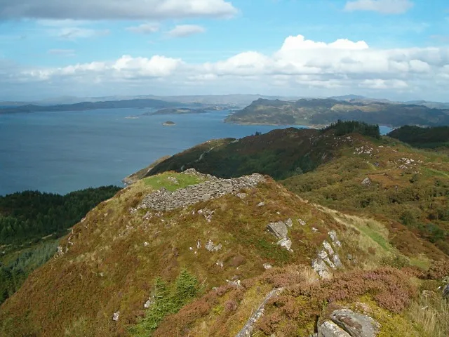
Castle Dounie, dun, Knapdale
Castle Dounie, dun, Knapdale — archaeological site in Argyll and Bute, Scotland, UK.
 📷 5
📷 5Hill forts · Central Scotland
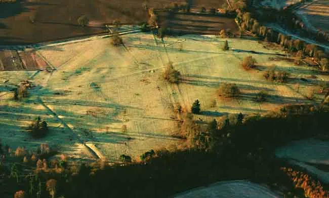
Castra Pinnata
Castra Pinnata is a hill fort in the United Kingdom.
 📷 3
📷 3Hill forts · Central Scotland
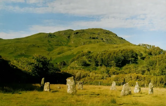
Lochbuie House, stone circle and standing stones, Mull
Lochbuie House, stone circle and standing stones, Mull — archaeological site in Argyll and Bute, Scotland, UK.
 📷 3
📷 3Hill forts · Central Scotland
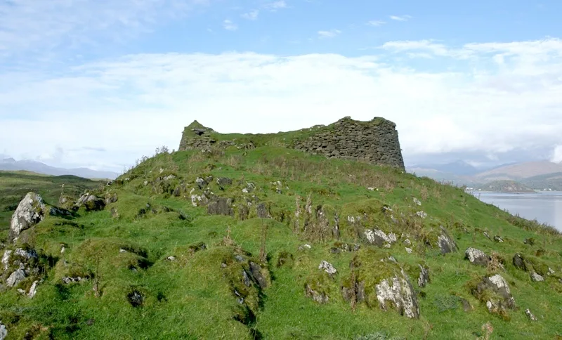
Tirefour Castle
Tirefour Castle — Iron Age broch 4 km north of Achnacroish, Argyll and Bute, Scotland, UK.
Frequently asked questions
- Where is Dunadd?
- Dunadd is in central Scotland, United Kingdom (postcode PA31 8SU).
- What is Dunadd?
- Dunadd — hill fort in Argyll and Bute, Scotland, UK.
- How do I get to Dunadd?
- The nearest town is Kilmartin. Drivers can use postcode PA31 8SU.
- When was Dunadd built?
- Built or established in 600.
- Is Dunadd a listed building?
- Dunadd is officially recognised as scheduled monument listed.
- Is Dunadd free to visit?
- Yes, Dunadd is free to enter.
- How do I get to Dunadd?
- Drivers can navigate to postcode PA31 8SU. It sits within the Argyll, Bute and South Lochaber parliamentary constituency.