Wildlife reserves · London
Edgware Way Grassland
Edgware Way Grassland is a wildlife reserve in the United Kingdom.

Wikimedia Commons contributors — see linked file page for photographer and licence licence
Plan your visit
- Typical visit
- 2 h–4 h
- Best time of year
- Autumn & winter (migration & wildfowl)
- Nearest railway station
- Stanmore · 1.2 km
- Free entry
- Dog-friendly
About
Edgware Way Grassland is a wildlife reserve in the United Kingdom. Coordinates: 51.6248°, -0.2881°. This entry is part of The Great Britain Guide, a free, ad-free, open-data tourist directory.
Photo gallery
From the Wikipedia article
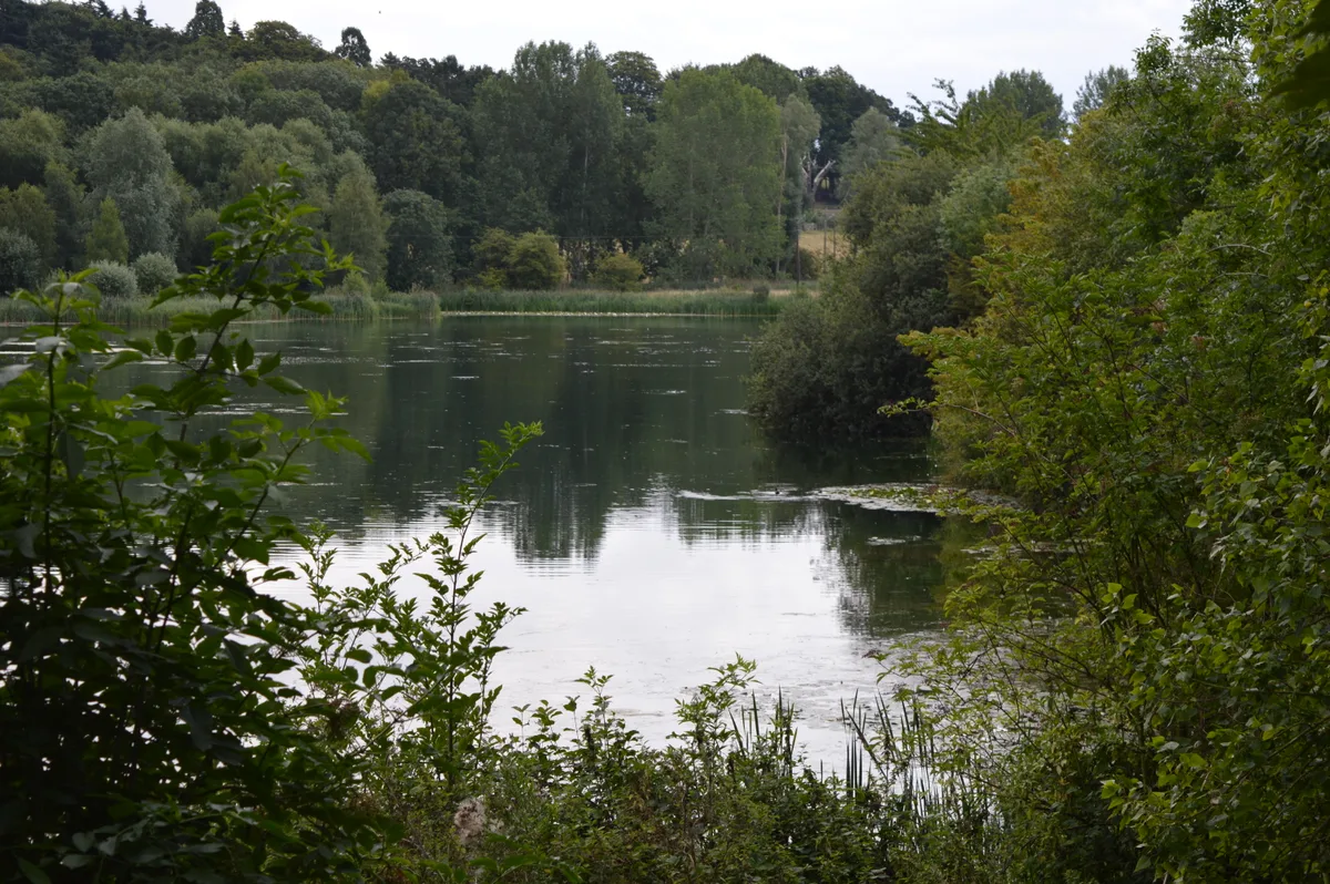
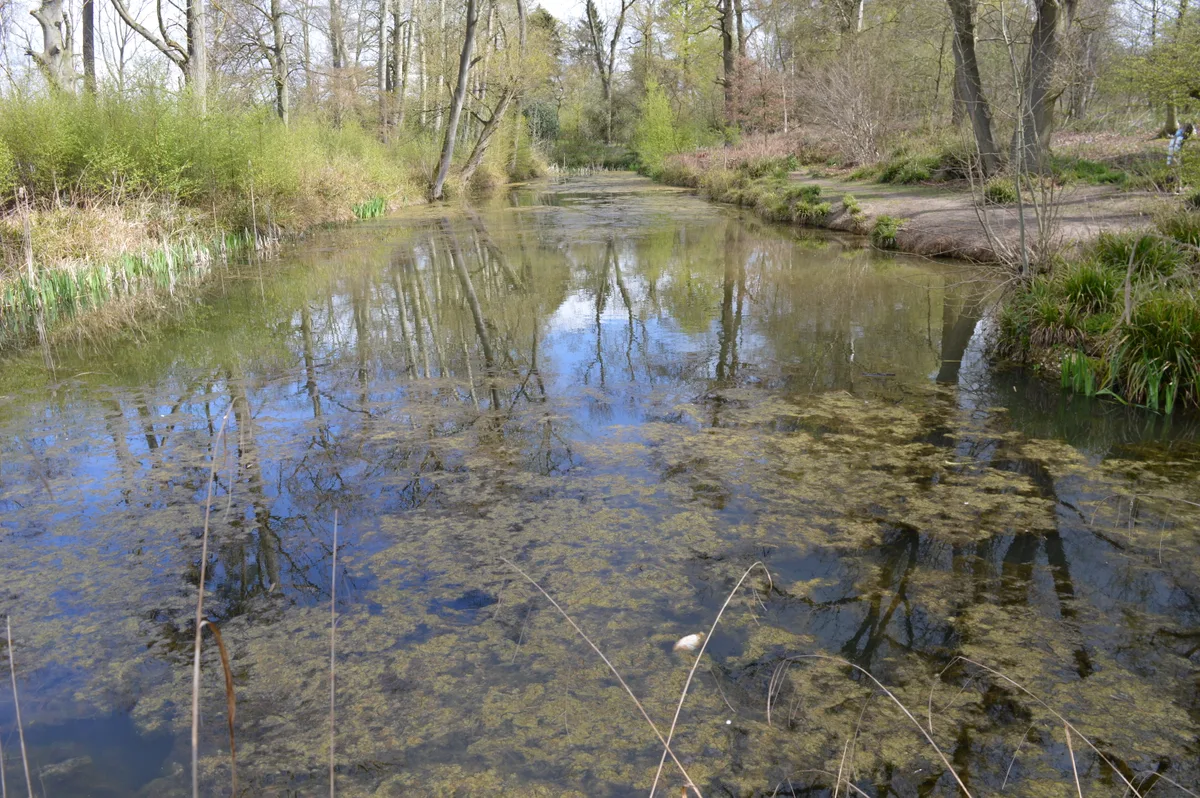
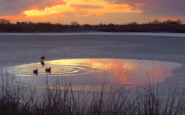
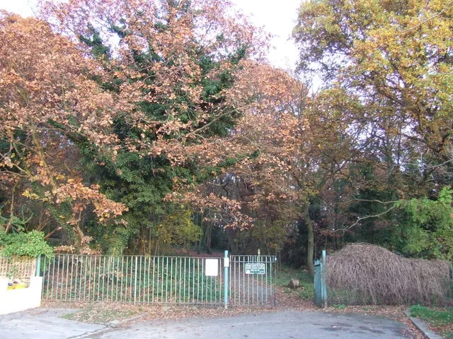
Edgware Way Grassland or Edgware Way Rough is a 6.7-hectare (17-acre) Site of Metropolitan Importance for Nature Conservation in Edgware in the London Borough of Barnet. It is traversed by Edgwarebury Brook and contains traces of a planned railway viaduct and embankment. This was part of a planned extension of the Northern line from Edgware to Bushey, which was cancelled when the introduction of the Green Belt after the Second World War led to the cancellation of the developments which the railway was to serve. Part of the site is the Environment Agency's Edgwarebury Park Flood Storage Area. The reserve is typical unimproved London Clay grassland. Damp, herb rich areas have uncommon plants characteristic of old meadows such as great burnet, sneezewort and devil's bit scabious. The brook is lined by sedges and water-cress, while breeding birds include yellowhammer and spotted flycatcher. The reserve adjoins Edgwarebury Park. It is private land, but is crossed by a public footpath from Edgware Way which starts just west of the junction with Spur Road.
Excerpt from Wikipedia under CC BY-SA 4.0. See the source article linked in Sources below.
- Coordinates
- 51.6248, -0.2881
- District
- Barnet
- Parish
- Barnet, unparished area
- Postcode
- HA8 8YT
- Parliamentary constituency
- Hendon
- Nearest railway station
- Stanmore — 1.2 km
Sources
- wikidata: Q5337960 (CC0)
- wikipedia: Edgware Way Grassland (CC BY-SA 4.0)
- commons: Edgware Way Grassland.JPG (CC BY-SA 4.0)
Other places nearby
Loading nearby places…
Nearby
 📷 5
📷 5Historic churches · London
Edgware & District Reform Synagogue
Edgware & District Reform Synagogue — a synagogue in england-london, United Kingdom.
📷 5Historic churches · London
Edgware and District Reform Synagogue
Edgware and District Reform Synagogue — a church in england-london, United Kingdom.
 📷 5
📷 5Historic churches · London
Kol Yaacov Shul
Kol Yaacov Shul — a church in england-london, United Kingdom.
 📷 5
📷 5Historic churches · London
Stanmore and Canons Park Synagogue
Stanmore and Canons Park Synagogue — a synagogue in england-london, United Kingdom.
📷 5Historic churches · London
Kollel Beis Aharon Ohel Avraham
Kollel Beis Aharon Ohel Avraham — a church in england-london, United Kingdom.
📷 5Historic churches · London
Tiferes Yisrael
Tiferes Yisrael — a church in england-london, United Kingdom.
More places in this region
 Flagship📷 10
Wildlife reserves · London
Amwell Quarry
Amwell Quarry — nature reserve in United Kingdom.
 Flagship📷 10
Wildlife reserves · London
Aubrey Buxton Nature Reserve
Aubrey Buxton Nature Reserve — Essex Wildlife Trust Nature reserve.
 Flagship📷 10
Wildlife reserves · London
Bedfords Park
Bedfords Park — Havering London Borough green landscape, also an Essex Wildlife Trust Nature reserve.
 Flagship📷 10
Wildlife reserves · London
Biggin Wood
Biggin Wood — preserved ancient woodland.
Frequently asked questions
- Where is Edgware Way Grassland?
- Edgware Way Grassland is in London, United Kingdom (postcode HA8 8YT), in the parish of Barnet, unparished area.
- Is Edgware Way Grassland free to visit?
- Yes, Edgware Way Grassland is free to enter.
- How do I get to Edgware Way Grassland?
- The nearest railway station is Stanmore, about 1.2 km away. Drivers can navigate to postcode HA8 8YT.
- Are dogs allowed at Edgware Way Grassland?
- Most wildlife reserves allow dogs on lead only, with restrictions during ground-nesting bird season (March-July). Check signage at the reserve.