Natural landmarks · Northern Ireland
Dungannon and South Tyrone Borough Council
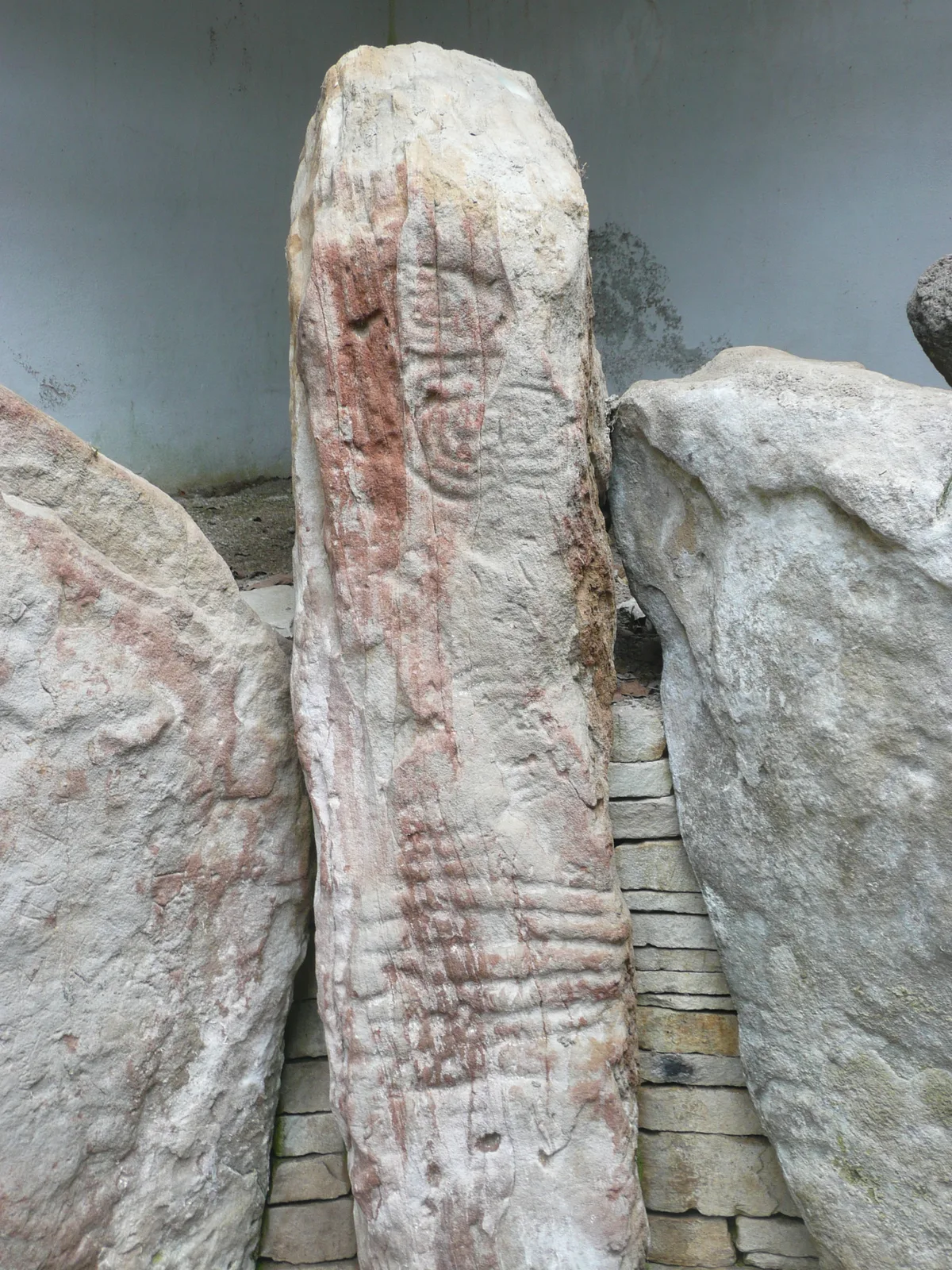
In or near Ballygawley.
Dungannon and South Tyrone Borough Council in Northern Ireland, United Kingdom.

Kenneth Allen — CC BY-SA 2.0 via Wikimedia Commons licence
Plan your visit
- Typical visit
- 1 h–2 h
- Free entry
- Dog-friendly
About
Dungannon and South Tyrone Borough Council is a place of interest in Northern Ireland, United Kingdom — drawn from open-data sources for visitor reference. See the linked Wikipedia article for the full description.
Photo gallery
From the Wikipedia article
Dungannon and South Tyrone Borough Council (Irish: Comhairle Buirge Dhún Geanainn agus Thír Eoghain Theas, Ulster Scots: Rathgannon an Sooth Owenslanngh Cooncil) was a local council in Northern Ireland from 1973 until 2015. It was originally named Dungannon District Council, gaining borough status and adding "South Tyrone" to its name on 25 November 1999, after petitioning the Secretary of State for the Environment. In May 2015, under local government reorganisation in Northern Ireland it merged with Cookstown District Council and Magherafelt District Council to become Mid-Ulster District Council.
Excerpt from Wikipedia under CC BY-SA 4.0. See the source article linked in Sources below.
- Coordinates
- 54.4250, -7.0960
- District
- Mid Ulster
- Postcode
- BT77 0EP
- Parliamentary constituency
- Fermanagh and South Tyrone
- Official site
- www.dungannon.gov.uk
Sources
- wikidata: Q1198466 (CC0)
- wikipedia: Dungannon and South Tyrone Borough Council (CC BY-SA 4.0)
Other places nearby

Augher St. Macartan's GAC
Natural landmarks · 2.0 km

Carleton's Cottage
Natural landmarks · 2.4 km

Favor Royal Demesne
Natural landmarks · 2.6 km

South Tyrone
Natural landmarks · 2.7 km

Favour Royal Forest Picnic Site
Forests & woodlands · 2.9 km

Favour Royal
Natural landmarks · 3.0 km

Augher
Natural landmarks · 3.6 km

Lisdoart
Archaeological sites · 4.3 km

Clogher Éire Óg GAC
Natural landmarks · 4.7 km

Knockmany
Archaeological sites · 4.8 km
Knockmany passage tomb
Hill forts · 4.8 km

Clogher Demesne
Vineyards · 4.8 km
Nearby
📷 2Natural landmarks · Northern Ireland
Augher St. Macartan's GAC
Augher St. Macartan's GAC in Northern Ireland, United Kingdom.
📷 3Natural landmarks · Northern Ireland
Carleton's Cottage
Carleton's Cottage — a other in northern-ireland, United Kingdom.
📷 4Natural landmarks · Northern Ireland
Favor Royal Demesne
Favor Royal Demesne in Northern Ireland, United Kingdom.
📷 4Natural landmarks · Northern Ireland
South Tyrone
South Tyrone in Northern Ireland, United Kingdom.
📷 2Forests & woodlands · Northern Ireland
Favour Royal Forest Picnic Site
Favour Royal Forest Picnic Site — a other in northern-ireland, United Kingdom.
📷 2Natural landmarks · Northern Ireland
Favour Royal
Favour Royal in Northern Ireland, United Kingdom.
Where to eat & stay near Dungannon and South Tyrone Borough Council
Places to stay
 📷 5
📷 5Caravan parks · Northern Ireland
Round Lake Caravan Park
Round Lake Caravan Park — a caravan park in northern ireland.
 📷 5
📷 5Caravan parks · Northern Ireland
Round Lake Caravan Park
Round Lake Caravan Park — a caravan park in northern ireland.
 📷 5
📷 5Caravan parks · Northern Ireland
Dungannon Park Caravan & Camping
Dungannon Park Caravan & Camping — a caravan park in northern ireland.
 📷 5
📷 5Caravan parks · Northern Ireland
Dungannon Park Caravan & Camping
Dungannon Park Caravan & Camping — a caravan park in northern ireland.
More natural landmarks in this region
 Flagship📷 4
Natural landmarks · Northern Ireland
Lough Erne
Lough Erne — lake in County Fermanagh, Northern Ireland, UK.
 Flagship📷 4
Natural landmarks · Northern Ireland
Lough Neagh
Lough Neagh — large lake in Northern Ireland.
 📷 3
📷 3Natural landmarks · Northern Ireland
Ballysaggart Lough
Ballysaggart Lough — lake in the United Kingdom.
 📷 5
📷 5Natural landmarks · Northern Ireland
Belmore Mountain
Belmore Mountain — mountain in the United Kingdom.
Frequently asked questions
- Where is Dungannon and South Tyrone Borough Council?
- Dungannon and South Tyrone Borough Council is in Northern Ireland, United Kingdom (postcode BT77 0EP).
- What is Dungannon and South Tyrone Borough Council?
- Dungannon and South Tyrone Borough Council in Northern Ireland, United Kingdom.
- How do I get to Dungannon and South Tyrone Borough Council?
- Drivers can use postcode BT77 0EP.
- Is Dungannon and South Tyrone Borough Council free to visit?
- Yes, Dungannon and South Tyrone Borough Council is free to enter.
- How do I get to Dungannon and South Tyrone Borough Council?
- Drivers can navigate to postcode BT77 0EP. It sits within the Fermanagh and South Tyrone parliamentary constituency.