Natural landmarks · Northern Ireland
Augher
Also known as: Eochair, Contae Thír Eoghain
In or near Garvaghey.
Augher in Northern Ireland, United Kingdom.

Wikimedia Commons licence
Plan your visit
- Typical visit
- 1 h–2 h
- Free entry
- Dog-friendly
About
Augher is a place of interest in Northern Ireland, United Kingdom — drawn from open-data sources for visitor reference. See the linked Wikipedia article for the full description.
Photo gallery
From the Wikipedia article
Augher (from Irish: Eochair meaning "edge/border") is a small village in south County Tyrone, Northern Ireland. It lies just 6 miles to the border with County Monaghan and is 16 miles south of Dungannon. It is situated in the historic barony of Clogher and the civil parish of Clogher. The 2021 census recorded a population of 391.
Excerpt from Wikipedia under CC BY-SA 4.0. See the source article linked in Sources below.
Background
History
By the time of the Nine Years' War Augher was important enough to be used as a garrison town by the forces of Lord Mountjoy, Elizabeth I's Lord Deputy of Ireland, to disrupt the army of the Earl of Tyrone. In 1613, after the war and as part of the Plantation of Ulster an area of 315 acres (127.5 ha) around Augher was given to Sir Thomas Ridgway who had been the Treasurer at War for Ireland. The land grant was strict about what the Undertaker i.e. Ridgway, could do with the land in terms of who had to be settled there and what provisions had to be given to the settlers. Ridgway was successful in developing the town that within two years it awarded a borough charter by James I. By 1630 the…
Sourced from Wikipedia under CC BY-SA 4.0.
- Coordinates
- 54.4330, -7.1500
- District
- Mid Ulster
- Postcode
- BT77 0BY
- Parliamentary constituency
- Fermanagh and South Tyrone
Sources
Other places nearby

South Tyrone
Natural landmarks · 1.6 km
Knockmany passage tomb
Hill forts · 1.7 km

Knockmany
Archaeological sites · 1.8 km

Augher St. Macartan's GAC
Natural landmarks · 2.0 km

Cloneblaugh
Natural landmarks · 2.3 km

Clogher Éire Óg GAC
Natural landmarks · 2.5 km

St. Macartan's Cathedral
Cathedrals · 2.9 km

Clogher
Vineyards · 3.2 km

Carleton's Cottage
Natural landmarks · 3.3 km

Dungannon and South Tyrone Borough Council
Natural landmarks · 3.6 km

Clogher Demesne
Vineyards · 3.7 km

Clogher
Villages · 3.7 km
Nearby
📷 4Natural landmarks · Northern Ireland
South Tyrone
South Tyrone in Northern Ireland, United Kingdom.
📷 3Hill forts · Northern Ireland
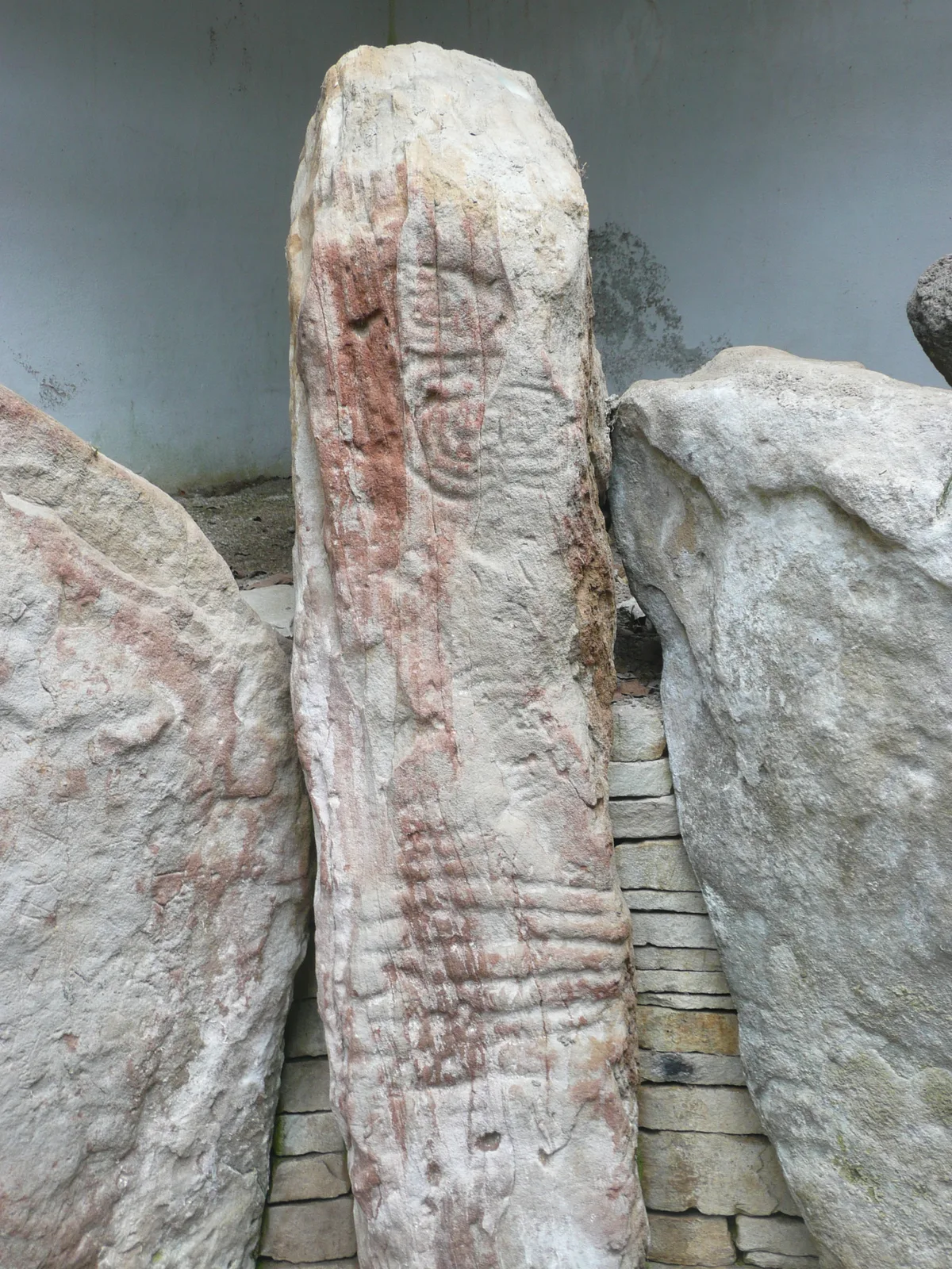
Knockmany passage tomb
Knockmany passage tomb — archaeological site in Northern Ireland.
📷 3Archaeological sites · Northern Ireland
Knockmany
Knockmany — a archaeological in northern-ireland, United Kingdom.
📷 2Natural landmarks · Northern Ireland
Augher St. Macartan's GAC
Augher St. Macartan's GAC in Northern Ireland, United Kingdom.
📷 5Natural landmarks · Northern Ireland
Cloneblaugh
Cloneblaugh in Northern Ireland, United Kingdom.
📷 3Natural landmarks · Northern Ireland
Clogher Éire Óg GAC
Clogher Éire Óg GAC in Northern Ireland, United Kingdom.
Where to eat & stay near Augher
Places to stay
 📷 5
📷 5Caravan parks · Northern Ireland
Round Lake Caravan Park
Round Lake Caravan Park — a caravan park in northern ireland.
 📷 5
📷 5Caravan parks · Northern Ireland
Round Lake Caravan Park
Round Lake Caravan Park — a caravan park in northern ireland.
More natural landmarks in this region
 Flagship📷 4
Natural landmarks · Northern Ireland
Lough Erne
Lough Erne — lake in County Fermanagh, Northern Ireland, UK.
 Flagship📷 4
Natural landmarks · Northern Ireland
Lough Neagh
Lough Neagh — large lake in Northern Ireland.
 📷 3
📷 3Natural landmarks · Northern Ireland
Ballysaggart Lough
Ballysaggart Lough — lake in the United Kingdom.
 📷 5
📷 5Natural landmarks · Northern Ireland
Belmore Mountain
Belmore Mountain — mountain in the United Kingdom.
Frequently asked questions
- Where is Augher?
- Augher is in Northern Ireland, United Kingdom (postcode BT77 0BY).
- What is Augher?
- Augher in Northern Ireland, United Kingdom.
- How do I get to Augher?
- Drivers can use postcode BT77 0BY.
- Is Augher free to visit?
- Yes, Augher is free to enter.
- How do I get to Augher?
- Drivers can navigate to postcode BT77 0BY. It sits within the Fermanagh and South Tyrone parliamentary constituency.