
Abbeys & priories · Scottish Lowlands
Dryburgh Abbey Bridge
In or near St Boswells.
Dryburgh Abbey Bridge in England North East, United Kingdom.

Andreas Wilhelm — CC BY-SA 2.0 via Wikimedia Commons licence

Plan your visit
- Typical visit
- 45 min–1.5 h
- Nearest railway station
- Tweedbank · 7.2 km
- Family-friendly
- Limited wheelchair access
Getting there & planning your visit
To visit Dryburgh Abbey Bridge, the nearest railway station is Tweedbank, located 7.2 km away. The postcode for navigation is TD6 0SG. Accessibility is limited for wheelchair users.
About
Dryburgh Abbey Bridge is a place of interest in England North East, United Kingdom — drawn from open-data sources for visitor reference. See the linked Wikipedia article for the full description.
Photo gallery
From the Wikipedia article
Dryburgh Abbey Bridge was a cable-stayed footbridge of significant historical interest near Dryburgh Abbey, in the Borders of Scotland. It connected the villages of Dryburgh and St. Boswells (part of a ribbon of settlements, including Newtown St. Boswells) across the River Tweed. A crossing had existed here for centuries, originally with a ferry service. The bridge had been commissioned by David Stewart Erskine, 11th Earl of Buchan, an eccentric Scottish aristocrat who died in Dryburgh. It was 79 metres (259 ft) long. At the time, the cable-stayed type of bridge was rapidly becoming more popular. The Earl opened the completed bridge on 1 August 1817, but in January 1818 it collapsed. One of the designers, Thomas Smith, said of the collapse that due to "high wind increasing to [a] perfect hurricane, it carried off [the] chain bridge, leaving only the fastenings and supports, the work of half a year, demolished in an hour...." After a redesign, a replacement was built, but this too collapsed in 1838, by which time the Earl had been dead for several years. The 1818 collapse, together with that of a slightly shorter bridge across the Saale River in Germany in 1824, caused the reputation of cable-stayed bridges to decline rapidly, and despite a history dating back to the 17th century, the design fell from favour for several decades, with combination cable-stayed and suspended-deck suspension bridges (such as the 1883 Brooklyn Bridge) gaining favour. Later research in the 1930s, and experience with reconstruction after the Second World War, demonstrated that with sound design, pure cable-stayed bridges are viable, and the first modern design, the Strömsund Bridge in Sweden, was completed in 1955. Very shortly after the 1818 collapse (between 1819 and 1820) another bridge, the Union Bridge, was built some 40 kilometres (25 mi) downstream. It was an iron suspended-deck suspension bridge, the longest in the world upon its completion. A third Dryburgh Suspension Bridge was…
Excerpt from Wikipedia under CC BY-SA 4.0. See the source article linked in Sources below.
- Coordinates
- 55.5807, -2.6542
- District
- Scottish Borders
- Postcode
- TD6 0SG
- Parliamentary constituency
- Berwickshire, Roxburgh and Selkirk
- Established
- 1817
- Nearest railway station
- Tweedbank — 7.2 km
Sources
- wikidata: Q16833751 (CC0)
- wikipedia: Dryburgh Abbey Bridge (CC BY-SA 4.0)
Other places nearby
Dryburgh Bridge
Abbeys & priories · 0.0 km

Temple of the Muses
Memorials & monuments · 0.1 km

Dryburgh Abbey Hotel
Abbeys & priories · 0.3 km

Dryburgh
Abbeys & priories · 0.3 km

Dryburgh Abbey Hotel
Hotels · 0.4 km

Walter Scott's Tomb
Follies · 0.5 km

Dryburgh Abbey, Chapter House
Memorials & monuments · 0.5 km

Monument to James I of Scotland
Memorials & monuments · 0.5 km
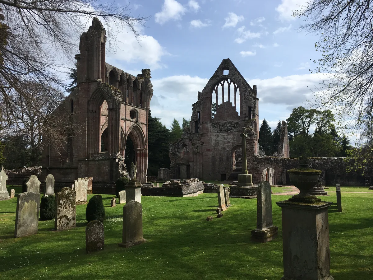
Dryburgh Abbey
Abbeys & priories · 0.7 km

Wallace Statue
Natural landmarks · 0.7 km
Wallace's Statue and Ornamental Urn, Dryburgh
Memorials & monuments · 0.7 km
Statue of William Wallace
Parks · 0.7 km
Nearby
📷 4Abbeys & priories · Scottish Lowlands
Dryburgh Bridge
Dryburgh Bridge in England North East, United Kingdom.
📷 3Memorials & monuments · Scottish Lowlands
Temple of the Muses
Temple of the Muses — a memorial in scotland-central, United Kingdom.
📷 4Abbeys & priories · Scottish Lowlands
Dryburgh Abbey Hotel
Dryburgh Abbey Hotel in England North East, United Kingdom.
📷 4📷 5📷 3Follies · Scottish Lowlands
Walter Scott's Tomb
Walter Scott's Tomb is a folly in the United Kingdom.
Where to eat & stay near Dryburgh Abbey Bridge
Places to stay
📷 5 📷 5
📷 5 📷 5
📷 5Caravan parks · Scottish Lowlands
Roulotte Retreat
Roulotte Retreat — a caravan park in scotland central.
 📷 5
📷 5 📷 5
📷 5Hotels · Scottish Lowlands
The Townhouse
The Townhouse — a hotel in scotland central.
 📷 7
📷 7Places to eat & drink
 📷 6
📷 6Historic pubs · Scottish Lowlands
Town Arms Inn, 1 Market Place, Selkirk
Town Arms Inn, 1 Market Place, Selkirk in Scotland Central, United Kingdom.
 📷 7
📷 7Historic pubs · Scottish Lowlands
Clovenfords Hotel, Clovenfords
Clovenfords Hotel, Clovenfords in Scotland Central, United Kingdom.
More abbeys in this region
 📷 4
📷 4Abbeys & priories · Scottish Lowlands
Jedburgh Public Hall
Jedburgh Public Hall in England North East, United Kingdom.
 Flagship📷 5
 Flagship📷 5
 📷 5
📷 5Abbeys & priories · Scottish Lowlands
Borders Abbeys Way
Borders Abbeys Way in England North East, United Kingdom.
Frequently asked questions
- Where is Dryburgh Abbey Bridge?
- Dryburgh Abbey Bridge is in North-East England, United Kingdom (postcode TD6 0SG).
- What is Dryburgh Abbey Bridge?
- Dryburgh Abbey Bridge in England North East, United Kingdom.
- How do I get to Dryburgh Abbey Bridge?
- The nearest railway station is Tweedbank, about 7.2 km away. Drivers can use postcode TD6 0SG.
- When was Dryburgh Abbey Bridge built?
- Built or established in 1817.
- How do I get to Dryburgh Abbey Bridge?
- The nearest railway station is Tweedbank, about 7.2 km away. Drivers can navigate to postcode TD6 0SG.