
Forests & woodlands · Scottish Lowlands
Druridge Bay Country Park
Druridge Bay Country Park is a forest or woodland in the United Kingdom.

Wikimedia Commons contributors — see linked file page for photographer and licence licence

Plan your visit
- Typical visit
- 1 h–3 h
- Nearest railway station
- Acklington · 4.8 km
- Free entry
- Family-friendly
- Dog-friendly
About
Druridge Bay Country Park is a named forest, woodland or nature reserve in the United Kingdom. Coordinates: 55.2902°, -1.5813°. This entry is part of The Great Britain Guide, a free, ad-free, open-data tourist directory.
Photo gallery
Protected designations
- Site of Special Scientific Interest: Northumberland Shore SSSI
Designations sourced from Natural England open data under OGL v3.
From the Wikipedia article
Druridge Bay Country Park is adjacent to Druridge Bay between Amble and Cresswell, on the coastline of Northumberland, England. The country park was opened officially in 1989, but works had been ongoing since the 1970s to remediate the site after opencast coaling operations. The park is accessible by vehicle from the A1068 road, and is located on the England Coast Path. Public transport can be taken near to the park's closest village, which involves a 15-minute walk to get to the park.
Excerpt from Wikipedia under CC BY-SA 4.0. See the source article linked in Sources below.
Background
History
The eastern edge of the park, where it meets the coastline, was used in the Second World War as an aerial gunnery and target practice range. This was administered by the nearby RAF Acklington station. Opencasting and quarrying were the previous industries in the area, and when these ceased, the site was redeveloped into a country park. Coal has been worked in the area progressively since the 1940s, which has left several large ponds and pools as an after effect of the coaling operations. Druridge Country Park is situated mostly on the former Coldrife surface mine, which was granted permission in 1965 and worked progressively over eight years. The lake is fed by Lady Burn, and was created in…
Sourced from Wikipedia under CC BY-SA 4.0.
- Coordinates
- 55.2902, -1.5813
- District
- Northumberland
- Parish
- East Chevington
- Postcode
- NE61 5BX
- Parliamentary constituency
- North Northumberland
- Established
- 1970
- Nearest railway station
- Acklington — 4.8 km
- Opening
- All year
- Official site
- www.northumberland.gov.uk
Sources
- osm: w26674072 (ODbL)
- wikipedia: Druridge Bay Country Park (CC BY-SA 4.0)
- commons: The visitor centre at Druridge Bay Country Park - geograph.org.uk - 2895257.jpg (CC BY-SA 4.0)
Other places nearby
Loading nearby places…
Nearby
 📷 3
📷 3Country parks · Scottish Lowlands
Druridge Country Park
Druridge Country Park — a country park in scotland-lowlands, United Kingdom.
 📷 5
📷 5Other places · North East England
Hadston
Hadston in England North East, United Kingdom.
 📷 3
📷 3Mountains & hills · Scottish Lowlands
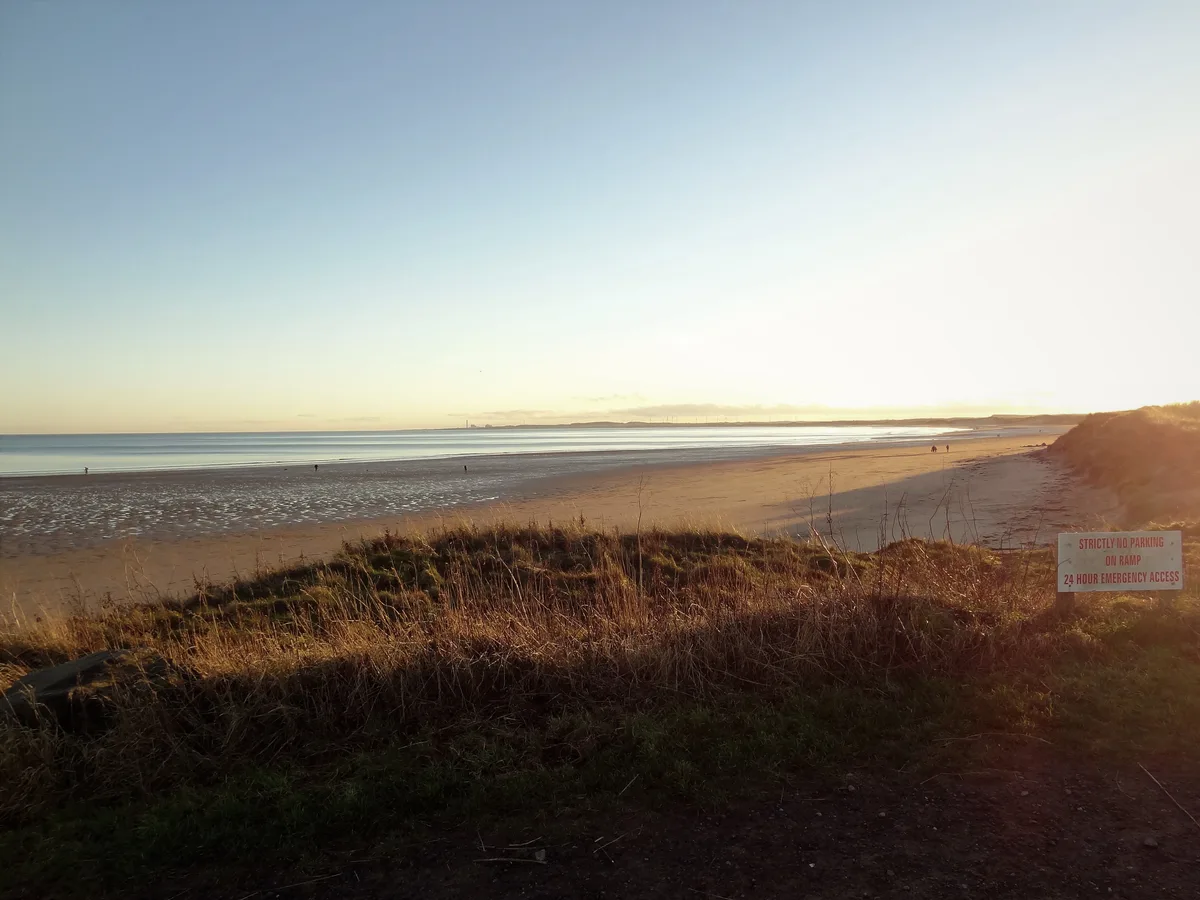
Druridge Bay
Druridge Bay — long bay in Northumberland, England.
 📷 4
📷 4Other places · North East England
East Chevington
East Chevington in England North East, United Kingdom.
 📷 3
📷 3Other places · North East England
Hadston Skeers
Hadston Skeers in England North East, United Kingdom.
 📷 4
📷 4Harbours & ports · North East England
Broomhill Station
Broomhill Station in England North East, United Kingdom.
More forests in this region
 📷 3
📷 3Forests & woodlands · Scottish Lowlands
Bishop Middleham Quarry Nature Reserve
Bishop Middleham Quarry Nature Reserve is a forest or woodland in the United Kingdom.
 📷 3
📷 3Forests & woodlands · Scottish Lowlands
Black Plantation
Black Plantation is a forest or woodland in the United Kingdom.
 📷 3
📷 3Forests & woodlands · Scottish Lowlands
Black Plantation
Black Plantation is a forest or woodland in the United Kingdom.
 📷 3
📷 3Forests & woodlands · Scottish Lowlands
Caerlaverock Wetland Centre
Caerlaverock Wetland Centre is a forest or woodland in the United Kingdom.
Frequently asked questions
- Where is Druridge Bay Country Park?
- Druridge Bay Country Park is in the Scottish Lowlands, United Kingdom (postcode NE61 5BX), in the parish of East Chevington.
- What is Druridge Bay Country Park?
- Druridge Bay Country Park is a forest or woodland in the United Kingdom.
- How do I get to Druridge Bay Country Park?
- The nearest railway station is Acklington, about 4.8 km away. Drivers can use postcode NE61 5BX.
- When was Druridge Bay Country Park built?
- Built or established in 1970.
- Who owns Druridge Bay Country Park?
- Druridge Bay Country Park is owned by | administrator =.
- Is Druridge Bay Country Park a protected site?
- Yes — Druridge Bay Country Park is part of the Northumberland Shore SSSI Site of Special Scientific Interest.
- Is Druridge Bay Country Park free to visit?
- Yes, Druridge Bay Country Park is free to enter.
- How do I get to Druridge Bay Country Park?
- The nearest railway station is Acklington, about 4.8 km away. Drivers can navigate to postcode NE61 5BX.