
Memorials & monuments · North East England
Chibburn Preceptory
In or near Widdrington Village.
Chibburn Preceptory in England North East, United Kingdom.

Bryan Pready — CC BY-SA 2.0 via Wikimedia Commons licence

Plan your visit
- Typical visit
- 15 min–45 min
- Nearest railway station
- Widdrington · 3.2 km
- Free entry
- Dog-friendly
Getting there & planning your visit
To visit Chibburn Preceptory, the nearest railway station is Widdrington, located 3.2 km away. Entry is free.
About
Chibburn Preceptory is a place of interest in England North East, United Kingdom — drawn from open-data sources for visitor reference. See the linked Wikipedia article for the full description.
Photo gallery
Protected designations
- Site of Special Scientific Interest: Northumberland Shore SSSI
Designations sourced from Natural England open data under OGL v3.
From the Wikipedia article
Chibburn Preceptory (also known as Low Chibburn Preceptory) are the ruins of a Medieval/Post-Medieval Hospitaller preceptory near Widdrington in Northumberland, England. The preceptory was first recorded in 1313, and it was abolished in 1540 when all its lands were passed to the Crown and later the Widdrington family. Low Chibburn had several uses, ranging from a hospital to a dowager house before being razed by French invaders in 1691. The preceptory buildings have undergone repair and restoration by Northumberland County Council, and the site is now a Scheduled Ancient Monument protected by law.
Excerpt from Wikipedia under CC BY-SA 4.0. See the source article linked in Sources below.
Background
Description
The buildings of the preceptory consisted of a dwelling house, a chapel and various offices enclosing a small, central courtyard. Of these, only the east and south wall, along with parts of the north wall of the chapel still stand. The present dwelling house was built some time after the Dissolution of the Monasteries, possibly by Sir John Widdrington, who was given the manor of Chibburn in 1553. The preceptory was defended by a moat enclosing an area some 100 meters in diameter, and although the moat and a possible pond is still visible at the site, some of these features have been infilled and later destroyed by open cast mining in 1957. The chapel served as a pillbox during the Second…
Sourced from Wikipedia under CC BY-SA 4.0.
- Coordinates
- 55.2623, -1.5831
- District
- Northumberland
- Parish
- Widdrington Village
- Postcode
- NE61 5EF
- Parliamentary constituency
- North Northumberland
- Nearest railway station
- Widdrington — 3.2 km
Sources
- wikidata: Q5095327 (CC0)
- wikipedia: Chibburn Preceptory (CC BY-SA 4.0)
Other places nearby

Widdrington Village
Towns & cities · 1.2 km

Widdrington Castle and 18th century Gothic castle and gardens south of Widdrington Farm
Castles · 1.3 km

Church of the Holy Trinity
Historic churches · 1.4 km
Widdrington Castle
Castles · 1.4 km
Widdrington War Memorial
Memorials & monuments · 1.4 km

Widdrington
Villages · 1.4 km
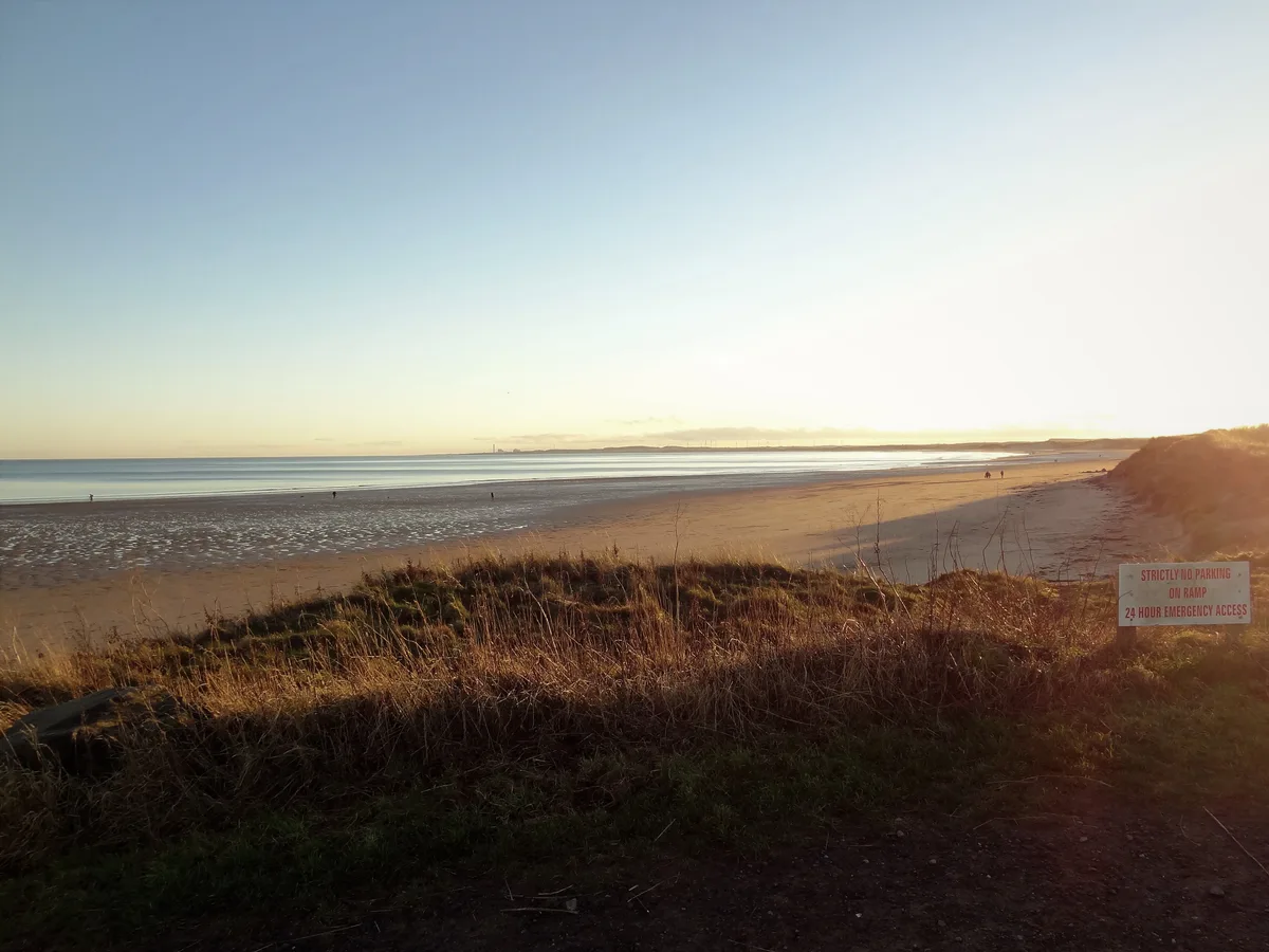
Druridge Bay
Mountains & hills · 2.1 km

North Steads Wind Farm
Farms (open to visitors) · 2.2 km

Widdrington Station and Stobswood
Other places · 3.1 km
Widdrington Station
Natural landmarks · 3.1 km

Druridge Bay Country Park
Forests & woodlands · 3.1 km

Widdrington railway station
Memorials & monuments · 3.2 km
Nearby
📷 5Towns & cities · North East England
Widdrington Village
Widdrington Village in England North East, United Kingdom.
📷 3Castles · North East England
Widdrington Castle and 18th century Gothic castle and gardens south of Widdrington Farm
Widdrington Castle and 18th century Gothic castle and gardens south of Widdrington Farm — scheduled monument-listed castle in scotland-lowlands, United Kingdom.
📷 3Historic churches · North East England
Church of the Holy Trinity
Church of the Holy Trinity — church in Widdrington, Northumberland, England, UK.
📷 3Castles · North East England
Widdrington Castle
Widdrington Castle — castle in Widdrington Village, Northumberland, England, UK.
📷 3Memorials & monuments · North East England
Widdrington War Memorial
Widdrington War Memorial — Grade II listed building-listed memorial in scotland-lowlands, United Kingdom.
📷 5Where to eat & stay near Chibburn Preceptory
Places to stay
 📷 5
📷 5Caravan parks · North East England
Ellington Caravan Park
Ellington Caravan Park — a caravan park in scotland lowlands.
 📷 5
📷 5Caravan parks · North East England
Silvercarrs Caravan Park
Silvercarrs Caravan Park — a caravan park in scotland lowlands.
 📷 5
📷 5 📷 5
📷 5Hostels · North East England
Radcliffes Lodge
Radcliffes Lodge — a hostel in scotland lowlands.
 📷 5
📷 5Caravan parks · North East England
Felmoor Park
Felmoor Park — a caravan park in scotland lowlands.
 📷 5
📷 5Caravan parks · North East England
Bockenfield Country Holiday Park
Bockenfield Country Holiday Park — a caravan park in scotland lowlands.
Places to eat & drink
 📷 5
📷 5Historic pubs · North East England
The Dock Public House
The Dock Public House in England North East, United Kingdom.
 📷 5
📷 5Historic pubs · North East England
Northumberland Arms
Northumberland Arms in Scotland Lowlands, United Kingdom.
 📷 5
📷 5 📷 5
📷 5Historic pubs · North East England
The Anglers Arms
The Anglers Arms in Scotland Lowlands, United Kingdom.
 📷 7
📷 7Historic pubs · North East England
The Tanners Arms
The Tanners Arms in Scotland Lowlands, United Kingdom.
 📷 7
📷 7More memorials in this region
 📷 3
📷 3Memorials & monuments · North East England
Hurworth and Neasham War Memorial
Hurworth and Neasham War Memorial — Grade II listed building-listed memorial in england-yorkshire, United Kingdom.
 📷 3
📷 3Memorials & monuments · North East England
Fryingpan Stone
Fryingpan Stone — a memorial in england-yorkshire, United Kingdom.
 📷 3
📷 3Memorials & monuments · North East England
Yoak Stone
Yoak Stone — a memorial in england-yorkshire, United Kingdom.
 📷 3
📷 3Memorials & monuments · North East England
Pump Cottage 1680
Pump Cottage 1680 — a memorial in england-yorkshire, United Kingdom.
Frequently asked questions
- Where is Chibburn Preceptory?
- Chibburn Preceptory is in North-East England, United Kingdom (postcode NE61 5EF), in the parish of Widdrington Village.
- What is Chibburn Preceptory?
- Chibburn Preceptory in England North East, United Kingdom.
- How do I get to Chibburn Preceptory?
- The nearest railway station is Widdrington, about 3.2 km away. Drivers can use postcode NE61 5EF.
- Is Chibburn Preceptory a protected site?
- Yes — Chibburn Preceptory is part of the Northumberland Shore SSSI Site of Special Scientific Interest.
- Is Chibburn Preceptory free to visit?
- Yes, Chibburn Preceptory is free to enter.
- How do I get to Chibburn Preceptory?
- The nearest railway station is Widdrington, about 3.2 km away. Drivers can navigate to postcode NE61 5EF.