Cemeteries · East of England
Dovercourt Cemetery
Also known as: Dovercourt
Dovercourt Cemetery is a cemetery in the United Kingdom.

Wikimedia Commons contributors — see linked file page for photographer and licence licence
Plan your visit
- Typical visit
- 30 min–1 h
- Nearest railway station
- Harwich International · 1.6 km
- Free entry
- Dog-friendly
About
Dovercourt Cemetery is a cemetery in Essex, East of England of architectural and local-history note. The site is within the Suffolk Coast & Heaths National Landscape (AONB). It sits within the Harwich and North Essex parliamentary constituency. The nearest railway station is Harwich International, about 1.6 km away. Postcode area CO12.
Photo gallery
Protected designations
- Area of Outstanding Natural Beauty: Suffolk Coast & Heaths
Designations sourced from Natural England open data under OGL v3.
From the Wikipedia article
Dovercourt is an area of Harwich in the Tendring district of Essex, England. Dovercourt has been administered as part of Harwich since at least the 17th century and forms part of the Harwich built up area. It is sometimes described as a suburb of Harwich and sometimes as a separate town. The area around Dovercourt High Street now serves as the main town centre of the Harwich built up area; there are few retail facilities in the old town of Harwich. Dovercourt is also a seaside resort, with beaches onto Dovercourt Bay on its southern side. It is served by Dovercourt railway station.
Excerpt from Wikipedia under CC BY-SA 4.0. See the source article linked in Sources below.
Background
History
The name is common Brittonic with "Dover" coming from "dwfr", which is "water" in modern Welsh; the origin of "court" is unknown but possibly meant "land cut off by". Dovercourt was recorded as 'Douorcortae' in the year 1000. Dovercourt appears in the Domesday Book of 1086, when it was a manor. The Domesday Book records that a Saxon lord called Wulwin or Ulwin had been lord of the manor in 1066; by 1086 the estate was in possession of Aubrey de Vere and remained part of the barony of his descendants, the Earls of Oxford, until the 16th century. It formed part of the dowry of Juliana de Vere when she married Hugh Bigod in the mid-12th century, and the sub-tenancy passed to the Bigod earls of…
Description
In the 1400s All Saints Church in Main Road drew thousands of pilgrims after the wooden cross (or rood) on its rood screen became a shrine. "It acquired a miraculous reputation and was said to have spoken on some occasions" said the historian John Ashdown-Hill. The 1600 version of the play Grim, the Collier of Croydon says: "And now the rood of Dovercourt did speak, Confirming his opinions to true." The accounts of John Howard, 1st Duke of Norfolk, show that he donated money to the shrine "including clothing in 1482 used to dress the image of Christ on the rood", according to Ashdown-Hill. The 1981 edition of Brewer's Dictionary of Phrase & Fable says that John Foxe reported that the crowd…
Sourced from Wikipedia under CC BY-SA 4.0.
- Coordinates
- 51.9330, 1.2502
- County
- Essex
- District
- Tendring
- Parish
- Harwich
- Postcode
- CO12 4LW
- Parliamentary constituency
- Harwich and North Essex
- Nearest railway station
- Harwich International — 1.6 km
Sources
- osm: w103074426 (ODbL)
- commons: The entrance to Dovercourt Cemetery - geograph.org.uk - 422113.jpg (CC BY-SA 4.0)
- wikipedia: Dovercourt (CC BY-SA 4.0)
Other places nearby
Loading nearby places…
Nearby
 📷 3
📷 3Public art & sculpture · East of England
Parkeston Village Sign
Parkeston Village Sign — a public art in england-east, United Kingdom.
Caravan parks · East of England
Dovercourt Holiday Park
Dovercourt Holiday Park — a caravan park in england east.
 📷 3
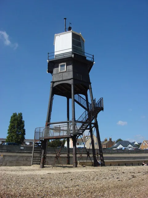
📷 3Lighthouses · East of England
Dovercourt High Light
Dovercourt High Light is a lighthouse in the United Kingdom.
 📷 3
📷 3Public art & sculpture · East of England
Little Oakley Village Sign
Little Oakley Village Sign — a public art in england-east, United Kingdom.
📷 3Memorials & monuments · East of England
Little Oakley War Memorial
Little Oakley War Memorial — Grade II listed building-listed memorial in england-east, United Kingdom.
 📷 3
📷 3Memorials & monuments · East of England
Dovercourt Minesweepers Memorial
Dovercourt Minesweepers Memorial — Grade II listed building-listed memorial in england-east, United Kingdom.
More cemeteries in this region
 📷 3
📷 3Cemeteries · East of England
Barfield Road Cemetery
Barfield Road Cemetery is a cemetery in the United Kingdom.
 📷 3
📷 3Cemeteries · East of England
Bury St. Edmunds Cemetery
Bury St. Edmunds Cemetery is a cemetery in the United Kingdom.
 📷 4
📷 4Cemeteries · East of England
Caister Cemetery
Caister Cemetery is a cemetery in the United Kingdom.
 📷 5
📷 5Cemeteries · East of England
Castle Hedingham Cemetery
Castle Hedingham Cemetery is a cemetery in the United Kingdom.
Frequently asked questions
- Where is Dovercourt Cemetery?
- Dovercourt Cemetery is in Essex, East of England, United Kingdom (postcode CO12 4LW), in the parish of Harwich.
- Is Dovercourt Cemetery a protected site?
- Yes — Dovercourt Cemetery is part of the Suffolk Coast & Heaths National Landscape (AONB).
- How do I get to Dovercourt Cemetery?
- The nearest railway station is Harwich International, about 1.6 km away. Drivers can navigate to postcode CO12 4LW.