
Hill forts · Northern Ireland
Dooey's Cairn
In or near Dunloy.
Dooey's Cairn — archaeological site in County Antrim, Northern Ireland.

Wikimedia Commons contributors — see linked file page for photographer and licence licence
Plan your visit
- Typical visit
- 1 h–2 h
- Free entry
- Dog-friendly
About
Dooey's Cairn is a hill fort in the United Kingdom. Wikidata describes it as: "archaeological site in County Antrim, Northern Ireland". Coordinates: 55.0016°, -6.4044°.
Photo gallery
From the Wikipedia article
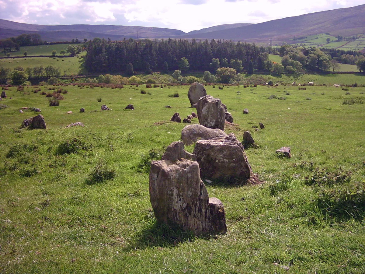
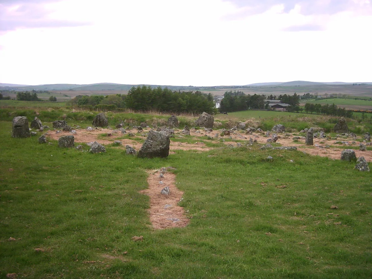
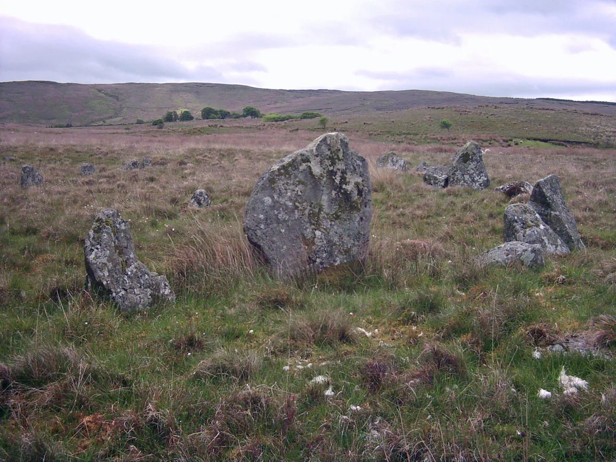
Dooey's Cairn, or Ballymacaldrack Court Tomb, is a prehistoric site of the Neolithic period, situated near Dunloy, in County Antrim, Northern Ireland. It is named after Andrew Dooey, who owned the land; the monument was granted to the state in 1975 by his family. It is maintained by the Northern Ireland Environment Agency.
Excerpt from Wikipedia under CC BY-SA 4.0. See the source article linked in Sources below.
Background
Description
Court tombs, or court cairns, are of the Neolithic period (c. 4000 to 2000 BC). There are about 400 in Ireland, and most of them are in the northern half of the island. A court tomb has an open area, bounded by upright slabs or drystone walling, in front of a chamber. It is thought that a ritual or social event took place here. Dooey's Cairn is well preserved. Court tombs are usually aligned north–south, but here the U-shaped court, defined by eleven upright slabs, faces south-west of a small roofless chamber; two portal stones are at the entrance to the chamber. Excavation in 1935 found polished stone axes beneath the portal stones. Behind the chamber are two more portal stones leading to…
Sourced from Wikipedia under CC BY-SA 4.0.
- Coordinates
- 55.0016, -6.4044
- District
- Causeway Coast and Glens
- Postcode
- BT44 9DZ
- Parliamentary constituency
- North Antrim
Sources
- wikidata: Q1242421 (CC0)
- wikipedia: Dooey's Cairn (CC BY-SA 4.0)
- commons: Dooey'sCairn(PaulO'Brien)Jun2008.jpg (CC BY-SA 4.0)
Other places nearby

Dunloy
Towns & cities · 0.8 km

Dunloy
Villages · 1.1 km

Dunloy railway station
Natural landmarks · 1.5 km

Long Mountain
Mountains & hills · 1.5 km
Long Mountain
Mountains & hills · 1.5 km

Anticur
Natural landmarks · 1.7 km

Killagan railway station
Natural landmarks · 3.0 km

Kilconway
Natural landmarks · 3.3 km

Craigs Upper
Villages · 4.0 km

Artiferrall
Natural landmarks · 4.1 km

The Broad Stone (Craigs)
Archaeological sites · 4.3 km

Craigs Middle
Villages · 4.5 km
Nearby
📷 3Towns & cities · Northern Ireland
Dunloy
Dunloy — village in County Antrim, Northern Ireland, UK.
📷 5📷 4Natural landmarks · Northern Ireland
Dunloy railway station
Dunloy railway station in Northern Ireland, United Kingdom.
📷 5Mountains & hills · Northern Ireland
Long Mountain
Long Mountain — mountain in northern ireland. Elevation: 215.00 m.
📷 5Mountains & hills · Northern Ireland
Long Mountain
Long Mountain — a hill or mountain in northern ireland.
Where to eat & stay near Dooey's Cairn
Places to stay
 📷 5
📷 5 📷 5
📷 5 📷 2
📷 2Caravan parks · Northern Ireland
Charlie's Hideaway Camping & Caravanning
Charlie's Hideaway Camping & Caravanning — a caravan park in northern ireland.
 📷 4
📷 4 📷 3
📷 3 📷 2
📷 2Caravan parks · Northern Ireland
Tullans Farm Caravan Park
Tullans Farm Caravan Park — a caravan park in northern ireland.
Places to eat & drink
 📷 5
📷 5 📷 7
📷 7Historic pubs · Northern Ireland
House of McDonnell
House of McDonnell in Northern Ireland, United Kingdom.
More places in this region
Jun2008.jpg)
Frequently asked questions
- Where is Dooey's Cairn?
- Dooey's Cairn is in Northern Ireland, United Kingdom (postcode BT44 9DZ).
- What is Dooey's Cairn?
- Dooey's Cairn — archaeological site in County Antrim, Northern Ireland.
- How do I get to Dooey's Cairn?
- Drivers can use postcode BT44 9DZ.
- Is Dooey's Cairn free to visit?
- Yes, Dooey's Cairn is free to enter.
- How do I get to Dooey's Cairn?
- Drivers can navigate to postcode BT44 9DZ. It sits within the North Antrim parliamentary constituency.