
Mountains & hills · South East England
Ditchling Beacon
In or near Falmer.
Ditchling Beacon — Named summit at 249 m.

Wikimedia Commons contributors — see linked file page for photographer and licence licence
.jpg)
Plan your visit
- Typical visit
- 3 h–8 h
- Best time of year
- Late spring – early autumn (May–Oct)
- Nearest railway station
- Hassocks · 3.7 km
- Free entry
- Family-friendly
- Dog-friendly
Getting there & planning your visit
To visit Ditchling Beacon, the nearest railway station is Hassocks, located 3.7 km away. Entry is free, and the location is accessible via postcode BN6 8XD.
About
Ditchling Beacon is a named summit in the United Kingdom. Wikidata describes it as: "Named summit at 249 m.". Coordinates: 50.9017°, -0.1076°.
Photo gallery
360° viewimagery from 2021
Imagery © Mapillary contributors, CC BY-SA 4.0
Protected designations
- Site of Special Scientific Interest: Clayton to Offham Escarpment SSSI
- Area of Outstanding Natural Beauty: High Weald
Designations sourced from Natural England open data under OGL v3.
From the Wikipedia article
Ditchling Beacon is the highest point in East Sussex, England, with an elevation of 248 m (814 ft). It is south of Ditchling and to the north-east of Brighton. It is a large chalk hill with a particularly steep northern face, covered with open grassland and sheep-grazing areas. It is the third-highest point on the South Downs, behind Butser Hill (270 m (890 ft)) and Crown Tegleaze (253 m (830 ft)). A road runs from Ditchling up and across the northern face and down into the northern suburbs of Brighton, and there are car parks at the summit and the northern base. Various charity, sporting and other events which are run regularly between London and Brighton incorporate this steep road as a challenging part of their route. It was also featured as a climb on the first of two days' racing in Britain in the 1994 Tour de France. The Tour organisers gave Ditchling Beacon a climb category of 4. 20 years later it was included as part of the route of the seventh stage of the 2014 Tour of Britain from Camberley to Brighton. Ditchling Beacon is part of the Clayton to Offham Escarpment biological Site of Special Scientific Interest and an area of 24 hectares (59 acres) is a nature reserve managed by the Sussex Wildlife Trust. The slopes represent some of the best chalk downland in the area.
Excerpt from Wikipedia under CC BY-SA 4.0. See the source article linked in Sources below.
Background
History
Ditchling Beacon was an Iron Age hill fort and its ramparts are detectable on their north and east sides (), though the overgrown vegetation and fences makes it difficult to walk them in parts. The eastern ramparts bound a fragment of derelict chalk heath, which is disappearing under scrub and rank grassland. The Beacon represented an excellent position for defensive purposes as it dominates adjoining parts of the South Downs ridge, and particularly the much lower ground to the north (where the villages and towns of Mid Sussex are now located) in the Lower Weald. A single defensive bank and ditch enclosed an area of approximately 5.5 hectares (13.6 acres), making it one of the larger camps…
Visiting
There are three bostals that run up the escarpment to Ditchling Beacon, the middle one of which carries the motor road. The other two are walkable, but most people do not notice the higher (west of motor road) and lower (east of motor road) bostals, which give easy access, because the slopes are still broken up by thickets despite Sussex Wildlife Trusts's valiant and ongoing efforts to clear the scrub. In contrast, many people scramble enthusiastically up and down the slopes of the Beacon's sister site, Devil's Dyke. The only road access to the summit is via the steep and narrow Beacon Road, which runs from the centre of Ditchling village and takes the name Ditchling Road once the summit is…
Sourced from Wikipedia under CC BY-SA 4.0.
- Coordinates
- 50.9017, -0.1076
- County
- East Sussex
- District
- Lewes
- Parish
- Ditchling
- Postcode
- BN6 8XD
- Parliamentary constituency
- Lewes
- Nearest railway station
- Hassocks — 3.7 km
Sources
- osm: n33825466 (ODbL)
- wikipedia: Ditchling Beacon (CC BY-SA 4.0)
- commons: D Beacon (N from Summit).jpg (CC BY-SA 4.0)
Featured in this guide
Other places nearby

Hillfort, a beacon and dewpond on Ditchling Beacon
Vineyards · 0.1 km

Westmeston
Villages · 0.8 km

Kingley Vale
Battlefields & battle sites · 1.7 km

Clayton Holt
Natural landmarks · 1.7 km

Bow Hill
Mountains & hills · 2.0 km

Ditchling
Museums · 2.0 km

Stoneywish
Campsites · 2.2 km
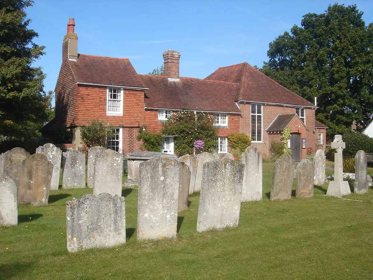
Ditchling Unitarian Chapel
Historic churches · 2.2 km

Ditchling War Memorial
Memorials & monuments · 2.3 km

Venue 8
Galleries · 2.3 km
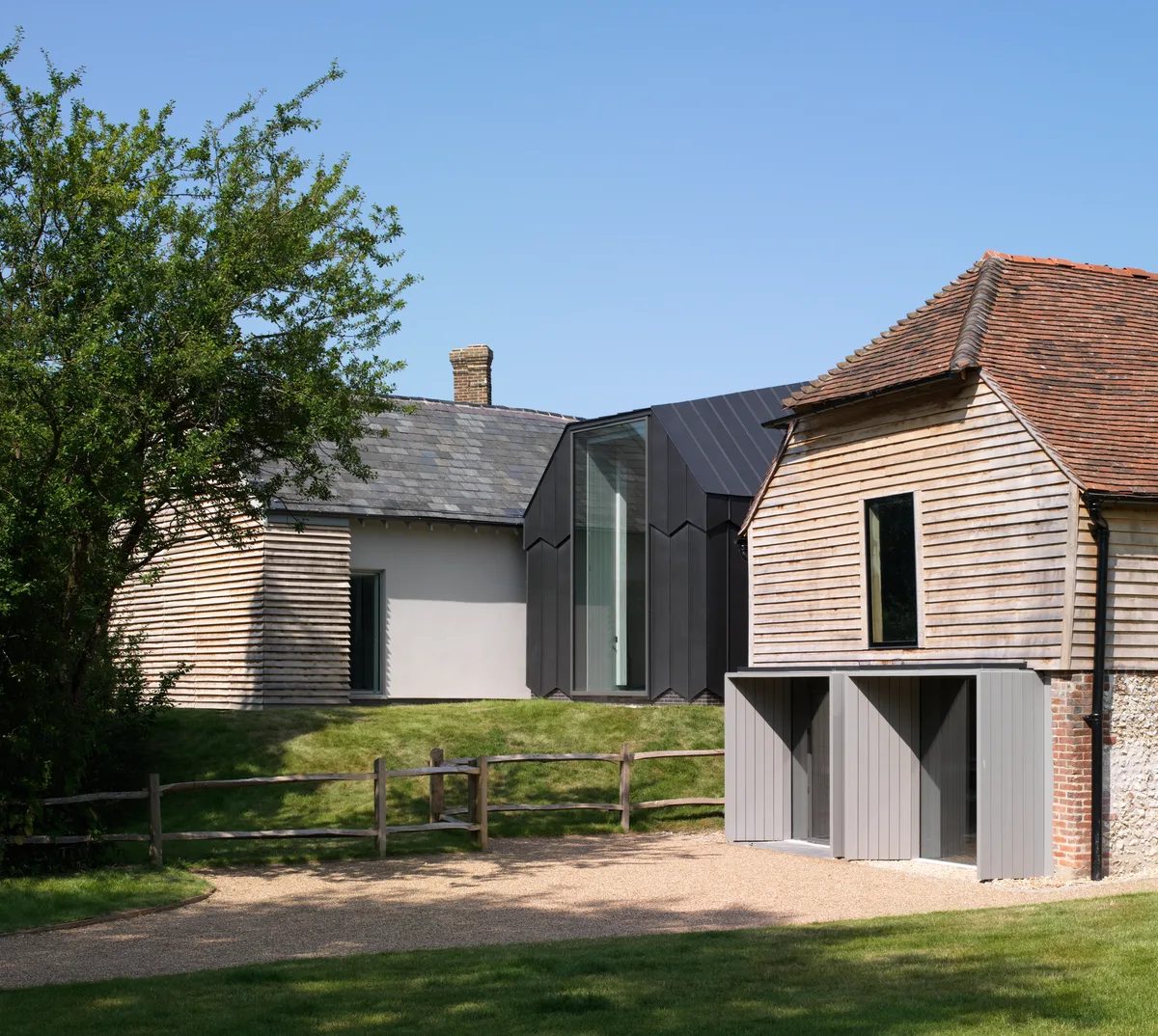
Ditchling Museum of Art + Craft
Museums · 2.3 km

Southdown Way Caravan & Camping Park
Campsites · 2.4 km
Nearby
📷 5Vineyards · South East England
Hillfort, a beacon and dewpond on Ditchling Beacon
Hillfort, a beacon and dewpond on Ditchling Beacon — a UK vineyard in england south east, producing English or Welsh wine from cool-climate grape varieties.
📷 5📷 5Battlefields & battle sites · South East England
Kingley Vale
Kingley Vale in England South East, United Kingdom.
📷 5Natural landmarks · South East England
Clayton Holt
Clayton Holt — a other in england-south-east, United Kingdom.
📷 5Mountains & hills · South East England
Bow Hill
Bow Hill — mountain in england south east. Elevation: 153 m.
📷 5Museums · South East England
Ditchling
Ditchling — a museum in england-south-east, United Kingdom.
Where to eat & stay near Ditchling Beacon
Places to stay
📷 5📷 5Campsites · South East England
Southdown Way Caravan & Camping Park
Southdown Way Caravan & Camping Park — a campsite in england south east.
 📷 5
📷 5Campsites · South East England
Blackberry Wood (Meadow Campsite)
Blackberry Wood (Meadow Campsite) — a campsite in england south east.
 📷 5
📷 5Campsites · South East England
Blackberry Woods
Blackberry Woods — a campsite in england south east.
 📷 5
📷 5Campsites · South East England
Housedean Farm Campsite
Housedean Farm Campsite — a campsite in england south east.
📷 5Campsites · South East England
Housedean Farm Campsite
Housedean Farm Campsite — a campsite in england south east.
Places to eat & drink
 📷 5
📷 5Historic pubs · South East England
The Half Moon Inn
The Half Moon Inn in England South East, United Kingdom.
 📷 5
📷 5Historic pubs · South East England
The Rainbow Inn
The Rainbow Inn in England South East, United Kingdom.
 📷 5
📷 5Cafés · South East England
Cowley Club Café
Cowley Club Café — a café in england south east.
_(June_2019)_(2).JPG?width=1200) 📷 5
📷 5Historic pubs · South East England
The Black Horse Inn
The Black Horse Inn — Historic pub — listed building or notable heritage status.
 📷 5
📷 5Historic pubs · South East England
Kissing Coppers
Kissing Coppers — Public artwork (graffiti) by Banksy.
 📷 5
📷 5Historic pubs · South East England
The Five Bells Inn
The Five Bells Inn in England South East, United Kingdom.
More mountains in this region
 📷 5
📷 5 📷 5
📷 5Mountains & hills · South East England
Reigate Caves
Reigate Caves is a mountain or hill in the United Kingdom.
 📷 5
📷 5Mountains & hills · South East England
North Downs
North Downs — a hill or mountain in england london.
 📷 5
📷 5Mountains & hills · South East England
Blue Bell Hill
Blue Bell Hill — a hill or mountain in england london.
Frequently asked questions
- Where is Ditchling Beacon?
- Ditchling Beacon is in East Sussex, South-East England, United Kingdom (postcode BN6 8XD), in the parish of Ditchling.
- What is Ditchling Beacon?
- Ditchling Beacon — Named summit at 249 m.
- How do I get to Ditchling Beacon?
- The nearest railway station is Hassocks, about 3.7 km away. Drivers can use postcode BN6 8XD.
- Is Ditchling Beacon a protected site?
- Yes — Ditchling Beacon is part of the Clayton to Offham Escarpment SSSI Site of Special Scientific Interest and the High Weald National Landscape (AONB).
- Is Ditchling Beacon free to visit?
- Yes, Ditchling Beacon is free to enter.
- How do I get to Ditchling Beacon?
- The nearest railway station is Hassocks, about 3.7 km away. Drivers can navigate to postcode BN6 8XD.