
Museums · North East England
De Havilland DH.112 Venom FB Mk 4
In or near Alston.
De Havilland DH.112 Venom FB Mk 4 — a museum in scotland-lowlands, United Kingdom.

Mike Quinn — CC BY-SA 2.0 via Wikimedia Commons licence
_Broad_Mea_-_geograph.org.uk_-_608187.jpg)
Plan your visit
- Typical visit
- 1.5 h–3 h
- Best time of year
- Year-round
- Nearest railway station
- Slaggyford · 5.9 km
- Family-friendly
- Limited wheelchair access
About
De Havilland DH.112 Venom FB Mk 4 is a museum located in scotland-lowlands, United Kingdom. Sourced from OpenStreetMap (ODbL licence); see local listings for visitor information, opening hours and admission details.
Photo gallery
Official information
The De Havilland DH.112 Venom FB Mk 4 is a military aircraft that crashed on March 4, 1957, during a test flight from RAF Silloth. The wreckage is located in the Northumberland moors, known only to a few locals and hikers, marking the tragic site of the pilot's fatal accident.
Protected designations
- Site of Special Scientific Interest: River Eden and Tributaries SSSI
- Area of Outstanding Natural Beauty: North Pennines
Designations sourced from Natural England open data under OGL v3.
Place summary
The De Havilland DH.112 Venom FB Mk 4 is an aircraft displayed in a museum in the Scottish Lowlands. This British jet fighter, notable for its role during the Cold War, reflects advancements in aviation technology. The Venom is part of the UK's military aviation heritage and is preserved for public viewing.
AI-generated from the structured facts on this page (operator, designation, listing, era). Not a substitute for visiting.
- Coordinates
- 54.8262, -2.5676
- Nearest railway station
- Slaggyford — 5.9 km
- Official site
- aviation-safety.net
Sources
- osm: node/9691524165 (ODbL)
Other places nearby
Farlam Currick
Mountains & hills · 0.1 km

Watch Hill
Mountains & hills · 2.2 km

Tom Smith's Stone
Memorials & monuments · 2.2 km

Tom Smith's Stone Top
Mountains & hills · 2.4 km

Grey Nag
Mountains & hills · 2.9 km

Thack Moor
Mountains & hills · 3.0 km
Thack Moor
Mountains & hills · 3.1 km

Peel Dod
Mountains & hills · 3.2 km

Three Pikes
Mountains & hills · 3.4 km

Stouthard
Mountains & hills · 3.6 km
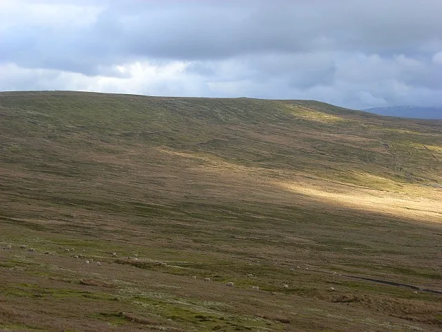
Black Fell
Mountains & hills · 3.8 km
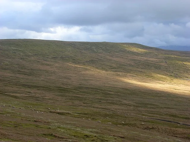
Black Fell
Natural landmarks · 3.9 km
Nearby
📷 5Mountains & hills · North East England
Farlam Currick
Farlam Currick — mountain in scotland lowlands. Elevation: 589.5 m.
📷 5Mountains & hills · North East England
Watch Hill
Watch Hill — mountain in scotland lowlands. Elevation: 602 m.
📷 3Memorials & monuments · North East England
Tom Smith's Stone
Tom Smith's Stone — a memorial in scotland-lowlands, United Kingdom.
📷 5Mountains & hills · North East England
Tom Smith's Stone Top
Tom Smith's Stone Top — mountain in scotland lowlands. Elevation: 637 m.
📷 5Mountains & hills · North East England
Grey Nag
Grey Nag — mountain in scotland lowlands. Elevation: 656 m.
📷 5Mountains & hills · North West England
Thack Moor
Thack Moor — a hill or mountain in scotland lowlands.
Where to eat & stay near De Havilland DH.112 Venom FB Mk 4
Places to stay
 📷 5
📷 5Caravan parks · North East England
Fell View Lake House Caravan Park
Fell View Lake House Caravan Park — a caravan park in scotland lowlands.
 📷 5
📷 5 📷 5
📷 5 📷 7
📷 7B&Bs · North East England
Lowbyer Manor Country House
Lowbyer Manor Country House — a bed-and-breakfast in scotland lowlands.
 📷 5📷 5
Places to eat & drink
 📷 4
📷 4Historic pubs · North West England
Hallbankgate
Hallbankgate in England North East, United Kingdom.
 📷 5
📷 5Historic pubs · North West England
Graham Arms (West Of Gelt Bridge)
Graham Arms (West Of Gelt Bridge) in Scotland Lowlands, United Kingdom.
 📷 3
📷 3 📷 5
📷 5 📷 4
📷 4 📷 7
📷 7Cafés · North West England
Narrowbar Cafe
Narrowbar Cafe — a café in scotland lowlands.
More museums in this region
 📷 3
📷 3Museums · North East England
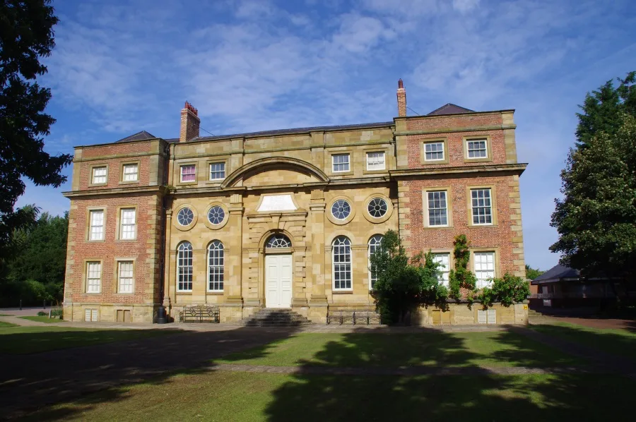
Kirkleatham Museum
Kirkleatham Museum — museum in the Tees Valley, United Kingdom.
 📷 3
📷 3Museums · North East England
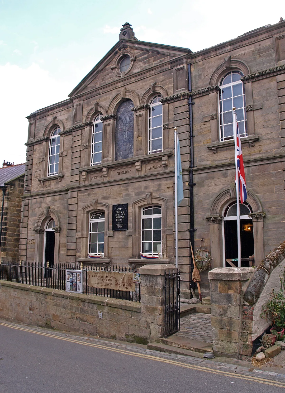
Staithes Museum
Staithes Museum — museum in Staithes, North Yorkshire, England, UK.
 📷 4
📷 4Museums · North East England
Former Chapel School
Former Chapel School in England North East, United Kingdom.
 📷 4
📷 4Museums · North East England
Stainmore Summit
Stainmore Summit in England North East, United Kingdom.
Frequently asked questions
- Where is De Havilland DH.112 Venom FB Mk 4?
- De Havilland DH.112 Venom FB Mk 4 is in the Scottish Lowlands, United Kingdom.
- What is De Havilland DH.112 Venom FB Mk 4?
- De Havilland DH.112 Venom FB Mk 4 — a museum in scotland-lowlands, United Kingdom.
- How do I get to De Havilland DH.112 Venom FB Mk 4?
- The nearest railway station is Slaggyford, about 5.9 km away. Its coordinates are 54.8262°, -2.5676°.
- Is De Havilland DH.112 Venom FB Mk 4 a protected site?
- Yes — De Havilland DH.112 Venom FB Mk 4 is part of the River Eden and Tributaries SSSI Site of Special Scientific Interest and the North Pennines National Landscape (AONB).
- How do I get to De Havilland DH.112 Venom FB Mk 4?
- The nearest railway station is Slaggyford, about 5.9 km away.