
Archaeological sites · East of England
Danish Camp
In or near Southend-on-Sea.
Danish Camp — archaeological site in Southend-on-Sea, Essex, England, UK.

Julieanne Savage — CC BY-SA 2.0 via Wikimedia Commons licence

Plan your visit
- Typical visit
- 45 min–1.5 h
- Nearest railway station
- Shoeburyness · 0.6 km
- Free entry
- Dog-friendly
Getting there & planning your visit
To visit Danish Camp, you can take a train to Shoeburyness station, which is 0.6 km away. Entry is free, and the location is accessible. The postcode for sat-nav is SS3 9UJ.
About
Danish Camp is an archaeological site in the United Kingdom. Heritage designation: scheduled monument. Wikidata describes it as: "archaeological site in Southend-on-Sea, Essex, England, UK". Coordinates: 51.5266°, 0.7923°.
Photo gallery
Official information
The Danish Camp is a heritage and community centre located in Shoeburyness. It serves as a venue for various community activities and events, showcasing local history and culture.
Protected designations
- Site of Special Scientific Interest: Foulness SSSI
- Ramsar wetland: Foulness (Mid-Essex Coast Phase 5)
Designations sourced from Natural England open data under OGL v3.
From the Wikipedia article
Danish Camp is an Iron Age fortified settlement in Shoeburyness in Essex. It is a Scheduled Monument under the Ancient Monuments and Archaeological Areas Act 1979, list number 1017206. The site is in the Gunners Park and Shoebury Ranges nature reserve, which is managed by the Essex Wildlife Trust. This site is classed by Natural England as a 'slight univallate hillfort'. There are two sections remaining of the defensive banks of the settlement. The surviving part of the north-western bank is around 80 metres long, and it has an average height of 2 metres and width of 11 metres. The southern bank is slightly lower. There was an external ditch, which is now largely filled. Pottery vessels have been found dating to the Middle Iron Age, around 400 to 200 years BC, together with four round houses and many post holes and pits. There is some evidence of earlier Mesolithic and Bronze Age occupation, but as this extends beyond the site it is thought to represent general utilisation of the area. The site was agricultural land until it was purchased by the Board of Ordnance in 1849, and some of the visible Iron Age remains were probably lost at that time, while other parts have been lost to coastal erosion. There is also evidence of Roman occupation in the south-west corner. The site is called the Danish Camp because it was thought to have been constructed by the Danish Viking leader Hastein, who is reported by the Anglo-Saxon Chronicle to have built a fort at Shoebury in 894; though he might have re-used the existing camp, no evidence has been found of Viking occupation. There is public access to the site, which is between Ness Road and Warrior Square Road.
Excerpt from Wikipedia under CC BY-SA 4.0. See the source article linked in Sources below.
- Coordinates
- 51.5266, 0.7923
- District
- Southend-on-Sea
- Parish
- Southend-on-Sea, unparished area
- Postcode
- SS3 9UJ
- Parliamentary constituency
- Southend East and Rochford
- Nearest railway station
- Shoeburyness — 0.6 km
- Official site
- www.cartandwagonshed.org
Sources
- wikidata: Q17663814 (CC0)
- wikipedia: Danish Camp (CC BY-SA 4.0)
Other places nearby

Cart and Wagon Shed
Museums · 0.2 km
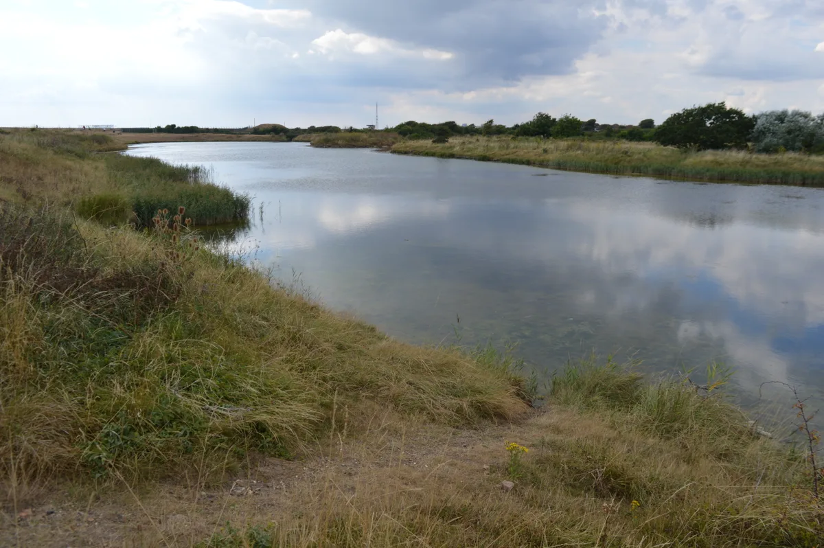
Gunners Park and Shoebury Ranges
Wildlife reserves · 0.6 km

Shoeburyness War Memorial
Memorials & monuments · 0.7 km

Shoeburyness
Museums · 0.7 km

Shoeburyness
Villages · 1.1 km

Manor House
Historic houses · 1.4 km
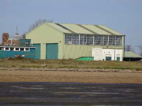
Pig's Bay
Mountains & hills · 1.7 km

Mulberry Harbour
Historic houses · 2.8 km

Great Wakering
Villages · 3.0 km

Southend Beach
Beaches · 3.1 km

Futures Community College
Natural landmarks · 3.4 km

Billy Hundreds Fish n Tapas
Restaurants · 3.8 km
Nearby
📷 5Museums · East of England
Cart and Wagon Shed
Cart and Wagon Shed — a museum in East of England, United Kingdom.
Flagship📷 10Wildlife reserves · East of England
Gunners Park and Shoebury Ranges
Gunners Park and Shoebury Ranges — Essex Wildlife Trust Nature reserve.
📷 5Memorials & monuments · East of England
Shoeburyness War Memorial
Shoeburyness War Memorial — Grade II listed building-listed memorial in england-south-east, United Kingdom.
📷 5Museums · East of England
Shoeburyness
Shoeburyness — a museum in england-south-east, United Kingdom.
📷 5📷 5Historic houses · East of England
Manor House
Manor House — historic building in Southend-on-Sea, Essex, England, United Kingdom.
Where to eat & stay near Danish Camp
Places to stay
 📷 5
📷 5Hotels · East of England
The Last Post
The Last Post — a hotel in england south east.
 📷 5
📷 5Caravan parks · South East England
Seabreeze Caravan Park
Seabreeze Caravan Park — a caravan park in england south east.
 📷 5
📷 5Caravan parks · South East England
CYC Coastal Club
CYC Coastal Club — a caravan park in england south east.
 📷 5
📷 5Campsites · East of England
Ark Lane Scout Campsite
Ark Lane Scout Campsite — a campsite in england south east.
 📷 5
📷 5Caravan parks · South East England
Sheerness Holiday Park
Sheerness Holiday Park — a caravan park in england south east.
 📷 5
📷 5Campsites · East of England
The Lake at Nine Acres
The Lake at Nine Acres — a campsite in england south east.
Places to eat & drink
📷 5Restaurants · East of England
Billy Hundreds Fish n Tapas
Billy Hundreds Fish n Tapas — a restaurant in england south east. Cuisine: seafood. 4.6-star.
 📷 5
📷 5Historic pubs · East of England
The Cherry Tree Public House
The Cherry Tree Public House in England South East, United Kingdom.
 📷 5
📷 5Historic pubs · East of England
Cottages And The Golden Lion Public House
Cottages And The Golden Lion Public House in England South East, United Kingdom.
 📷 7
📷 7Historic pubs · East of England
The Crooked Billet Public House
The Crooked Billet Public House in England South East, United Kingdom.
 📷 5
📷 5Historic pubs · East of England
Bell House Public House
Bell House Public House in England South East, United Kingdom.
 📷 5
📷 5Historic pubs · East of England
The George And Dragon Public House
The George And Dragon Public House in England East, United Kingdom.
More archaeological sites in this region
 Flagship📷 10
Archaeological sites · East of England
Nunn Wood
Nunn Wood — woods in Essex, England, a Site of Special Scientific Interest.
 📷 5
📷 5Archaeological sites · East of England
A Bronze Age post alignment and timber platform at Flag Fen and associated Bronze Age and later field systems and settlement to
A Bronze Age post alignment and timber platform at Flag Fen and associated Bronze Age and later field systems and settlement to — archaeological site in Thorney, City of Peterborough, England, UK.
 📷 5
📷 5Archaeological sites · East of England
Causewayed enclosure 900m west of Great Wilbraham parish church
Causewayed enclosure 900m west of Great Wilbraham parish church — archaeological site in Great Wilbraham, South Cambridgeshire, England, UK.
 📷 5
📷 5Archaeological sites · East of England
Dray's Ditches
Dray's Ditches — archaeological site in Streatley, Central Bedfordshire, England, UK.
Frequently asked questions
- Where is Danish Camp?
- Danish Camp is in East of England, United Kingdom (postcode SS3 9UJ), in the parish of Southend-on-Sea, unparished area.
- What is Danish Camp?
- Danish Camp — archaeological site in Southend-on-Sea, Essex, England, UK.
- How do I get to Danish Camp?
- The nearest railway station is Shoeburyness, about 0.6 km away. The nearest town is Southend-on-Sea. Drivers can use postcode SS3 9UJ.
- Is Danish Camp a listed building?
- Danish Camp is officially recognised as scheduled monument listed.
- Is Danish Camp a protected site?
- Yes — Danish Camp is part of the Foulness SSSI Site of Special Scientific Interest and the Foulness (Mid-Essex Coast Phase 5) Ramsar wetland.
- Is Danish Camp free to visit?
- Yes, Danish Camp is free to enter.
- How do I get to Danish Camp?
- The nearest railway station is Shoeburyness, about 0.6 km away. Drivers can navigate to postcode SS3 9UJ.