
Wildlife reserves · London
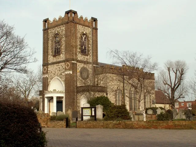
Dagenham Village Churchyard
In or near Havering-atte-Bower.
Dagenham Village Churchyard — church in London Borough of Barking and Dagenham, UK.

Wikimedia Commons contributors — see linked file page for photographer and licence licence

Plan your visit
- Typical visit
- 2 h–4 h
- Best time of year
- Autumn & winter (migration & wildfowl)
- Nearest railway station
- Dagenham East · 0.6 km
- Free entry
- Dog-friendly
Getting there & planning your visit
Dagenham Village Churchyard is located at postcode RM10 9UL and is accessible via the nearest railway station, Dagenham East, which is 0.6 km away. Entry to the churchyard is free.
About
Dagenham Village Churchyard is a wildlife reserve in the United Kingdom. Wikidata describes it as: "church in London Borough of Barking and Dagenham, UK". Coordinates: 51.5387°, 0.1614°.
Photo gallery
From the Wikipedia article
Dagenham Village Churchyard or St Peter and St Paul's Churchyard is a 0.88 hectare Local Nature Reserve in Dagenham in the London Borough of Barking and Dagenham. It is owned by the borough council. The church dates back to the early thirteenth century, and the graveyard has probably been in use for over 800 years. The churchyard contains the Commonwealth war graves of seventeen service personnel, nine from World War I and eight from World War II. It was closed to burials in the 1990s, and the church and the council then decided that it should be managed as a nature reserve. Its main importance for wildlife lies in its invertebrates, including butterflies and crickets, which provide food for bats. Woodpeckers feed on an avenue of lime trees, and a family of foxes live in the churchyard. Access is from Church Lane.
Excerpt from Wikipedia under CC BY-SA 4.0. See the source article linked in Sources below.
- Coordinates
- 51.5387, 0.1614
- District
- Barking and Dagenham
- Parish
- Barking and Dagenham, unparished area
- Postcode
- RM10 9UL
- Parliamentary constituency
- Dagenham and Rainham
- Nearest railway station
- Dagenham East — 0.6 km
Sources
- wikidata: Q15212532 (CC0)
- wikipedia: Dagenham Village Churchyard (CC BY-SA 4.0)
- commons: Dagenham Village Churchyard 6.JPG (CC BY-SA 4.0)
Other places nearby

Dagenham Village Churchyard
Forests & woodlands · 0.1 km
St. Peter and St. Paul, Dagenham
Historic churches · 0.1 km

Old Dagenham Village Memorial
Memorials & monuments · 0.1 km

Madina Foundation Dagenham East Islamic Centre
Historic churches · 0.8 km

Odeon Dagenham
Theatres · 1.0 km

Orchard Fruit
Public art & sculpture · 1.2 km

Dagenham
Chapels · 1.3 km

Beam Valley Country Park
Parks · 1.4 km

Eastbrook
Historic pubs · 1.4 km

Sir Tasker Watkins
Memorials & monuments · 1.4 km

Brian Spragg 1959-2015
Memorials & monuments · 1.5 km

Becontree
Chapels · 1.7 km
Nearby
📷 5Forests & woodlands · London
Dagenham Village Churchyard
Dagenham Village Churchyard is a forest or woodland in the United Kingdom.
📷 5Historic churches · London
St. Peter and St. Paul, Dagenham
St. Peter and St. Paul, Dagenham — church in Dagenham, London.
📷 5Memorials & monuments · London
Old Dagenham Village Memorial
Old Dagenham Village Memorial is a memorial in the United Kingdom.
📷 5Historic churches · London
Madina Foundation Dagenham East Islamic Centre
Madina Foundation Dagenham East Islamic Centre — a church in england-london, United Kingdom.
📷 5📷 5Public art & sculpture · London
Orchard Fruit
Orchard Fruit — a public art in england-london, United Kingdom.
Where to eat & stay near Dagenham Village Churchyard
Places to stay
 📷 5
📷 5 📷 5
📷 5Hotels · London
Devonshire Hotel
Devonshire Hotel — a hotel in england london.
 📷 5
📷 5Caravan parks · London
Abbey Wood Caravan Club Site
Abbey Wood Caravan Club Site — a caravan park in england london.
 📷 7
📷 7 📷 5
📷 5Campsites · London
Cherrywood Campsite
Cherrywood Campsite — a campsite in england london.
 📷 5
📷 5Places to eat & drink
📷 5 📷 7
📷 7 📷 5
📷 5 📷 7
📷 7Historic pubs · London
Denmark Arms
Denmark Arms in England London, United Kingdom.
 📷 7
📷 7 📷 7
📷 7More places in this region
 Flagship📷 10
Wildlife reserves · London
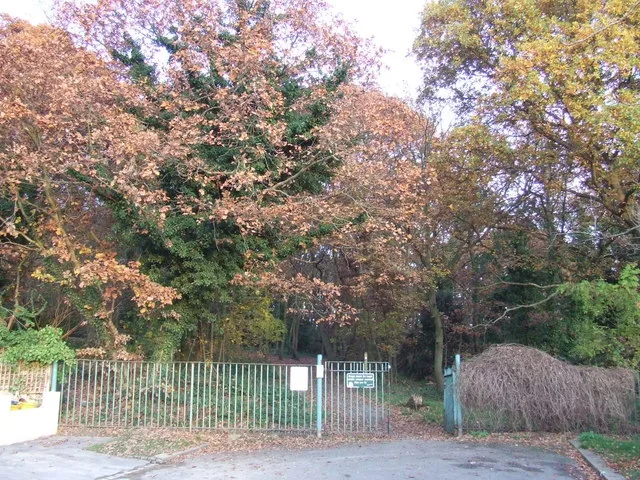
Bedfords Park
Bedfords Park — Havering London Borough green landscape, also an Essex Wildlife Trust Nature reserve.
 Flagship📷 10
 Flagship📷 10
Wildlife reserves · London
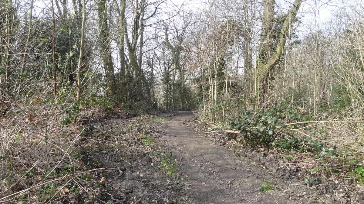
Bramley Bank
Bramley Bank — Nature reserve in Upper Shirley.
 Flagship📷 10
Wildlife reserves · London
Chafford Gorges Nature Park
Chafford Gorges Nature Park — Essex Wildlife Trust Nature reserve.
Frequently asked questions
- Where is Dagenham Village Churchyard?
- Dagenham Village Churchyard is in London, United Kingdom (postcode RM10 9UL), in the parish of Barking and Dagenham, unparished area.
- What is Dagenham Village Churchyard?
- Dagenham Village Churchyard — church in London Borough of Barking and Dagenham, UK.
- How do I get to Dagenham Village Churchyard?
- The nearest railway station is Dagenham East, about 0.6 km away. The nearest town is Havering-atte-Bower. Drivers can use postcode RM10 9UL.
- Is Dagenham Village Churchyard free to visit?
- Yes, Dagenham Village Churchyard is free to enter.
- How do I get to Dagenham Village Churchyard?
- The nearest railway station is Dagenham East, about 0.6 km away. Drivers can navigate to postcode RM10 9UL.
- Are dogs allowed at Dagenham Village Churchyard?
- Most wildlife reserves allow dogs on lead only, with restrictions during ground-nesting bird season (March-July). Check signage at the reserve.