Archaeological sites · Scottish Highlands
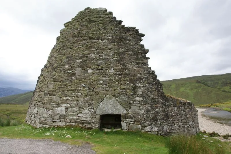
Dùn Dornaigil
Dùn Dornaigil — a archaeological site in scotland highlands.

Peter Wood — CC BY-SA 2.0 via Wikimedia Commons licence
Plan your visit
- Typical visit
- 45 min–1.5 h
About
Dùn Dornaigil is a named archaeological site in scotland highlands, recorded in the GeoNames UK gazetteer. British landmarks of this type are typically marked on Ordnance Survey maps and recorded in the national gazetteer for cartographic and navigational reference. Coordinates and feature classification are sourced from the GeoNames open dataset.
Photo gallery
Place summary
Dùn Dornaigil is an archaeological site located in the Scottish Highlands. This site features the remains of a brooch, a type of fortified settlement typical of the Iron Age. Visitors can explore the earthworks and learn about the historical significance of such structures in ancient Scottish society. The site offers insight into the region's archaeological heritage.
AI-generated from the structured facts on this page (operator, designation, listing, era). Not a substitute for visiting.
- Coordinates
- 58.3667, -4.6333
Sources
- manual: geonames-2650744 (CC BY 4.0)
Other places nearby
Loading nearby places…
Nearby
 📷 5
📷 5Hill forts · Scottish Highlands
Dun Dornaigil
Dun Dornaigil — tower in Highland, Scotland, UK.
 📷 4
📷 4Mountains & hills · Scottish Highlands
Strathmore
Strathmore in Scotland Islands, United Kingdom.
 📷 3
📷 3Memorials & monuments · Scottish Highlands
Stuart Paul Davies Memorial
Stuart Paul Davies Memorial — a memorial in scotland-highlands, United Kingdom.
 📷 5
📷 5Mountains & hills · Scottish Highlands
Creag na Lùibe Bàine
Creag na Lùibe Bàine — mountain in scotland highlands. Elevation: 262 m.
 📷 5
📷 5Mountains & hills · Scottish Highlands
Feinne-bheinn Mhor
Feinne-bheinn Mhor — a hill or mountain in scotland highlands.
📷 5Mountains & hills · Scottish Highlands
Feinne-bheinn Mhòr
Feinne-bheinn Mhòr — mountain in scotland highlands. Elevation: 465 m.
Where to eat & stay near Dùn Dornaigil
Places to stay
 📷 5
📷 5Caravan parks · Scottish Highlands
Choraidh Croft
Choraidh Croft — a caravan park in scotland highlands.
 📷 5
📷 5Campsites · Scottish Highlands
Altnaharra Caravan Club Site
Altnaharra Caravan Club Site — a campsite in scotland highlands.
 📷 5
📷 5Hostels · Scottish Highlands
Kyle of Tongue Hostel and Holiday Park
Kyle of Tongue Hostel and Holiday Park — a hostel in scotland highlands.
 📷 5
📷 5Hostels · Scottish Highlands
(Crask Inn)
(Crask Inn) — a hostel in scotland highlands.
 📷 5
📷 5Campsites · Scottish Islands
Bayview campsite
Bayview campsite — a campsite in scotland islands.
 📷 5
📷 5Hostels · Scottish Islands
Durness Youth Hostel
Durness Youth Hostel — a hostel in scotland islands.
More archaeological sites in this region
 📷 5
📷 5Archaeological sites · Scottish Highlands
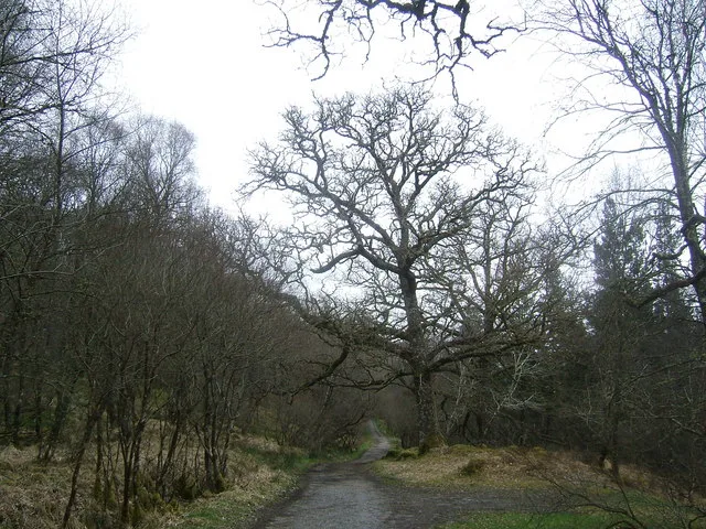
Ariundle Oakwood National Nature Reserve
Ariundle Oakwood National Nature Reserve — forested nature reserve in Highland, Scotland, UK.
 📷 3
📷 3Archaeological sites · Scottish Highlands
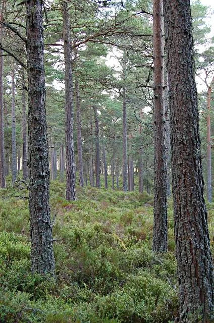
Abernethy Forest
Abernethy Forest — forest in Highland, Scotland, UK.
 📷 3
📷 3Archaeological sites · Scottish Highlands
Abriachan Forest
Abriachan Forest — Forest near Abriachan village in Scotland.
 📷 3
📷 3Archaeological sites · Scottish Highlands
Achnashellach Forest
Achnashellach Forest is a archaeological site in the United Kingdom.
Frequently asked questions
- Where is Dùn Dornaigil?
- Dùn Dornaigil is in the Scottish Highlands, United Kingdom.
- What is Dùn Dornaigil?
- Dùn Dornaigil — a archaeological site in scotland highlands.
- How do I get to Dùn Dornaigil?
- Its coordinates are 58.3667°, -4.6333°.