
Historic houses · North West England
Crompton Hall
In or near Calderbrook.
Crompton Hall — historic house in Crompton, Lancashire, England.

Wikimedia Commons contributors — see linked file page for photographer and licence licence

Plan your visit
- Typical visit
- 1 h–2 h
- Nearest railway station
- Rochdale · 5.6 km
- Family-friendly
- Limited wheelchair access
Getting there & planning your visit
Crompton Hall is located in Oldham, with the postcode OL2 8FN. The nearest railway station is Rochdale, which is 5.6 km away. Entry is not specified as free or paid, and wheelchair accessibility is limited.
About
Crompton Hall is a historic house in the United Kingdom — typically a country seat, manor, or town house with notable architecture or history. Wikidata describes it as: "historic house in Crompton, Lancashire, England". Coordinates: 53.5858°, -2.0792°.
Photo gallery
Protected designations
- Site of Special Scientific Interest: South Pennine Moors SSSI
Designations sourced from Natural England open data under OGL v3.
From the Wikipedia article
Crompton Hall was an historic house situated at Crompton Fold in the township of Crompton, Lancashire, and within the historic parish of Prestwich-cum-Oldham. Crompton Hall was in the township for hundreds of years. The hall has two known stages, the first being a medieval one, of which the manor existed at least as early as 1442 to provide for Norman conquest settlers, the second was a 19th-century phase, built in c.1848 with much more splendour, and reflected the Crompton's increased affluence much due to the Industrial Revolution which took place in the town. Crompton Hall was demolished in 1952, but much of its forested gardens still remain today. The location of the demolished house, by then within the suburbs of Greater Manchester, was "Buckstones Road, Shaw, Greater Manchester".
Excerpt from Wikipedia under CC BY-SA 4.0. See the source article linked in Sources below.
Background
History
The Crompton family has a well documented history. Crompton first appears as a family name when the De La Legh family (settlers from the Norman Conquest) changed their name to indicate the Anglo-Saxon township they had obtained and settled in during the 13th century. The family were prosperous landowners of the area, from their initial medieval acquisition, through to the early 20th century. The Crompton family owned a large house by the name of Crompton Hall which first appears in historical records as early as 1442 and owned by Thomas de Crompton and his family. Sir Winston Churchill once stayed at Crompton Hall and he had written letters describing how peaceful and tranquil the area was.
Sourced from Wikipedia under CC BY-SA 4.0.
- Coordinates
- 53.5858, -2.0792
- District
- Oldham
- Parish
- Shaw and Crompton
- Postcode
- OL2 8FN
- Parliamentary constituency
- Oldham East and Saddleworth
- Nearest railway station
- Rochdale — 5.6 km
Sources
- wikidata: Q5187642 (CC0)
- wikipedia: Crompton Hall (CC BY-SA 4.0)
- commons: CromptonHall Prestwich-cum-Oldham Lancashire.png (CC BY-SA 4.0)
Other places nearby

Crompton Waterfall
Natural landmarks · 0.4 km

Crompton Waterfall
Waterfalls · 0.4 km

Dog Hill Scout Campsite
Campsites · 0.7 km
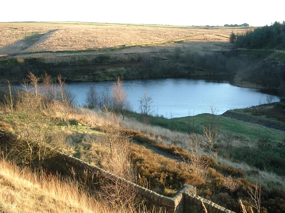
Brushes Clough Reservoir
Reservoirs & lochs · 0.7 km
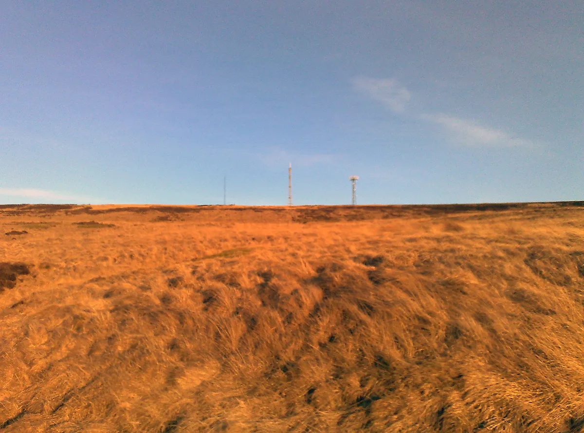
Crompton Moor
Natural landmarks · 1.3 km

Shaw and Crompton
Castles · 1.3 km

Shaw, Greater Manchester
Historic churches · 1.3 km

Playhouse 2
Theatres · 1.4 km
Playhouse 2 Theatre
Theatres · 1.4 km

Newhey
Villages · 1.6 km

Crompton War Memorial
Memorials & monuments · 1.6 km

Crompton Moor
Mountains & hills · 1.9 km
Nearby
📷 3Natural landmarks · North West England
Crompton Waterfall
Crompton Waterfall — a place in North West England, United Kingdom.
📷 5Waterfalls · North West England
Crompton Waterfall
Crompton Waterfall — waterfall in england north west.
📷 5Campsites · North West England
Dog Hill Scout Campsite
Dog Hill Scout Campsite — a campsite in england north west.
📷 3Reservoirs & lochs · North West England
Brushes Clough Reservoir
Brushes Clough Reservoir — reservoir in Greater Manchester, England, UK.
📷 4Natural landmarks · North West England
Crompton Moor
Crompton Moor — mountain in the United Kingdom.
📷 5Castles · North West England
Shaw and Crompton
Shaw and Crompton — a castle in england-north-west, United Kingdom.
Where to eat & stay near Crompton Hall
Places to stay
📷 5Campsites · North West England
Dog Hill Scout Campsite
Dog Hill Scout Campsite — a campsite in england north west.
 📷 5
📷 5Caravan parks · North West England
The Moorlands
The Moorlands — a caravan park in england north west.
 📷 5
📷 5Caravan parks · North West England
Hollingworth Lake Caravan park
Hollingworth Lake Caravan park — a caravan park in england north west.
 📷 5
📷 5Caravan parks · North West England
Roch Vale Caravan Park
Roch Vale Caravan Park — a caravan park in england north west.
 📷 5
📷 5Hotels · North West England
Broadfield Park Hotel
Broadfield Park Hotel — a hotel in england north west.
 📷 5
📷 5Hotels · North West England
Norton Grange Hotel
Norton Grange Hotel — a hotel in england north west.
Places to eat & drink
 📷 7
📷 7 📷 5
📷 5 📷 7
📷 7Historic pubs · North West England
The Baum
The Baum in England North West, United Kingdom.
 📷 5
📷 5Historic pubs · North West England
Colliers Arms Public House
Colliers Arms Public House in England North West, United Kingdom.
 📷 5
📷 5Historic pubs · North West England
Ye Olde Boars Head Public House
Ye Olde Boars Head Public House in England North West, United Kingdom.
 📷 5
📷 5More historic houses in this region
 📷 3
📷 3Historic houses · North West England
116 Hospital Street, Nantwich
116 Hospital Street, Nantwich — substantial townhouse in Nantwich, Cheshire, England, UK.
 📷 3
📷 3Historic houses · North West England
140–142 Hospital Street, Nantwich
140–142 Hospital Street, Nantwich — grade II listed building in Nantwich, Cheshire East, Cheshire, England, UK.
 📷 3
📷 3Historic houses · North West England
46 High Street, Nantwich
46 High Street, Nantwich — house in Nantwich, Cheshire, England, UK.
 📷 3
📷 3Historic houses · North West England
64, St Ann's Road
64, St Ann's Road — Grade II* listed house in Middlewich, Cheshire East, England, UK.
Frequently asked questions
- Where is Crompton Hall?
- Crompton Hall is in North-West England, United Kingdom (postcode OL2 8FN), in the parish of Shaw and Crompton.
- What is Crompton Hall?
- Crompton Hall — historic house in Crompton, Lancashire, England.
- How do I get to Crompton Hall?
- The nearest railway station is Rochdale, about 5.6 km away. The nearest town is Calderbrook. Drivers can use postcode OL2 8FN.
- Is Crompton Hall a protected site?
- Yes — Crompton Hall is part of the South Pennine Moors SSSI Site of Special Scientific Interest.
- How do I get to Crompton Hall?
- The nearest railway station is Rochdale, about 5.6 km away. Drivers can navigate to postcode OL2 8FN.