Mountains & hills · Northern Ireland
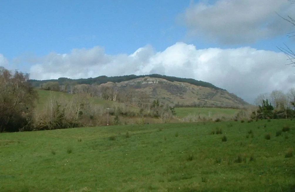
Crocknamoghil
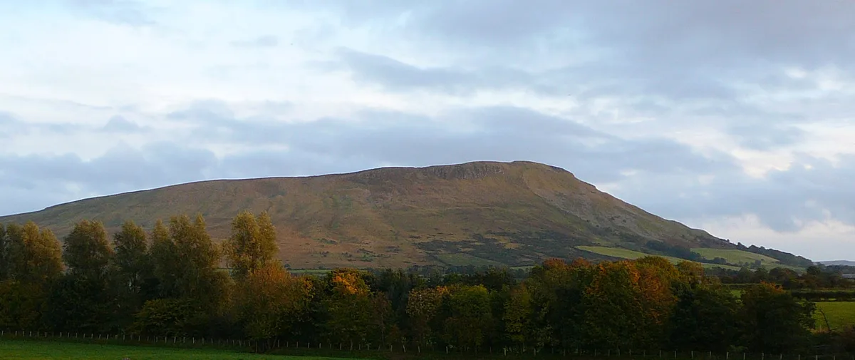
Crocknamoghil — mountain in northern ireland. Elevation: 335 m.

Kenneth Allen — CC BY-SA 2.0 via Wikimedia Commons licence
Plan your visit
- Typical visit
- 3 h–8 h
- Best time of year
- Late spring – early autumn (May–Oct)
About
Crocknamoghil is a mountain located in northern ireland. Elevation: 335 m. A named British peak recorded in OpenStreetMap. Peaks are typically named on Ordnance Survey 1:50k mapping.
Photo gallery
- Coordinates
- 54.7106, -7.1025
Sources
- osm: n332373497 (ODbL)
Other places nearby
Loading nearby places…
Nearby
📷 5Mountains & hills · Northern Ireland
Cnoc na mBuachall
Cnoc na mBuachall — a hill or mountain in northern ireland.
 📷 5
📷 5Villages · Northern Ireland
Irish Town
Irish Town — a village in northern ireland.
 📷 5
📷 5Villages · Northern Ireland
Greencastle
Greencastle — a village in northern ireland.
 📷 3
📷 3Historic churches · Northern Ireland
St Patrick's, Greencastle GAC
St Patrick's, Greencastle GAC in Northern Ireland, United Kingdom.
 📷 4
📷 4Natural landmarks · Northern Ireland
Rousky
Rousky in Northern Ireland, United Kingdom.
 📷 4
📷 4Natural landmarks · Northern Ireland
Strabane Upper
Strabane Upper in Northern Ireland, United Kingdom.
Where to eat & stay near Crocknamoghil

More mountains in this region
 📷 5
📷 5Mountains & hills · Northern Ireland
Belfast Lough
Belfast Lough — intertidal inlet in Northern Ireland.
 📷 5
📷 5Mountains & hills · Northern Ireland
Belmore Mountain
Belmore Mountain — Named summit at 398 m.
 📷 4
📷 4Mountains & hills · Northern Ireland
Ben Crom
Ben Crom — Named summit at 526 m.
 📷 3
📷 3Mountains & hills · Northern Ireland
Benbradagh
Benbradagh — Named summit at 465 m.
Frequently asked questions
- Where is Crocknamoghil?
- Crocknamoghil is in Northern Ireland, United Kingdom.
- What is Crocknamoghil?
- Crocknamoghil — mountain in northern ireland. Elevation: 335 m.
- How do I get to Crocknamoghil?
- Its coordinates are 54.7106°, -7.1025°.