Hill forts · Mid Wales
Creuddyn
Also known as: Creuddyn (Ceredigion)
In or near Llanilar.
Creuddyn in Wales Mid, United Kingdom.

David Smith — CC BY-SA 2.0 via Wikimedia Commons licence
Plan your visit
- Typical visit
- 1 h–2 h
- Nearest railway station
- Nantyronen · 1.7 km
- Free entry
- Dog-friendly
Getting there & planning your visit
Creuddyn is located in Mid Wales, with the nearest railway station being Nantyronen, approximately 1.7 km away. The postcode for navigation is SY23 4EH, and entry to the hill-fort is free.
About
Creuddyn is a place of interest in Wales Mid, United Kingdom — drawn from open-data sources for visitor reference. See the linked Wikipedia article for the full description.
Photo gallery
From the Wikipedia article
Creuddyn was a medieval commote (cwmwd) and, later, a lordship in Ceredigion, Wales. It was located between the rivers Ystwyth and Rheidol, and was one of the three commotes of Cantref Penweddig. The name, of Old Welsh origin, probably refers to the Pen Dinas hill fort, anciently known as Dinas Maelor. The natural centre of the commote was Llanfihangel y Creuddyn where five roads meet at the village. The name survives in the name of a rural community and church of the same name; however the modern community is much smaller than the medieval commote.
Excerpt from Wikipedia under CC BY-SA 4.0. See the source article linked in Sources below.
Background
History
Several princes of Deheubarth ruled in medieval Kingdom of Ceredigion, including Creuddyn. Rhys ap Gruffydd's grandson Maelgwn Fychan (died 1257) battled for control of the area; Gwenllian (died 1254) died at Llanfihangel-y-Creuddyn. Either Maelgwn or his grandsons Llywelyn or Rhys may have been responsible for building the large 13th-century church which still stands today.
Sourced from Wikipedia under CC BY-SA 4.0.
- Coordinates
- 52.3720, -3.9623
- District
- Ceredigion
- Parish
- Trawsgoed
- Postcode
- SY23 4EH
- Parliamentary constituency
- Ceredigion Preseli
- Nearest railway station
- Nantyronen — 1.7 km
Sources
- wikidata: Q5184750 (CC0)
- wikipedia: Creuddyn, Ceredigion (CC BY-SA 4.0)
Other places nearby

Llanfihangel y Creuddyn
Other places · 0.2 km

Melin Ucheldre
Watermills · 0.7 km

Allt Goch
Mountains & hills · 0.9 km
Llanfihangel-y-creuddyn
Villages · 1.0 km

Derwen Bedwen
Historic houses · 1.2 km

Banc-y-môr
Other places · 1.3 km

Pisgah
Mountains & hills · 1.7 km
Vale of Rheidol Railway
Heritage railways · 1.7 km

Nantyronen railway station
Heritage railway stations · 1.8 km

Pant-y-crug
Other places · 2.1 km

Tŷ'n y Fron
Historic houses · 2.2 km

River Rheidol
Natural landmarks · 2.2 km
Nearby
📷 4Other places · Mid Wales
Llanfihangel y Creuddyn
Llanfihangel y Creuddyn in Wales Mid, United Kingdom.
📷 5📷 5📷 5📷 3Historic houses · Mid Wales
Derwen Bedwen
Derwen Bedwen — a historic house in wales-mid, United Kingdom.
📷 3Where to eat & stay near Creuddyn
Places to stay
 📷 5
📷 5Caravan parks · Mid Wales
Maes Bangor Caravan Park
Maes Bangor Caravan Park — a caravan park in wales mid.
 📷 5
📷 5 📷 5
📷 5 📷 5
📷 5 📷 7
📷 7 📷 5
📷 5Caravan parks · Mid Wales
Woodlands Caravan Park Devils Bridge
Woodlands Caravan Park Devils Bridge — a caravan park in wales mid.
Places to eat & drink
 📷 5
📷 5Cafés · Mid Wales
Llywernog Silver Lead Mine
Llywernog Silver Lead Mine — a café in wales mid.
 📷 5
📷 5 📷 4
📷 4 📷 7
📷 7 📷 3
📷 3Historic pubs · Mid Wales
The Commercial Inn
The Commercial Inn — Historic pub — listed building or notable heritage status.
 📷 3
📷 3Historic pubs · Mid Wales
Black Lion
Black Lion — Historic pub — listed building or notable heritage status.
More places in this region
 📷 3
📷 3Hill forts · Mid Wales
Ffridd Fechan Hillfort
Ffridd Fechan Hillfort — a hill fort in wales-north, United Kingdom.
 📷 5
📷 5Hill forts · Mid Wales
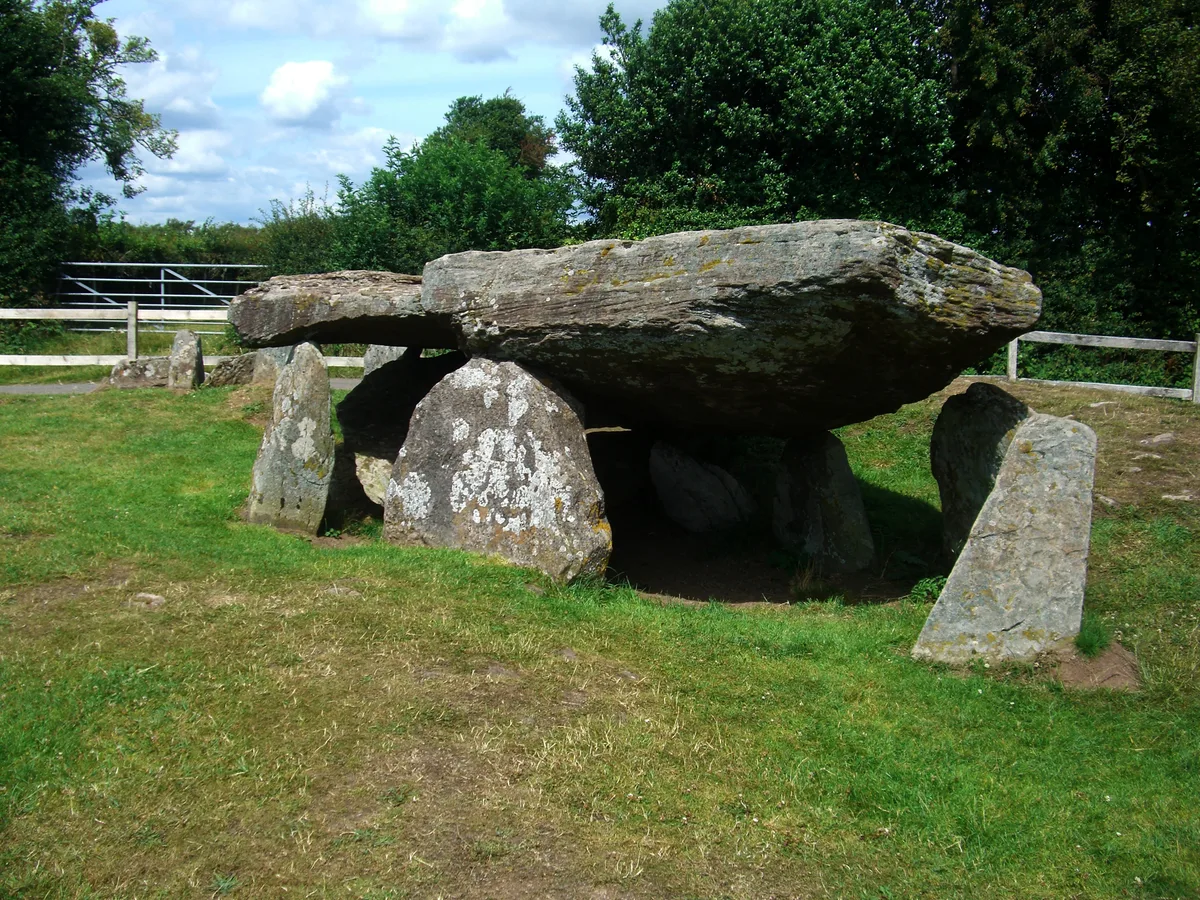
Arthur's Stone, Herefordshire
Arthur's Stone, Herefordshire is a hill fort in the United Kingdom.
 📷 3
📷 3 📷 3
📷 3Frequently asked questions
- Where is Creuddyn?
- Creuddyn is in Mid Wales, United Kingdom (postcode SY23 4EH), in the parish of Trawsgoed.
- What is Creuddyn?
- Creuddyn in Wales Mid, United Kingdom.
- How do I get to Creuddyn?
- The nearest railway station is Nantyronen, about 1.7 km away. Drivers can use postcode SY23 4EH.
- Is Creuddyn free to visit?
- Yes, Creuddyn is free to enter.
- How do I get to Creuddyn?
- The nearest railway station is Nantyronen, about 1.7 km away. Drivers can navigate to postcode SY23 4EH.