
Museums · South East England
Crawley
In or near Pease Pottage.
Crawley () is a large town and borough in West Sussex, England. It is 28 miles (45 km) south of London, 18 miles (29 km) north of Brighton and Hove, and 32 miles (51 km) north-east of the county town

Roger Templeman — CC BY-SA 2.0 via Wikimedia Commons licence

Plan your visit
- Typical visit
- 1.5 h–3 h
- Best time of year
- Year-round
- Nearest railway station
- Crawley · 0.3 km
- Free entry
- Family-friendly
- Limited wheelchair access
Getting there & planning your visit
To visit Crawley museum, the nearest railway station is Crawley, located 0.3 km away. The postcode for sat-nav is RH10 6GA. Please note that wheelchair accessibility is limited.
About
Crawley () is a large town and borough in West Sussex, England. It is 28 miles (45 km) south of London, 18 miles (29 km) north of Brighton and Hove, and 32 miles (51 km) north-east of the county town of Chichester. Crawley covers an area of 17.36 square miles (44.96 km2) and had a population of 118,493 at the time of the 2021 Census. Southern parts of the borough lie immediately next to the High Weald National Landscape. The area has been inhabited since the Stone Age, and was a centre of ironworking in the Iron Age and Roman times. The area was probably used by the kings of Sussex for hunting. Initially a clearing in the vast forest of the Weald, Crawley began as a settlement on the boundary of two of the sub-regions particular to Sussex, known as Rapes, the Rape of Bramber and the Rape of Lewes. Becoming a market town in 1202, Crawley developed slowly, serving the surrounding villages in the Weald. In the medieval period, its location on the main road from London to the port of Shoreham helped the town to grow; and when Brighton became a fashionable seaside town in the 18th century, the passing trade encouraged the development of coaching inns. A rail link to London and Brighton opened in 1841, encouraging further development. After World War II, the British Government planned to move large numbers of people and jobs out of London and into new towns around South East England. The New Towns Act 1946 (9 & 10 Geo. 6. c. 68) designated Crawley as the site of one of these. A mas
Photo gallery
Summary from the official site
Crawley is a town in West Sussex, known for its parks and community spaces. Visitors can explore local attractions, participate in community events, and enjoy recreational facilities.
Read more on the official property page.
Protected designations
- Area of Outstanding Natural Beauty: High Weald
- Area of Outstanding Natural Beauty: Surrey Hills
Designations sourced from Natural England open data under OGL v3.
From the Wikipedia article
Crawley () is a large town and borough in West Sussex, England. It is 28 miles (45 km) south of London, 18 miles (29 km) north of Brighton and Hove, and 32 miles (51 km) north-east of the county town of Chichester. Crawley covers an area of 17.36 square miles (44.96 km2) and had a population of 118,493 at the time of the 2021 Census. Southern parts of the borough lie immediately next to the High Weald National Landscape. The area has been inhabited since the Stone Age, and was a centre of ironworking in the Iron Age and Roman times. The area was probably used by the kings of Sussex for hunting. Initially a clearing in the vast forest of the Weald, Crawley began as a settlement on the boundary of two of the sub-regions particular to Sussex, known as Rapes, the Rape of Bramber and the Rape of Lewes. Becoming a market town in 1202, Crawley developed slowly, serving the surrounding villages in the Weald. In the medieval period, its location on the main road from London to the port of Shoreham helped the town to grow; and when Brighton became a fashionable seaside town in the 18th century, the passing trade encouraged the development of coaching inns. A rail link to London and Brighton opened in 1841, encouraging further development. After World War II, the British Government planned to move large numbers of people and jobs out of London and into new towns around South East England. The New Towns Act 1946 (9 & 10 Geo. 6. c. 68) designated Crawley as the site of one of these. A master plan was developed for the establishment of new residential, commercial, industrial and civic areas, and rapid development greatly increased the size and population of the town over a few decades. The town expanded further in 1974 to include Gatwick Airport, Britain's second busiest international airport and, in 2024, the tenth busiest in Europe. The town contains 14 residential neighbourhoods radiating out from the core of the old market town, and separated by main roads and railway lines.
Excerpt from Wikipedia under CC BY-SA 4.0. See the source article linked in Sources below.
Background
History
The area may have been settled during the Mesolithic period: locally manufactured flints of the Horsham Culture type have been found to the southwest of the town. Crawley is on the western edge of the High Weald, which produced iron for more than 2,000 years from the Iron Age onwards. Goffs Park—now a recreational area in the south of the town—was the site of two late Iron Age furnaces. Ironworking and mineral extraction continued throughout Roman times, particularly in the Broadfield area where many furnaces were built. from the southeast]] Passing through the north of the modern borough, the historic Sussex–Surrey border follows ridges and a trackway, in contrast to the Sussex–Kent border…
Sourced from Wikipedia under CC BY-SA 4.0.
- Coordinates
- 51.1092, -0.1872
- County
- West Sussex
- District
- Crawley
- Parish
- Crawley, unparished area
- Postcode
- RH10 6GA
- Parliamentary constituency
- Crawley
- Nearest railway station
- Crawley — 0.3 km
- Official site
- crawley.gov.uk
Sources
- wikipedia: Crawley (CC BY-SA 4.0)
Other places nearby

Friary Church of St Francis and St Anthony, Crawley
Historic churches · 0.5 km
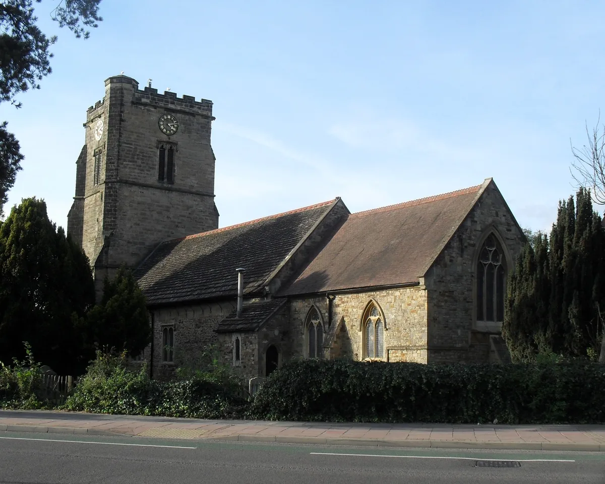
St John the Baptist's Church, Crawley
Historic churches · 0.5 km

The Golden Tree
Public art & sculpture · 0.6 km

White Hart Inn
Historic pubs · 0.7 km

Crawley Sikh Temple
Historic churches · 0.7 km

Brewery Shades
Historic houses · 0.7 km

Old Punch Bowl
Historic pubs · 0.8 km

Curzon at the Hawth
Theatres · 0.8 km
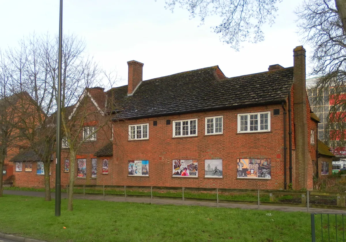
Tree House
Stately homes · 0.9 km

Crawley Museum
Museums · 0.9 km

Central Sussex College
Natural landmarks · 0.9 km
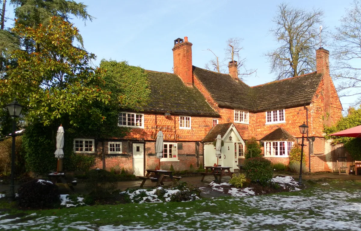
Goffs Manor
Stately homes · 0.9 km
Nearby
📷 5Historic churches · South East England
Friary Church of St Francis and St Anthony, Crawley
Friary Church of St Francis and St Anthony, Crawley — church in Crawley, West Sussex, England, UK.
📷 5Historic churches · South East England
St John the Baptist's Church, Crawley
St John the Baptist's Church, Crawley — church in Crawley, West Sussex, England, UK.
📷 5Public art & sculpture · South East England
The Golden Tree
The Golden Tree in England South East, United Kingdom.
📷 5Historic pubs · South East England
White Hart Inn
White Hart Inn in England South East, United Kingdom.
📷 5Historic churches · South East England
Crawley Sikh Temple
Crawley Sikh Temple — a church in england-south-east, United Kingdom.
📷 5Historic houses · South East England
Brewery Shades
Brewery Shades — a Grade II-listed historic house in england-south-east, United Kingdom.
Where to eat & stay near Crawley
Places to stay
 📷 5
📷 5Campsites · South East England
Stanford (Scout Campsite)
Stanford (Scout Campsite) — a campsite in england south east.
 📷 5
📷 5Hotels · South East England
Trivelles Gatwick Hotel
Trivelles Gatwick Hotel — a hotel in england south east. 4-star. Brand: Trivelles.
 📷 5
📷 5Campsites · South East England
Embers
Embers — a campsite in england south east.
 📷 5
📷 5Campsites · South East England
Beacon Hill Scout Campsite
Beacon Hill Scout Campsite — a campsite in england south east.
 📷 5
📷 5Hotels · South East England
Hilton London Gatwick Airport
Hilton London Gatwick Airport — a hotel in england south east. 4-star. Brand: Hilton.
 📷 5
📷 5Places to eat & drink
📷 5Historic pubs · South East England
White Hart Inn
White Hart Inn in England South East, United Kingdom.
📷 5Historic pubs · South East England
Old Punch Bowl
Old Punch Bowl in England South East, United Kingdom.
 📷 5
📷 5 📷 5
📷 5Historic pubs · South East England
The Jolly Tanners Public House
The Jolly Tanners Public House in England South East, United Kingdom.
 📷 5
📷 5Restaurants · South East England
Mekong House
Mekong House — a restaurant in england south east.
 📷 7
📷 7More museums in this region
 📷 5
📷 5Museums · South East England
Coldrum Long Barrow
Coldrum Long Barrow — neolithic chambered long barrow near Trottiscliffe, Kent, England, UK.
 📷 5
📷 5Museums · South East England
Guildford House
Guildford House — house in Guildford, Surrey, England, UK.
 📷 5
📷 5Museums · South East England
Huguenot Museum
Huguenot Museum — museum in Rochester, England, UK.
 📷 5
📷 5Museums · South East England
Medway megaliths
Medway megaliths — group of long barrows in Kent, England.
Frequently asked questions
- Where is Crawley?
- Crawley is in West Sussex, South-East England, United Kingdom (postcode RH10 6GA), in the parish of Crawley, unparished area.
- What is Crawley?
- Crawley () is a large town and borough in West Sussex, England. It is 28 miles (45 km) south of London, 18 miles (29 km) north of Brighton and Hove, and 32 miles (51 km) north-east of the county town
- How do I get to Crawley?
- The nearest railway station is Crawley, about 0.3 km away. The nearest town is Pease Pottage. Drivers can use postcode RH10 6GA.
- Who owns Crawley?
- Crawley is owned by Crawley Borough Council.
- Is Crawley a protected site?
- Yes — Crawley is part of the High Weald National Landscape (AONB) and the Surrey Hills National Landscape (AONB).
- Is Crawley free to visit?
- Yes, Crawley is free to enter.
- How do I get to Crawley?
- The nearest railway station is Crawley, about 0.3 km away. Drivers can navigate to postcode RH10 6GA.