Mountains & hills · Scottish Lowlands
Craiglee
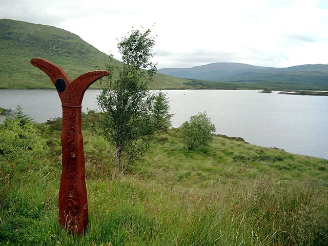
Craiglee — a hill or mountain in scotland lowlands.

Alan O'Dowd — CC BY-SA 2.0 via Wikimedia Commons licence
Plan your visit
- Typical visit
- 3 h–8 h
- Best time of year
- Late spring – early autumn (May–Oct)
About
A British hill or mountain, named on Ordnance Survey maps and walked by hill-baggers. Craiglee is a named hill or mountain in scotland lowlands, recorded in the GeoNames UK gazetteer. British landmarks of this type are typically marked on Ordnance Survey maps and recorded in the national gazetteer for cartographic and navigational reference. Coordinates and feature classification are sourced from the GeoNames open dataset.
Photo gallery
Place summary
Craiglee is a mountain located in the Scottish Lowlands. It is known for its rugged terrain and offers a range of walking trails suitable for various skill levels. The area is characterised by its natural beauty, making it a popular destination for hikers and outdoor enthusiasts. Visitors can expect a challenging yet rewarding experience amidst the scenic landscapes of the region.
AI-generated from the structured facts on this page (operator, designation, listing, era). Not a substitute for visiting.
- Coordinates
- 55.0917, -4.4121
Sources
- manual: geonames-12607970 (CC BY 4.0)
Other places nearby
Loading nearby places…
Nearby
📷 5Mountains & hills · Scottish Lowlands
Craiglee
Craiglee — mountain in scotland lowlands. Elevation: 531 m.
 📷 2
📷 2Natural landmarks · Scottish Lowlands
Loch Dee
Loch Dee — lake in Dumfries and Galloway, Scotland, UK, outflows north-east to the River Dee.
 📷 5
📷 5Lakes · Scottish Lowlands
Loch Valley
Loch Valley — a lake in scotland lowlands.
📷 5Lakes · Scottish Lowlands
Loch Neldricken
Loch Neldricken — a lake in scotland lowlands.
 📷 3
📷 3Public art & sculpture · Scottish Lowlands
Giant Axe Head
Giant Axe Head — a public art in scotland-lowlands, United Kingdom.
 📷 3
📷 3Natural landmarks · Scottish Lowlands
Loch Valley
Loch Valley — lake in Dumfries and Galloway, Scotland, UK, outflows via Gairland and Glenhead Burns to Loch Trool.
Where to eat & stay near Craiglee
Places to stay
 📷 5
📷 5Campsites · Scottish Lowlands
Glentrool Camping & Caravan Site
Glentrool Camping & Caravan Site — a campsite in scotland lowlands.
 📷 5
📷 5Campsites · Scottish Lowlands
Otter Pool "Stay the night"
Otter Pool "Stay the night" — a campsite in scotland lowlands.
 📷 5
📷 5Hostels · Scottish Lowlands
Minigaff Youth Hostel
Minigaff Youth Hostel — a hostel in scotland lowlands.
 📷 5
📷 5Hotels · Scottish Lowlands
Cree Bridge House Hotel
Cree Bridge House Hotel — a hotel in scotland lowlands.
 📷 5
📷 5Campsites · Scottish Lowlands
Creebridge Caravan Park
Creebridge Caravan Park — a campsite in scotland lowlands.
 📷 5
📷 5Caravan parks · Scottish Lowlands
Loch Doon Caravan Park
Loch Doon Caravan Park — a caravan park in scotland lowlands.
Places to eat & drink


_-_geograph.org.uk_-_3543326.jpg)
More mountains in this region
 📷 3
📷 3Mountains & hills · Scottish Lowlands
Andrewhinney Hill
Andrewhinney Hill — Named summit at 677 m.
 📷 3
📷 3Mountains & hills · Scottish Lowlands
Arbory Hill
Arbory Hill — Named summit at 429 m.
 📷 3
📷 3Mountains & hills · Scottish Lowlands
Auchenton Hill ( East Mount Lowther)
Auchenton Hill ( East Mount Lowther) — Named summit at 631 m.
 📷 3
📷 3Mountains & hills · Scottish Lowlands
Bakestall
Bakestall — Named summit at 673.5 m.
Frequently asked questions
- Where is Craiglee?
- Craiglee is in the Scottish Lowlands, United Kingdom.
- What is Craiglee?
- Craiglee — a hill or mountain in scotland lowlands.
- How do I get to Craiglee?
- Its coordinates are 55.0917°, -4.4121°.