Mountains & hills · Scottish Lowlands
Craiglee
Craiglee — mountain in scotland lowlands. Elevation: 525 m.

Raibeart MacAoidh — CC BY-SA 2.0 via Wikimedia Commons licence
Plan your visit
- Typical visit
- 3 h–8 h
- Best time of year
- Late spring – early autumn (May–Oct)
About
Craiglee is a mountain located in scotland lowlands. Elevation: 525 m. A named British peak recorded in OpenStreetMap. Peaks are typically named on Ordnance Survey 1:50k mapping.
Photo gallery
Place summary
Craiglee is a mountain located in the Scottish Lowlands. It features rugged terrain and offers various walking trails for outdoor enthusiasts. The area is characterised by its natural beauty and provides opportunities for hiking and exploring the surrounding landscape. Visitors can expect a remote setting ideal for enjoying the outdoors.
AI-generated from the structured facts on this page (operator, designation, listing, era). Not a substitute for visiting.
- Coordinates
- 55.2367, -4.4068
Sources
- osm: n338103357 (ODbL)
Other places nearby
Loading nearby places…
Nearby
📷 5Mountains & hills · Scottish Lowlands
Craiglee
Craiglee — a hill or mountain in scotland lowlands.
 📷 5
📷 5Lakes · Scottish Lowlands
Loch Finlas
Loch Finlas — a lake in scotland lowlands.
 📷 5
📷 5Mountains & hills · Scottish Lowlands
Wee Hill of Craigmulloch
Wee Hill of Craigmulloch — a hill or mountain in scotland lowlands.
📷 5Mountains & hills · Scottish Lowlands
Wee Hill of Craigmulloch
Wee Hill of Craigmulloch — mountain in scotland lowlands. Elevation: 421 m.
 📷 3
📷 3Castles · Scottish Lowlands
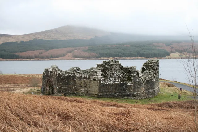
Loch Doon Castle
Loch Doon Castle — castle in Dumfries and Galloway, Scotland, UK.
 📷 5
📷 5Mountains & hills · Scottish Lowlands
Lombdoughty
Lombdoughty — mountain in scotland lowlands. Elevation: 308 m.
Where to eat & stay near Craiglee
Places to stay
 📷 5
📷 5Caravan parks · Scottish Lowlands
Loch Doon Caravan Park
Loch Doon Caravan Park — a caravan park in scotland lowlands.
 📷 5
📷 5Campsites · Scottish Lowlands
Glentrool Camping & Caravan Site
Glentrool Camping & Caravan Site — a campsite in scotland lowlands.
 📷 5
📷 5Caravan parks · Scottish Lowlands
The Ranch
The Ranch — a caravan park in scotland lowlands.
Places to eat & drink
 📷 5
📷 5Historic pubs · Scottish Lowlands
Doon Tavern, High Street, Dalmellington
Doon Tavern, High Street, Dalmellington in Scotland Lowlands, United Kingdom.
 📷 5
📷 5Historic pubs · Scottish Lowlands
The White House and Adjoining Joiner's Shop, Kirkmichael Arms, Straiton Road, Kirkmichael
The White House and Adjoining Joiner's Shop, Kirkmichael Arms, Straiton Road, Kirkmichael in Scotland Lowlands, United Kingdom.
More mountains in this region
 📷 3
📷 3Mountains & hills · Scottish Lowlands
Andrewhinney Hill
Andrewhinney Hill — Named summit at 677 m.
 📷 3
📷 3Mountains & hills · Scottish Lowlands
Arbory Hill
Arbory Hill — Named summit at 429 m.
 📷 3
📷 3Mountains & hills · Scottish Lowlands
Auchenton Hill ( East Mount Lowther)
Auchenton Hill ( East Mount Lowther) — Named summit at 631 m.
 📷 3
📷 3Mountains & hills · Scottish Lowlands
Bakestall
Bakestall — Named summit at 673.5 m.
Frequently asked questions
- Where is Craiglee?
- Craiglee is in the Scottish Lowlands, United Kingdom.
- What is Craiglee?
- Craiglee — mountain in scotland lowlands. Elevation: 525 m.
- How do I get to Craiglee?
- Its coordinates are 55.2367°, -4.4068°.