Mountains & hills · Scottish Highlands
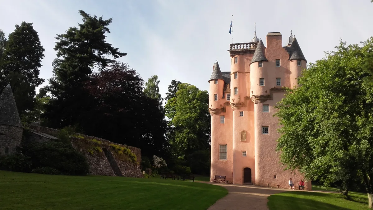
Craigievar Hill
Craigievar Hill — a hill or mountain in scotland highlands.

Ralph Greig — CC BY-SA 2.0 via Wikimedia Commons licence
Plan your visit
- Typical visit
- 3 h–8 h
- Best time of year
- Late spring – early autumn (May–Oct)
About
A British hill or mountain, named on Ordnance Survey maps and walked by hill-baggers. Craigievar Hill is a named hill or mountain in scotland highlands, recorded in the GeoNames UK gazetteer. British landmarks of this type are typically marked on Ordnance Survey maps and recorded in the national gazetteer for cartographic and navigational reference. Coordinates and feature classification are sourced from the GeoNames open dataset.
Photo gallery
Place summary
Craigievar Hill is a mountain located in the Scottish Highlands. It is known for its distinctive shape and panoramic views of the surrounding landscape. The area offers opportunities for walking and hiking, attracting outdoor enthusiasts seeking to explore the natural beauty of the Highlands. Visitors can expect a variety of terrain and a peaceful environment.
AI-generated from the structured facts on this page (operator, designation, listing, era). Not a substitute for visiting.
- Coordinates
- 57.1742, -2.7260
Sources
- manual: geonames-12614686 (CC BY 4.0)
Other places nearby
Loading nearby places…
Nearby
📷 5Mountains & hills · Scottish Highlands
Craigievar Hill
Craigievar Hill — mountain in scotland highlands. Elevation: 349 m.
 📷 5
📷 5Castles · Scottish Highlands
Craigievar Castle
Craigievar Castle — castle and museum in Aberdeenshire, Scotland, UK.
 📷 5
📷 5Watermills · Scottish Highlands
Mill Of Kintocher
Mill Of Kintocher — category C listed building-listed watermill in scotland-highlands, United Kingdom.
 📷 5
📷 5Castles · Scottish Highlands
Craigievar Castle
Craigievar Castle — a castle in scotland highlands.
 📷 5
📷 5Historic churches · Scottish Highlands
St Marnoch's Church
St Marnoch's Church — scheduled monument-listed church in scotland-highlands, United Kingdom.
 📷 5
📷 5Mountains & hills · Scottish Highlands
Knock Hill
Knock Hill — mountain in scotland highlands. Elevation: 272 m.
Where to eat & stay near Craigievar Hill
Places to stay
 📷 5
📷 5Campsites · Scottish Highlands
Haughton House Park Campsite
Haughton House Park Campsite — a campsite in scotland highlands.
 📷 5
📷 5Caravan parks · Scottish Highlands
Tarland Camping and Caravanning Club
Tarland Camping and Caravanning Club — a caravan park in scotland highlands.
 📷 5
📷 5Caravan parks · Scottish Highlands
Aboyne Loch Caravan Park
Aboyne Loch Caravan Park — a caravan park in scotland highlands.
 📷 5
📷 5Caravan parks · Scottish Highlands
Campfield Caravan Site
Campfield Caravan Site — a caravan park in scotland highlands.
 📷 5
📷 5Hotels · Scottish Highlands
Tor-na-Coille Hotel
Tor-na-Coille Hotel — a hotel in scotland highlands.
 📷 5
📷 5Caravan parks · Scottish Highlands
Banchory Lodge Caravan Park
Banchory Lodge Caravan Park — a caravan park in scotland highlands.
Places to eat & drink
 📷 5
📷 5Historic pubs · Scottish Highlands
Learney Arms Hotel, The Square, Torphins
Learney Arms Hotel, The Square, Torphins in Scotland Highlands, United Kingdom.
 📷 5
📷 5Historic pubs · Scottish Highlands
Grant Arms Hotel, The Square, Monymusk
Grant Arms Hotel, The Square, Monymusk in Scotland Highlands, United Kingdom.
 📷 5
📷 5Historic pubs · Scottish Highlands
Burnett Arms Hotel, High Street, Banchory
Burnett Arms Hotel, High Street, Banchory in Scotland Highlands, United Kingdom.
More mountains in this region
 📷 3
📷 3Mountains & hills · Scottish Highlands
A' Bhuidheanach Bheag
A' Bhuidheanach Bheag — Named summit at 936 m.
 📷 3
📷 3Mountains & hills · Scottish Highlands
A' Chailleach
A' Chailleach — Named summit at 997 m.
 📷 3
📷 3Mountains & hills · Scottish Highlands
A' Chailleach
A' Chailleach — Named summit at 930 m.
 📷 3
📷 3Mountains & hills · Scottish Highlands
A' Chaoirnich
A' Chaoirnich — Named summit at 875 m.
Frequently asked questions
- Where is Craigievar Hill?
- Craigievar Hill is in the Scottish Highlands, United Kingdom.
- What is Craigievar Hill?
- Craigievar Hill — a hill or mountain in scotland highlands.
- How do I get to Craigievar Hill?
- Its coordinates are 57.1742°, -2.7260°.