
Historic houses · North West England
Crabwall Manor
In or near Mollington.
Crabwall Manor — a Grade II*-listed historic house in wales-north, United Kingdom.

JThomas — CC BY-SA 2.0 via Wikimedia Commons licence

Plan your visit
- Typical visit
- 1 h–2 h
- Nearest railway station
- Bache · 2.4 km
- Family-friendly
- Limited wheelchair access
Getting there & planning your visit
To visit Crabwall Manor, the nearest railway station is Bache, located 2.4 km away. The postcode for sat-nav is CH1 6NE, and please note that wheelchair accessibility is limited.
About
Crabwall Manor is a Grade II*-listed building in wales-north, United Kingdom. Grade II* status is conferred by Historic England (or Cadw, Historic Environment Scotland or NIEA equivalents) on buildings of exceptional national interest. See the linked Wikipedia article for full historical and architectural details.
Photo gallery
From the Wikipedia article
Crabwall Manor (original name Crabwall Hall) is a former country house, later a hotel, in the village of Mollington, Cheshire, England. The present building dates from the 18th century. It replaced an early 17th-century house built for the Gamul family. The house was originally a "modest brick cottage" and it was refaced in the early 19th century. Figueirdo and Treuherz comment that this give it "the appearance of a toy fort". The interior was remodelled in about 1900. It has since been converted into a hotel, with extensions added in 1987. It is constructed in orange and yellow brick with red sandstone dressings. The roof is in Welsh slate and there are three brick chimneys. The building is in two storeys, with an entrance front of three bays. At the corners are octagonal towers. The central bay protrudes and forms a two-storey porch; it is supported by diagonal buttresses. The tops of the porch and towers are crenellated. The building is recorded in the National Heritage List for England as a designated Grade II listed building.
Excerpt from Wikipedia under CC BY-SA 4.0. See the source article linked in Sources below.
- Coordinates
- 53.2184, -2.9240
- District
- Cheshire West and Chester
- Parish
- Mollington
- Postcode
- CH1 6NE
- Parliamentary constituency
- Chester North and Neston
- Nearest railway station
- Bache — 2.4 km
- Official site
- www.fitness-and-spa-at-crabwall.co.uk
Sources
- wikidata: Q5180290 (CC0)
- wikipedia: Crabwall Manor (CC BY-SA 4.0)
Other places nearby

Mollington
Towns & cities · 0.8 km

Knolls Bridge (Canal Bridge Number 131)
Historic bridges · 1.1 km

Kings Acre
Campsites · 1.2 km

Life for a Life
Memorials & monuments · 1.4 km

Cheshire West and Chester
Historic churches · 1.6 km

Fallen for the Fallen
Memorials & monuments · 1.7 km
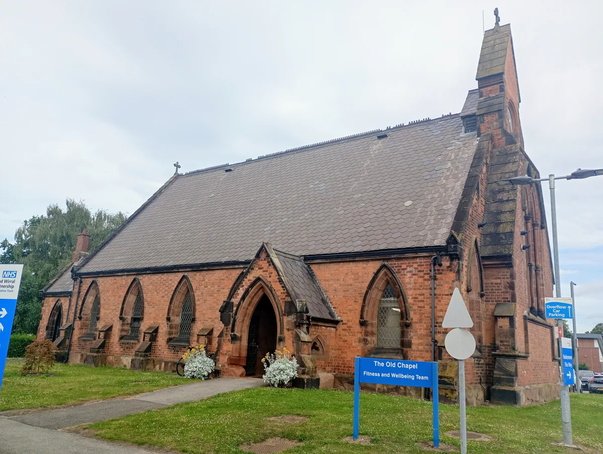
Chapel at the Countess of Chester Hospital
Historic churches · 1.8 km

Countess of Chester Country Park
Parks · 1.9 km

All Saints Church, Great Saughall
Historic churches · 2.3 km

Midsummer Watch Jugglers
Public art & sculpture · 2.3 km

Saughall
Villages · 2.3 km

Noah's Ark
Public art & sculpture · 2.3 km
Nearby
📷 4Towns & cities · North West England
Mollington
Mollington — village and civil parish in Cheshire West and Chester, England.
📷 3Historic bridges · North West England
Knolls Bridge (Canal Bridge Number 131)
Knolls Bridge (Canal Bridge Number 131) — Grade II listed building-listed bridge in wales-north, United Kingdom.
📷 5Campsites · North West England
Kings Acre
Kings Acre — a campsite in wales north.
📷 4Memorials & monuments · North West England
Life for a Life
Life for a Life — a memorial in wales-north, United Kingdom.
📷 5Historic churches · North West England
Cheshire West and Chester
Cheshire West and Chester is a unitary authority area with borough status in Cheshire, England. It was established on 1 April 2009 as part of the 2009 local government changes, by virtue of an order u
📷 3Memorials & monuments · North West England
Fallen for the Fallen
Fallen for the Fallen — a memorial in wales-north, United Kingdom.
Where to eat & stay near Crabwall Manor
Places to stay
📷 5Campsites · North West England
Kings Acre
Kings Acre — a campsite in wales north.
📷 5 📷 5
📷 5Caravan parks · North West England
Fir Trees Holiday Park
Fir Trees Holiday Park — a caravan park in wales north.
📷 5 📷 5
📷 5Caravan parks · North Wales
Oakwood Farm Touring Park
Oakwood Farm Touring Park — a caravan park in wales north.
 📷 7
📷 7Places to eat & drink
 📷 7
📷 7Historic pubs · North West England
George and Dragon Public House and signpost
George and Dragon Public House and signpost in Wales North, United Kingdom.
 📷 5
📷 5Historic pubs · North West England
Telford's Warehouse
Telford's Warehouse in Wales North, United Kingdom.
 📷 5
📷 5Historic pubs · North West England
Bull and Stirrup Hotel
Bull and Stirrup Hotel in Wales North, United Kingdom.
 📷 7
📷 7Historic pubs · North West England
Pied Bull Hotel
Pied Bull Hotel in Wales North, United Kingdom.
 📷 5
📷 5Historic pubs · North West England
The Catholic Club
The Catholic Club in Wales North, United Kingdom.
 📷 5
📷 5Historic pubs · North West England
Oddfellows Arms Public House
Oddfellows Arms Public House in Wales North, United Kingdom.
More historic houses in this region
 📷 3
📷 3Historic houses · North West England
116 Hospital Street, Nantwich
116 Hospital Street, Nantwich — substantial townhouse in Nantwich, Cheshire, England, UK.
 📷 3
📷 3Historic houses · North West England
140–142 Hospital Street, Nantwich
140–142 Hospital Street, Nantwich — grade II listed building in Nantwich, Cheshire East, Cheshire, England, UK.
 📷 3
📷 3Historic houses · North West England
46 High Street, Nantwich
46 High Street, Nantwich — house in Nantwich, Cheshire, England, UK.
 📷 3
📷 3Historic houses · North West England
64, St Ann's Road
64, St Ann's Road — Grade II* listed house in Middlewich, Cheshire East, England, UK.
Frequently asked questions
- Where is Crabwall Manor?
- Crabwall Manor is in North Wales, United Kingdom (postcode CH1 6NE), in the parish of Mollington.
- What is Crabwall Manor?
- Crabwall Manor — a Grade II*-listed historic house in wales-north, United Kingdom.
- How do I get to Crabwall Manor?
- The nearest railway station is Bache, about 2.4 km away. Drivers can use postcode CH1 6NE.
- Is Crabwall Manor a listed building?
- Crabwall Manor is officially recognised as Grade II* listed.
- How do I get to Crabwall Manor?
- The nearest railway station is Bache, about 2.4 km away. Drivers can navigate to postcode CH1 6NE.