
UNESCO World Heritage · South West England
Cornwall and West Devon Mining Landscape
In or near St Hilary.
Cornwall and West Devon Mining Landscape is a UNESCO World Heritage Site in the United Kingdom.

Wikimedia Commons contributors — see linked file page for photographer and licence licence

Plan your visit
- Typical visit
- 2 h–4 h
- Nearest railway station
- St Erth · 5.8 km
Getting there & planning your visit
To visit the Cornwall and West Devon Mining Landscape, the nearest railway station is St Erth, which is 5.8 km away. The postcode for the area is TR20 9RX. Entry details are not specified, so please check locally for accessibility information.
About
Cornwall and West Devon Mining Landscape is inscribed on the UNESCO World Heritage List. Coordinates: 50.1361°, -5.3836°. This entry is part of The Great Britain Guide, a free, ad-free, open-data tourist directory.
Photo gallery
Protected designations
- Area of Outstanding Natural Beauty: Cornwall
Designations sourced from Natural England open data under OGL v3.
From the Wikipedia article
The Cornwall and West Devon Mining Landscape is a World Heritage Site which includes select mining landscapes in Cornwall and West Devon in the south west of England. The site was added to the World Heritage List during the 30th Session of the UNESCO World Heritage Committee in Vilnius, July 2006. Following plans in 2011 to restart mining at South Crofty, and to build a supermarket at Hayle Harbour, the World Heritage Committee drafted a decision in 2014 to put the site on the List of World Heritage in Danger, but this was rejected at the 38th Committee Session at Doha, Qatar (July 2014), in favour of a follow-up Reactive Monitoring Mission.
Excerpt from Wikipedia under CC BY-SA 4.0. See the source article linked in Sources below.
Background
History
Up to the mid-16th century, Devon produced approximately 25-40% of the amount of tin that Cornwall did but the total amount of tin production from both Cornwall and Devon during this period was relatively small. After the 1540s, Cornwall's production took off and Devon's production was only about between a ninth to a tenth of that of Cornwall. From the mid-16th century onwards, the Devon Stannaries were worth very little in income to the King and were sidelined as such following the Supremacy of Parliament Act 1512 (this does not apply to the Stannaries of Cornwall). The landscapes of Cornwall and West Devon were radically reshaped during the 18th and 19th centuries by deep-lode mining for…
Sourced from Wikipedia under CC BY-SA 4.0.
- Coordinates
- 50.1361, -5.3836
- District
- Cornwall
- Parish
- Breage
- Postcode
- TR20 9RX
- Parliamentary constituency
- St Ives
- Nearest railway station
- St Erth — 5.8 km
- Official site
- whc.unesco.org
Sources
- wikidata: Q464566 (CC0)
- wikipedia: Cornwall and West Devon Mining Landscape (CC BY-SA 4.0)
- commons: Levant-Mine-by-John-Gibson.jpg (CC BY-SA 4.0)
Other places nearby

Wheal Junket (West Godolphin Mine)
Historic houses · 0.2 km

Godolphin Hill
Mountains & hills · 1.0 km

Tindene Mine
Historic houses · 1.1 km

Chimney (Tregembo Mine)
Historic houses · 1.1 km

Townshend War Memorial
Memorials & monuments · 1.5 km

Leed's Shaft
Historic houses · 1.6 km

Bridge At Sw 566319
Historic bridges · 1.7 km
Bridge And Village Pump At Sw565319
Historic bridges · 1.8 km

Godolphin House
Historic houses · 1.8 km
Godolphin Estate
Museums · 1.8 km

Forecourt Walls, Stiles And Mounting Block
Holy wells · 1.8 km

Balwest
Historic churches · 2.1 km
Nearby
📷 3Historic houses · South West England
Wheal Junket (West Godolphin Mine)
Wheal Junket (West Godolphin Mine) — a historic house in england-south-west, United Kingdom.
📷 5Mountains & hills · South West England
Godolphin Hill
Godolphin Hill — mountain in england south west. Elevation: 162.2 m.
📷 3Historic houses · South West England
Tindene Mine
Tindene Mine — a historic house in england-south-west, United Kingdom.
📷 2Historic houses · South West England
Chimney (Tregembo Mine)
Chimney (Tregembo Mine) — a historic house in england-south-west, United Kingdom.
📷 3Memorials & monuments · South West England
Townshend War Memorial
Townshend War Memorial — Grade II listed building-listed memorial in england-south-west, United Kingdom.
📷 3Historic houses · South West England
Leed's Shaft
Leed's Shaft — a historic house in england-south-west, United Kingdom.
Where to eat & stay near Cornwall and West Devon Mining Landscape
Places to stay
 📷 5
📷 5 📷 5
📷 5 📷 5
📷 5Campsites · South West England
Higher Pentreath
Higher Pentreath — a campsite in england south west.
 📷 5
📷 5Caravan parks · South West England
Praa Sands Holiday Park
Praa Sands Holiday Park — a caravan park in england south west.
 📷 5
📷 5Caravan parks · South West England
Marazion Caravan & Motorhome club
Marazion Caravan & Motorhome club — a caravan park in england south west.
 📷 5
📷 5Campsites · South West England
Keneggy Cove Holiday Park
Keneggy Cove Holiday Park — a campsite in england south west.
Places to eat & drink
 📷 7
📷 7Historic pubs · South West England
The Pendarves Arms
The Pendarves Arms in England South West, United Kingdom.
 📷 5
📷 5Historic pubs · South West England
The Bucket of Blood
The Bucket of Blood in England South West, United Kingdom.
 📷 5
📷 5 📷 5
📷 5Historic pubs · South West England
Fitzsimmons Arms Public House
Fitzsimmons Arms Public House in England South West, United Kingdom.
 📷 7
📷 7Restaurants · South West England
The Old Lifeboat House Bistro
The Old Lifeboat House Bistro — a restaurant in england south west. Cuisine: seafood.
 📷 5
📷 5More UNESCO sites in this region
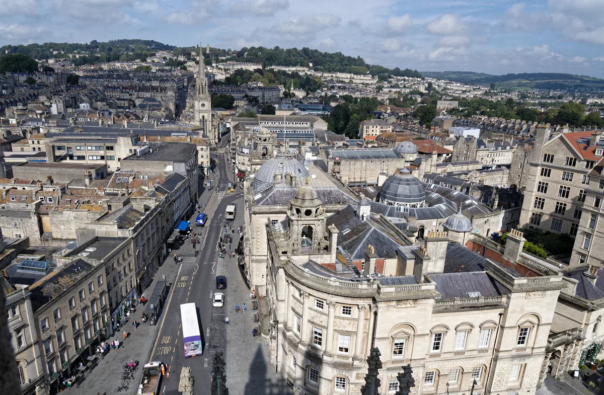 Flagship📷 10
UNESCO World Heritage · South West England
Bath
Bath — city in Somerset, England, United Kingdom.
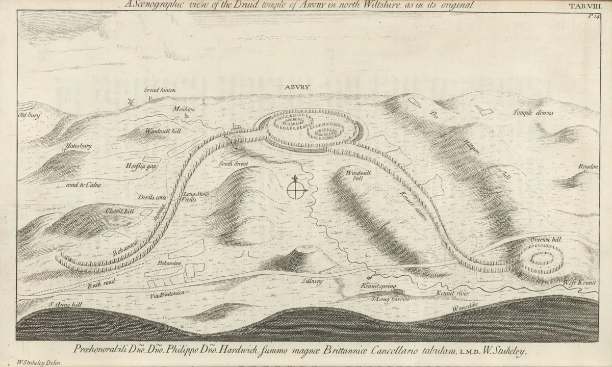 Flagship📷 10
UNESCO World Heritage · South West England
Beckhampton Avenue
Beckhampton Avenue — former avenue of stones in Wiltshire, England.
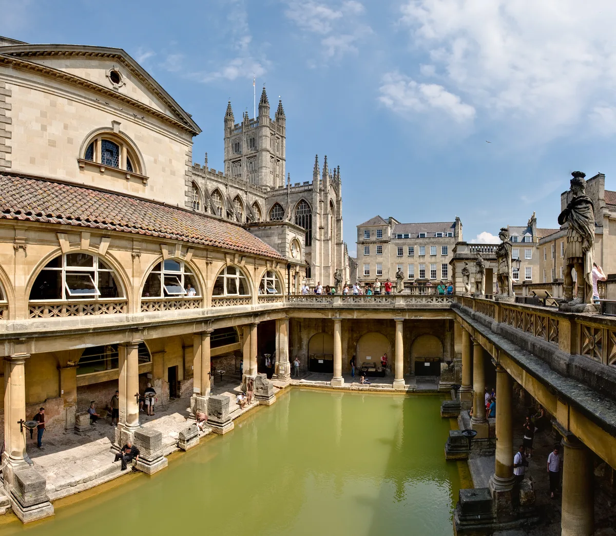 ★ Iconic📷 10
UNESCO World Heritage · South West England
Buildings and architecture of Bath
Buildings and architecture of Bath — aspect of the city in Somerset, England.
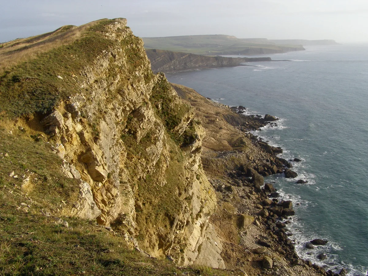 ★ Iconic📷 10
UNESCO World Heritage · South West England
Jurassic Coast
Jurassic Coast — World Heritage Site in England.
Frequently asked questions
- Where is Cornwall and West Devon Mining Landscape?
- Cornwall and West Devon Mining Landscape is in South-West England, United Kingdom (postcode TR20 9RX), in the parish of Breage.
- What is Cornwall and West Devon Mining Landscape?
- Cornwall and West Devon Mining Landscape is a UNESCO World Heritage Site in the United Kingdom.
- How do I get to Cornwall and West Devon Mining Landscape?
- The nearest railway station is St Erth, about 5.8 km away. Drivers can use postcode TR20 9RX.
- Is Cornwall and West Devon Mining Landscape a protected site?
- Yes — Cornwall and West Devon Mining Landscape is part of the Cornwall National Landscape (AONB).
- How do I get to Cornwall and West Devon Mining Landscape?
- The nearest railway station is St Erth, about 5.8 km away. Drivers can navigate to postcode TR20 9RX.