
Parks · East Midlands
Corbar Hill
In or near Harpur Hill.
Corbar Hill is a sandstone hill at the south end of Combs Moss, overlooking Buxton in Derbyshire, in the Peak District. The summit (marked by a trig pillar) is 437 metres (1,434 ft) above sea level. T

Jim Osley — CC BY-SA 2.0 via Wikimedia Commons licence

Plan your visit
- Typical visit
- 1 h–2 h
- Nearest railway station
- Buxton · 0.9 km
- Free entry
- Family-friendly
- Dog-friendly
Getting there & planning your visit
Corbar Hill is located in High Peak, Derbyshire, with the postcode SK17 6TB. The nearest railway station is Buxton, which is 0.9 km away. Entry to the park is free.
About
Corbar Hill is a sandstone hill at the south end of Combs Moss, overlooking Buxton in Derbyshire, in the Peak District. The summit (marked by a trig pillar) is 437 metres (1,434 ft) above sea level. The north west side of the hill (and most of Combs Moss and Black Edge) is designated as "open access" land for the public, following the Countryside and Rights of Way Act 2000. Corbar Cross was a gift from the Duke of Devonshire to Buxton Catholics, who erected it at the summit in 1950 to mark the Holy Year declared by Pope Pius XII. The cross was painted pink as a prank in the 1990s. Protesters against Pope Benedict XVI's visit to the UK in 2010 cut down the cross. A replacement 6-metre-high (20 ft) solid oak cross was donated by a firm in Lancashire and installed in 2011. Corbar Woods is Buxton's oldest woodland and is included in Buxton's "The Park" conservation area. Its 54 acres are owned and managed by the Buxton Civic Association. The woods were used for coppicing trees in medieval times. There are remains of a white coal pit, which used dried coppice branches to generate the high temperatures needed to smelt lead. The 19th-century paths through the ancient woods, known as the Victorian Swiss Walks, were designed by Joseph Paxton (who also laid out the original Buxton Pavilion Gardens). These paths allowed visitors to the spa town to enjoy views over Buxton's fine buildings from the hilltop. The "Ring of Trees" waymarked walk around Buxton runs through Corbar Wood. The ma
Photo gallery
From the Wikipedia article
Corbar Hill is a sandstone hill at the south end of Combs Moss, overlooking Buxton in Derbyshire, in the Peak District. The summit (marked by a trig pillar) is 437 metres (1,434 ft) above sea level. The north west side of the hill (and most of Combs Moss and Black Edge) is designated as "open access" land for the public, following the Countryside and Rights of Way Act 2000. Corbar Cross was a gift from the Duke of Devonshire to Buxton Catholics, who erected it at the summit in 1950 to mark the Holy Year declared by Pope Pius XII. The cross was painted pink as a prank in the 1990s. Protesters against Pope Benedict XVI's visit to the UK in 2010 cut down the cross. A replacement 6-metre-high (20 ft) solid oak cross was donated by a firm in Lancashire and installed in 2011.
Corbar Woods is Buxton's oldest woodland and is included in Buxton's "The Park" conservation area. Its 54 acres are owned and managed by the Buxton Civic Association. The woods were used for coppicing trees in medieval times. There are remains of a white coal pit, which used dried coppice branches to generate the high temperatures needed to smelt lead. The 19th-century paths through the ancient woods, known as the Victorian Swiss Walks, were designed by Joseph Paxton (who also laid out the original Buxton Pavilion Gardens). These paths allowed visitors to the spa town to enjoy views over Buxton's fine buildings from the hilltop. The "Ring of Trees" waymarked walk around Buxton runs through Corbar Wood. The main tree species are beech, yew and oak. The woodland floor at the higher west end of the woods is covered with swathes of bluebells each May. The woods are habitat to common birds (such as thrushes, tits and finches) but are also home to nuthatches and woodpeckers.
Corbar Hill House (on Corbar Road in Buxton) is a Grade II listed building. It was built in the 19th century in the style of a French château (with a mansard roof and fountain), apparently for the Ryder family. It later became John D
Excerpt from Wikipedia under CC BY-SA 4.0. See the source article linked in Sources below.
- Coordinates
- 53.2657, -1.9243
- County
- Derbyshire
- District
- High Peak
- Parish
- High Peak, unparished area
- Postcode
- SK17 6TB
- Parliamentary constituency
- High Peak
- Nearest railway station
- Buxton — 0.9 km
Sources
- wikipedia: Corbar Hill (CC BY-SA 4.0)
Other places nearby

Corbar Hill
Mountains & hills · 0.0 km

Cold Springs Farm Campsite
Campsites · 0.7 km

St Thomas More Catholic School, Buxton
Historic churches · 0.8 km

Pavilion Arts Centre
Theatres · 0.9 km

Buxton Brewery
Breweries · 1.0 km

Roman temple in Buxton
Follies · 1.0 km
Aquae Arnemetiae
Vineyards · 1.0 km

1-6, The Square
Gardens · 1.0 km
Buxton Opera House
Theatres · 1.0 km

Buxton Baths
Museums · 1.0 km
William Cavendish
Public art & sculpture · 1.0 km

Buxton Natural Mineral Baths
Lidos & outdoor pools · 1.0 km
Nearby
📷 5Mountains & hills · East Midlands
Corbar Hill
Corbar Hill — mountain in england east midlands. Elevation: 437 m.
📷 5Campsites · East Midlands
Cold Springs Farm Campsite
Cold Springs Farm Campsite — a campsite in england east midlands.
📷 5Historic churches · East Midlands
St Thomas More Catholic School, Buxton
St Thomas More Catholic School, Buxton — a school heritage in england-east-midlands, United Kingdom.
📷 5Theatres · East Midlands
Pavilion Arts Centre
Pavilion Arts Centre in England South East, United Kingdom.
📷 5Breweries · East Midlands
Buxton Brewery
Buxton Brewery — a brewery in england east midlands.
📷 5Follies · East Midlands
Roman temple in Buxton
Roman temple in Buxton — a temple folly in england-east-midlands, United Kingdom.
Where to eat & stay near Corbar Hill
Places to stay
📷 5Campsites · East Midlands
Cold Springs Farm Campsite
Cold Springs Farm Campsite — a campsite in england east midlands.
 📷 5
📷 5Hotels · East Midlands
Old Hall Hotel
Old Hall Hotel — a hotel in england east midlands.
 📷 5
📷 5Caravan parks · East Midlands
Buxton Caravan and Motorhome Club
Buxton Caravan and Motorhome Club — a caravan park in england east midlands.
 📷 5
📷 5Caravan parks · East Midlands
Lime Tree Park
Lime Tree Park — a caravan park in england east midlands.
📷 5 📷 5
📷 5Campsites · East Midlands
Combs Valley Campsite
Combs Valley Campsite — a campsite in england east midlands.
Places to eat & drink
 📷 5
📷 5Historic pubs · East Midlands
Cat and Fiddle Inn
Cat and Fiddle Inn in England South East, United Kingdom.
 📷 5
📷 5Historic pubs · East Midlands
The Hare And Hounds Hotel
The Hare And Hounds Hotel in England Yorkshire, United Kingdom.
 📷 5
📷 5Historic pubs · North West England
Disley Friends Meeting House
Disley Friends Meeting House in England North West, United Kingdom.
 📷 5
📷 5 📷 4
📷 4Historic pubs · Yorkshire & the Humber
Rams Head Hotel
Rams Head Hotel — Historic pub — listed building or notable heritage status.
 📷 5
📷 5Restaurants · West Midlands
Sutton Hall
Sutton Hall — a restaurant in england west midlands.
More parks in this region
 📷 4
📷 4Parks · East Midlands
Bourne Festival
Bourne Festival is an annual music event held in Wellhead Park in the market town of Bourne, Lincolnshire, England. The festival is a charity event organised by Bourne and District Round Table 896, a
 📷 4
📷 4Parks · East Midlands
Millennium Roller Coaster
Millennium (formerly Millennium Roller Coaster) is a roller coaster at Fantasy Island in Ingoldmells, United Kingdom. It was built by Vekoma, a Dutch roller coaster manufacturer, to celebrate the arri
 📷 5
📷 5Parks · East Midlands
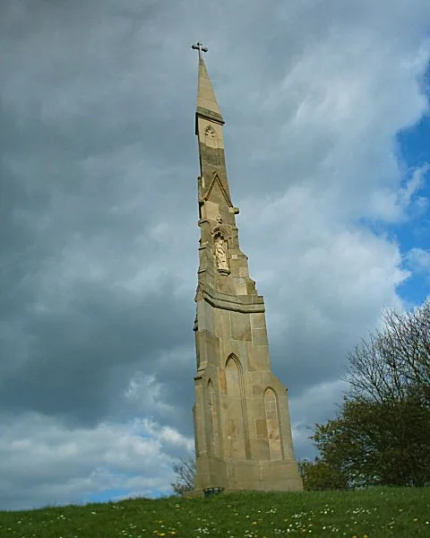
Cholera Monument Grounds and Clay Wood
Cholera Monument Grounds and Clay Wood — park in Sheffield, South Yorkshire, England, UK.
 📷 5
📷 5Parks · East Midlands
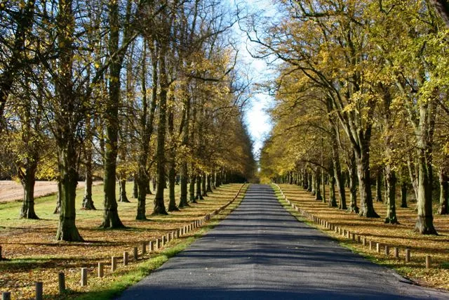
Clumber Park
Clumber Park — estate in Worksop, Nottinghamshire, England, UK.
Frequently asked questions
- Where is Corbar Hill?
- Corbar Hill is in Derbyshire, the East Midlands, United Kingdom (postcode SK17 6TB), in the parish of High Peak, unparished area.
- What is Corbar Hill?
- Corbar Hill is a sandstone hill at the south end of Combs Moss, overlooking Buxton in Derbyshire, in the Peak District. The summit (marked by a trig pillar) is 437 metres (1,434 ft) above sea level. T
- How do I get to Corbar Hill?
- The nearest railway station is Buxton, about 0.9 km away. Drivers can use postcode SK17 6TB.
- Is Corbar Hill free to visit?
- Yes, Corbar Hill is free to enter.
- How do I get to Corbar Hill?
- The nearest railway station is Buxton, about 0.9 km away. Drivers can navigate to postcode SK17 6TB.