
Historic bridges · South East England
Coppard's Bridge
In or near Falmer.
Coppard's Bridge — Grade II listed building-listed bridge in england-south-east, United Kingdom.

Simon Carey — CC BY-SA 2.0 via Wikimedia Commons licence

Plan your visit
- Typical visit
- 15 min–30 min
- Nearest railway station
- Sheffield Park · 4.1 km
- Free entry
- Dog-friendly
Getting there & planning your visit
Coppard's Bridge is located in Lewes, East Sussex, with the postcode BN8 4HS. The nearest railway station is Sheffield Park, which is 4.1 km away. Entry to the bridge is free.
About
Coppard's Bridge is a Grade II listed building-listed bridge in england-south-east, United Kingdom, registered on the National Heritage List for England (NHLE entry 1275946). Listed status protects buildings and structures of special architectural or historic interest. See the linked Wikipedia article for further details.
Photo gallery
Heritage listing
Details CHAILEY CINDER HILL 1. 5206 Coppard's Bridge (Nos 3 and 5) TQ 41 NW 6/17 II 2. C18. Two storeys. Three windows. Red brick and grey headers on stone base. Stringcourse. Half-hipped tiled roof. Casement windows. Listing NGR: TQ4001419579 Legacy The contents of this record have been generated from a legacy data system. Legacy System number: 292778 Legacy System: LBS
From the Historic England List Entry under OGL v3.
Protected designations
- Area of Outstanding Natural Beauty: High Weald
Designations sourced from Natural England open data under OGL v3.
Place summary
Coppard's Bridge is a Grade II listed bridge located in South-East England. It is recognised for its architectural significance and historical value within the region.
AI-generated from the structured facts on this page (operator, designation, listing, era). Not a substitute for visiting.
- Coordinates
- 50.9586, -0.0078
- County
- East Sussex
- District
- Lewes
- Parish
- Chailey
- Postcode
- BN8 4HS
- Parliamentary constituency
- East Grinstead and Uckfield
- Nearest railway station
- Sheffield Park — 4.1 km
Sources
- wikidata: Q26565495 (CC0)
Other places nearby

Chailey
Museums · 0.2 km

Chailey
Villages · 0.8 km

The Five Bells Inn
Historic pubs · 0.8 km
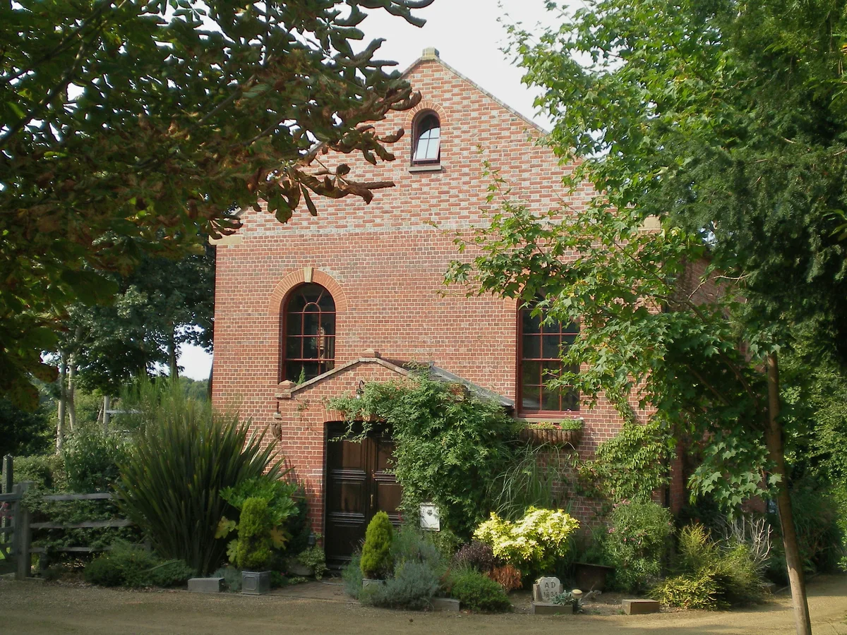
Zion Chapel, Newick
Historic churches · 2.1 km

Newick Park
Historic houses · 2.1 km

Chailey Heritage School
Natural landmarks · 2.2 km

Heritage Mill
Historic houses · 2.2 km

Balneath Manor
Manor houses · 2.4 km

Wyld Wood Campsite
Campsites · 2.4 km

The Secret Campsite
Campsites · 2.5 km

Newick
Villages · 2.5 km

Wowo Campsite - Upper Moat
Campsites · 3.5 km
Nearby
📷 5Museums · South East England
Chailey
Chailey is a village and civil parish in the Lewes District of East Sussex, England. It is located 7 miles north of Lewes, on the A272 road from Winchester to Canterbury. The Prime Meridian passes jus
📷 5📷 5Historic pubs · South East England
The Five Bells Inn
The Five Bells Inn in England South East, United Kingdom.
📷 5Historic churches · South East England
Zion Chapel, Newick
Zion Chapel, Newick — grade II listed church in Newick, Lewes, East Sussex, England, UK.
📷 5Historic houses · South East England
Newick Park
Newick Park — house in Newick, East Sussex, England, UK.
📷 5Natural landmarks · South East England
Chailey Heritage School
Chailey Heritage School — a school heritage in england-south-east, United Kingdom.
Where to eat & stay near Coppard's Bridge
Places to stay
📷 5Campsites · South East England
Wyld Wood Campsite
Wyld Wood Campsite — a campsite in england south east.
📷 5Campsites · South East England
The Secret Campsite
The Secret Campsite — a campsite in england south east.
📷 5Campsites · South East England
Wowo Campsite - Upper Moat
Wowo Campsite - Upper Moat — a campsite in england south east.
 📷 5
📷 5Campsites · South East England
Wowo Campsite - Grassy Field
Wowo Campsite - Grassy Field — a campsite in england south east.
📷 5Campsites · South East England
Wowo Campsite - Lower Moat
Wowo Campsite - Lower Moat — a campsite in england south east.
📷 5Campsites · South East England
Wowo Campsite - Lower Brook
Wowo Campsite - Lower Brook — a campsite in england south east.
Places to eat & drink
📷 5Historic pubs · South East England
The Five Bells Inn
The Five Bells Inn in England South East, United Kingdom.
 📷 5
📷 5Historic pubs · South East England
The Rainbow Inn
The Rainbow Inn in England South East, United Kingdom.
 📷 5
📷 5Historic pubs · South East England
The Halfway House Public House
The Halfway House Public House in England South East, United Kingdom.
 📷 5
📷 5Historic pubs · South East England
The Half Moon Inn
The Half Moon Inn in England South East, United Kingdom.
 📷 7
📷 7Historic pubs · South East England
The Sergison Arms Public House
The Sergison Arms Public House in England South East, United Kingdom.
_(June_2019)_(2).JPG?width=1200) 📷 5
📷 5Historic pubs · South East England
The Black Horse Inn
The Black Horse Inn — Historic pub — listed building or notable heritage status.
More bridges in this region
 📷 5
📷 5Historic bridges · South East England
Briary Hill Bridge east
Briary Hill Bridge east is a historic bridge in the United Kingdom.
 📷 5
📷 5Historic bridges · South East England
Briary Hill Bridge west
Briary Hill Bridge west is a historic bridge in the United Kingdom.
 📷 5
📷 5Historic bridges · South East England
Bridge 157 VIR (Bath Hard Road)
Bridge 157 VIR (Bath Hard Road) is a historic bridge in the United Kingdom.
 📷 5
📷 5Historic bridges · South East England
Dorking Arch Bridge
Dorking Arch Bridge is a historic bridge in the United Kingdom.
Frequently asked questions
- Where is Coppard's Bridge?
- Coppard's Bridge is in East Sussex, South-East England, United Kingdom (postcode BN8 4HS), in the parish of Chailey.
- What is Coppard's Bridge?
- Coppard's Bridge — Grade II listed building-listed bridge in england-south-east, United Kingdom.
- How do I get to Coppard's Bridge?
- The nearest railway station is Sheffield Park, about 4.1 km away. Drivers can use postcode BN8 4HS.
- Is Coppard's Bridge a listed building?
- Coppard's Bridge is officially recognised as Grade II listed building listed.
- Is Coppard's Bridge a protected site?
- Yes — Coppard's Bridge is part of the High Weald National Landscape (AONB).
- Is Coppard's Bridge free to visit?
- Yes, Coppard's Bridge is free to enter.
- How do I get to Coppard's Bridge?
- The nearest railway station is Sheffield Park, about 4.1 km away. Drivers can navigate to postcode BN8 4HS.