
Reservoirs & lochs · North East England
Condercum
In or near Newcastle upon Tyne.
Condercum in England North East, United Kingdom.

Robert Graham — CC BY-SA 2.0 via Wikimedia Commons licence

Plan your visit
- Typical visit
- 1 h–2.5 h
- Nearest railway station
- MetroCentre · 1.9 km
- Free entry
- Dog-friendly
Getting there & planning your visit
To visit Condercum, the nearest railway station is MetroCentre, located 1.9 km away. The postcode for sat-nav is NE15 6QJ, and entry to the reservoir is free.
About
Condercum is a place of interest in England North East, United Kingdom — drawn from open-data sources for visitor reference. See the linked Wikipedia article for the full description.
Photo gallery
Official information
Benwell Vallum Crossing is a historical site featuring a stone-built causeway that crosses the Vallum earthwork, which was part of the Roman fort at Benwell. Visitors can observe the remains of this significant crossing point that once controlled access to the military zone behind Hadrian's Wall.
From the Wikipedia article
Condercum was a Roman fort on the site of the modern-day Condercum Estate in Benwell, a suburb of Newcastle upon Tyne, England. It was the third fort on Hadrian's Wall, about 6.8 miles (10.9 km) east of Rudchester fort and only 2.4 miles (3.9 km) west of Pons Aelius fort (Newcastle), and was situated on a hilltop 2 miles (3 km) to the west of the city. Today, little can be seen of the fort or its adjoining wall, as the site is covered by a modern reservoir and housing estate, bisected by the A186 Newcastle to Carlisle road, which follows the line of Hadrian's Wall. The remains of a small temple dedicated to Antenociticus, a local deity, can be seen nearby, and the original causeway over the Vallum, or rear ditch.
Excerpt from Wikipedia under CC BY-SA 4.0. See the source article linked in Sources below.
Background
History
The fort was built between 122 and 124 AD by the Legion Legio II Augusta. The fort had two granaries built by a detachment from the British Fleet, likely from nearby Arbeia fort, probably because the legionaries responsible for construction of the fort had been called away. The Vallum was built shortly after 130 to the south of the fort to protect the wall from attack from this side, and made a detour around the fort. The vallum could only be crossed at the forts and hence at Benwell a causeway and a gate provided this access about south of the fort's southern gate. Additional building or repair work in the late-2nd century was done by Legion Legio XX Valeria Victrix based at Chester.
Description
The fort measured 570 ft from north to south by 400 ft east to west and the defences enclosed an area of just over 5 acre. As a cavalry fort built partially to the north of the wall, it had three gates on this side to allow quick access. There were two side gates, facing east and west, through which the Roman military road, running along the south side of Wall, passed. There was also a south-facing gate that led to a stone causeway crossing the vallum ditch, wide and deep, with mounds either side. The causeway, still visible today, had a large monumental non-military gateway located halfway across the vallum and with some of the best dressed stone on Hadrian's Wall. The fort contained a…
Sourced from Wikipedia under CC BY-SA 4.0.
- Coordinates
- 54.9760, -1.6630
- District
- Newcastle upon Tyne
- Parish
- Newcastle upon Tyne, unparished area
- Postcode
- NE15 6QJ
- Parliamentary constituency
- Newcastle upon Tyne Central and West
- Established
- 122
- Nearest railway station
- MetroCentre — 1.9 km
- Opening
- Open any reasonable time during daylight hours - external viewing only.
- Official site
- www.english-heritage.org.uk
Sources
Other places nearby
Benwell Roman Temple
Archaeological sites · 0.0 km

Benwell Roman Temple
Archaeological sites · 0.0 km

Benwell Vallum
Archaeological sites · 0.1 km
Benwell Vallum Crossing
Natural landmarks · 0.1 km

Benwell Vallum Crossing
Archaeological sites · 0.1 km
Condercum Hill
Mountains & hills · 0.1 km

Hindu Temple
Historic churches · 0.4 km

Masjid Darul Arqam
Historic churches · 0.4 km

Benwell
Other places · 0.4 km
Benwell & Scotswood
Parks · 0.4 km

Majestic Theatre
Theatres · 0.4 km
Benwell Nature Park
Parks · 0.5 km
Nearby
📷 3Archaeological sites · North East England
Benwell Roman Temple
Benwell Roman Temple — a archaeological in scotland-lowlands, United Kingdom.
📷 5Archaeological sites · North East England
Benwell Roman Temple
Benwell Roman Temple — archaeological in scotland lowlands.
📷 3Archaeological sites · North East England
Benwell Vallum
Benwell Vallum — a archaeological in scotland-lowlands, United Kingdom.
📷 3Natural landmarks · North East England
Benwell Vallum Crossing
Benwell Vallum Crossing — a other in scotland-lowlands, United Kingdom.
📷 5Archaeological sites · North East England
Benwell Vallum Crossing
Benwell Vallum Crossing — archaeological in scotland lowlands.
📷 5Mountains & hills · North East England
Condercum Hill
Condercum Hill — mountain in scotland lowlands. Elevation: 126 m.
Where to eat & stay near Condercum
Places to stay
 📷 5
📷 5Hotels · North East England
Maldron Hotel Newcastle
Maldron Hotel Newcastle — a hotel in scotland lowlands. 4-star. Brand: Maldron Hotels.
 📷 5
📷 5Hotels · North East England
The County Hotel
The County Hotel — a hotel in scotland lowlands.
 📷 5
📷 5Hostels · North East England
Albatross Hostel
Albatross Hostel — a hostel in scotland lowlands.
 📷 7
📷 7Hotels · North East England
Crowne Plaza Newcastle
Crowne Plaza Newcastle — a hotel in scotland lowlands.
 📷 5
📷 5Hostels · North East England
Heroes Bunkz
Heroes Bunkz — a hostel in scotland lowlands.
Places to eat & drink
 📷 5
📷 5 📷 5
📷 5Historic pubs · North East England
The Balmoral Public House
The Balmoral Public House in Scotland Lowlands, United Kingdom.
 📷 5
📷 5Historic pubs · North East England
The Cordwainers' Public House
The Cordwainers' Public House in Scotland Lowlands, United Kingdom.
 📷 5
📷 5Historic pubs · North East England
Liberty House
Liberty House in Scotland Lowlands, United Kingdom.
 📷 5
📷 5Historic pubs · North East England
Theatre Royal Lounge And Restaurant; The Royal Public House
Theatre Royal Lounge And Restaurant; The Royal Public House in Scotland Lowlands, United Kingdom.
 📷 5
📷 5More places in this region
 📷 2
📷 2Reservoirs & lochs · North East England
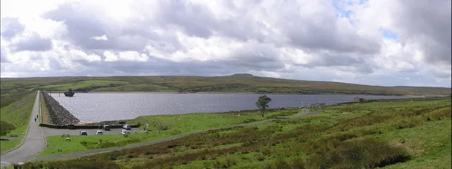
Balderhead Reservoir
Balderhead Reservoir — reservoir in County Durham, England, UK.
 📷 3
📷 3Reservoirs & lochs · North East England
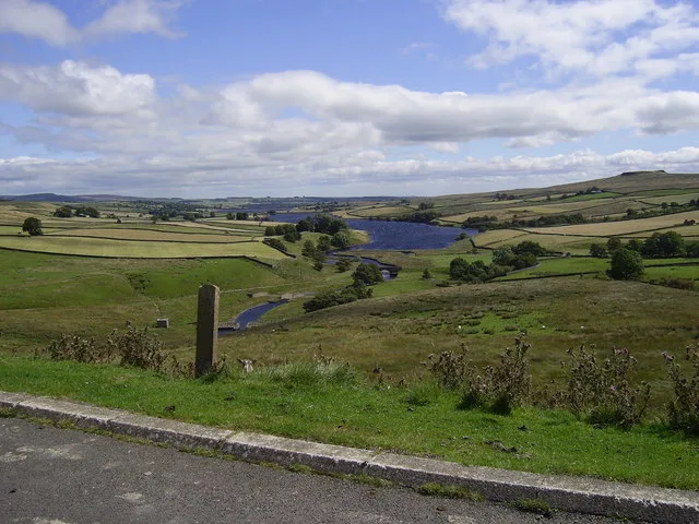
Blackton Reservoir
Blackton Reservoir — reservoir in County Durham, England, UK.
 📷 5
📷 5Reservoirs & lochs · North East England
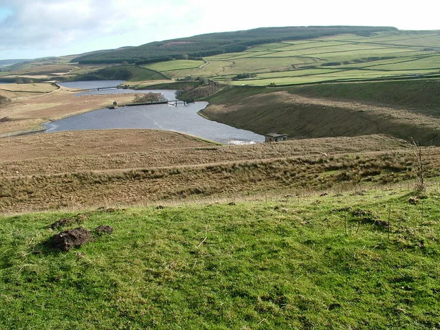
Grassholme Reservoir
Grassholme Reservoir — reservoir in County Durham, England, UK.
 📷 3
📷 3Reservoirs & lochs · North East England
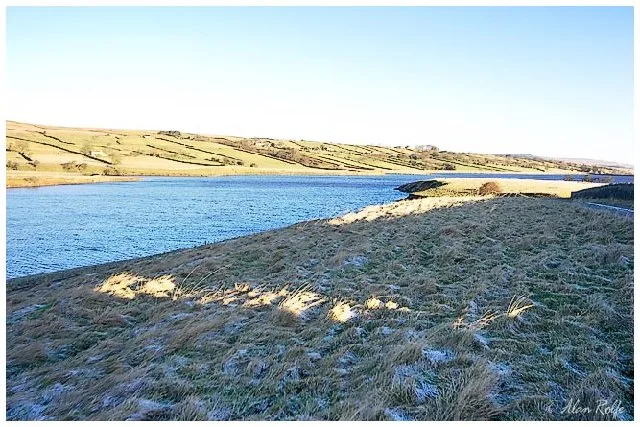
Hury Reservoir
Hury Reservoir — reservoir in County Durham, England, UK.
Frequently asked questions
- Where is Condercum?
- Condercum is in North-East England, United Kingdom (postcode NE15 6QJ), in the parish of Newcastle upon Tyne, unparished area.
- What is Condercum?
- Condercum in England North East, United Kingdom.
- How do I get to Condercum?
- The nearest railway station is MetroCentre, about 1.9 km away. Drivers can use postcode NE15 6QJ.
- When was Condercum built?
- Built or established in 122.
- Who owns Condercum?
- Condercum is owned by English Heritage.
- Is Condercum free to visit?
- Yes, Condercum is free to enter.
- How do I get to Condercum?
- The nearest railway station is MetroCentre, about 1.9 km away. Drivers can navigate to postcode NE15 6QJ.