
Archaeological sites · South West England
Coaxial fields and prehistoric settlements 180m north and 350m north west of Hartland Tor
In or near Widecombe in the Moor.
Coaxial fields and prehistoric settlements 180m north and 350m north west of Hartland Tor — archaeological site in Dartmoor Forest, West Devon, England, UK.

Wikimedia Commons contributors — see linked file page for photographer and licence licence

Plan your visit
- Typical visit
- 45 min–1.5 h
- Free entry
- Dog-friendly
About
Coaxial fields and prehistoric settlements 180m north and 350m north west of Hartland Tor is a place of interest in Devon, South-West England. Officially recognised as scheduled monument. The site is a designated Site of Special Scientific Interest. It sits within the Torridge and Tavistock parliamentary constituency. Postcode area PL20.
Photo gallery
Protected designations
- Site of Special Scientific Interest: North Dartmoor SSSI
Designations sourced from Natural England open data under OGL v3.
Place summary
Coaxial fields and prehistoric settlements, located 180m north and 350m northwest of Hartland Tor in Devon, are significant archaeological features. Designated as a scheduled monument, they are part of the North Dartmoor Site of Special Scientific Interest (SSSI).
AI-generated from the structured facts on this page (operator, designation, listing, era). Not a substitute for visiting.
- Coordinates
- 50.6052, -3.9200
- County
- Devon
- District
- West Devon
- Parish
- Dartmoor Forest
- Postcode
- PL20 6SZ
- Parliamentary constituency
- Torridge and Tavistock
Sources
- wikidata: Q17663372 (CC0)
- commons: Hut circle - geograph.org.uk - 1391035.jpg (CC BY-SA 4.0)
Other places nearby
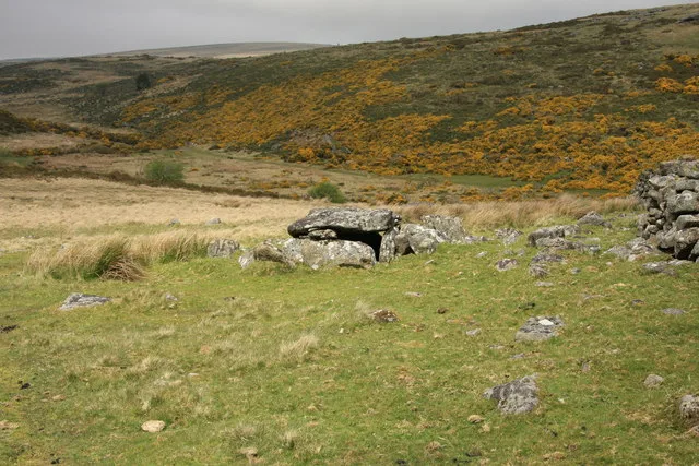
Roundy Park prehistoric enclosure and cairn with cist, 560m north east of Archerton
Archaeological sites · 0.6 km
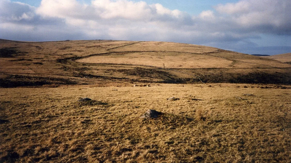
Broadun prehistoric enclosed settlement, 780m NNW of Archerton
Archaeological sites · 0.7 km

The Sheepfold
Historic houses · 0.8 km

Medieval settlement 470m east of Hartyland
Vineyards · 0.9 km

Stannon Tor
Mountains & hills · 1.1 km

Beehive Hut
Natural landmarks · 1.3 km

Postbridge
Villages · 1.4 km

Clapper Bridge
Historic bridges · 1.4 km

Merripit Hill
Mountains & hills · 1.6 km

East Dart Waterfall
Viewpoints · 1.7 km

Braddon Tor
Mountains & hills · 1.9 km

Kraps Ring
Archaeological sites · 2.0 km
Nearby
📷 3Archaeological sites · South West England
Roundy Park prehistoric enclosure and cairn with cist, 560m north east of Archerton
Roundy Park prehistoric enclosure and cairn with cist, 560m north east of Archerton — archaeological site in Dartmoor Forest, West Devon, England, UK.
📷 5Archaeological sites · South West England
Broadun prehistoric enclosed settlement, 780m NNW of Archerton
Broadun prehistoric enclosed settlement, 780m NNW of Archerton — archaeological site in Dartmoor Forest, West Devon, England, UK.
📷 3Historic houses · South West England
The Sheepfold
The Sheepfold — a historic house in South West England, United Kingdom.
📷 5Vineyards · South West England
Medieval settlement 470m east of Hartyland
Medieval settlement 470m east of Hartyland — a UK vineyard in england south west, producing English or Welsh wine from cool-climate grape varieties.
📷 5Mountains & hills · South West England
Stannon Tor
Stannon Tor — mountain in england south west. Elevation: 462 m.
📷 3Natural landmarks · South West England
Beehive Hut
Beehive Hut — a place in South West England, United Kingdom.
Where to eat & stay near Coaxial fields and prehistoric settlements 180m north and 350m north west of Hartland Tor
Places to stay
 📷 5
📷 5Campsites · South West England
Runnage Farm Campsite
Runnage Farm Campsite — a campsite in england south west.
 📷 5
📷 5Hostels · South West England
YHA Dartmoor Hostel Bellever
YHA Dartmoor Hostel Bellever — a hostel in england south west.
 📷 5
📷 5Campsites · South West England
Beardown Farm
Beardown Farm — a campsite in england south west.
 📷 5
📷 5Campsites · South West England
Longhouse Barn, Dartmoor.
Longhouse Barn, Dartmoor. — a campsite in england south west.
 📷 5
📷 5Hotels · South West England
Prince Hall Hotel
Prince Hall Hotel — a hotel in england south west.
 📷 5
📷 5Hostels · South West England
Dartmoor Expedition Centre
Dartmoor Expedition Centre — a hostel in england south west.
Places to eat & drink
 📷 7
📷 7Historic pubs · South West England
Warren House Inn
Warren House Inn in England South West, United Kingdom.
 📷 5
📷 5Historic pubs · South West England
The Oxenham Arms
The Oxenham Arms in England South West, United Kingdom.
 📷 5
📷 5 📷 5
📷 5Historic pubs · South West England
The Victoria Inn
The Victoria Inn in England South West, United Kingdom.
 📷 7
📷 7 📷 7
📷 7Historic pubs · South West England
Royal Oak Public House
Royal Oak Public House in England South West, United Kingdom.
More archaeological sites in this region
 📷 5
📷 5Archaeological sites · South West England
Battlesbury Camp Monuments: hillfort, settlement, cemetery, barrows, enclosure, and field systems
Battlesbury Camp Monuments: hillfort, settlement, cemetery, barrows, enclosure, and field systems — archaeological site in Warminster, Wiltshire, England, UK.
 📷 5
📷 5Archaeological sites · South West England
Blandford Forest
Blandford Forest — forest in Blandford Forum, England.
 📷 5
📷 5Archaeological sites · South West England
Boulsbury Wood
Boulsbury Wood — protected area in Dorset and Hampshire, England.
.jpg?width=1200) 📷 5
📷 5Archaeological sites · South West England
Cranborne Chase
Cranborne Chase — Plateau in southern England.
Frequently asked questions
- Where is Coaxial fields and prehistoric settlements 180m north and 350m north west of Hartland Tor?
- Coaxial fields and prehistoric settlements 180m north and 350m north west of Hartland Tor is in Devon, South-West England, United Kingdom (postcode PL20 6SZ), in the parish of Dartmoor Forest.
- What is Coaxial fields and prehistoric settlements 180m north and 350m north west of Hartland Tor?
- Coaxial fields and prehistoric settlements 180m north and 350m north west of Hartland Tor — archaeological site in Dartmoor Forest, West Devon, England, UK.
- How do I get to Coaxial fields and prehistoric settlements 180m north and 350m north west of Hartland Tor?
- The nearest town is Widecombe in the Moor. Drivers can use postcode PL20 6SZ.
- Is Coaxial fields and prehistoric settlements 180m north and 350m north west of Hartland Tor a listed building?
- Coaxial fields and prehistoric settlements 180m north and 350m north west of Hartland Tor is officially recognised as scheduled monument listed.
- Is Coaxial fields and prehistoric settlements 180m north and 350m north west of Hartland Tor a protected site?
- Yes — Coaxial fields and prehistoric settlements 180m north and 350m north west of Hartland Tor is part of the North Dartmoor SSSI Site of Special Scientific Interest.
- Is Coaxial fields and prehistoric settlements 180m north and 350m north west of Hartland Tor free to visit?
- Yes, Coaxial fields and prehistoric settlements 180m north and 350m north west of Hartland Tor is free to enter.
- How do I get to Coaxial fields and prehistoric settlements 180m north and 350m north west of Hartland Tor?
- Drivers can navigate to postcode PL20 6SZ. It sits within the Torridge and Tavistock parliamentary constituency.