
Wildlife reserves · Scottish Lowlands
Clyde Walkway
In or near Kirkfieldbank.
The Clyde Walkway is a foot and mountain bike path which runs from Glasgow, Scotland, to just above the UNESCO World Heritage Site of New Lanark. The path runs close to the River Clyde for most of its

Jim Smillie — CC BY-SA 2.0 via Wikimedia Commons licence

Plan your visit
- Typical visit
- 2 h–4 h
- Best time of year
- Autumn & winter (migration & wildfowl)
- Nearest railway station
- Carluke · 2.0 km
- Free entry
- Dog-friendly
- Limited wheelchair access
Getting there & planning your visit
To visit the Clyde Walkway, the nearest railway station is Carluke, located 2 km away. Entry is free, but wheelchair access is limited. The postcode for sat-nav is ML8 5HD.
About
The Clyde Walkway is a foot and mountain bike path which runs from Glasgow, Scotland, to just above the UNESCO World Heritage Site of New Lanark. The path runs close to the River Clyde for most of its length. It was completed in 2005, and is now designated as one of Scotland's Great Trails by NatureScot. The route is 65 kilometres (40 mi) long, and combines rural sections on the upper Clyde in South Lanarkshire, including the Clyde Valley Woodlands National Nature Reserve and the Falls of Clyde, with urban walking through the centre of Glasgow. About 155,000 people use the path every year, of whom about 7,750 undertake multi-day journeys including those covering the entire route.
Photo gallery
See it from the streetimagery from 2019
Imagery © Mapillary contributors, CC BY-SA 4.0
From the Wikipedia article
The Clyde Walkway is a foot and mountain bike path which runs from Glasgow, Scotland, to just above the UNESCO World Heritage Site of New Lanark. The path runs close to the River Clyde for most of its length. It was completed in 2005, and is now designated as one of Scotland's Great Trails by NatureScot. The route is 65 kilometres (40 mi) long, and combines rural sections on the upper Clyde in South Lanarkshire, including the Clyde Valley Woodlands National Nature Reserve and the Falls of Clyde, with urban walking through the centre of Glasgow. About 155,000 people use the path every year, of whom about 7,750 undertake multi-day journeys including those covering the entire route.
Excerpt from Wikipedia under CC BY-SA 4.0. See the source article linked in Sources below.
- Coordinates
- 55.7328, -3.8808
- District
- South Lanarkshire
- Postcode
- ML8 5HD
- Parliamentary constituency
- Motherwell, Wishaw and Carluke
- Established
- 2005
- Nearest railway station
- Carluke — 2 km
Sources
- wikipedia: Clyde Walkway (CC BY-SA 4.0)
Other places nearby

Clyde walkway
Military museums · 0.0 km

Law of Maudslie
Mountains & hills · 1.0 km

William Roy Birthplace of Major-General Birthplace Memorial
Memorials & monuments · 1.1 km
Law Hill
Mountains & hills · 1.2 km

Mauldslie Castle
Castles · 1.2 km

Mauldslie Bridge
Historic bridges · 1.6 km

Milton Lockhart Bridge And Gate Lodge
Historic bridges · 1.8 km

Law
Villages · 1.9 km

Dalserf Kirk
Historic churches · 2.0 km

South Church Memorial
Memorials & monuments · 2.2 km

St Andrew's Parish Church, Carluke
Historic churches · 2.4 km

Garrion Tower
Literary houses · 2.4 km
Nearby
📷 5Military museums · Scottish Lowlands
Clyde walkway
Clyde walkway — a military museum in scotland central.
📷 5Mountains & hills · Scottish Lowlands
Law of Maudslie
Law of Maudslie — a hill or mountain in scotland central.
📷 3Memorials & monuments · Scottish Lowlands
William Roy Birthplace of Major-General Birthplace Memorial
William Roy Birthplace of Major-General Birthplace Memorial — a memorial in scotland-central, United Kingdom.
📷 5Mountains & hills · Scottish Lowlands
Law Hill
Law Hill — mountain in scotland central. Elevation: 214 m.
📷 3Castles · Scottish Lowlands
Mauldslie Castle
Mauldslie Castle — former castle in South Lanarkshire, Scotland.
📷 5Historic bridges · Scottish Lowlands
Mauldslie Bridge
Mauldslie Bridge — category A listed building-listed bridge in scotland-central, United Kingdom.
Where to eat & stay near Clyde Walkway
Places to stay
 📷 5
📷 5Caravan parks · Scottish Lowlands
Clyde Valley Caravan Park
Clyde Valley Caravan Park — a caravan park in scotland central.
 📷 5
📷 5 📷 5
📷 5Hotels · Scottish Lowlands
New Lanark Mill Hotel
New Lanark Mill Hotel — a hotel in scotland central.
 📷 5
📷 5 📷 5
📷 5Hostels · Scottish Lowlands
Scottish Equi Complex
Scottish Equi Complex — a hostel in scotland central.
 📷 5
📷 5Caravan parks · Scottish Lowlands
Newhouse Park Farm
Newhouse Park Farm — a caravan park in scotland central.
Places to eat & drink
 📷 7
📷 7Historic pubs · Scottish Lowlands
The Clydesdale Inn
The Clydesdale Inn in Scotland Central, United Kingdom.
 📷 5
📷 5Historic pubs · Central Scotland
The Rowan Tree Inn, 62 Old Mill Road, Uddingston
The Rowan Tree Inn, 62 Old Mill Road, Uddingston in Scotland Central, United Kingdom.
 📷 6
📷 6Historic pubs · Scottish Lowlands
74 Main Street, Carnwath
74 Main Street, Carnwath in Scotland Central, United Kingdom.
 📷 7
📷 7Historic pubs · Scottish Lowlands
Douglas Arms Hotel, Douglas
Douglas Arms Hotel, Douglas in Scotland Central, United Kingdom.
 📷 5
📷 5Historic pubs · Central Scotland
Portland Arms Public House, 1169 Shettleston Road, Glasgow
Portland Arms Public House, 1169 Shettleston Road, Glasgow in Scotland Central, United Kingdom.
 📷 7
📷 7Historic pubs · Scottish Lowlands
Cross Keys Inn, 1 Montgomery Street, Eaglesham
Cross Keys Inn, 1 Montgomery Street, Eaglesham in Scotland Central, United Kingdom.
More places in this region
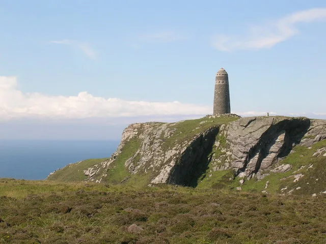 📷 3
📷 3Wildlife reserves · Scottish Lowlands
The Oa
The Oa — peninsula in the southwest of Islay, Argyll and Bute, Scotland, UK.
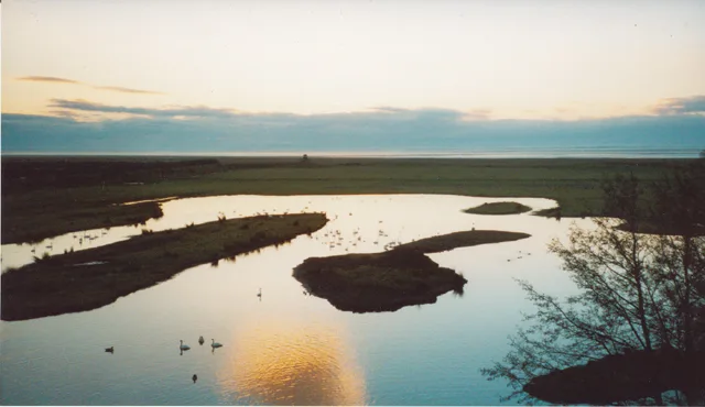 📷 3
📷 3Wildlife reserves · Scottish Lowlands
WWT Caerlaverock
WWT Caerlaverock — wetland nature reserve in southwest Scotland.
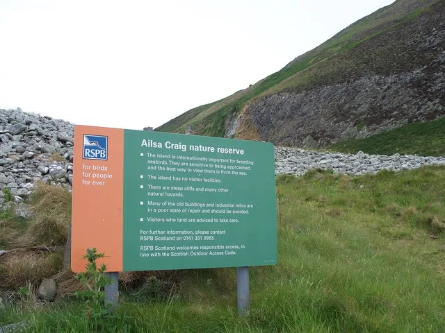 📷 3
📷 3Wildlife reserves · Scottish Lowlands
Ailsa Craig RSPB Reserve
Ailsa Craig RSPB Reserve — RSPB nature reserve in South Ayrshire, Scotland, UK.
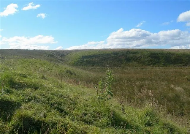 📷 3
📷 3Wildlife reserves · Scottish Lowlands
Airds Moss RSPB Reserve
Airds Moss RSPB Reserve — RSPB nature reserve in East Ayrshire, Scotland, UK.
Frequently asked questions
- Where is Clyde Walkway?
- Clyde Walkway is in central Scotland, United Kingdom (postcode ML8 5HD).
- What is Clyde Walkway?
- The Clyde Walkway is a foot and mountain bike path which runs from Glasgow, Scotland, to just above the UNESCO World Heritage Site of New Lanark. The path runs close to the River Clyde for most of its
- How do I get to Clyde Walkway?
- The nearest railway station is Carluke, about 2.0 km away. Drivers can use postcode ML8 5HD.
- When was Clyde Walkway built?
- Built or established in 2005.
- Is Clyde Walkway free to visit?
- Yes, Clyde Walkway is free to enter.
- How do I get to Clyde Walkway?
- The nearest railway station is Carluke, about 2.0 km away. Drivers can navigate to postcode ML8 5HD.
- Are dogs allowed at Clyde Walkway?
- Most wildlife reserves allow dogs on lead only, with restrictions during ground-nesting bird season (March-July). Check signage at the reserve.