
Natural landmarks · Northern Ireland
Clogher
In or near Garvaghey.
Clogher in Northern Ireland, United Kingdom.

Kenneth Allen — CC BY-SA 2.0 via Wikimedia Commons licence
_-_geograph.org.uk_-_5219763.jpg)
Plan your visit
- Typical visit
- 1 h–2 h
- Free entry
- Dog-friendly
About
Clogher is a place of interest in Northern Ireland, United Kingdom — drawn from open-data sources for visitor reference. See the linked Wikipedia article for the full description.
Photo gallery
From the Wikipedia article
Clogher is a barony in County Tyrone, Northern Ireland. It is bordered by four other baronies in Northern Ireland: Omagh East to the north; Dungannon Lower to the east; Magherastephana to the south; and Tirkennedy to the south-west. It also borders two baronies in the Republic of Ireland: Trough and Monaghan both to the south-east. In the eighteenth century Clogher barony was sometimes called Upper Dungannon, by contrast with the then barony of Dungannon; it is not to be confused with the modern Dungannon Upper barony created by the 1837 subdivision of Dungannon barony.
Excerpt from Wikipedia under CC BY-SA 4.0. See the source article linked in Sources below.
Background
History
The barony of Clogher was a territory formerly known as Kinel Ferady, an anglicisation of a branch of the Cenél nEóghain, the Cenél Fearadhaigh, meaning kindred/descendants of Ferry. This territory was divided into two ancient districts. The Mac Cathmhaoil (, Campbell, MacCawell, MacCall) were the leading sept of the Cenél Fearadhaigh, and one of the seven powerful septs supporting O'Neill. The Maolgeimridh () and Maolpadraig () septs are recorded as being in possession of the two districts of the Cenél Fearadhaigh at one stage. The Cenél Fearadhaigh by the 12th century controlled a large portion of County Tyrone and had penetrated deep into County Fermanagh. By the mid-14th century…
Sourced from Wikipedia under CC BY-SA 4.0.
- Coordinates
- 54.4373, -7.2108
- District
- Mid Ulster
- Postcode
- BT76 0XB
- Parliamentary constituency
- Fermanagh and South Tyrone
Sources
- wikidata: Q5134906 (CC0)
- wikipedia: Clogher (barony) (CC BY-SA 4.0)
Other places nearby

Mallabeny
Natural landmarks · 0.7 km

Mallabeny
Vineyards · 0.7 km

Clogher
Villages · 2.4 km

Tullanavert
Natural landmarks · 3.2 km

Cloneblaugh
Natural landmarks · 3.3 km

Eskragh
Villages · 3.3 km

Aughintain Castle
Castles · 3.4 km
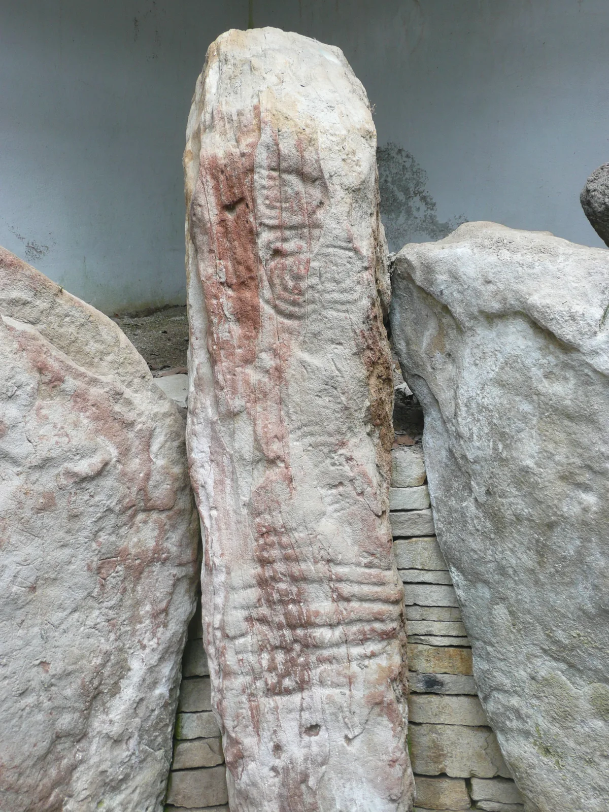
Knockmany passage tomb
Hill forts · 3.5 km

Knockmany
Archaeological sites · 3.7 km

St. Macartan's Cathedral
Cathedrals · 3.9 km

Augher
Natural landmarks · 4.0 km

Clogher Éire Óg GAC
Natural landmarks · 4.1 km
Nearby
📷 3📷 5Vineyards · Northern Ireland
Mallabeny
Mallabeny — a UK vineyard in northern ireland, producing English or Welsh wine from cool-climate grape varieties.
📷 5📷 4Natural landmarks · Northern Ireland
Tullanavert
Tullanavert in Northern Ireland, United Kingdom.
📷 5Natural landmarks · Northern Ireland
Cloneblaugh
Cloneblaugh in Northern Ireland, United Kingdom.
📷 5Where to eat & stay near Clogher
Places to stay
 📷 5
📷 5Caravan parks · Northern Ireland
Round Lake Caravan Park
Round Lake Caravan Park — a caravan park in northern ireland.
 📷 5
📷 5Caravan parks · Northern Ireland
Round Lake Caravan Park
Round Lake Caravan Park — a caravan park in northern ireland.
More natural landmarks in this region
 Flagship📷 4
Natural landmarks · Northern Ireland
Lough Erne
Lough Erne — lake in County Fermanagh, Northern Ireland, UK.
 Flagship📷 4
Natural landmarks · Northern Ireland
Lough Neagh
Lough Neagh — large lake in Northern Ireland.
 📷 3
📷 3Natural landmarks · Northern Ireland
Ballysaggart Lough
Ballysaggart Lough — lake in the United Kingdom.
 📷 5
📷 5Natural landmarks · Northern Ireland
Belmore Mountain
Belmore Mountain — mountain in the United Kingdom.
Frequently asked questions
- Where is Clogher?
- Clogher is in Northern Ireland, United Kingdom (postcode BT76 0XB).
- What is Clogher?
- Clogher in Northern Ireland, United Kingdom.
- How do I get to Clogher?
- Drivers can use postcode BT76 0XB.
- Is Clogher free to visit?
- Yes, Clogher is free to enter.
- How do I get to Clogher?
- Drivers can navigate to postcode BT76 0XB. It sits within the Fermanagh and South Tyrone parliamentary constituency.