
Towns & cities · London
Chipperfield
Chipperfield — village and civil parish in the Dacorum district of Hertfordshire, England.

Wikimedia Commons contributors — see linked file page for photographer and licence licence

Plan your visit
- Typical visit
- 3 h–6 h
- Nearest railway station
- Kings Langley · 3.6 km
- Free entry
- Family-friendly
- Dog-friendly
Getting there & planning your visit
To visit Chipperfield, the nearest railway station is Kings Langley, located 3.6 km away. Entry to the town is free.
About
Chipperfield is a town, city, village or settlement in the United Kingdom. Recent population estimates put it at around 1,753 people. Address: WD4. Wikidata describes it as: "village and civil parish in the Dacorum district of Hertfordshire, England". Coordinates: 51.7039°, -0.4906°.
Photo gallery
Protected designations
- Area of Outstanding Natural Beauty: Chilterns
Designations sourced from Natural England open data under OGL v3.
From the Wikipedia article
Chipperfield is a village and civil parish in the Dacorum district of Hertfordshire, England, approximately five miles southwest of Hemel Hempstead and five miles north of Watford. It stands on a chalk plateau at the edge of the Chiltern Hills, between 130 and 160 metres above sea level. The village green is at the centre of Chipperfield on the edge of the 117 acre Chipperfield Common. The rural parish includes the hamlet of Tower Hill.
Excerpt from Wikipedia under CC BY-SA 4.0. See the source article linked in Sources below.
Background
History
Prehistoric activity in the area is testified by the presence of two tumuli on the common. Besides being burial mounds these may have designated the boundary of lands worked by Bronze Age communities in the Gade and Chess valleys. For centuries Chipperfield was an outlying settlement of Kings Langley consisting only of scattered houses. The first documentary evidence of the name is found in 1316, when Edward II bequeathed 'the Manor House of Langley the closes adjoining together with the vesture of Chepervillewode for Fewel and other Necessaries' to the Dominican Black Friars. By the 1830s Chipperfield was large enough to warrant the building of both Anglican and Baptist churches and became…
Description
Perhaps the most significant feature is the common, comprising 47.5 ha (117 acres) of secondary growth woodland to the south of the village. The common is criss-crossed by way-marked paths and contains eight veteran Spanish sweet chestnut trees (Castanea sativa), one having a girth of about 21 feet. They are estimated to date back to the 1600s and believed to be descended from specimens brought from Spain in the Middle Ages. Tradition has it they were planted "for the delight of Isabel of Castile". Isabel of Castile (1355–1392) was the first Duchess of York, the wife of Edmund Langley who lived in the nearby Royal Palace of Kings Langley. The common has several ponds, notably the Apostles…
Sourced from Wikipedia under CC BY-SA 4.0.
- Coordinates
- 51.7039, -0.4906
- County
- Hertfordshire
- District
- Dacorum
- Parish
- Chipperfield
- Postcode
- WD4
- Parliamentary constituency
- Hemel Hempstead
- Population
- 1,753
- Nearest railway station
- Kings Langley — 3.6 km
- Official site
- www.neighbourhood.statistics.gov.uk
Sources
- wikidata: Q19930 (CC0)
- wikipedia: Chipperfield (CC BY-SA 4.0)
- commons: Chipperfield, War Memorial and The Two Brewers - geograph.org.uk - 122311.jpg (CC BY-SA 4.0)
Other places nearby

Chipperfield War Memorial (On Green Opposite Two Brewers Inn)
Memorials & monuments · 0.0 km

The Two Brewers
Hotels · 0.0 km

The Manor House
Historic houses · 0.4 km

The Boot Public House
Historic pubs · 2.1 km
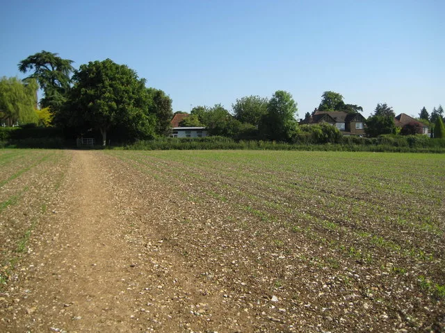
Kings Langley Palace
Palaces · 2.3 km

Sarratt
Towns & cities · 2.3 km

Priory
Abbeys & priories · 2.3 km
Plantagenate Royal Palace (site of)
Palaces · 2.3 km

The Old Palace Public House
Historic pubs · 2.4 km

Kings Langley
Towns & cities · 2.7 km

The Bricklayer Arms Public House
Historic pubs · 2.7 km

Phasels Wood Activity Centre
Campsites · 2.8 km
Chipperfield is a charming town in Hertfordshire, located within the London region. Visitors can explore the historic charm of The Manor House and learn about local history at the Chipperfield War Memorial. For a relaxing stay, The Two Brewers hotel offers convenient accommodation near these key sites.
At a glance
- Population
- 1,753
- Administrative county
- Hertfordshire
- Constituency
- Hemel Hempstead
- Top categories near here
Things to see in Chipperfield
3 attractions within 12 km.
📷 5Historic houses · London
The Manor House
The Manor House — house in Chipperfield, Dacorum, England, UK.
📷 5Memorials & monuments · London
Chipperfield War Memorial (On Green Opposite Two Brewers Inn)
Chipperfield War Memorial (On Green Opposite Two Brewers Inn) — Grade II listed building-listed memorial in england-london, United Kingdom.
📷 5Nearby
📷 5Memorials & monuments · London
Chipperfield War Memorial (On Green Opposite Two Brewers Inn)
Chipperfield War Memorial (On Green Opposite Two Brewers Inn) — Grade II listed building-listed memorial in england-london, United Kingdom.
📷 5📷 5Historic houses · London
The Manor House
The Manor House — house in Chipperfield, Dacorum, England, UK.
📷 5📷 5Palaces · East of England
Kings Langley Palace
Kings Langley Palace — former 13th-century Royal Palace in Kings Langley, Hertfordshire, England, UK.
📷 5Where to eat & stay near Chipperfield
Places to stay
📷 5📷 5Campsites · East of England
Phasels Wood Activity Centre
Phasels Wood Activity Centre — a campsite in england london.
 📷 5
📷 5Hotels · East of England
Shendish Manor Hotel
Shendish Manor Hotel — a hotel in england london.
 📷 5
📷 5Campsites · London
North Hill Farm Overflow Camp Site
North Hill Farm Overflow Camp Site — a campsite in england west midlands.
 📷 5
📷 5Campsites · London
North Hill Farm Campsite
North Hill Farm Campsite — a campsite in england west midlands.
 📷 5
📷 5Campsites · London
Lees Wood Scout & Guide Activity Centre
Lees Wood Scout & Guide Activity Centre — a campsite in england london.
Places to eat & drink
📷 5📷 5Historic pubs · East of England
The Old Palace Public House
The Old Palace Public House in England East, United Kingdom.
📷 5Historic pubs · East of England
The Bricklayer Arms Public House
The Bricklayer Arms Public House in England East, United Kingdom.
 📷 5
📷 5Historic pubs · East of England
The Green Dragon, Flaunden
The Green Dragon, Flaunden in England East, United Kingdom.
 📷 5
📷 5 📷 7
📷 7Historic pubs · East of England
The Eagle Public House And Adjoining Garage To No 129
The Eagle Public House And Adjoining Garage To No 129 in England East, United Kingdom.
More towns in this region
 Flagship📷 10
Towns & cities · London
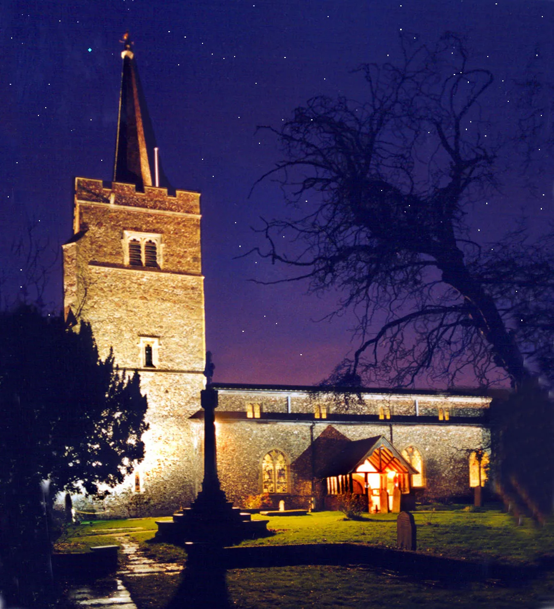
Aldenham
Aldenham — village and civil parish in Hertfordshire, England.
 Flagship📷 8
Towns & cities · London
Byfleet
Byfleet — inland island village forming a suburb of Woking in Surrey, England.
 Flagship📷 10
Towns & cities · London
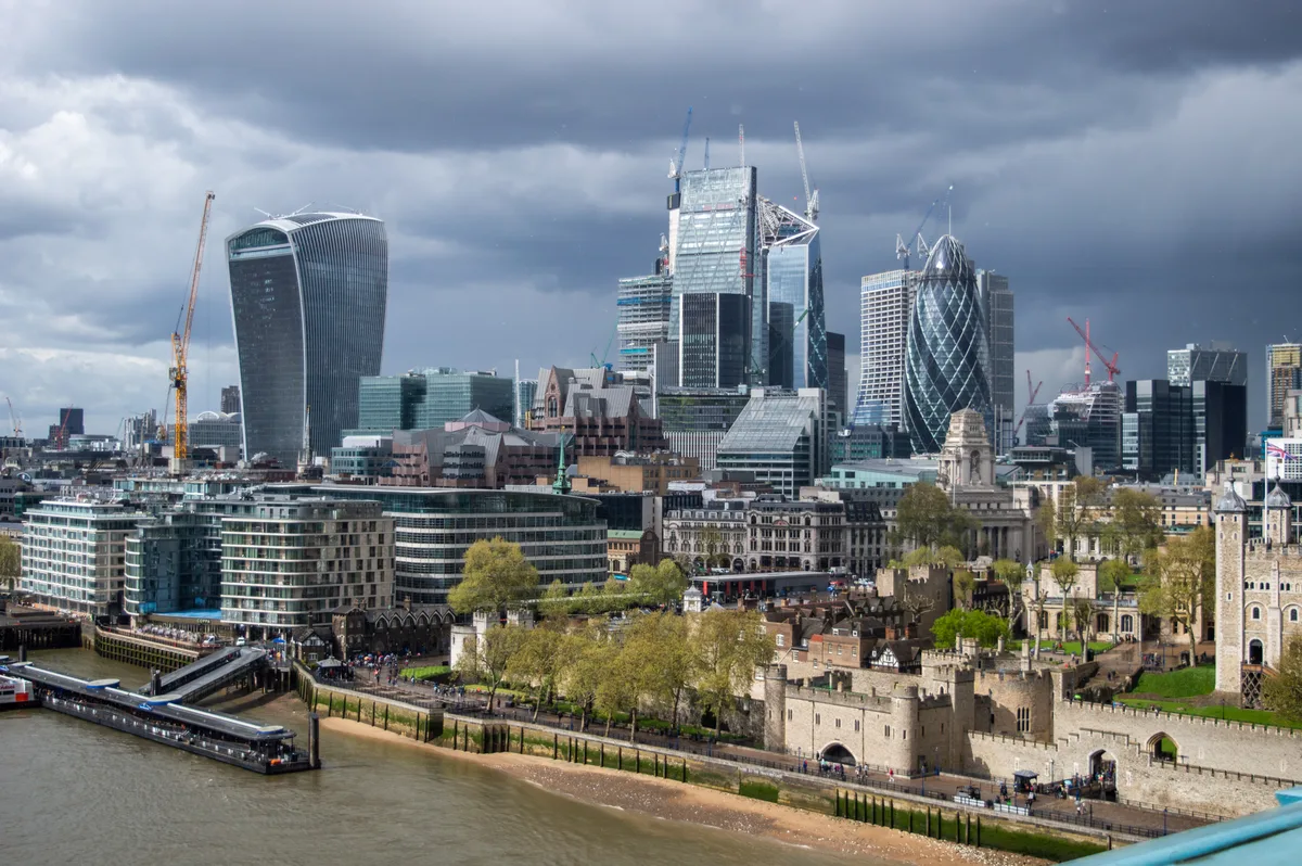
City of London
City of London — city, ceremonial county and local government district containing the historic centre and the primary central business district in the London Region in England, UK.
 Flagship📷 10
Towns & cities · London
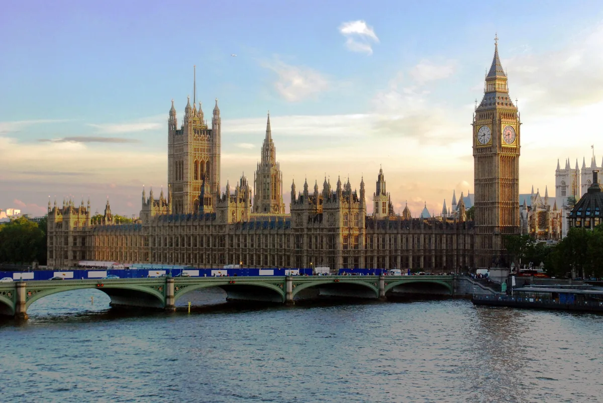
City of Westminster
City of Westminster — city and borough in London, England, UK.
Frequently asked questions
- Where is Chipperfield?
- Chipperfield is in Hertfordshire, London, United Kingdom (postcode WD4), in the parish of Chipperfield.
- What is Chipperfield?
- Chipperfield — village and civil parish in the Dacorum district of Hertfordshire, England.
- How do I get to Chipperfield?
- The nearest railway station is Kings Langley, about 3.6 km away. Drivers can use postcode WD4.
- Is Chipperfield a protected site?
- Yes — Chipperfield is part of the Chilterns National Landscape (AONB).
- Is Chipperfield free to visit?
- Yes, Chipperfield is free to enter.
- How do I get to Chipperfield?
- The nearest railway station is Kings Langley, about 3.6 km away. Drivers can navigate to postcode WD4.