Mountains & hills · South East England
Chilbolton Down
Chilbolton Down — mountain in england south east. Elevation: 139 m.

Stuart Logan — CC BY-SA 2.0 via Wikimedia Commons licence
Plan your visit
- Typical visit
- 3 h–8 h
- Best time of year
- Late spring – early autumn (May–Oct)
About
Chilbolton Down is a mountain located in england south east. Elevation: 139 m. A named British peak recorded in OpenStreetMap. Peaks are typically named on Ordnance Survey 1:50k mapping.
Photo gallery
Place summary
Chilbolton Down is a mountain located in South-East England. It offers expansive views of the surrounding landscape and is characterised by its natural beauty. The area is popular for outdoor activities, including walking and wildlife observation, attracting visitors looking for a tranquil setting. The terrain provides a variety of routes suitable for different skill levels.
AI-generated from the structured facts on this page (operator, designation, listing, era). Not a substitute for visiting.
- Coordinates
- 51.1254, -1.4358
Sources
- osm: n10009744549 (ODbL)
Other places nearby
Loading nearby places…
Nearby
📷 5Campsites · South East England
Leckford Lodges
Leckford Lodges — a campsite in england south east.
 📷 5
📷 5Restaurants · South East England
Clos Du Marquis
Clos Du Marquis — a restaurant in england south east.
 📷 5
📷 5Historic houses · South East England
Leckford Down Farm
Leckford Down Farm — a historic house in england-south-east, United Kingdom.
 📷 5
📷 5Vineyards · South East England
Woolbury
Woolbury — a UK vineyard in england south east, producing English or Welsh wine from cool-climate grape varieties.
 📷 5
📷 5Archaeological sites · South East England
Woolbury Rings
Woolbury Rings — a archaeological in england-south-east, United Kingdom.
📷 5Mountains & hills · South East England
Stockbridge Down
Stockbridge Down — mountain in england south east. Elevation: 161 m.
Where to eat & stay near Chilbolton Down
Places to stay
📷 5Campsites · South East England
Leckford Lodges
Leckford Lodges — a campsite in england south east.
 📷 5
📷 5Hotels · South East England
The Grosvenor
The Grosvenor — a hotel in england south east.
 📷 5
📷 5Caravan parks · South East England
Greenacres
Greenacres — a caravan park in england south east.
 📷 5
📷 5Campsites · South East England
Rowbury Farm Camping
Rowbury Farm Camping — a campsite in england south east.
 📷 4
📷 4Campsites · South East England
Stockbridge View Campsite
Stockbridge View Campsite — a campsite in england south east.
 📷 5
📷 5Hotels · South East England
Lainston House Hotel
Lainston House Hotel — a hotel in england south east.
Places to eat & drink
📷 5Restaurants · South East England
Clos Du Marquis
Clos Du Marquis — a restaurant in england south east.
 📷 5
📷 5Historic pubs · South East England
Vine Inn
Vine Inn in England South East, United Kingdom.
 📷 5
📷 5Historic pubs · South East England
White Lion Public House
White Lion Public House in England South East, United Kingdom.
 📷 5
📷 5Historic pubs · South East England
The Swan Inn
The Swan Inn in England South East, United Kingdom.
 📷 5
📷 5Historic pubs · South East England
The Tally Ho Public House
The Tally Ho Public House in England South East, United Kingdom.
 📷 5
📷 5Restaurants · South East England
Tycoon
Tycoon — a restaurant in england south east.
More mountains in this region
 📷 5
📷 5Mountains & hills · South East England
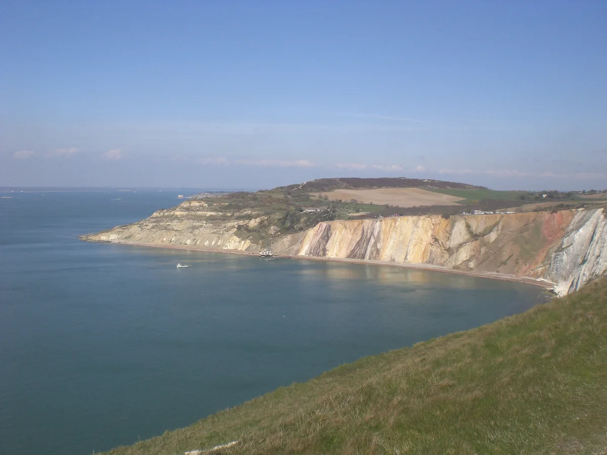
Alum Bay
Alum Bay is a mountain or hill in the United Kingdom.
 📷 5
📷 5Mountains & hills · South East England
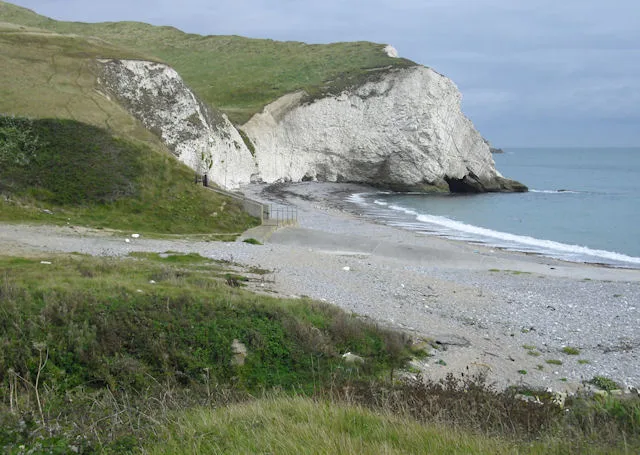
Arish Mell
Arish Mell — bay in Dorset, England.
 📷 5
📷 5Mountains & hills · South East England
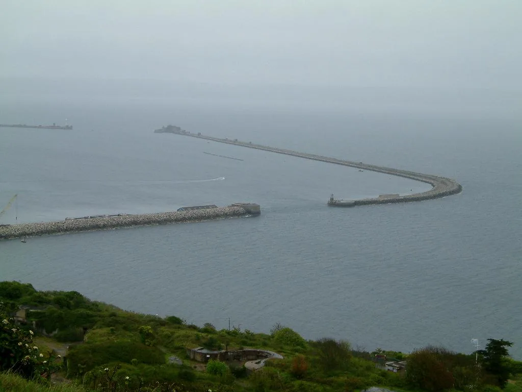
Balaclava Bay
Balaclava Bay — bay in Dorset, England.
 📷 5
📷 5Mountains & hills · South East England
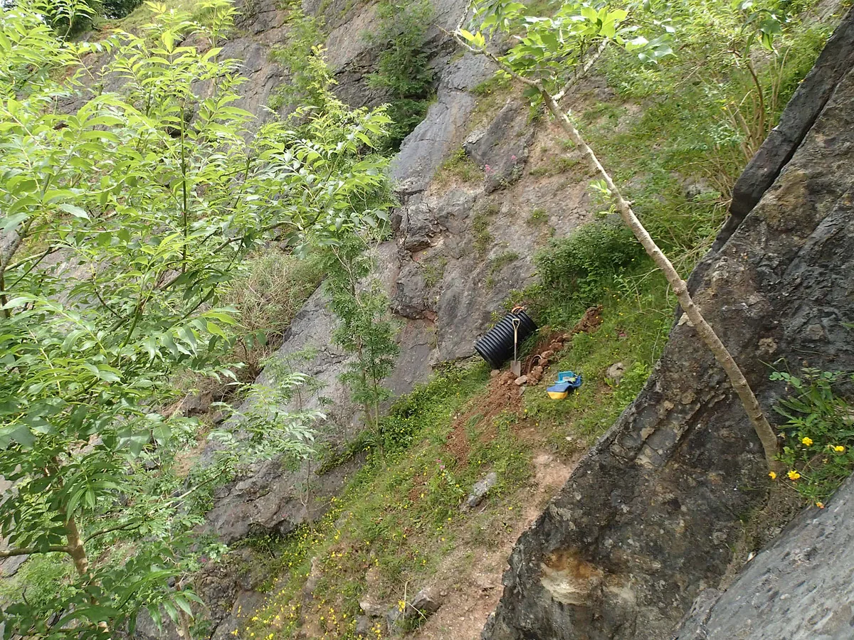
Balch Cave
Balch Cave — Cave in Somerset, England.
Frequently asked questions
- Where is Chilbolton Down?
- Chilbolton Down is in South-East England, United Kingdom.
- What is Chilbolton Down?
- Chilbolton Down — mountain in england south east. Elevation: 139 m.
- How do I get to Chilbolton Down?
- Its coordinates are 51.1254°, -1.4358°.