
Towns & cities · South East England
Chicklade
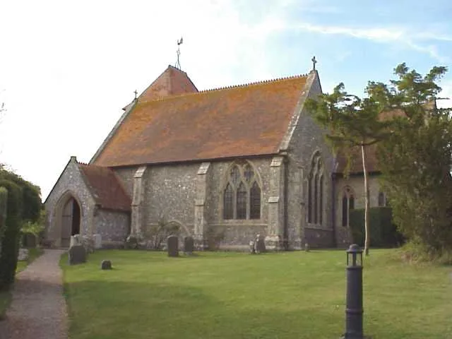
Chicklade — village in Wiltshire, England, UK.

Wikimedia Commons contributors — see linked file page for photographer and licence licence

Plan your visit
- Typical visit
- 3 h–6 h
- Nearest railway station
- Tisbury · 6.4 km
- Free entry
- Family-friendly
- Dog-friendly
About
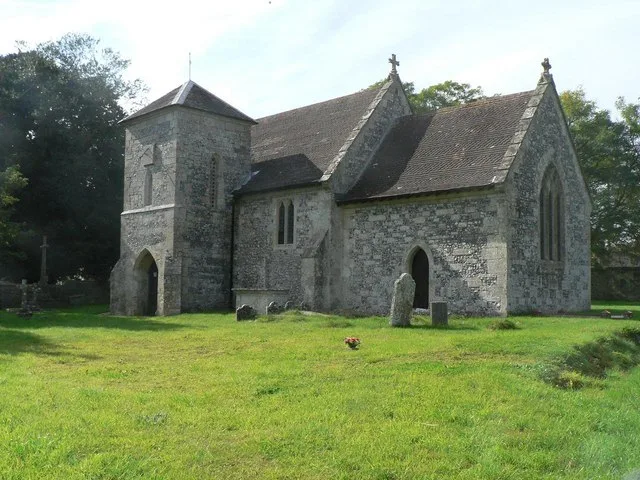
Chicklade is a town, city, village or settlement in the United Kingdom. Recent population estimates put it at around 77 people. Address: SP3. Wikidata describes it as: "village in Wiltshire, England, UK". Coordinates: 51.1096°, -2.1271°.
Photo gallery
Protected designations
- Site of Special Scientific Interest: River Avon System SSSI
- Area of Outstanding Natural Beauty: Cranborne Chase & West Wiltshire Downs
Designations sourced from Natural England open data under OGL v3.
From the Wikipedia article
Chicklade is a small village and civil parish in Wiltshire, South West England. The village is on the A303 road, about 7 miles (11 km) south of Warminster. The parish includes the hamlet of Upper Pertwood. The Great Ridge Wood, formerly also known as Chicklade Wood, is less than a mile north of the village, just over the parish boundary.
Excerpt from Wikipedia under CC BY-SA 4.0. See the source article linked in Sources below.
Background
History
John Marius Wilson's Imperial Gazetteer of England and Wales (1870–72) describes Chicklade as follows: <blockquote>CHICKLADE, a parish in Tisbury district, Wilts; 1¼ mile N by E of Hindon, and 5 S by-W of Heytesbury r. station. Post town, Hindon, under Salisbury. Acres, 1,039. Real property, with Hindon, Berwick-St. Leonard, and Fonthill-Gifford, £5,111. Pop., 143. Houses, 23. The property is divided among a few. The surface is hilly. The living is a rectory in the diocese of Salisbury. Value, £230. Patron, the Marquis of Bath. The church is good.</blockquote> On 22 October 1963 the prototype BAC One-Eleven aircraft G-ASHG flown by Mike Lithgow entered a deep stall and crashed near…
Sourced from Wikipedia under CC BY-SA 4.0.
- Coordinates
- 51.1096, -2.1271
- District
- Wiltshire
- Parish
- Chicklade
- Postcode
- SP3
- Parliamentary constituency
- Salisbury
- Population
- 77
- Nearest railway station
- Tisbury — 6.4 km
- Official site
- apps.wiltshire.gov.uk
Sources
- wikidata: Q765969 (CC0)
- wikipedia: Chicklade (CC BY-SA 4.0)
- commons: All Saints, Chicklade - geograph.org.uk - 458184.jpg (CC BY-SA 4.0)
Other places nearby
Loading nearby places…
Nearby
Campsites · South East England
Martha's Down
Martha's Down — a campsite in england south east.
 📷 5
📷 5Memorials & monuments · South East England
Hindon War Memorial
Hindon War Memorial — Grade II listed building-listed memorial in england-south-east, United Kingdom.
Hotels · South East England
The Lamb
The Lamb — a hotel in england south east.
 📷 5
📷 5Historic churches · South East England
St Leonard's Church, Berwick St Leonard
St Leonard's Church, Berwick St Leonard — church in Berwick St Leonard, Wiltshire, England, UK.
 📷 5
📷 5Towns & cities · South East England
Fonthill Gifford
Fonthill Gifford — village and civil parish in Wiltshire, United Kingdom.
 📷 5
📷 5Historic bridges · South East England
Bridge Across Fonthill Lake
Bridge Across Fonthill Lake — Grade II listed building-listed bridge in england-south-east, United Kingdom.
More towns in this region
 Flagship📷 10
Towns & cities · South East England
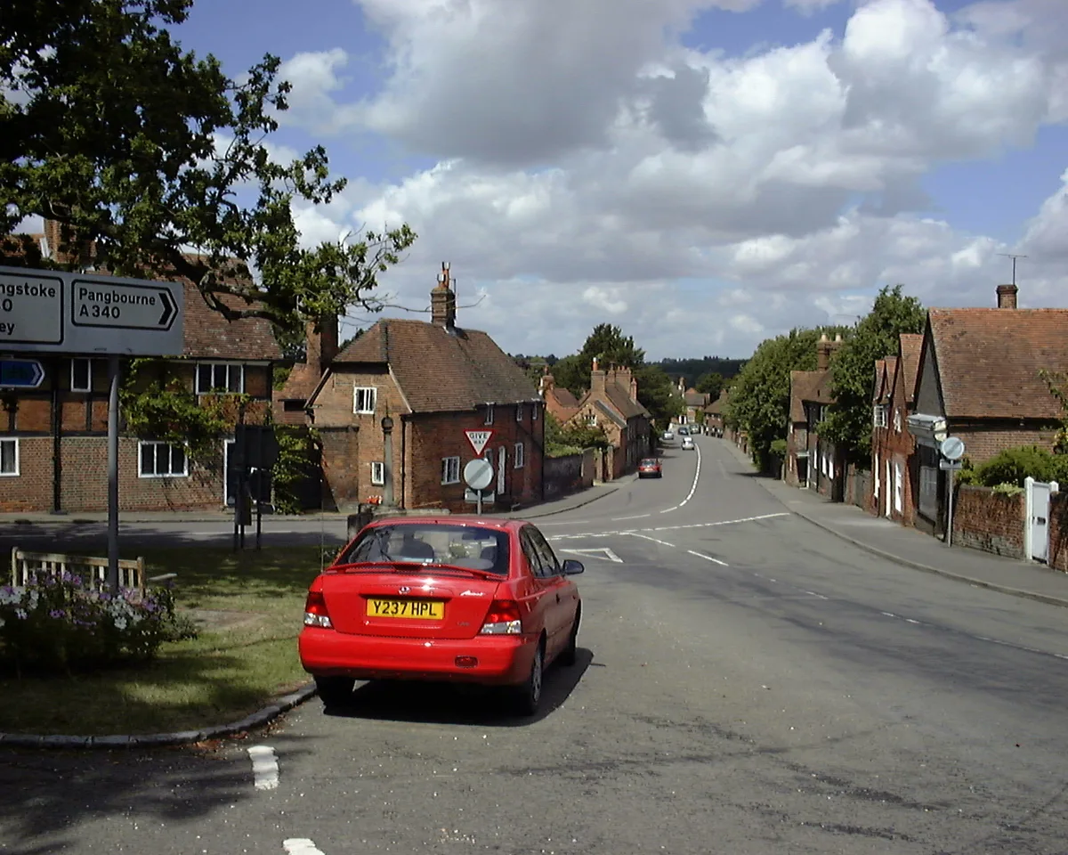
Aldermaston
Aldermaston — village and civil parish in West Berkshire in England, UK.
 Flagship📷 10
Towns & cities · South East England
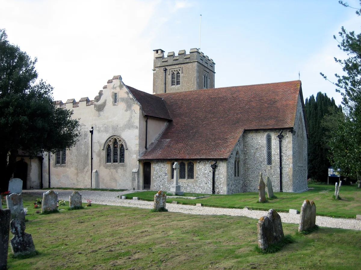
Aldingbourne
Aldingbourne — village and civil parish in Arun, West Sussex, UK.
 Flagship📷 10
Towns & cities · South East England
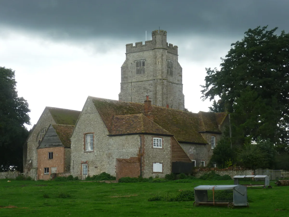
Aldington
Aldington — village and civil parish in the Ashford District of Kent, England.
 Flagship📷 10
Towns & cities · South East England
Aldworth
Aldworth — village and civil parish in the English county of Berkshire.
Frequently asked questions
- Where is Chicklade?
- Chicklade is in South-East England, United Kingdom (postcode SP3), in the parish of Chicklade.
- Is Chicklade a protected site?
- Yes — Chicklade is part of the River Avon System SSSI Site of Special Scientific Interest and the Cranborne Chase & West Wiltshire Downs National Landscape (AONB).
- Is Chicklade free to visit?
- Yes, Chicklade is free to enter.
- How do I get to Chicklade?
- The nearest railway station is Tisbury, about 6.4 km away. Drivers can navigate to postcode SP3.