
Museums · South East England
Chesham
In or near Bellingdon.
Chesham ( CHESH-əm, locally CHESS-əm or CHEZ-əm) is a market town and civil parish in Buckinghamshire, England, United Kingdom, 11 miles (18 km) south-east of the county town of Aylesbury, about 26

Ian S — CC BY-SA 2.0 via Wikimedia Commons licence

Plan your visit
- Typical visit
- 1.5 h–3 h
- Best time of year
- Year-round
- Nearest railway station
- Chesham · 0.8 km
- Free entry
- Family-friendly
- Limited wheelchair access
Getting there & planning your visit
To visit Chesham Museum, the nearest railway station is Chesham, located 0.8 km away. The postcode for the museum is HP5 2NN. Entry is free, but wheelchair accessibility is limited.
About
Chesham ( CHESH-əm, locally CHESS-əm or CHEZ-əm) is a market town and civil parish in Buckinghamshire, England, United Kingdom, 11 miles (18 km) south-east of the county town of Aylesbury, about 26 miles (42 km) north-west of central London, and part of the London commuter belt. It is in the Chess Valley, surrounded by farmland. The earliest records of Chesham as a settlement are from the second half of the 10th century, although there is archaeological evidence of people in this area from around 8000 BC. Henry III granted a royal charter for a weekly market in 1257. Chesham is known for its four Bs — boots, beer, brushes and Baptists. In the face of fierce competition from both home and abroad during the later 19th and early 20th centuries, the three traditional industries rapidly declined. The ready availability of skilled labour encouraged new industries to the town both before and after the Second World War. Today, employment in the town is provided mainly by small businesses engaged in light industry, technology and professional services. From the early part of the 20th century, Chesham has experienced considerable expansion, with new housing developments and civic infrastructure. Chesham has become a commuter town with improved connection to London via the London Underground and road networks. The town centre has been progressively redeveloped since the 1960s and has been pedestrianised since the 1990s. The population at the 2021 census was 23,008.
Photo gallery
Official information
Chesham Mosque is a community center that provides a space for prayer, learning, and support. Established in 2005, it serves hundreds of worshippers daily and offers various services including daily prayers and Quran classes.
Protected designations
- Area of Outstanding Natural Beauty: Chilterns
Designations sourced from Natural England open data under OGL v3.
From the Wikipedia article
Chesham ( CHESH-əm, locally CHESS-əm or CHEZ-əm) is a market town and civil parish in Buckinghamshire, England, United Kingdom, 11 miles (18 km) south-east of the county town of Aylesbury, about 26 miles (42 km) north-west of central London, and part of the London commuter belt. It is in the Chess Valley, surrounded by farmland. The earliest records of Chesham as a settlement are from the second half of the 10th century, although there is archaeological evidence of people in this area from around 8000 BC. Henry III granted a royal charter for a weekly market in 1257. Chesham is known for its four Bs — boots, beer, brushes and Baptists. In the face of fierce competition from both home and abroad during the later 19th and early 20th centuries, the three traditional industries rapidly declined. The ready availability of skilled labour encouraged new industries to the town both before and after the Second World War. Today, employment in the town is provided mainly by small businesses engaged in light industry, technology and professional services. From the early part of the 20th century, Chesham has experienced considerable expansion, with new housing developments and civic infrastructure. Chesham has become a commuter town with improved connection to London via the London Underground and road networks. The town centre has been progressively redeveloped since the 1960s and has been pedestrianised since the 1990s. The population at the 2021 census was 23,008.
Excerpt from Wikipedia under CC BY-SA 4.0. See the source article linked in Sources below.
Background
History
There is archaeological evidence of the earliest settlement during the Late Mesolithic period around 5000 BC in East Street, Chesham where a large quantity of flint tools were found. The earliest farming evidence from the Neolithic era around 2500 BC. Bronze Age tribes settled in the valley around 1800 BC and they were succeeded by Iron Age Belgic people of the Catuvellauni tribe around 500 BC. Between 150 and 400 AD, there is evidence of Romano-British farming, and nearby at Latimer, there is archaeological evidence of a Roman villa and the planting of grapevines. However, the area was then deserted until the Saxon period around the 7th century. Contrary to popular belief, the town is not…
Description
The Domesday Book records that there were three manors in Cestreham and one at nearby Latimer. William the Conqueror shared out the estates between four of his dependants. The vast majority of land was granted to Hugh de Bolebec and smaller parcels to Odo, Bishop of Bayeux, Toustain Mantel and Alsi. Before the 13th century, the three Cestreham manors were known as Chesham Higham, Chesham Bury and Chesham Bois. In the 14th century they were first recorded as 'the manors of Great Chesham'. Collectively they extended beyond the current Chesham town boundary. Together with the manor at Latimer they were held by the Earls of Oxford and Surrey. During the 16th century Greater Chesham was owned by…
Sourced from Wikipedia under CC BY-SA 4.0.
- Coordinates
- 51.7120, -0.6120
- District
- Buckinghamshire
- Parish
- Chesham
- Postcode
- HP5 2NN
- Parliamentary constituency
- Chesham and Amersham
- Phone
- 01494 772 065
- Nearest railway station
- Chesham — 0.8 km
- Official site
- www.cheshammosque.org.uk
Sources
- wikipedia: Chesham (CC BY-SA 4.0)
Other places nearby

Chesham Mosque
Historic churches · 0.2 km
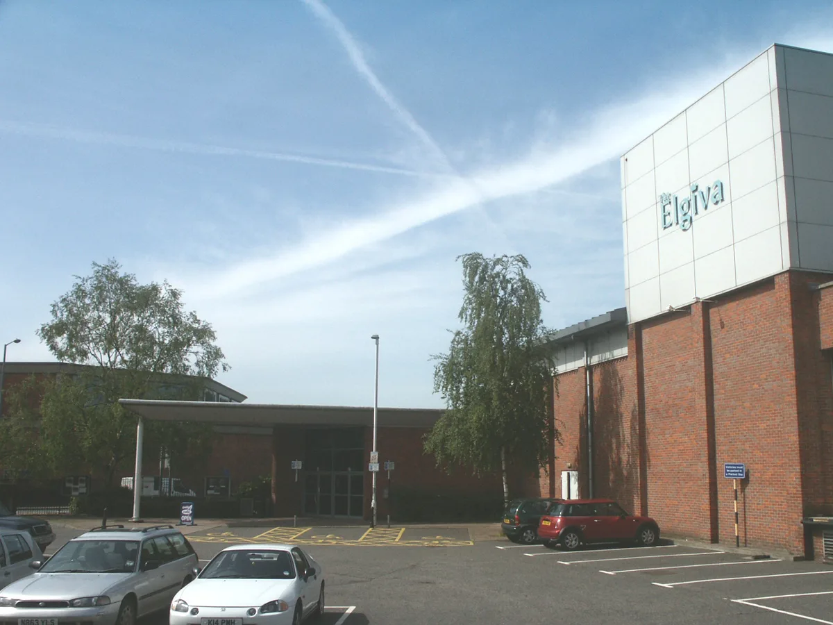
The Elgiva
Theatres · 0.4 km

The Elgiva
Open-air theatres · 0.4 km

Elgiva Hall
Theatres · 0.5 km

Chesham War Memorial, Including The Surrounding Stone Kerb And Outer Fence
Memorials & monuments · 0.6 km

Chesham tube station
Historic houses · 0.8 km

Temperance Hall / The Little Theatre by the Park
Theatres · 0.9 km

Chesham Clock Tower
Memorials & monuments · 0.9 km
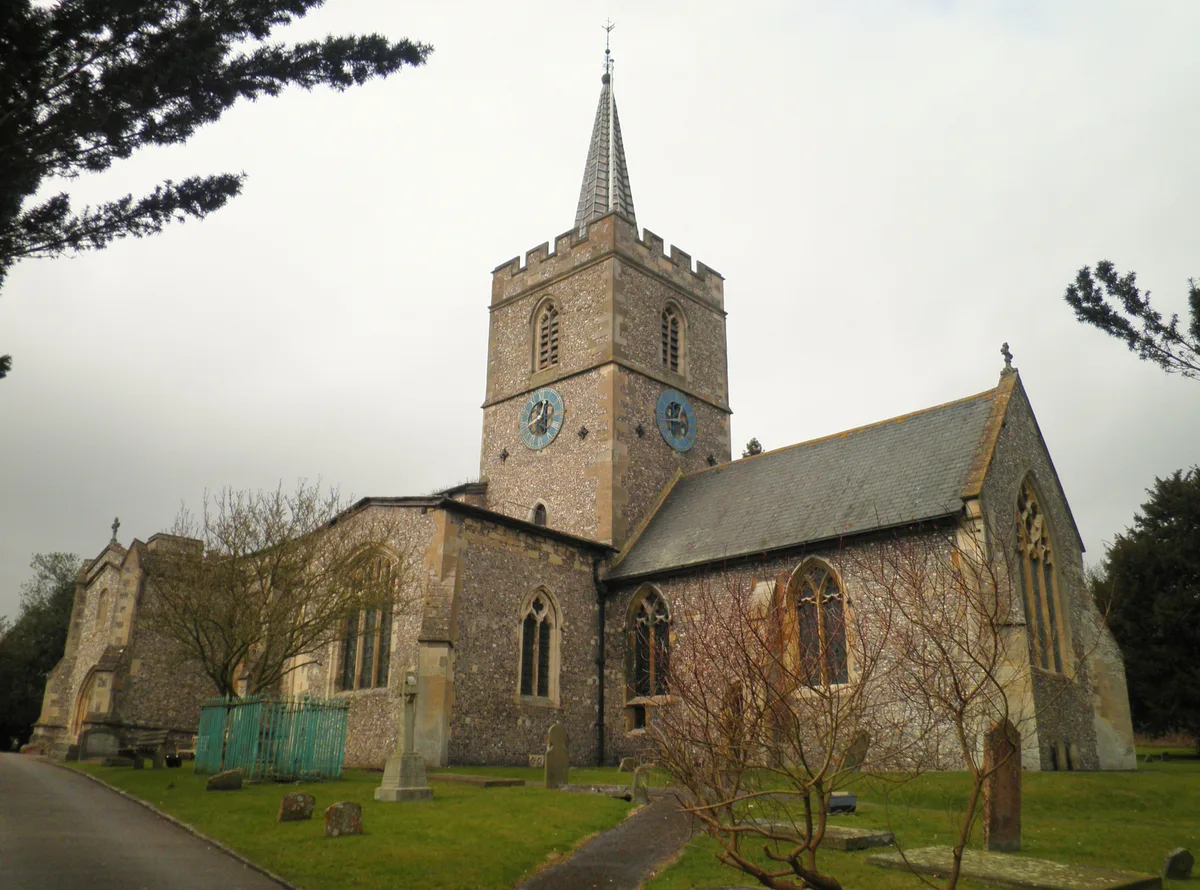
St. Mary's Church, Chesham
Historic churches · 1.0 km

Benjamin Grove Memorial
Memorials & monuments · 1.2 km

Chesham Museum
Museums · 1.2 km

Sands Bank
Wildlife reserves · 1.4 km
Nearby
📷 5Historic churches · South East England
Chesham Mosque
Chesham Mosque — a mosque in england-west-midlands, United Kingdom.
📷 3📷 5Open-air theatres · South East England
The Elgiva
The Elgiva — a open-air theatre in england west midlands.
📷 5Theatres · South East England
Elgiva Hall
Elgiva Hall — a cinema heritage in england-west-midlands, United Kingdom.
📷 3Memorials & monuments · South East England
Chesham War Memorial, Including The Surrounding Stone Kerb And Outer Fence
Chesham War Memorial, Including The Surrounding Stone Kerb And Outer Fence — Grade II listed building-listed memorial in england-west-midlands, United Kingdom.
📷 5Historic houses · South East England
Chesham tube station
Chesham tube station — a Grade II-listed historic house in england-west-midlands, United Kingdom.
Where to eat & stay near Chesham
Places to stay
 📷 5
📷 5Campsites · South East England
Braid Wood Scout & Guide Activity Centre
Braid Wood Scout & Guide Activity Centre — a campsite in england west midlands.
 📷 7
📷 7Hotels · South East England
Kings Arms Hotel
Kings Arms Hotel — a hotel in england west midlands.
 📷 7
📷 7 📷 3
📷 3 📷 5
📷 5Campsites · South East England
Norcott Campsite - Camping In The Orchard
Norcott Campsite - Camping In The Orchard — a campsite in england west midlands.
 📷 5
📷 5Places to eat & drink
 📷 5
📷 5Historic pubs · East of England
The Swan Public House
The Swan Public House in England East, United Kingdom.
 📷 7
📷 7 📷 7
📷 7Restaurants · South East England
The Griffin
The Griffin — a restaurant in england west midlands.
 📷 5
📷 5Historic pubs · South East England
Full Moon Public House
Full Moon Public House in England East, United Kingdom.
 📷 5
📷 5Historic pubs · East of England
The Green Dragon, Flaunden
The Green Dragon, Flaunden in England East, United Kingdom.
 📷 5
📷 5Historic pubs · East of England
The Bricklayer Arms Public House
The Bricklayer Arms Public House in England East, United Kingdom.
More museums in this region
 📷 5
📷 5Museums · South East England
Coldrum Long Barrow
Coldrum Long Barrow — neolithic chambered long barrow near Trottiscliffe, Kent, England, UK.
 📷 5
📷 5Museums · South East England
Guildford House
Guildford House — house in Guildford, Surrey, England, UK.
 📷 5
📷 5Museums · South East England
Huguenot Museum
Huguenot Museum — museum in Rochester, England, UK.
 📷 5
📷 5Museums · South East England
Medway megaliths
Medway megaliths — group of long barrows in Kent, England.
Frequently asked questions
- Where is Chesham?
- Chesham is in South-East England, United Kingdom (postcode HP5 2NN), in the parish of Chesham.
- What is Chesham?
- Chesham ( CHESH-əm, locally CHESS-əm or CHEZ-əm) is a market town and civil parish in Buckinghamshire, England, United Kingdom, 11 miles (18 km) south-east of the county town of Aylesbury, about 26
- How do I get to Chesham?
- The nearest railway station is Chesham, about 0.8 km away. The nearest town is Bellingdon. Drivers can use postcode HP5 2NN.
- Is Chesham a protected site?
- Yes — Chesham is part of the Chilterns National Landscape (AONB).
- Is Chesham free to visit?
- Yes, Chesham is free to enter.
- How do I get to Chesham?
- The nearest railway station is Chesham, about 0.8 km away. Drivers can navigate to postcode HP5 2NN.