Mountains & hills · South East England
Cheesefoot Head
Cheesefoot Head — Named summit at 176 m.

Wikimedia Commons contributors — see linked file page for photographer and licence licence
.jpg)
Plan your visit
- Typical visit
- 3 h–8 h
- Best time of year
- Late spring – early autumn (May–Oct)
- Nearest railway station
- Winchester · 5.8 km
- Free entry
- Dog-friendly
About
Cheesefoot Head is a named summit in the United Kingdom. Wikidata describes it as: "Named summit at 176 m.". Coordinates: 51.0461°, -1.2437°.
Photo gallery
Protected designations
- Site of Special Scientific Interest: River Test SSSI
- Site of Special Scientific Interest: River Itchen - 2000227 SSSI
Designations sourced from Natural England open data under OGL v3.
From the Wikipedia article
Cheesefoot Head ( CHESS-fuut) is a large natural amphitheatre (also known as Matterley Bowl) and beauty spot just outside Winchester, England. It is situated on the A272 road (South Downs Way). There are three bowl barrows on the site. The east, south and west walls of the amphitheatre are a 13.4-hectare (33-acre) biological Site of Special Scientific Interest (SSSI). The SSSI is a steeply sloping area of chalk grassland, which is grazed by cattle and rabbits. There is a full range of downland grass species, especially fescues and bents. Herbs include dwarf thistle and fragrant orchid. During the Second World War boxing events were held here for the entertainment of American troops stationed locally, and prior to D-Day, General Eisenhower addressed those troops. The site has hosted a number of music festivals and concerts over the years, including Boomtown since 2010, Creamfields in its inaugural year of 1998, Homelands between 1999 and 2005, Glade in 2009. Because of this long history with a number of iconic events, many consider the grounds to be firmly entrenched in the roots of many notable acts and genres, especially dance and electronic music. The adjacent motocross track within the Matterley Basin has in the past held the British round of the World Championship, as well as the Motocross of Nations. The site has also hosted the Tough Mudder endurance test series.
Excerpt from Wikipedia under CC BY-SA 4.0. See the source article linked in Sources below.
- Coordinates
- 51.0461, -1.2437
- County
- Hampshire
- District
- Winchester
- Parish
- Itchen Valley
- Postcode
- SO21 1HW
- Parliamentary constituency
- Winchester
- Nearest railway station
- Winchester — 5.8 km
- Official site
- www.boomtownfair.co.uk
Sources
- osm: n3739312539 (ODbL)
- wikipedia: Cheesefoot Head (CC BY-SA 4.0)
- commons: The Matterley Bowl (geograph 2836792).jpg (CC BY-SA 4.0)
Other places nearby
Loading nearby places…
Nearby
 📷 5
📷 5Natural landmarks · South East England
Red Rash Inn
Red Rash Inn — a other in england-south-east, United Kingdom.
📷 5Natural landmarks · South East England
Acid Leak
Acid Leak — a other in england-south-east, United Kingdom.
📷 5Museums · South East England
The Museum of the Last Fragments
The Museum of the Last Fragments — a museum in england-south-east, United Kingdom.
 📷 5
📷 5Natural landmarks · South East England
Free Radicals
Free Radicals — a other in england-south-east, United Kingdom.
📷 5Natural landmarks · South East England
Ye Olde Cosmic Junkyard
Ye Olde Cosmic Junkyard — a other in england-south-east, United Kingdom.
📷 5Natural landmarks · South East England
The Fools Leap
The Fools Leap — a other in england-south-east, United Kingdom.
More mountains in this region
 📷 5
📷 5Mountains & hills · South East England
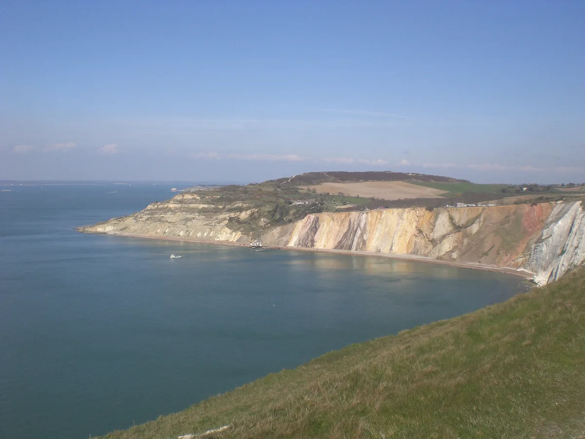
Alum Bay
Alum Bay is a mountain or hill in the United Kingdom.
 📷 5
📷 5Mountains & hills · South East England
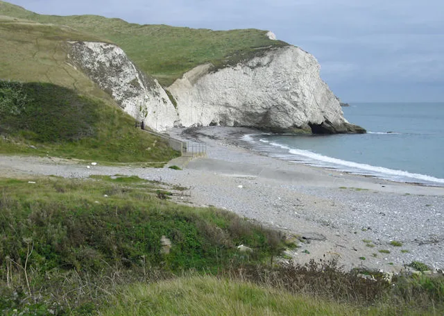
Arish Mell
Arish Mell — bay in Dorset, England.
 📷 5
📷 5Mountains & hills · South East England
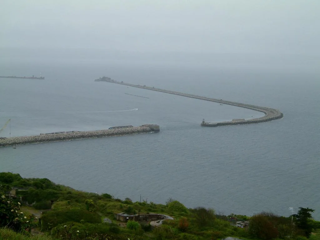
Balaclava Bay
Balaclava Bay — bay in Dorset, England.
 📷 5
📷 5Mountains & hills · South East England
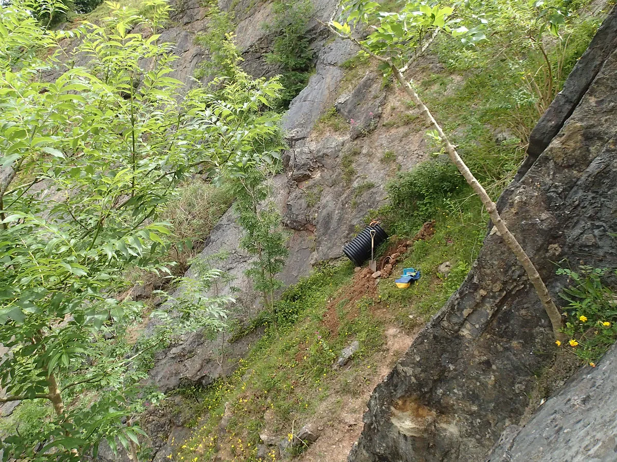
Balch Cave
Balch Cave — Cave in Somerset, England.
Frequently asked questions
- Where is Cheesefoot Head?
- Cheesefoot Head is in Hampshire, South-East England, United Kingdom (postcode SO21 1HW), in the parish of Itchen Valley.
- Is Cheesefoot Head a protected site?
- Yes — Cheesefoot Head is part of the River Test SSSI Site of Special Scientific Interest and the River Itchen - 2000227 SSSI Site of Special Scientific Interest.
- Is Cheesefoot Head free to visit?
- Yes, Cheesefoot Head is free to enter.
- How do I get to Cheesefoot Head?
- The nearest railway station is Winchester, about 5.8 km away. Drivers can navigate to postcode SO21 1HW.