
Museums · South East England
Charlwood
In or near Rusper.
Charlwood is a village and civil parish in the Mole Valley district of Surrey, England. It is immediately north-west of London Gatwick Airport in West Sussex, close west of Horley and north of Crawley

JThomas — CC BY-SA 2.0 via Wikimedia Commons licence

Plan your visit
- Typical visit
- 1.5 h–3 h
- Best time of year
- Year-round
- Nearest railway station
- Gatwick Airport · 4.3 km
- Family-friendly
- Limited wheelchair access
Getting there & planning your visit
To visit Charlwood museum, the nearest railway station is Gatwick Airport, located 4.3 km away. The postcode for navigation is RH6 0BW. Please note that wheelchair accessibility is limited.
About
Charlwood is a village and civil parish in the Mole Valley district of Surrey, England. It is immediately north-west of London Gatwick Airport in West Sussex, close west of Horley and north of Crawley. The historic county boundary between Surrey and Sussex ran to the south of Gatwick Airport. Boundaries were reformed in 1974 with the county boundary between Surrey and West Sussex, delineated by the Sussex Border Path, running along the northern perimeter of the airport, and the southern extent of Charlwood.
Photo gallery
Summary from the official site
Charlwood is a village that features a range of local statistics and demographic information. It is part of the Neighbourhood Statistics Service, which provides insights into various aspects of the community, including ethnicity, occupation, and health.
Protected designations
- Area of Outstanding Natural Beauty: High Weald
- Area of Outstanding Natural Beauty: Surrey Hills
Designations sourced from Natural England open data under OGL v3.
From the Wikipedia article
Charlwood is a village and civil parish in the Mole Valley district of Surrey, England. It is immediately north-west of London Gatwick Airport in West Sussex, close west of Horley and north of Crawley. The historic county boundary between Surrey and Sussex ran to the south of Gatwick Airport. Boundaries were reformed in 1974 with the county boundary between Surrey and West Sussex, delineated by the Sussex Border Path, running along the northern perimeter of the airport, and the southern extent of Charlwood.
Excerpt from Wikipedia under CC BY-SA 4.0. See the source article linked in Sources below.
- Coordinates
- 51.1560, -0.2230
- County
- Surrey
- District
- Mole Valley
- Parish
- Charlwood
- Postcode
- RH6 0BW
- Parliamentary constituency
- Dorking and Horley
- Nearest railway station
- Gatwick Airport — 4.3 km
- Official site
- web.archive.org
Sources
- wikipedia: Charlwood (CC BY-SA 4.0)
Other places nearby
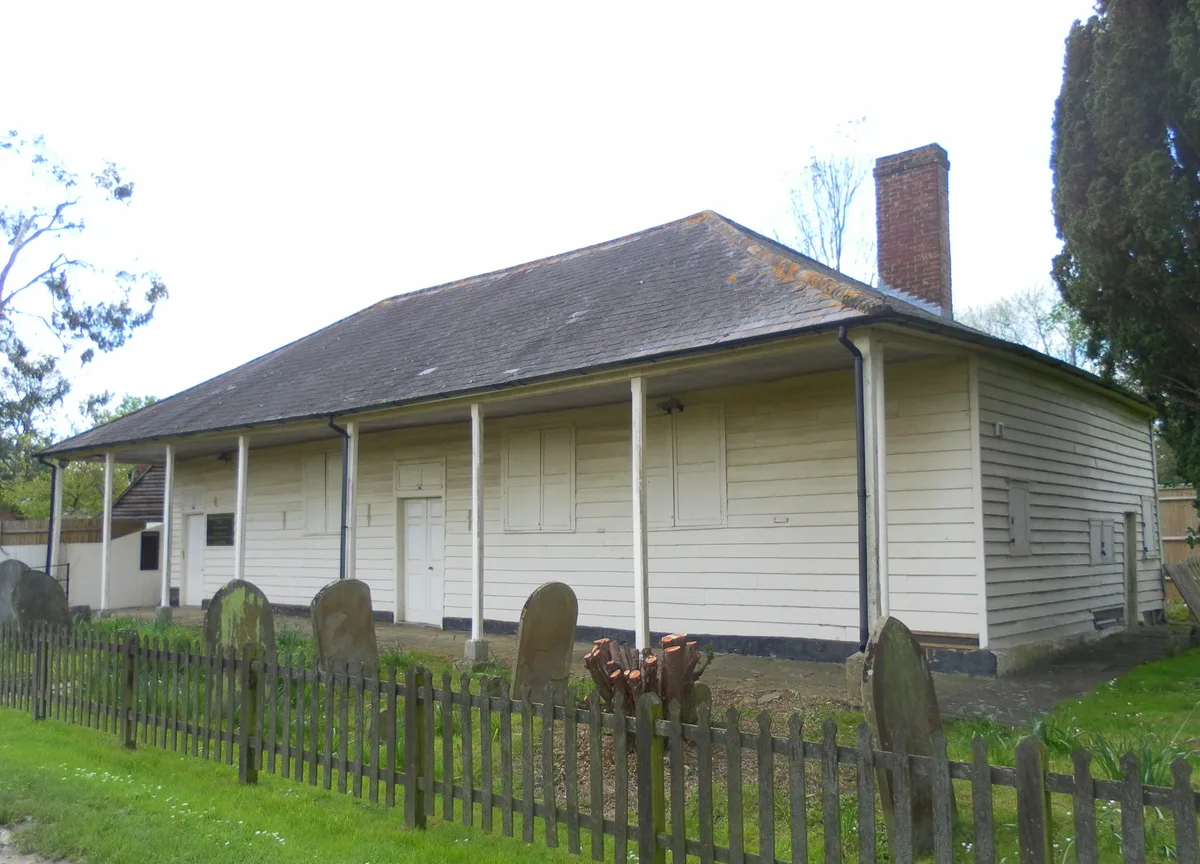
Providence Chapel, Charlwood
Historic churches · 0.3 km
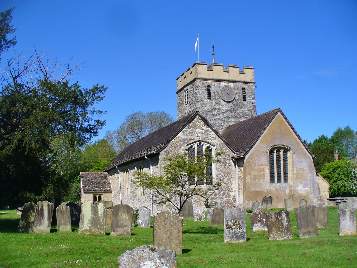
Church of St Nicholas, Charlwood
Historic churches · 0.3 km

Gatwick Aviation Museum
Museums · 0.7 km

Charlwood Place
Manor houses · 0.7 km

Lowfield Heath Windmill
Windmills · 1.0 km
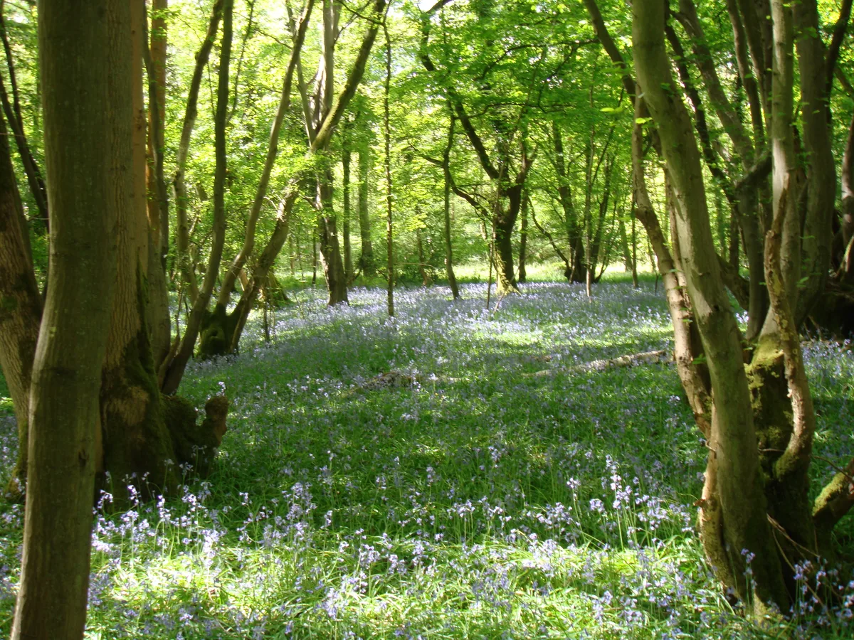
Glover's Wood
Archaeological sites · 1.5 km

Amphitheatre
Theatres · 1.8 km

Charlwood House
Historic houses · 1.9 km

Trivelles Gatwick Hotel
Hotels · 2.7 km

Hookwood Manor
Manor houses · 2.7 km

Hookwood
Villages · 2.8 km

Apple Tree Centre
Historic churches · 3.0 km
Nearby
📷 5Historic churches · South East England
Providence Chapel, Charlwood
Providence Chapel, Charlwood — church in Mole Valley, UK.
📷 5Historic churches · South East England
Church of St Nicholas, Charlwood
Church of St Nicholas, Charlwood — parish church of Charlwood, Surrey, England, UK.
📷 5Museums · South East England
Gatwick Aviation Museum
Gatwick Aviation Museum — a museum in South East England, United Kingdom.
📷 5Manor houses · South East England
Charlwood Place
Charlwood Place — a manor in South East England, United Kingdom.
📷 5Windmills · South East England
Lowfield Heath Windmill
Lowfield Heath Windmill is a windmill in the United Kingdom.
📷 5Archaeological sites · South East England
Glover's Wood
Glover's Wood — woodland in Surrey, England.
Where to eat & stay near Charlwood
Places to stay
📷 5Hotels · South East England
Trivelles Gatwick Hotel
Trivelles Gatwick Hotel — a hotel in england south east. 4-star. Brand: Trivelles.
 📷 7
📷 7Hotels · South East England
Hampton by Hilton London Gatwick Airport
Hampton by Hilton London Gatwick Airport — a hotel in england south east. Brand: Hampton.
 📷 5
📷 5Hotels · South East England
Premier Inn Gatwick North Terminal
Premier Inn Gatwick North Terminal — a hotel in england south east. Brand: Premier Inn.
 📷 5📷 5
Hotels · South East England
Premier Inn London Gatwick Airport (A23)
Premier Inn London Gatwick Airport (A23) — a hotel in england south east. Brand: Premier Inn.
 📷 5
📷 5Hotels · South East England
Hilton London Gatwick Airport
Hilton London Gatwick Airport — a hotel in england south east. 4-star. Brand: Hilton.
Places to eat & drink
 📷 5
📷 5Historic pubs · South East England
Old Punch Bowl
Old Punch Bowl in England South East, United Kingdom.
 📷 5
📷 5Historic pubs · South East England
White Hart Inn
White Hart Inn in England South East, United Kingdom.
 📷 7
📷 7Historic pubs · South East England
The Seven Stars Public House
The Seven Stars Public House in England South East, United Kingdom.
 📷 5
📷 5 📷 5
📷 5Historic pubs · South East England
The Skimmington Castle Public House
The Skimmington Castle Public House in England South East, United Kingdom.
 📷 5
📷 5Restaurants · South East England
Côte Brasserie
Côte Brasserie — a restaurant in england london. Cuisine: french. Brand: Côte Brasserie.
More museums in this region
 📷 5
📷 5Museums · South East England
Coldrum Long Barrow
Coldrum Long Barrow — neolithic chambered long barrow near Trottiscliffe, Kent, England, UK.
 📷 5
📷 5Museums · South East England
Guildford House
Guildford House — house in Guildford, Surrey, England, UK.
 📷 5
📷 5Museums · South East England
Huguenot Museum
Huguenot Museum — museum in Rochester, England, UK.
 📷 5
📷 5Museums · South East England
Medway megaliths
Medway megaliths — group of long barrows in Kent, England.
Frequently asked questions
- Where is Charlwood?
- Charlwood is in Surrey, South-East England, United Kingdom (postcode RH6 0BW), in the parish of Charlwood.
- What is Charlwood?
- Charlwood is a village and civil parish in the Mole Valley district of Surrey, England. It is immediately north-west of London Gatwick Airport in West Sussex, close west of Horley and north of Crawley
- How do I get to Charlwood?
- The nearest railway station is Gatwick Airport, about 4.3 km away. The nearest town is Rusper. Drivers can use postcode RH6 0BW.
- Is Charlwood a protected site?
- Yes — Charlwood is part of the High Weald National Landscape (AONB) and the Surrey Hills National Landscape (AONB).
- How do I get to Charlwood?
- The nearest railway station is Gatwick Airport, about 4.3 km away. Drivers can navigate to postcode RH6 0BW.