Castles · North West England
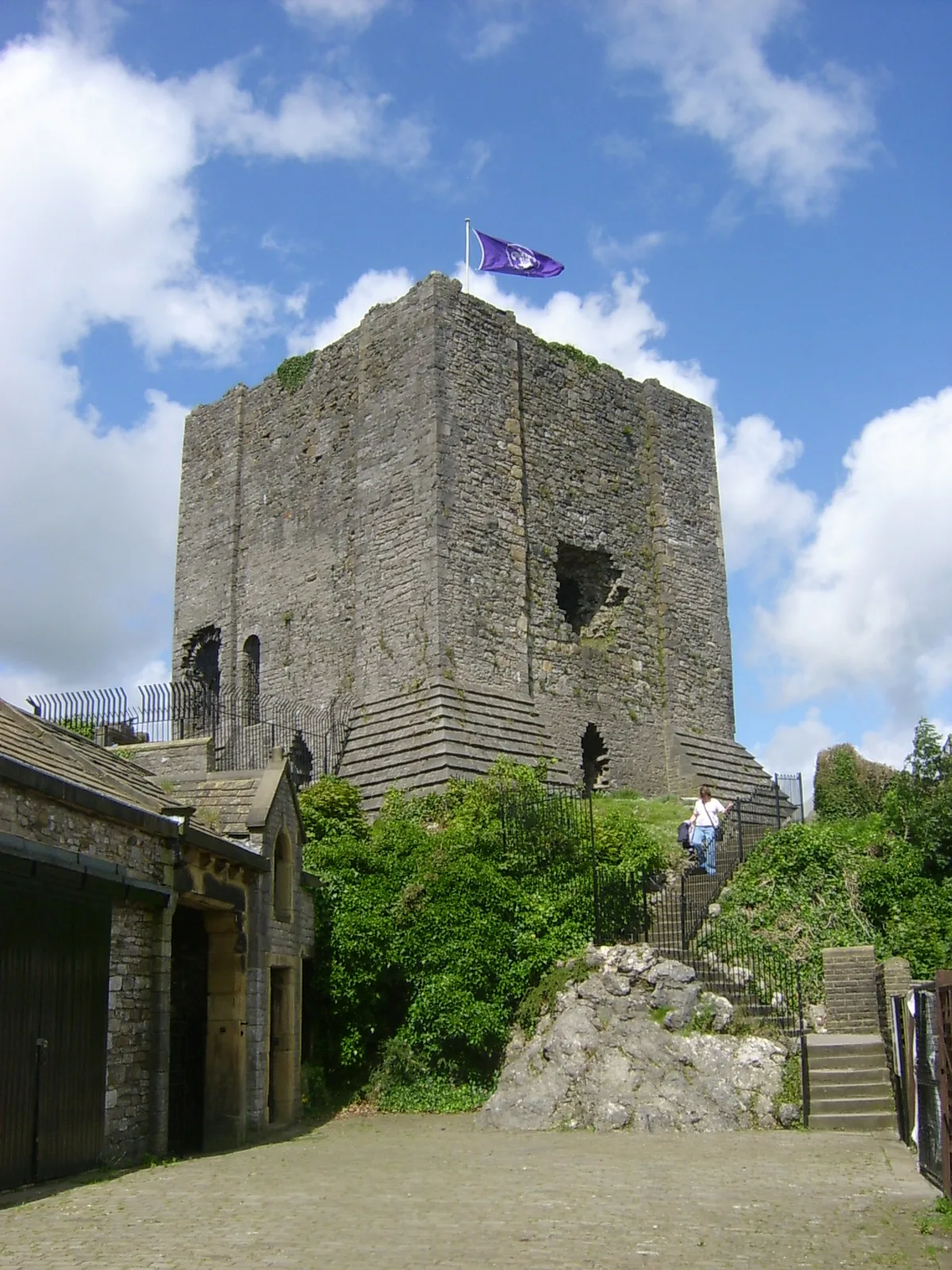
Castlestede
Castlestede — a castle in england north west.

Phil and Juliette Platt — CC BY-SA 2.0 via Wikimedia Commons licence
Plan your visit
- Typical visit
- 1.5 h–3 h
About
Castlestede is a named castle in england north west, recorded in the GeoNames UK gazetteer. British landmarks of this type are typically marked on Ordnance Survey maps and recorded in the national gazetteer for cartographic and navigational reference. Coordinates and feature classification are sourced from the GeoNames open dataset.
Photo gallery
Place summary
Castlestede is a castle located in North-West England. It is known for its historical significance and architectural features. The castle's design reflects the era in which it was built, showcasing the typical characteristics of fortifications from that period. Visitors can explore the site and appreciate its historical context within the region.
AI-generated from the structured facts on this page (operator, designation, listing, era). Not a substitute for visiting.
- Coordinates
- 54.1220, -2.6390
Sources
- manual: geonames-6287026 (CC BY 4.0)
Other places nearby
Loading nearby places…
Nearby
📷 5Literary houses · North West England
Castle Stede
Castle Stede — a literary house museum in england north west.
 📷 3
📷 3Forts · North West England
Castle Stede
Castle Stede is a fort in the United Kingdom.
 📷 3
📷 3Historic bridges · North West England
Loyn Bridge
Loyn Bridge is a historic bridge in the United Kingdom.
 📷 5
📷 5Mountains & hills · North West England
Windy Bank
Windy Bank — a hill or mountain in england north west.
 📷 5
📷 5Villages · North West England
Hornby
Hornby — a village in england north west.
.jpg?width=1200) Flagship📷 3
Flagship📷 3Abbeys & priories · North West England
Hornby Priory
Hornby Priory — monastery in Hornby-with-Farleton, Lancaster, England, UK.
Where to eat & stay near Castlestede
Places to stay
 📷 5
📷 5Caravan parks · North West England
Sandbeds Caravan Site
Sandbeds Caravan Site — a caravan park in england north west.
 📷 5
📷 5Campsites · North West England
Bridge House Farm Campsite
Bridge House Farm Campsite — a campsite in england north west.
 📷 5
📷 5Campsites · North West England
Redwell Fisheries
Redwell Fisheries — a campsite in england north west.
 📷 5
📷 5Campsites · North West England
Box Tree Farm Glamping
Box Tree Farm Glamping — a campsite in england north west.
 📷 5
📷 5Caravan parks · North West England
McCarthy Caravan Park
McCarthy Caravan Park — a caravan park in england north west.
 📷 5
📷 5Caravan parks · North West England
Old Hall Caravan Park
Old Hall Caravan Park — a caravan park in england north west.
Places to eat & drink
 📷 3
📷 3Historic pubs · North West England
The Eagles Head
The Eagles Head — Historic pub — listed building or notable heritage status.
 📷 5
📷 5Historic pubs · North West England
Sun Dial Inn
Sun Dial Inn in England North West, United Kingdom.
 📷 5
📷 5Historic pubs · North West England
Punch Bowl Hotel
Punch Bowl Hotel in England North West, United Kingdom.
 📷 5
📷 5Historic pubs · North West England
Horse And Farrier Inn
Horse And Farrier Inn in England North West, United Kingdom.
 📷 5
📷 5Historic pubs · North West England
Tramway Hotel
Tramway Hotel in England North West, United Kingdom.
.jpg?width=1200) 📷 4
📷 4Historic pubs · North West England
The Bobbin
The Bobbin — Historic pub — listed building or notable heritage status.
More castles in this region
 📷 5
📷 5Castles · North West England
Clitheroe Castle
Clitheroe Castle — castle in Lancashire, England, UK.
 📷 3
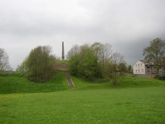
📷 3Castles · North West England
Castle Howe
Castle Howe — Castle in Cumbria, England.
 📷 3
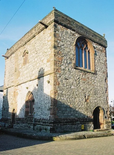
📷 3Castles · North West England
Dalton Castle
Dalton Castle — Grade I listed local museum in Dalton Town with Newton, Westmorland and Furness, Cumbria , England, UK.
 📷 5
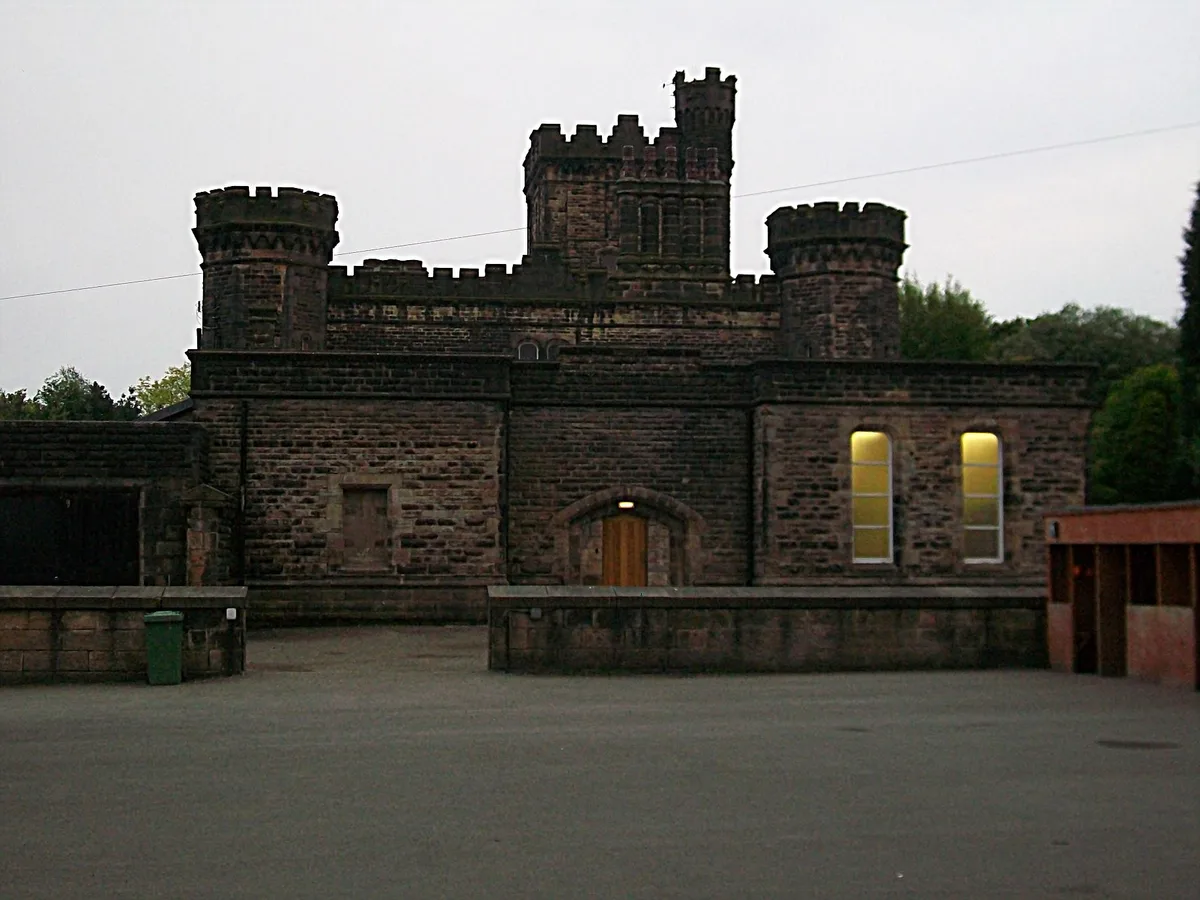
📷 5Castles · North West England
Dobroyd Castle
Dobroyd Castle — castle in Todmorden, West Yorkshire, England, UK.
Frequently asked questions
- Where is Castlestede?
- Castlestede is in North-West England, United Kingdom.
- What is Castlestede?
- Castlestede — a castle in england north west.
- How do I get to Castlestede?
- Its coordinates are 54.1220°, -2.6390°.
- Does Castlestede charge admission?
- Castlestede typically charges admission. Check the official site for current ticket prices and opening hours.