
Stadiums · East of England
Carrow Road
In or near Norwich.
Carrow Road is a stadium in the United Kingdom.

Wikimedia Commons contributors — see linked file page for photographer and licence licence

Plan your visit
- Typical visit
- 1.5 h–3 h
- Nearest railway station
- Norwich · 0.5 km
Getting there & planning your visit
To visit Carrow Road, the nearest railway station is Norwich, located 0.5 km away. The postcode for sat-nav is NR1 1JE. Entry details are not specified in the provided facts.
About
Carrow Road is a stadium in the United Kingdom. Records date its origin to 1935. Owned by Norwich City F.C.. Coordinates: 52.6222°, 1.3092°.
Photo gallery
From the Wikipedia article
Carrow Road is a football stadium in Norwich, Norfolk, England, and is the home of EFL Championship club Norwich City. The stadium is east of the city, near Norwich railway station and the River Wensum. Norwich City originally played at Newmarket Road before moving to The Nest. When The Nest was deemed inadequate for the size of crowds it was attracting, the Carrow Road ground, named after the road on which it is located, was purpose-built by Norwich City in just 82 days and opened on 31 August 1935. The stadium has been altered and upgraded several times during its history, notably following a fire that destroyed the old City Stand in 1984. Having once accommodated standing supporters, the ground was all-seater from 1992 to 2024. Since the start of the 2024/25 season, safe standing has been introduced in both the Lower Barclay and the Snakepit. The ground's current capacity is 27,359. The stadium's record attendance since becoming an all-seater ground is 27,137, set during a Premier League match versus Newcastle United on 2 April 2016. In the days when fans could stand on terraces, Carrow Road saw a crowd of 43,984 when hosting Leicester City for an FA Cup match in 1963. Carrow Road has also hosted under-21 international football and a number of concerts, including performances by Elton John and George Michael. The Carrow Road site includes catering facilities and a Holiday Inn hotel offering rooms with views of the pitch.
Excerpt from Wikipedia under CC BY-SA 4.0. See the source article linked in Sources below.
Background
History
Norwich City played at Newmarket Road from 1902 to 1908, with a record attendance of 10,366 in 1908. Following a dispute over the conditions of renting Newmarket Road, the club moved to a new home in 1908, a converted disused chalk pit in Rosary Road, Norwich. The new ground became known as The Nest, named for Norwich City's nickname, "The Canaries". By the 1930s, the ground capacity was proving insufficient for the growing crowds: The Nest's largest crowd was 25,037 in the 1934–35 FA Cup. The physical limitations of the site of The Nest meant that expansion was not possible, and there were safety problems with the existing structures. which belonged to J. & J. Colman.
Description
The Barclay is named after Captain Evelyn Barclay, a former vice-president of the club, who donated the cost of roofing the original stand. This was built in 1937, when a new two-tier structure, modelled on the River End, was built in accordance with the recommendations of the Taylor Report,
Visiting
Accommodation for visiting supporters is provided in the end of the South Stand closest to The Barclay. The Essential Football Fan describes the away end as follows: <blockquote>"As you would expect from a new stand, the facilities and view of the playing action are good. The normal allocation in this area is 2,500 fans although this can be increased further for cup games. If you are located at the very back of the stand then you can enjoy some fine views of the city."</blockquote>
Sourced from Wikipedia under CC BY-SA 4.0.
- Coordinates
- 52.6222, 1.3092
- County
- Norfolk
- District
- Norwich
- Parish
- Norwich, unparished area
- Postcode
- NR1 1JE
- Parliamentary constituency
- Norwich South
- Phone
- +44 1603 625166
- Established
- 1935
- Nearest railway station
- Norwich — 0.5 km
- Official site
- www.canaries.co.uk
Sources
- wikidata: Q123017 (CC0)
- wikipedia: Carrow Road (CC BY-SA 4.0)
- commons: NCFC Geoffrey Watling City Stand Apr07.JPG (CC BY-SA 4.0)
Other places nearby

Holiday Inn Norwich City
Hotels · 0.1 km

Boom Towers
Memorials & monuments · 0.2 km

Tile mosaic showing Normans sailing into Norwich
Public art & sculpture · 0.3 km

Saint Peter Southgate
Historic houses · 0.3 km

Saint Peter Southgate
Archaeological sites · 0.3 km

The Ferry Boat Inn
Historic houses · 0.4 km

The Ferry Boat Inn
Historic pubs · 0.4 km

Odeon Norwich
Theatres · 0.4 km
Carrow Abbey
Abbeys & priories · 0.5 km

Carrow Abbey
Cathedrals · 0.5 km
.jpg?width=1200)
Music House
Historic houses · 0.5 km

Trowse Swing Bridge
Historic bridges · 0.5 km
Nearby
📷 5Hotels · East of England
Holiday Inn Norwich City
Holiday Inn Norwich City — a hotel in england east.
📷 3Memorials & monuments · East of England
Boom Towers
Boom Towers — a memorial in england-east, United Kingdom.
📷 3Public art & sculpture · East of England
Tile mosaic showing Normans sailing into Norwich
Tile mosaic showing Normans sailing into Norwich — a public art in england-east, United Kingdom.
📷 3Historic houses · East of England
Saint Peter Southgate
Saint Peter Southgate — a historic house in england-east, United Kingdom.
📷 5Archaeological sites · East of England
Saint Peter Southgate
Saint Peter Southgate — archaeological in england east.
📷 4Historic houses · East of England
The Ferry Boat Inn
The Ferry Boat Inn — a Grade II*-listed historic house in england-east, United Kingdom.
Where to eat & stay near Carrow Road
Places to stay
📷 5Hotels · East of England
Holiday Inn Norwich City
Holiday Inn Norwich City — a hotel in england east.
 📷 5
📷 5 📷 5
📷 5Campsites · East of England
Whitlingham Broad Campsite
Whitlingham Broad Campsite — a campsite in england east.
 📷 5
📷 5Campsites · East of England
Norwich Camping And Caravanning Club
Norwich Camping And Caravanning Club — a campsite in england east.
 📷 5
📷 5Hotels · East of England
Annesley House Hotel
Annesley House Hotel — a hotel in england east.
 📷 5
📷 5Hotels · East of England
The Town House
The Town House — a hotel in england east. 3-star. Brand: Innkeeper’s Collection.
Places to eat & drink
📷 5Historic pubs · East of England
The Ferry Boat Inn
The Ferry Boat Inn in England East, United Kingdom.
 📷 5
📷 5 📷 5
📷 5Historic pubs · East of England
Last Pub Standing
Last Pub Standing in England East, United Kingdom.
 📷 5
📷 5 📷 5
📷 5Cafés · East of England
Warings Lifestore
Warings Lifestore — a café in england east.
 📷 5
📷 5Cafés · East of England
The Yoga Tree Studio
The Yoga Tree Studio — a café in england east.
Other places from this era
.jpg?width=1200) 📷 5
📷 5Stadiums · London
Bobby Moore statue
Bobby Moore statue — Public artwork (statue).
 📷 5
📷 5Stadiums · London
Brentford Community Stadium
Brentford Community Stadium — stadium in London, England.
 📷 5
📷 5Stadiums · London
Hackney Wick Stadium
Hackney Wick Stadium — former stadium in thr Londom Borough of Hackney.
.jpg?width=1200) 📷 5
📷 5More places in this region
 📷 5
📷 5Stadiums · East of England
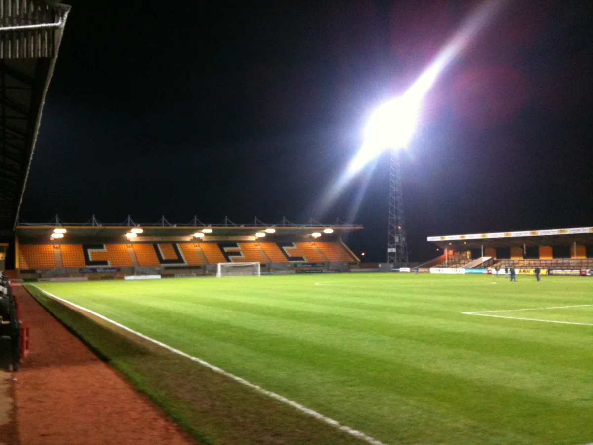
Abbey Stadium
Abbey Stadium — homeground for Cambridge United F.C.
 📷 5
📷 5Stadiums · East of England
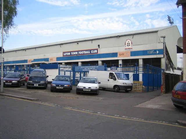
Kenilworth Road
Kenilworth Road — football stadium in Luton, Bedfordshire, England.
 📷 5
📷 5Stadiums · East of England
Fossetts Farm Stadium
Fossetts Farm Stadium — proposed football stadium in Essex, England.
 📷 4
📷 4Stadiums · East of England
Colchester Community Stadium
Colchester Community Stadium, known as the JobServe Community Stadium for sponsorship reasons, is a football stadium in Myland, England. It is the home of Colchester United Football Club. It has a cap
Frequently asked questions
- Where is Carrow Road?
- Carrow Road is in Norfolk, East of England, United Kingdom (postcode NR1 1JE), in the parish of Norwich, unparished area.
- What is Carrow Road?
- Carrow Road is a stadium in the United Kingdom.
- How do I get to Carrow Road?
- The nearest railway station is Norwich, about 0.5 km away. Drivers can use postcode NR1 1JE.
- When was Carrow Road built?
- Built or established in 1935.
- Who owns Carrow Road?
- Carrow Road is owned by Norwich City F.C..
- How do I get to Carrow Road?
- The nearest railway station is Norwich, about 0.5 km away. Drivers can navigate to postcode NR1 1JE.