
Castles · Northern Ireland
Carrickfergus Castle
Also known as: Caisleán Charraig Fhearghais
In or near Helen's Bay.
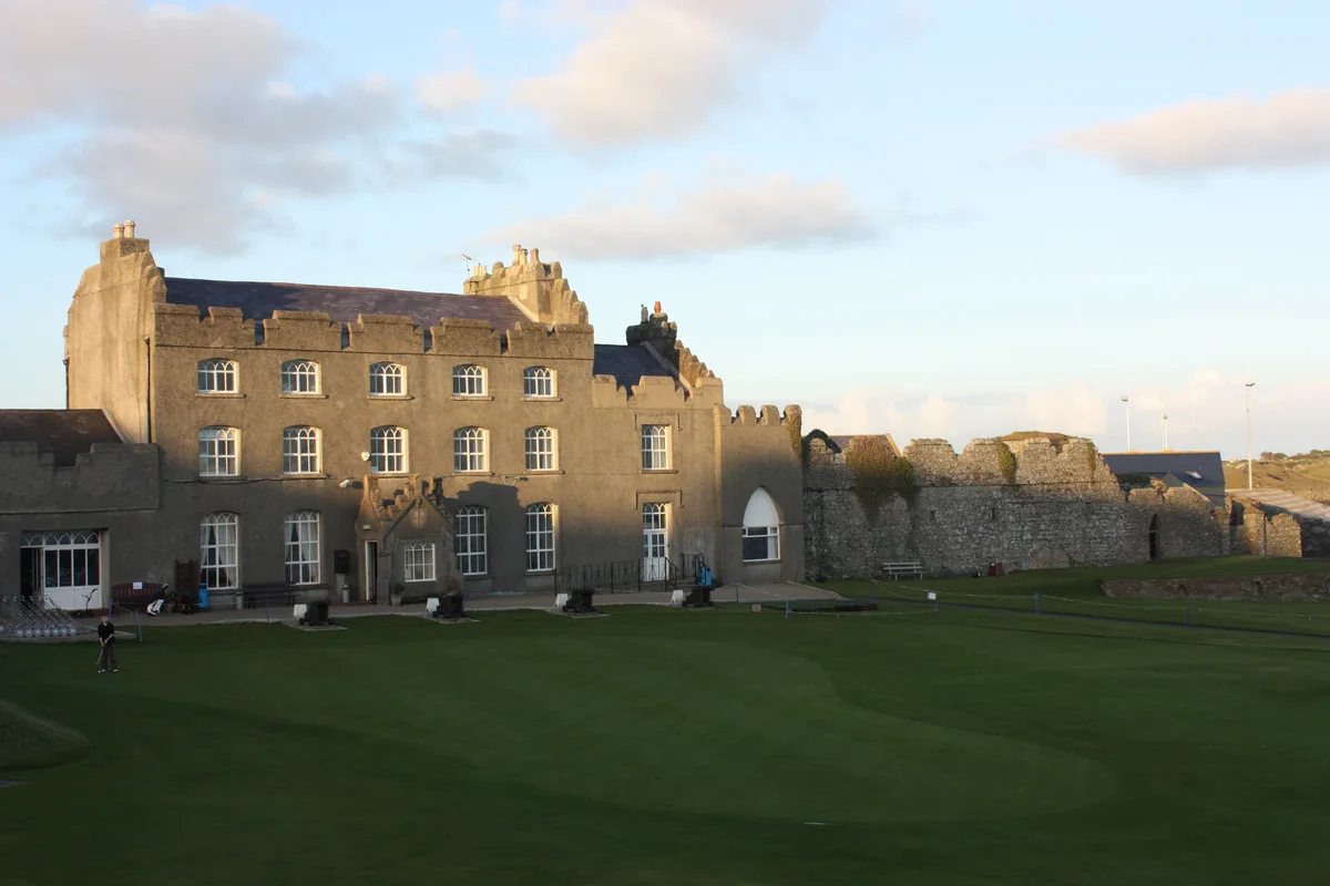
Carrickfergus Castle is a castle in the United Kingdom.

Wikimedia Commons contributors — see linked file page for photographer and licence licence

Plan your visit
- Typical visit
- 1.5 h–3 h
- Nearest railway station
- Carrickfergus · 0.5 km
- Family-friendly
- Limited wheelchair access
Getting there & planning your visit
To visit Carrickfergus Castle, the nearest railway station is Carrickfergus, located 0.5 km away. The postcode for sat-nav is BT38 7BG. Accessibility is limited for wheelchair users.
About
Carrickfergus Castle is a castle in the United Kingdom — fortified architecture from the medieval, Tudor, or Victorian-revival period. Designed by John de Courcy. Built in the Norman architecture style. Owned by John de Courcy. Coordinates: 54.7133°, -5.8064°.
Photo gallery
From the Wikipedia article
Carrickfergus Castle (from the Irish Carraig Ḟergus or "cairn of Fergus", the name "Fergus" meaning "strong man") is a Norman castle in Northern Ireland, situated in the town of Carrickfergus in County Antrim, on the northern shore of Belfast Lough. Besieged in turn by the Scottish, rebel Irish, English, and French, the castle played an important military role until 1928 and remains one of the best preserved medieval structures in Northern Ireland. It was strategically useful, with 3/4 of the castle perimeter surrounded by water (although in modern times only 1/3 of it is surrounded by water due to land reclamation). Today it is maintained by the Department for Communities as a state care historic monument, at grid ref: J4143 8725.
Excerpt from Wikipedia under CC BY-SA 4.0. See the source article linked in Sources below.
Background
History
Carrickfergus was built by John de Courcy in 1177 as his headquarters, after he conquered eastern Ulster and ruled as a petty king until 1204, when he was ousted by another Norman adventurer, Hugh de Lacy. Initially de Courcy built the inner ward, a small bailey at the end of the promontory with a high polygonal curtain wall and east gate. It had several buildings, including the great hall. From its strategic position on a rocky promontory, originally almost surrounded by sea, the castle commanded Carrickfergus Bay (later known as Belfast Lough), and the land approaches into the walled town that developed beneath its shadow.
Sourced from Wikipedia under CC BY-SA 4.0.
- Coordinates
- 54.7133, -5.8064
- District
- Mid and East Antrim
- Postcode
- BT38 7BG
- Parliamentary constituency
- East Antrim
- Established
- 1177
- Nearest railway station
- Carrickfergus — 0.5 km
- Official site
- www.carrickfergus.org
Sources
- wikidata: Q2368960 (CC0)
- wikipedia: Carrickfergus Castle (CC BY-SA 4.0)
- commons: Carrickfergus Castle, reflections at sunset - geograph.org.uk - 1098306.jpg (CC BY-SA 4.0)
Featured in these 2 guides
Other places nearby

Battle of Carrickfergus
Battlefields & battle sites · 0.0 km

King William III Monument
Memorials & monuments · 0.1 km
Carrickfergus
Natural landmarks · 0.1 km

Carrickfergus Lifeboat Station
Natural landmarks · 0.1 km

arts
Public art & sculpture · 0.2 km

Lauryn James
Galleries · 0.2 km

Carrickfergus Borough Council Town Hall
Historic houses · 0.3 km
Carrickfergus Museum
Museums · 0.3 km

Carrickfergus Omniplex
Theatres · 0.4 km

Carrickfergus Sailing Club
Natural landmarks · 0.4 km

Carrickfergus Harbour
Marinas · 0.4 km

Omniplex
Cinemas · 0.4 km
Nearby
📷 4Battlefields & battle sites · Northern Ireland
Battle of Carrickfergus
Battle of Carrickfergus in Northern Ireland, United Kingdom.
📷 3Memorials & monuments · Northern Ireland
King William III Monument
King William III Monument — a memorial in northern-ireland, United Kingdom.
📷 5Natural landmarks · Northern Ireland
Carrickfergus
Carrickfergus in Northern Ireland, United Kingdom.
📷 4Natural landmarks · Northern Ireland
Carrickfergus Lifeboat Station
Carrickfergus Lifeboat Station in Northern Ireland, United Kingdom.
📷 3Public art & sculpture · Northern Ireland
arts
arts — a public art in northern-ireland, United Kingdom.
📷 3Galleries · Northern Ireland
Lauryn James
Lauryn James — a gallery in northern-ireland, United Kingdom.
Where to eat & stay near Carrickfergus Castle
Places to stay
 📷 5
📷 5Caravan parks · Northern Ireland
Jordanstown Loughshore Caravan Park
Jordanstown Loughshore Caravan Park — a caravan park in northern ireland.
 📷 5
📷 5Campsites · Northern Ireland
Lorne Estate
Lorne Estate — a campsite in northern ireland.
 📷 5
📷 5Campsites · Northern Ireland
Crawfordsburn Scout Centre
Crawfordsburn Scout Centre — a campsite in northern ireland.
 📷 5
📷 5 📷 5
📷 5 📷 5
📷 5Hotels · Northern Ireland
The Pink Cottage
The Pink Cottage — a hotel in northern ireland.
Places to eat & drink
 📷 5
📷 5 📷 5
📷 5 📷 7
📷 7Historic pubs · Northern Ireland
Kelly's Cellars
Kelly's Cellars in Northern Ireland, United Kingdom.
 📷 7
📷 7Historic pubs · Northern Ireland
Crown Liquor Saloon
Crown Liquor Saloon in Northern Ireland, United Kingdom.
 📷 3
📷 3Historic pubs · Northern Ireland
Red Lion Pub bombing
Red Lion Pub bombing in Northern Ireland, United Kingdom.
 📷 5
📷 5Other works by John de Courcy
 📷 3
📷 3Castles · Northern Ireland
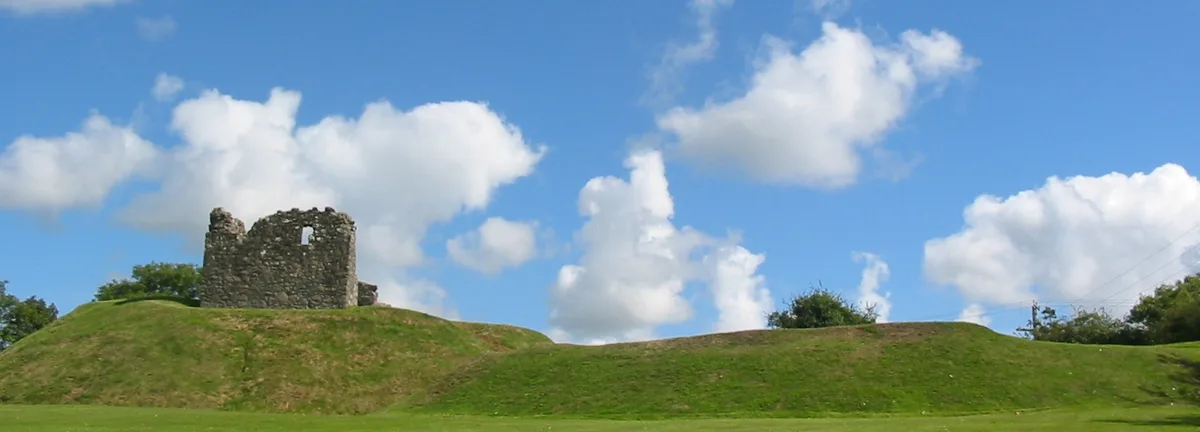
Clough Castle
Clough Castle — castle in County Down, Northern Ireland.
More castles in this region
 📷 3
📷 3Castles · Northern Ireland
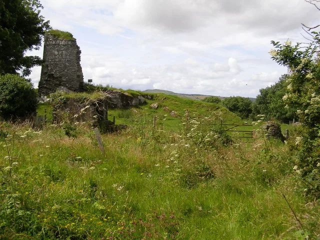
Aileach Castle
Aileach Castle — castle in Derry, County Londonderry, Northern Ireland.
 📷 3
📷 3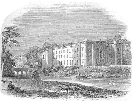 📷 5
📷 5Castles · Northern Ireland
Antrim Castle
Antrim Castle — 17th century house in Antrim, Ireland, now demolished.
 📷 5
📷 5Castles · Northern Ireland
Ardglass Castle
Ardglass Castle — row of 15th century warehouses in Northern Ireland.
Frequently asked questions
- Where is Carrickfergus Castle?
- Carrickfergus Castle is in Northern Ireland, United Kingdom (postcode BT38 7BG).
- What is Carrickfergus Castle?
- Carrickfergus Castle is a castle in the United Kingdom.
- How do I get to Carrickfergus Castle?
- The nearest railway station is Carrickfergus, about 0.5 km away. Drivers can use postcode BT38 7BG.
- When was Carrickfergus Castle built?
- Built or established in 1177. Designed by John de Courcy.
- Who owns Carrickfergus Castle?
- Carrickfergus Castle is owned by John de Courcy.
- Does Carrickfergus Castle charge admission?
- Carrickfergus Castle typically charges admission. Check the official site for current ticket prices and opening hours.
- How do I get to Carrickfergus Castle?
- The nearest railway station is Carrickfergus, about 0.5 km away. Drivers can navigate to postcode BT38 7BG.