
Natural landmarks · North Wales
Carnedd Ugain
In or near Q1638504.
Carnedd Ugain — mountain (1065.3m) in Gwynedd, Wales, UK.

Wikimedia Commons contributors — see linked file page for photographer and licence licence
_-_geograph.org.uk_-_82662.jpg)
Plan your visit
- Typical visit
- 1 h–2 h
- Nearest railway station
- Y Copa · 0.8 km
- Free entry
- Dog-friendly
Getting there & planning your visit
To visit Carnedd Ugain, the nearest railway station is Y Copa, located 0.8 km away. Entry is free.
About
Carnedd Ugain is a named natural landmark in the United Kingdom. Part of Snowdon Massif. Wikidata describes it as: "mountain (1065.3m) in Gwynedd, Wales, UK". Coordinates: 53.0755°, -4.0752°.
Photo gallery
From the Wikipedia article
Garnedd Ugain, the summit of Crib-y-Ddysgl ridge, is a pyramidal mountain in Wales that forms part of the Snowdon Massif. It is the second-highest peak in Wales (although with a far greater topographical prominence Carnedd Llywelyn is usually considered second highest) and lies just under one kilometre north of the summit of Snowdon itself. It is part of the Snowdon Horseshoe route, being linked to Crib Goch via the col at Bwlch Coch, and to Snowdon summit via the col at Bwlch Glas. It is also linked to Cwm Glas to the northeast via a steep arete called Clogwyn y Person, which joins the main Crib y Ddysgl ridge about 500 metres (1,600 feet) east of the summit.
Excerpt from Wikipedia under CC BY-SA 4.0. See the source article linked in Sources below.
- Coordinates
- 53.0755, -4.0752
- Address
- Gwynedd, Wales
- Nearest railway station
- Y Copa — 0.8 km
Sources
- wikidata: Q3098405 (CC0)
- wikipedia: Garnedd Ugain (CC BY-SA 4.0)
- commons: Crib y Ddysgl Trig Point, 3,493 feet (1,065m) - geograph.org.uk - 82662.jpg (CC BY-SA 4.0)
Other places nearby
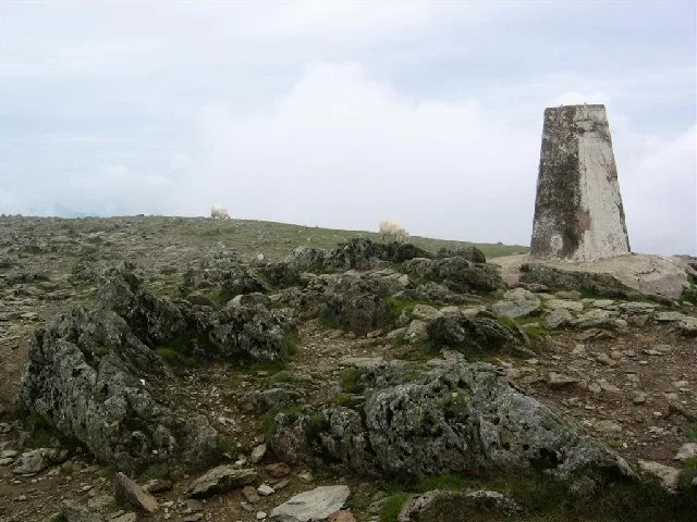
Garnedd Ugain
Mountains & hills · 0.0 km

Clogwyn y Person
Mountains & hills · 0.7 km
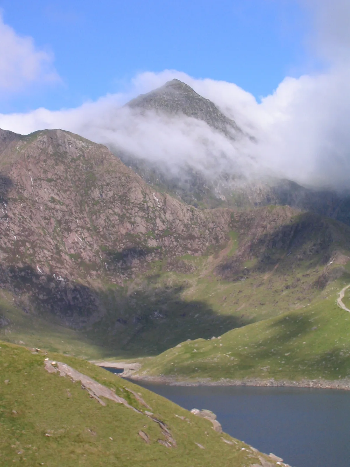
Snowdon
Mountains & hills · 0.8 km

Gwenllian
Memorials & monuments · 0.8 km

Snowdon - Yr Wyddfa
Mountains & hills · 0.8 km
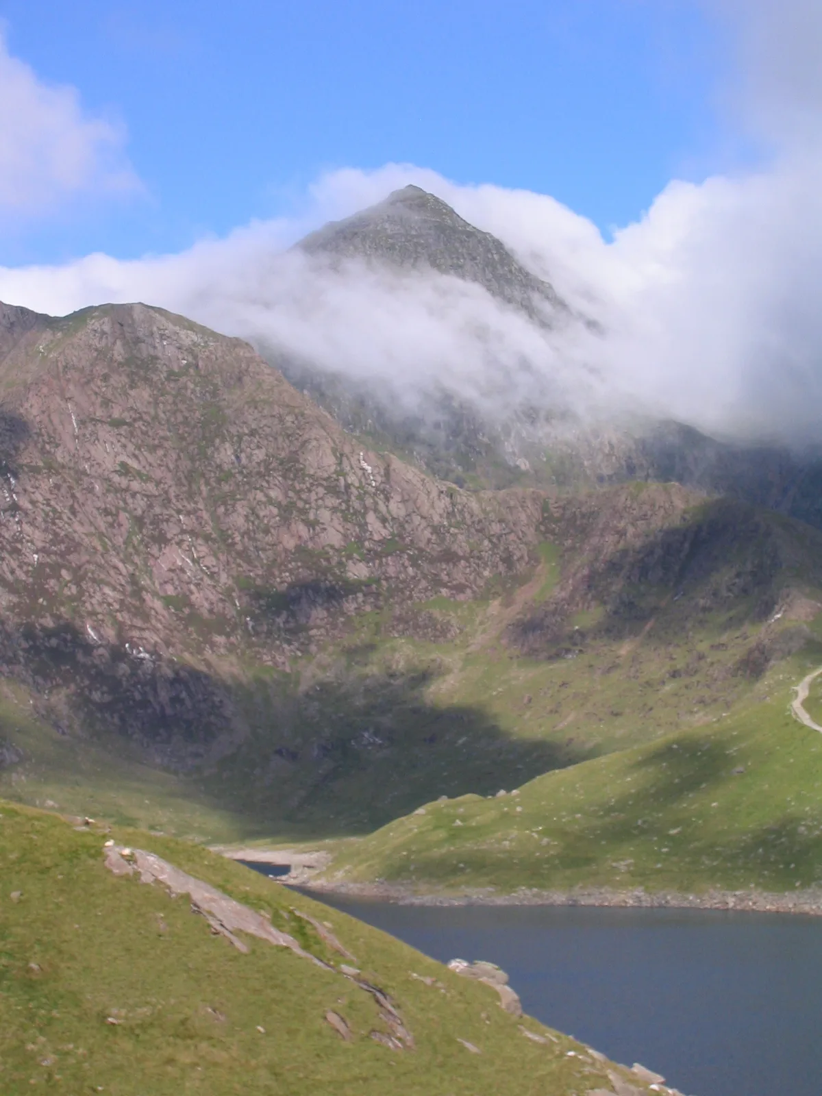
Yr Wyddfa
Mountains & hills · 0.8 km
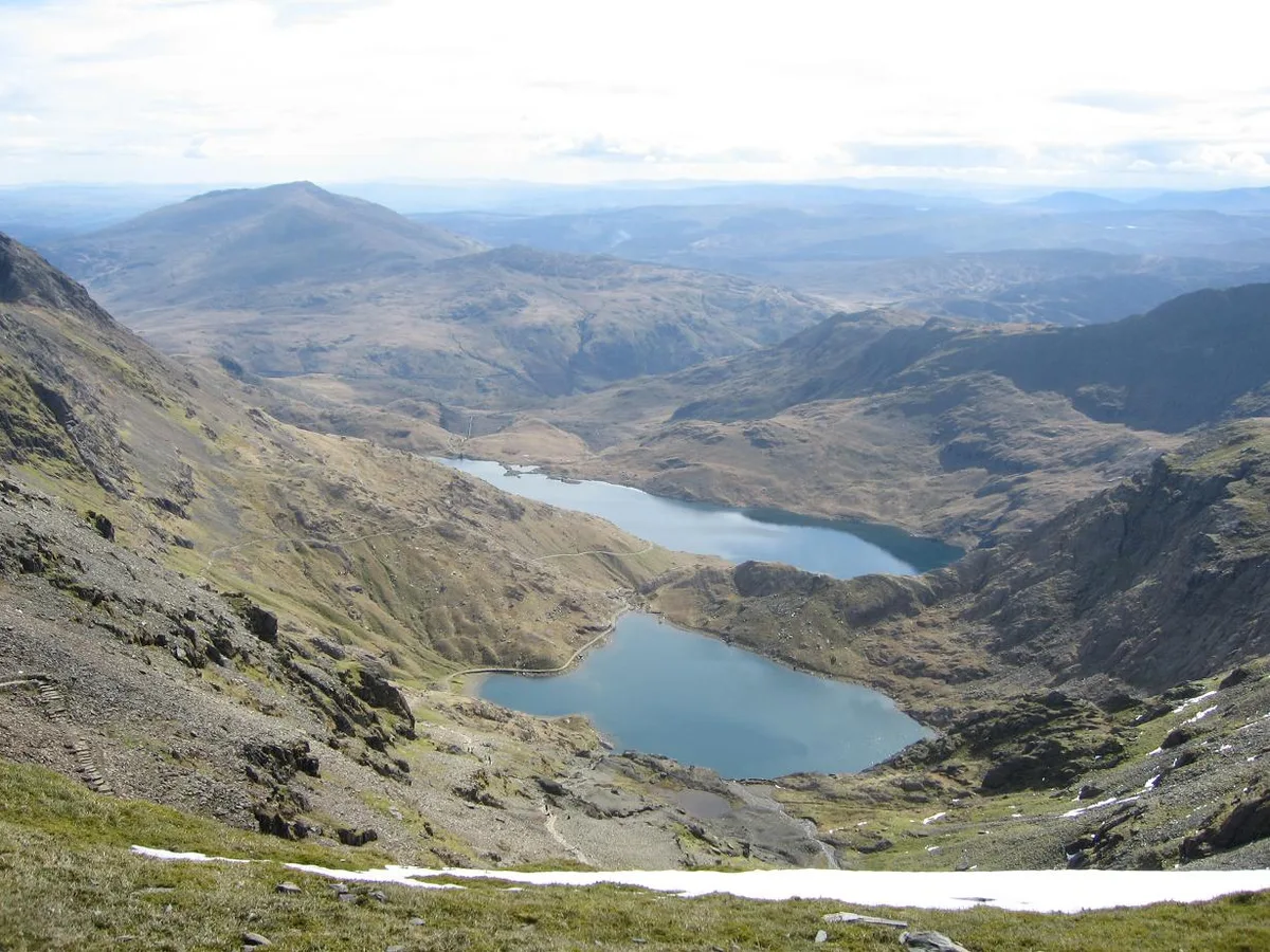
Glaslyn
Reservoirs & lochs · 0.8 km

Clogwyn Coch Copper Mines
Archaeological sites · 0.9 km

Bwlch Coch
Mountain passes · 1.1 km

Clogwyn Du'r Arddu West Buttress
Climbing & bouldering crags · 1.2 km
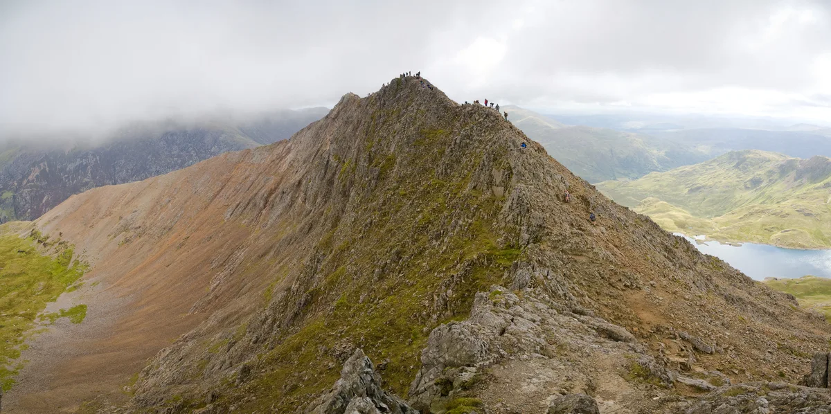
Crib Goch
Mountains & hills · 1.4 km
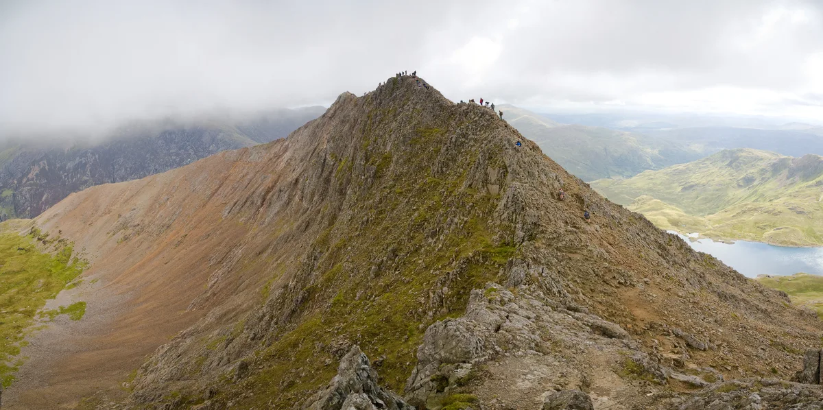
Crib Goch
Natural landmarks · 1.4 km
Nearby
📷 3📷 5Mountains & hills · North Wales
Clogwyn y Person
Clogwyn y Person — mountain in wales north. Elevation: 800 m.
★ Iconic📷 5📷 3Memorials & monuments · North Wales
Gwenllian
Gwenllian — a memorial in wales-north, United Kingdom.
📷 5Mountains & hills · North Wales
Snowdon - Yr Wyddfa
Snowdon - Yr Wyddfa — a hill or mountain in wales north.
📷 5Where to eat & stay near Carnedd Ugain
Places to stay
 📷 5
📷 5 📷 5
📷 5 📷 5
📷 5Hostels · North Wales
Snowdon Pen-y-Pass Youth Hostel
Snowdon Pen-y-Pass Youth Hostel — a hostel in wales north.
 📷 5
📷 5 📷 5
📷 5Campsites · North Wales
Macs Pebyll Hafod Y Llan
Macs Pebyll Hafod Y Llan — a campsite in wales north.
 📷 5
📷 5Hostels · North Wales
Hertfordshire Snowdownia Centre
Hertfordshire Snowdownia Centre — a hostel in wales north.
Places to eat & drink
 📷 5
📷 5 📷 7
📷 7Restaurants · North Wales
Tafarn Tryfan
Tafarn Tryfan — a restaurant in wales north.
 📷 6
📷 6 📷 5
📷 5 📷 5
📷 5 📷 5
📷 5More natural landmarks in this region
 Flagship📷 5
Natural landmarks · North Wales
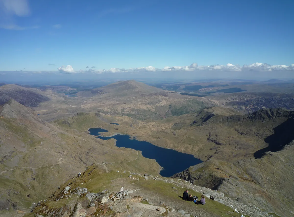
Llyn Llydaw
Llyn Llydaw is a natural landmark in the United Kingdom.
 📷 5
📷 5Natural landmarks · North Wales
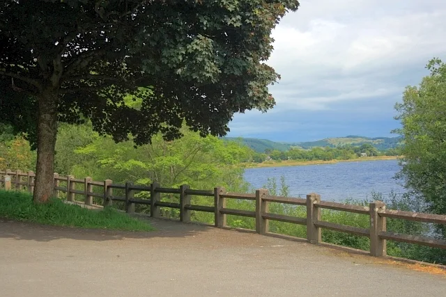
Llyn Tegid
Llyn Tegid is a natural landmark in the United Kingdom.
 📷 3
📷 3 📷 3
📷 3Natural landmarks · North Wales
Aran Benllyn
Aran Benllyn — mountain (885m) in Gwynedd.
Frequently asked questions
- Where is Carnedd Ugain?
- Carnedd Ugain is in North Wales, United Kingdom.
- What is Carnedd Ugain?
- Carnedd Ugain — mountain (1065.3m) in Gwynedd, Wales, UK.
- How do I get to Carnedd Ugain?
- The nearest railway station is Y Copa, about 0.8 km away. Its coordinates are 53.0755°, -4.0752°.
- Is Carnedd Ugain free to visit?
- Yes, Carnedd Ugain is free to enter.
- How do I get to Carnedd Ugain?
- The nearest railway station is Y Copa, about 0.8 km away.