
Hill forts · South West England
Carn Euny
In or near Sancreed.
Carn Euny — archaeological site near Sancreed, Cornwall, England.

Wikimedia Commons contributors — see linked file page for photographer and licence licence

Plan your visit
- Typical visit
- 1 h–2 h
- Nearest railway station
- Penzance · 7.6 km
- Free entry
- Family-friendly
- Dog-friendly
- Limited wheelchair access
Getting there & planning your visit
To visit Carn Euny, the nearest railway station is Penzance, located 7.6 km away. Entry is free, but please note that wheelchair accessibility is limited. The postcode for sat-nav is TR20 8RB.
About
Carn Euny is a hill fort in the United Kingdom. Records date its origin to AD -199. Owned by English Heritage. Managed by English Heritage. Wikidata describes it as: "archaeological site near Sancreed, Cornwall, England". Coordinates: 50.1023°, -5.6345°.
Photo gallery
Summary from the official site
Carn Euny is one of the best-preserved ancient villages in South West England, dating back to the Iron Age and late Roman times. Visitors can explore the foundations of stone houses and a unique underground passage known as a fogou, which is a rare Iron Age monument found in this region.
Read more on the official property page.
Protected designations
- Site of Special Scientific Interest: Aire Point to Carrick Du SSSI
- Site of Special Scientific Interest: West Penwith Moors and Downs SSSI
- Area of Outstanding Natural Beauty: Cornwall
Designations sourced from Natural England open data under OGL v3.
From the Wikipedia article
Carn Euny (from Cornish: Karn Uni) is an archaeological site near Sancreed, on the Penwith peninsula in Cornwall, United Kingdom. It consists of evidence of both Iron Age and post-Iron Age settlement, with excavation on the site showing activity at Carn Euny as early as the Neolithic period. The first timber huts there were built about 500 BC, and 400-500 years later were replaced by stone huts, the remains of which are still visible. Carn Euny is best known for the well-preserved state of the large fogou, an underground passageway, which is more than 65 feet (20 metres) long. This fogou runs just below the surface of the ground and is roofed with massive stone slabs. The site was abandoned late in the Roman period.
Excerpt from Wikipedia under CC BY-SA 4.0. See the source article linked in Sources below.
Background
Architecture
Traces of human activity in Carn Euny have been detected from the early Neolithic period. Iron Age round houses of wattle and daub, mud and wood were built around 500-400 BC, and replaced by stone houses starting in the 1st century BC. Some of these stone houses were "replaced with larger, stone ‘courtyard’ houses" between 200-400 AD, Seven single-room stone houses, of both a round and oval form, and three courtyard houses are in evidence; courtyard houses only being found in Cornwall. At this time the people of Carn Euny lived from agriculture, livestock, trade, and perhaps tin mining. Evidence of farming here includes 40 acres enclosed within a field boundary, which is most likely the…
Sourced from Wikipedia under CC BY-SA 4.0.
- Coordinates
- 50.1023, -5.6345
- District
- Cornwall
- Parish
- Sancreed
- Postcode
- TR20 8RB
- Parliamentary constituency
- St Ives
- Phone
- 0187 222 4014
- Established
- 200
- Nearest railway station
- Penzance — 7.6 km
- Opening
- Open any reasonable time during daylight hours
- Official site
- www.english-heritage.org.uk
Sources
- wikidata: Q1043847 (CC0)
- wikipedia: Carn Euny (CC BY-SA 4.0)
- commons: CarnEuny1.jpg (CC BY-SA 4.0)
Other places nearby

Caer Bran
Archaeological sites · 0.6 km

Caer Bran
Archaeological sites · 0.6 km
Caer Bran
Vineyards · 0.6 km

Brane Barrow
Memorials & monuments · 0.6 km
Brane Cross
Historic houses · 0.7 km

enclosure
Archaeological sites · 0.7 km
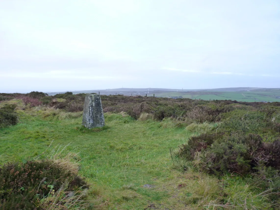
Bartinney Castle
Hill forts · 0.9 km

Bartine Castle
Castles · 0.9 km

Bartinney Downs
Mountains & hills · 0.9 km

Cardinney Car. & Camp Park
Campsites · 1.0 km
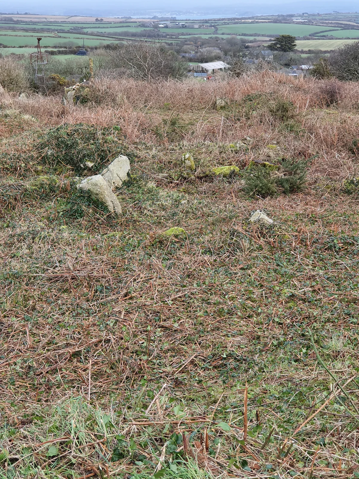
Round, courtyard house settlement and field system 140m WNW of Goldherring
Archaeological sites · 1.1 km
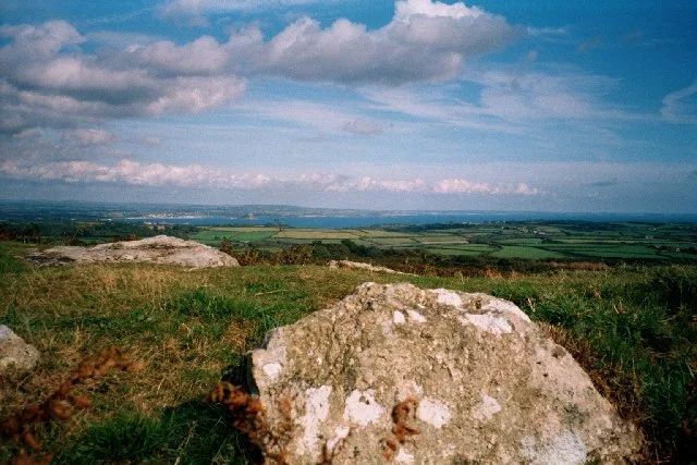
Sancreed Beacon
Hill forts · 1.4 km
Nearby
📷 3Archaeological sites · South West England
Caer Bran
Caer Bran — a archaeological in england-south-west, United Kingdom.
📷 5📷 5Vineyards · South West England
Caer Bran
Iron Age defended settlement, 330m south east of Caer Bran Farm, Cornwall, England, UK
📷 3Memorials & monuments · South West England
Brane Barrow
Brane Barrow, or Chapel Euny Barrow, is a Neolithic entrance grave located near the hamlet of Brane, Cornwall, England, United Kingdom. It is considered to be one of the smallest and best preserved bu
📷 3Historic houses · South West England
Brane Cross
Brane Cross — a Grade II*-listed historic house in england-south-west, United Kingdom.
📷 3Archaeological sites · South West England
enclosure
enclosure — a archaeological in england-south-west, United Kingdom.
Where to eat & stay near Carn Euny
Places to stay
📷 5Campsites · South West England
Cardinney Car. & Camp Park
Cardinney Car. & Camp Park — a campsite in england south west.
 📷 5
📷 5 📷 5
📷 5Campsites · South West England
Tower Park
Tower Park — a campsite in england south west.
 📷 5
📷 5Campsites · South West England
Treganhoe Farm
Treganhoe Farm — a campsite in england south west.
 📷 5
📷 5Campsites · South West England
Sennen Cove Camping and Caravanning Club Site
Sennen Cove Camping and Caravanning Club Site — a campsite in england south west.
 📷 5
📷 5Campsites · South West England
Kelynack Caravan & Camping
Kelynack Caravan & Camping — a campsite in england south west.
Places to eat & drink
 📷 5
📷 5Historic pubs · South West England
Tolcarne Inn Public House
Tolcarne Inn Public House in England South West, United Kingdom.
 📷 5
📷 5Historic pubs · South West England
First And Last Inn
First And Last Inn in England South West, United Kingdom.
 📷 7
📷 7Restaurants · South West England
The Old Lifeboat House Bistro
The Old Lifeboat House Bistro — a restaurant in england south west. Cuisine: seafood.
 📷 5
📷 5 📷 5
📷 5 📷 5
📷 5Historic pubs · South West England
The Bucket of Blood
The Bucket of Blood in England South West, United Kingdom.
More places run by English Heritage
 Flagship📷 10
Museums · London
Kenwood House
Kenwood House — art museum and historic house in Hampstead, London.
 📷 5
📷 5Galleries · London
Apsley House
Apsley House — London townhouse of the Dukes of Wellington.
 📷 5
📷 5Castles · London
Eynsford Castle
Eynsford Castle — castle, now ruinous, in Eynsford, Kent, England, UK.
 📷 5
📷 5Museums · London
Jewel Tower
Jewel Tower — medieval tower in Westminster, London, England, UK.
More places in this region
 Flagship📷 10
Hill forts · South West England
Maiden Castle
Maiden Castle — Iron Age hill fort in Dorset, England, UK.
 📷 5
📷 5Hill forts · South West England
All Cannings Cross
All Cannings Cross — archaeological site in All Cannings, Wiltshire, England, UK.
 📷 5
📷 5Hill forts · South West England
Aquae Sulis
Aquae Sulis — town in Roman Britain on the site of Bath, England.
 📷 5
📷 5Hill forts · South West England
Aston Valley Barrow Cemetery
Aston Valley Barrow Cemetery — group of Bronze Age burial mounds in England.
Frequently asked questions
- Where is Carn Euny?
- Carn Euny is in South-West England, United Kingdom (postcode TR20 8RB), in the parish of Sancreed.
- What is Carn Euny?
- Carn Euny — archaeological site near Sancreed, Cornwall, England.
- How do I get to Carn Euny?
- The nearest railway station is Penzance, about 7.6 km away. Drivers can use postcode TR20 8RB.
- When was Carn Euny built?
- Built or established in 200.
- Who runs Carn Euny?
- Carn Euny is operated by English Heritage.
- Is Carn Euny a protected site?
- Yes — Carn Euny is part of the Aire Point to Carrick Du SSSI Site of Special Scientific Interest and the West Penwith Moors and Downs SSSI Site of Special Scientific Interest.
- Is Carn Euny free to visit?
- Yes, Carn Euny is free to enter.
- How do I get to Carn Euny?
- The nearest railway station is Penzance, about 7.6 km away. Drivers can navigate to postcode TR20 8RB.