
Hill forts · North West England
Camboglanna
In or near Westlinton.
Camboglanna — Roman auxiliary troop fort in near Castlesteads, United-Kingdom.

Wikimedia Commons contributors — see linked file page for photographer and licence licence
.png)
Plan your visit
- Typical visit
- 1 h–2 h
- Nearest railway station
- Brampton · 5.2 km
- Free entry
- Dog-friendly
Getting there & planning your visit
To visit Camboglanna, the nearest railway station is Brampton, located 5.2 km away. The postcode for sat-nav is CA8 2AX. Entry to the site is free.
About
Camboglanna is a hill fort in the United Kingdom. Part of Castlesteads Roman fort and the vallum between the track to the east of Castlesteads fort and the Cam Beck in the west. Wikidata describes it as: "Roman auxiliary troop fort in near Castlesteads, United-Kingdom". Coordinates: 54.9650°, -2.7610°.
Photo gallery
Protected designations
- Site of Special Scientific Interest: River Eden and Tributaries SSSI
Designations sourced from Natural England open data under OGL v3.
From the Wikipedia article
Camboglanna (with the modern name of Castlesteads) was a Roman fort. It was the twelfth fort on Hadrian's Wall counting from the east, between Banna (Birdoswald) almost 7 miles (11 km) to the east and Uxelodunum (Stanwix), 9 miles to the west. It was on a high bluff commanding the Cambeck Valley. It guarded an important approach to the Wall and also watched the east bank of the Cambeck against raiders from the Bewcastle area. The site was drastically levelled in 1791 when the gardens of Castlesteads House were laid over it. The name "Camboglanna" is believed to mean "Crook Bank", or "Bent Valley" because it overlooks a bend in the river Irthing; the name is Brythonic, made of cambo- "curved, bent, crooked" and glanna "steep bank, stream/river side, valley with a stream". There was some confusion over the Roman name for the fort. At one time Camboglanna was the accepted name for Birdoswald, but this is now believed to be an error in the Notitia Dignitatum. The Roman name for Birdoswald is now thought to be Banna.
Excerpt from Wikipedia under CC BY-SA 4.0. See the source article linked in Sources below.
Background
Description
The fort was approximately square, measuring about 400 by and covering approximately 3.75 acre. It faces roughly north-west by south-east and overlooks the gorge of the Cambeck. Erosion of the gorge has destroyed the north-west face of the fort. The fort lies within the Vallum, but is not adjacent to the Wall. It is the only fort on Hadrian's Wall in this position. It appears that the Wall had already been built at the most convenient point to cross the Cambeck and so, when the fort was built, the strongest point was chosen rather than one adjacent to the Wall.
Sourced from Wikipedia under CC BY-SA 4.0.
- Coordinates
- 54.9650, -2.7610
- District
- Cumberland
- Parish
- Walton
- Postcode
- CA8 2AX
- Parliamentary constituency
- Carlisle
- Nearest railway station
- Brampton — 5.2 km
Sources
- wikidata: Q3651196 (CC0)
- wikipedia: Camboglanna (CC BY-SA 4.0)
- commons: BP Castlesteads (Camboglanna).png (CC BY-SA 4.0)
Other places nearby

Roman temple in Castlesteads
Follies · 0.0 km
Camboglanna (Castlesteads)
Archaeological sites · 0.2 km
Turret 56B
Archaeological sites · 0.3 km

Milecastle 57
Archaeological sites · 0.6 km

Milecastle 57
Archaeological sites · 0.6 km

Turret 57A
Archaeological sites · 1.0 km

Mile Castle 56
Castles · 1.1 km

Headswood
Castles · 1.1 km
Headswood on the Wall
Campsites · 1.2 km

Florrie's On The Wall Bunkhouse and B&B
Hostels · 1.2 km
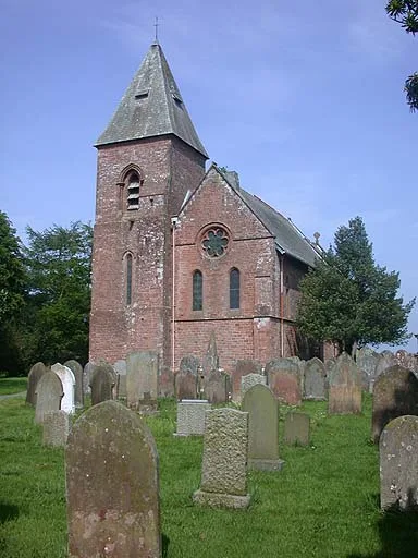
St Mary's Church, Walton
Historic churches · 1.2 km

Irthing Bridge
Historic bridges · 1.3 km
Nearby
📷 5Follies · North West England
Roman temple in Castlesteads
Roman temple in Castlesteads — a temple folly in scotland-lowlands, United Kingdom.
📷 3Archaeological sites · North West England
Camboglanna (Castlesteads)
Camboglanna (Castlesteads) — an archaeological site in North West England, United Kingdom.
📷 3Archaeological sites · North West England
Turret 56B
Turret 56B — an archaeological site in North West England, United Kingdom.
📷 3Archaeological sites · North West England
Milecastle 57
Milecastle 57 — an archaeological site in North West England, United Kingdom.
📷 5Archaeological sites · North West England
Milecastle 57
Milecastle 57 — archaeological in scotland lowlands.
📷 3Archaeological sites · North West England
Turret 57A
Turret 57A — an archaeological site in North West England, United Kingdom.
Where to eat & stay near Camboglanna
Places to stay
📷 5Campsites · North West England
Headswood on the Wall
Headswood on the Wall — a campsite in scotland lowlands.
📷 5Hostels · North West England
Florrie's On The Wall Bunkhouse and B&B
Florrie's On The Wall Bunkhouse and B&B — a hostel in scotland lowlands.
 📷 5
📷 5Caravan parks · North West England
Irthing Vale Caravan Park
Irthing Vale Caravan Park — a caravan park in scotland lowlands.
 📷 7
📷 7B&Bs · North West England
Scotch Arms Mews
Scotch Arms Mews — a bed-and-breakfast in scotland lowlands.
 📷 7
📷 7 📷 5
📷 5Campsites · North West England
Bleatarn Farm Caravan & Campsite
Bleatarn Farm Caravan & Campsite — a campsite in scotland lowlands.
Places to eat & drink
 📷 5
📷 5Historic pubs · North West England
Graham Arms (West Of Gelt Bridge)
Graham Arms (West Of Gelt Bridge) in Scotland Lowlands, United Kingdom.
 📷 4
📷 4 📷 4
📷 4Historic pubs · North West England
Hallbankgate
Hallbankgate in England North East, United Kingdom.
 📷 5
📷 5Historic pubs · North West England
St Nicholas Arms Public House
St Nicholas Arms Public House in Scotland Lowlands, United Kingdom.
 📷 7
📷 7Historic pubs · North West England
The Andalusian
The Andalusian in Scotland Lowlands, United Kingdom.
 📷 7
📷 7Restaurants · North West England
The Old Bank Gastro House
The Old Bank Gastro House — a restaurant in scotland lowlands.
More places in this region
 📷 5
📷 5Hill forts · North West England
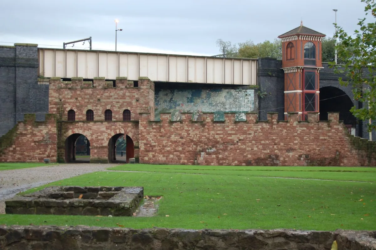
Mamucium
Mamucium — former Roman fort in the Castlefield area of Manchester in North West England.
 📷 3
📷 3Hill forts · North West England
Timperley Hall
Timperley Hall is a hill fort in the United Kingdom.
 📷 3
📷 3Hill forts · North West England
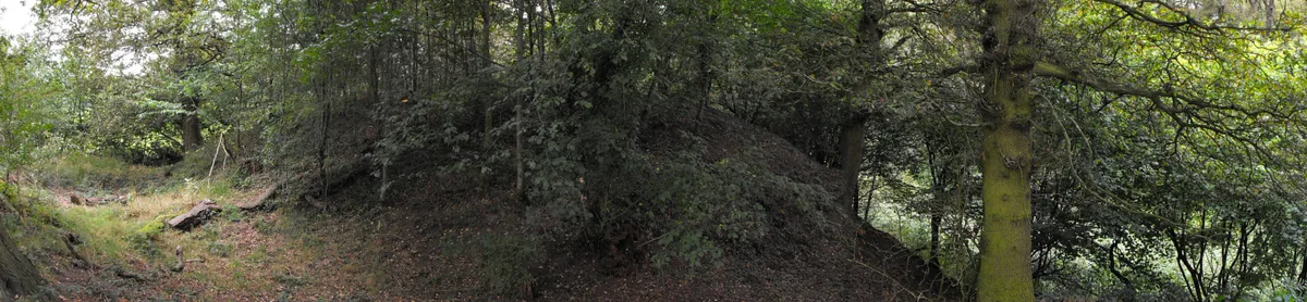
Watch Hill Castle
Watch Hill Castle — medieval castle in Bowdon, Greater Manchester, England, UK.
 📷 5
📷 5Hill forts · North West England
Buckton Castle
Buckton Castle — 12th-century castle in Mossley, Greater Manchester, England, UK.
Frequently asked questions
- Where is Camboglanna?
- Camboglanna is in North-West England, United Kingdom (postcode CA8 2AX), in the parish of Walton.
- What is Camboglanna?
- Camboglanna — Roman auxiliary troop fort in near Castlesteads, United-Kingdom.
- How do I get to Camboglanna?
- The nearest railway station is Brampton, about 5.2 km away. The nearest town is Westlinton. Drivers can use postcode CA8 2AX.
- Is Camboglanna a protected site?
- Yes — Camboglanna is part of the River Eden and Tributaries SSSI Site of Special Scientific Interest.
- Is Camboglanna free to visit?
- Yes, Camboglanna is free to enter.
- How do I get to Camboglanna?
- The nearest railway station is Brampton, about 5.2 km away. Drivers can navigate to postcode CA8 2AX.