
Waterfalls · North West England
Cam Spout
In or near Boot.
Cam Spout — waterfall in england north west.

Peter S — CC BY-SA 2.0 via Wikimedia Commons licence

Plan your visit
- Typical visit
- 1 h–2 h
- Nearest railway station
- Dalegarth · 6.7 km
About
Cam Spout is a waterfall located in england north west. A British waterfall recorded in OpenStreetMap. Most are in upland country where rivers cross resistant rock.
Photo gallery
Protected designations
- Site of Special Scientific Interest: Scafell Pikes SSSI
Designations sourced from Natural England open data under OGL v3.
Place summary
Cam Spout is a waterfall located in North-West England. It is characterised by its natural cascades, set against a backdrop of rugged terrain. Visitors can expect a scenic spot, ideal for photography and enjoying the surrounding landscape. The area is accessible for those interested in walking trails nearby.
AI-generated from the structured facts on this page (operator, designation, listing, era). Not a substitute for visiting.
- Coordinates
- 54.4424, -3.2086
- Nearest railway station
- Dalegarth — 6.7 km
Sources
- osm: n1917669693 (ODbL)
Other places nearby

Pen
Mountains & hills · 1.0 km

East Buttress
Climbing & bouldering crags · 1.1 km
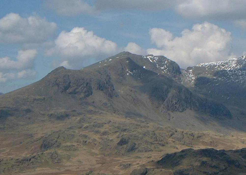
Slight Side
Mountains & hills · 1.1 km

Scafell
Mountains & hills · 1.2 km
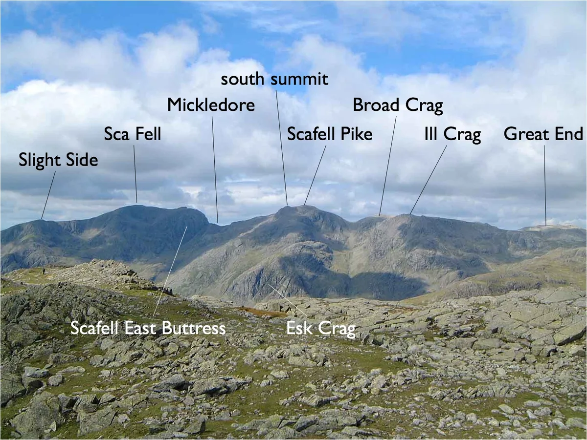
Sca Fell
Mountains & hills · 1.2 km
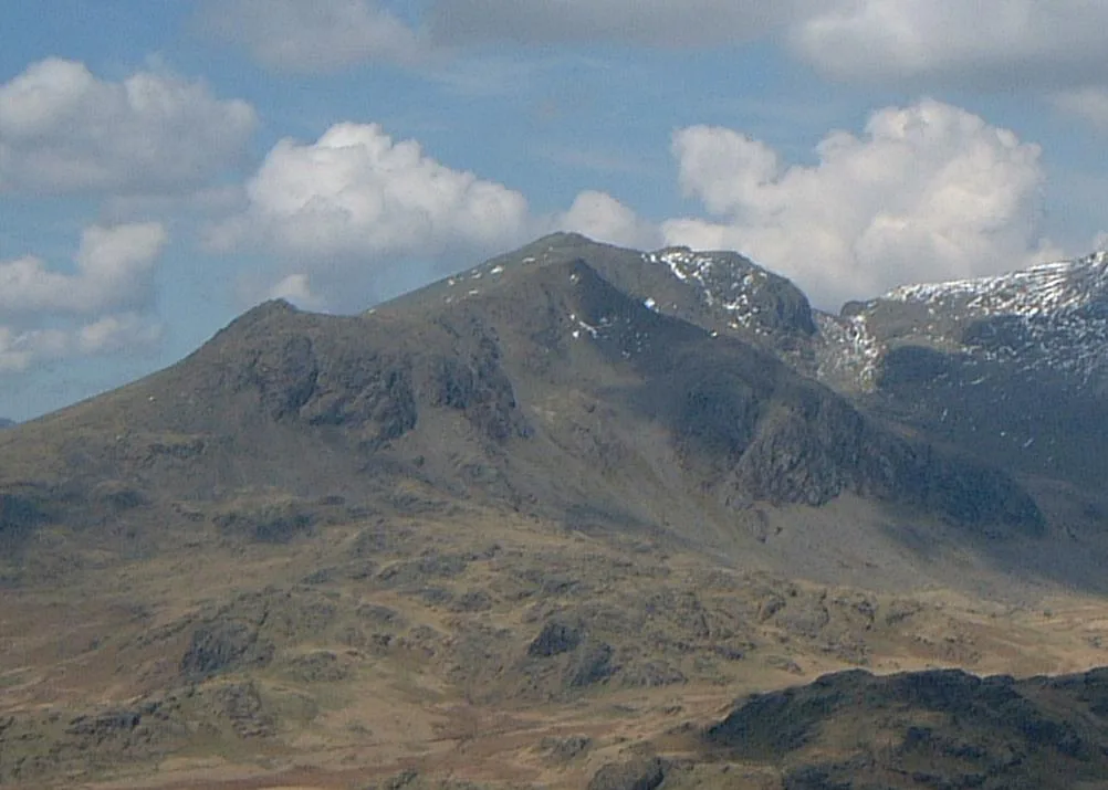
Slight Side
Natural landmarks · 1.2 km
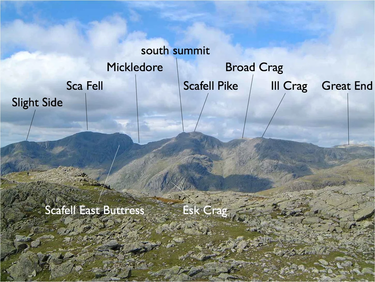
Sca Fell
Natural landmarks · 1.2 km

Central Buttress
Climbing & bouldering crags · 1.3 km

Symonds Knott
Mountains & hills · 1.3 km

Pisgah
Climbing & bouldering crags · 1.3 km
The Pinnacle
Climbing & bouldering crags · 1.3 km
Deep Gill Buttress
Climbing & bouldering crags · 1.3 km
Nearby
📷 5📷 5Climbing & bouldering crags · North West England
East Buttress
East Buttress — a climbing crag in england north west.
📷 3📷 5📷 5📷 3Where to eat & stay near Cam Spout
Places to stay
 📷 5
Campsites · North West England
Wasdale Campsite
Wasdale Campsite — a campsite in england north west.
 📷 5
Campsites · North West England
Wasdale Head Campsite
Wasdale Head Campsite — a campsite in england north west.
 📷 5
Hostels · North West England
YHA Eskdale
YHA Eskdale — a hostel in england north west.
 📷 5
Campsites · North West England
Eskdale Campsite
Eskdale Campsite — a campsite in england north west.
 📷 5
Campsites · North West England
Seathwaite Farm Campsite
Seathwaite Farm Campsite — a campsite in england north west.
 📷 5
Hostels · North West England
YHA Black Sail
YHA Black Sail — a hostel in england north east.
Places to eat & drink
 📷 7
Cafés · North West England
Grange Bridge Cottage
Grange Bridge Cottage — a café in england north east.
 📷 7
Historic pubs · North West England
The Travellers Rest
The Travellers Rest in England North West, United Kingdom.
 📷 7
Historic pubs · North West England
Church House Public House
Church House Public House in England North West, United Kingdom.
 📷 5
Restaurants · North West England
The Terrace Coffee House and Restaurant
The Terrace Coffee House and Restaurant — a restaurant in england north west. Cuisine: sandwich;lunch.
 📷 5
Historic pubs · North West England
Blacksmiths Arms
Blacksmiths Arms in England North West, United Kingdom.
 📷 5
Historic pubs · North West England
Sun Cottage Sun Inn Public House
Sun Cottage Sun Inn Public House in England North West, United Kingdom.
More places in this region
 📷 5
Waterfalls · North West England
Two Penny Waterfall
Two Penny Waterfall — waterfall in england west midlands.
 📷 5
Waterfalls · North West England
Whorneyside Force
Whorneyside Force — waterfall in england north west.
 📷 5
 📷 5
Frequently asked questions
- Where is Cam Spout?
- Cam Spout is in North-West England, United Kingdom.
- What is Cam Spout?
- Cam Spout — waterfall in england north west.
- How do I get to Cam Spout?
- The nearest railway station is Dalegarth, about 6.7 km away. The nearest town is Boot. Its coordinates are 54.4424°, -3.2086°.
- Is Cam Spout a protected site?
- Yes — Cam Spout is part of the Scafell Pikes SSSI Site of Special Scientific Interest.
- How do I get to Cam Spout?
- The nearest railway station is Dalegarth, about 6.7 km away.