
Mountains & hills · Scottish Islands
Callanish X
In or near Callanish.
Callanish X in Scotland Islands, United Kingdom.

Claire Pegrum — CC BY-SA 2.0 via Wikimedia Commons licence

Plan your visit
- Typical visit
- 3 h–8 h
- Best time of year
- Late spring – early autumn (May–Oct)
- Free entry
- Dog-friendly
About
Callanish X is a place of interest in Scotland Islands, United Kingdom — drawn from open-data sources for visitor reference. See the linked Wikipedia article for the full description.
Photo gallery
From the Wikipedia article
Callanish X (also known as "Na Dromannan" and "Druim Nan Eun") is the collapsed remains of a stone circle. It is one of many megalithic structures around the more well-known and larger Calanais I on the west coast of the isle of Lewis, in the Western Isles of the Outer Hebrides, Scotland. The fallen stones lie on the summit of the rocky ridge, Druim nan Eun.
Excerpt from Wikipedia under CC BY-SA 4.0. See the source article linked in Sources below.
Background
Architecture
Callanish X was probably built during the Neolithic period, between about 3000 and 2500 BC, when communities across the Isle of Lewis were raising stone monuments across the moor. The site itself has not been excavated or directly dated, but archaeologists place it within this period because it closely resembles other stone settings in the Callanish group. Excavations at the nearby Callanish I stone circle have shown that the landscape was already a place of ritual activity before the stones were erected. Archaeologists uncovered traces of an earlier timber structure along with pottery from Neolithic communities. Radiocarbon dating suggests that the famous stone circle was built later in…
Description
The stones were examined from 2003–2006 in an excavation involving the removal of the covering layer of peat. These excavations revealed that the circle had comprised a ring of 17 stones, of which two are missing and the remaining 15 have fallen over. Hence the stones had been held in place by jamming smaller stones around their bases. This was inadequate to hold them long term, and most of the monoliths had fallen after "several hundred years".
Sourced from Wikipedia under CC BY-SA 4.0.
- Coordinates
- 58.2039, -6.7170
- District
- Na h-Eileanan Siar
- Postcode
- HS2 9DX
- Parliamentary constituency
- Na h-Eileanan an Iar
Sources
- wikidata: Q2933585 (CC0)
- wikipedia: Callanish X (CC BY-SA 4.0)
Other places nearby

Callanish XIV
Archaeological sites · 0.8 km

Cnoc Fhillibhir Bhig
Archaeological sites · 1.0 km
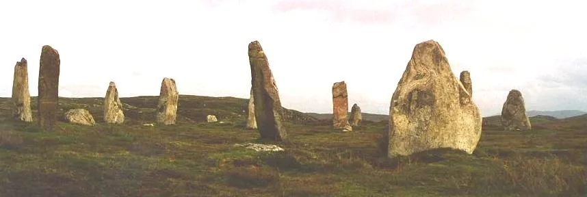
Callanish III
Hill forts · 1.0 km

Callanish XIX
Archaeological sites · 1.1 km

East Loch Roag War Memorial
Memorials & monuments · 1.2 km

Cnoc Ceann a' Ghàrraidh
Archaeological sites · 1.3 km
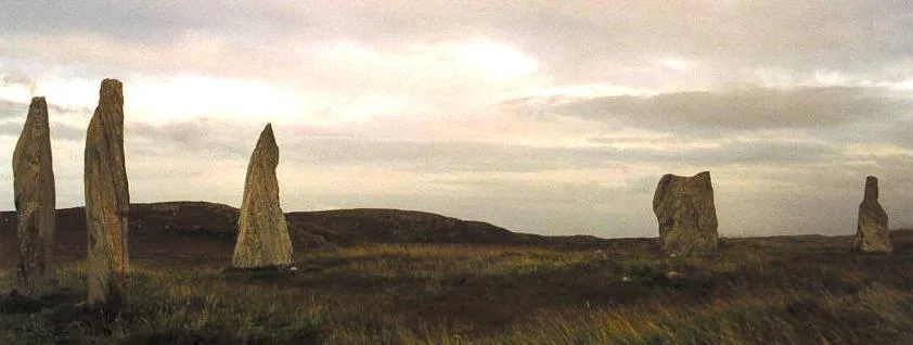
Callanish II
Hill forts · 1.3 km

Callanish
Towns & cities · 1.4 km

Breasclete
Islands · 1.7 km
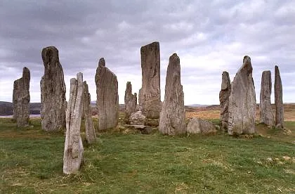
Calanais Stones
Hill forts · 1.8 km

Tursachan Chalanais
Natural landmarks · 1.8 km

Garynahine Estate
Islands · 2.0 km
Nearby
📷 3Archaeological sites · Scottish Islands
Callanish XIV
Callanish XIV — a archaeological in scotland-highlands, United Kingdom.
📷 3Archaeological sites · Scottish Islands
Cnoc Fhillibhir Bhig
Cnoc Fhillibhir Bhig — a archaeological in scotland-highlands, United Kingdom.
📷 3Hill forts · Scottish Islands
Callanish III
Callanish III — archaeological site in Outer Hebrides, Scotland, UK.
📷 3Archaeological sites · Scottish Islands
Callanish XIX
Callanish XIX — a archaeological in scotland-highlands, United Kingdom.
📷 3Memorials & monuments · Scottish Islands
East Loch Roag War Memorial
East Loch Roag War Memorial — a memorial in scotland-highlands, United Kingdom.
📷 3Archaeological sites · Scottish Islands
Cnoc Ceann a' Ghàrraidh
Cnoc Ceann a' Ghàrraidh — a archaeological in scotland-highlands, United Kingdom.
Where to eat & stay near Callanish X
Places to stay
 📷 5
📷 5Campsites · Scottish Islands
Eilean Fraoich Camp Site
Eilean Fraoich Camp Site — a campsite in scotland highlands.
 📷 5
📷 5Campsites · Scottish Islands
Tràigh na Beirigh
Tràigh na Beirigh — a campsite in scotland highlands.
 📷 5
📷 5Hostels · Scottish Islands
Otter Bunkhouse
Otter Bunkhouse — a hostel in scotland highlands.
 📷 4
📷 4Hostels · Scottish Islands
Ravenspoint
Ravenspoint — a hostel in scotland highlands.
 📷 5
📷 5Campsites · Scottish Islands
Ardroil Sands Campsite
Ardroil Sands Campsite — a campsite in scotland highlands.
📷 5Caravan parks · Scottish Islands
Ardroil Caravan & Campervan Park
Ardroil Caravan & Campervan Park — a caravan park in scotland highlands.
Places to eat & drink
 📷 6
📷 6Historic pubs · Scottish Islands
Neptune's Bar, 11 Cromwell Street, Stornoway, Lewis
Neptune's Bar, 11 Cromwell Street, Stornoway, Lewis in Scotland Highlands, United Kingdom.
More mountains in this region
 📷 3
📷 3Mountains & hills · Scottish Islands
Acairseid Mhor
Acairseid Mhor — bay in Outer Hebrides, Scotland, UK.
 📷 3
📷 3Mountains & hills · Scottish Islands
Ainshval
Ainshval — Named summit at 781 m.
 📷 3
📷 3 📷 5
📷 5Mountains & hills · Scottish Islands
An Cliseam
An Cliseam — Named summit at 799 m.
Frequently asked questions
- Where is Callanish X?
- Callanish X is in the Scottish Islands, United Kingdom (postcode HS2 9DX).
- What is Callanish X?
- Callanish X in Scotland Islands, United Kingdom.
- How do I get to Callanish X?
- Drivers can use postcode HS2 9DX.
- Is Callanish X free to visit?
- Yes, Callanish X is free to enter.
- How do I get to Callanish X?
- Drivers can navigate to postcode HS2 9DX. It sits within the Na h-Eileanan an Iar parliamentary constituency.