Mountains & hills · South Wales
Cadbury Hill
Cadbury Hill — Named summit at 81 m.

Wikimedia Commons contributors — see linked file page for photographer and licence licence
Plan your visit
- Typical visit
- 3 h–8 h
- Best time of year
- Late spring – early autumn (May–Oct)
- Nearest railway station
- Yatton · 2.0 km
- Free entry
- Dog-friendly
About
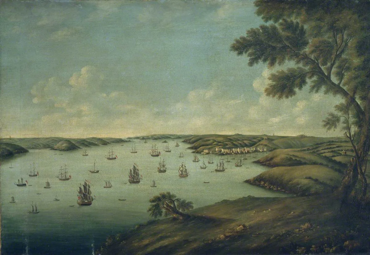
Cadbury Hill is a named summit in the United Kingdom. Wikidata describes it as: "Named summit at 81 m.". Coordinates: 51.3806°, -2.8034°.
Photo gallery
Protected designations
- Site of Special Scientific Interest: Severn Estuary SSSI
- Ramsar wetland: Severn Estuary
Designations sourced from Natural England open data under OGL v3.
From the Wikipedia article
Cadbury Hill is a small hill, mostly in the civil parish of Congresbury, overlooking the village of Yatton in North Somerset. On its summit stands an Iron Age hill fort, which is a Scheduled Ancient Monument.
Excerpt from Wikipedia under CC BY-SA 4.0. See the source article linked in Sources below.
Background
History
Hill forts developed in the Late Bronze and Early Iron Age, roughly the start of the 1st millennium BC. The reason for their emergence in Britain, and their purpose has been debated. It has been argued that they could have been military sites constructed in response to invasion from continental Europe, sites built by invaders, or a military reaction to social tensions caused by an increasing population and consequent pressure on agriculture. The dominant view since the 1960s has been that the increasing use of iron led to social changes in Britain. Deposits of iron ore were located in different places to the tin and copper ore necessary to make bronze, and as a result trading patterns…
Sourced from Wikipedia under CC BY-SA 4.0.
- Coordinates
- 51.3806, -2.8034
- District
- North Somerset
- Parish
- Congresbury
- Postcode
- BS49 5AF
- Parliamentary constituency
- Wells and Mendip Hills
- Nearest railway station
- Yatton — 2 km
- Official site
- www.nsbopc.co.uk
Sources
- osm: n600346159 (ODbL)
- wikipedia: Cadbury Hill (CC BY-SA 4.0)
- commons: View from Cadbury Hill.jpg (CC BY-SA 4.0)
Other places nearby
Loading nearby places…
Nearby
 📷 3
📷 3Hill forts · South Wales
Cadbury Hill Fort
Cadbury Hill Fort — a hill fort in wales-south, United Kingdom.
Vineyards · South Wales
Cadbury Hill Camp, Congresbury
Cadbury Hill Camp, Congresbury — a UK vineyard in wales south, producing English or Welsh wine from cool-climate grape varieties.
 📷 3
📷 3Archaeological sites · South Wales
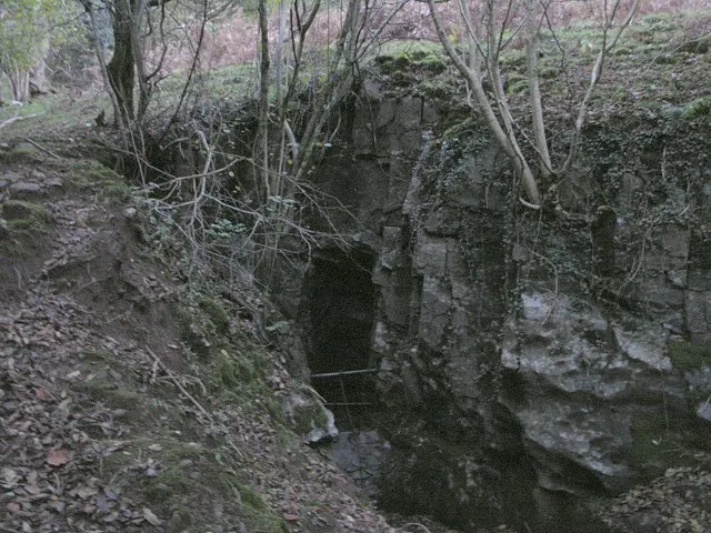
Cadbury dew pond
Cadbury dew pond — a archaeological in wales-south, United Kingdom.
Hotels · South Wales
DoubleTree by Hilton Bristol South - Cadbury House
DoubleTree by Hilton Bristol South - Cadbury House — a hotel in wales south. 4-star. Brand: DoubleTree.
 📷 5
📷 5Follies · South Wales
Roman temple 1 at Henley Wood
Roman temple 1 at Henley Wood — a temple folly in wales-south, United Kingdom.
📷 5Follies · South Wales
Roman temple 3 at Henley Wood
Roman temple 3 at Henley Wood — a temple folly in wales-south, United Kingdom.
More mountains in this region
 Flagship📷 3
Mountains & hills · South Wales
Milford Haven Waterway
Milford Haven Waterway — ria, or flooded valley, in Pembrokeshire, south-west Wales, UK.
 📷 5
📷 5Mountains & hills · South Wales
Ogof Ffynnon Ddu
Ogof Ffynnon Ddu — cave in the Upper Swansea Valley in South Wales.
 📷 3
📷 3Mountains & hills · South Wales
Abereiddi Bay
Abereiddi Bay — bay in the United Kingdom.
 📷 3
📷 3Mountains & hills · South Wales
Allt Lwyd
Allt Lwyd — Named summit at 653 m.
Frequently asked questions
- Where is Cadbury Hill?
- Cadbury Hill is in South Wales, United Kingdom (postcode BS49 5AF), in the parish of Congresbury.
- Is Cadbury Hill a protected site?
- Yes — Cadbury Hill is part of the Severn Estuary SSSI Site of Special Scientific Interest and the Severn Estuary Ramsar wetland.
- Is Cadbury Hill free to visit?
- Yes, Cadbury Hill is free to enter.
- How do I get to Cadbury Hill?
- The nearest railway station is Yatton, about 2.0 km away. Drivers can navigate to postcode BS49 5AF.