
Hill forts · Scottish Islands
Burra Ness Broch
In or near Uyeasound.
Burra Ness Broch — archaeological site in Shetland Islands, Scotland, UK.

Wikimedia Commons contributors — see linked file page for photographer and licence licence

Plan your visit
- Typical visit
- 1 h–2 h
- Free entry
- Dog-friendly
About
Burra Ness Broch is a hill fort in the United Kingdom. Heritage designation: scheduled monument. Wikidata describes it as: "archaeological site in Shetland Islands, Scotland, UK". Coordinates: 60.6409°, -0.9831°.
Photo gallery
From the Wikipedia article
Burra Ness Broch is an iron-age broch located on the east coast of the island of Yell, Shetland, Scotland.
Excerpt from Wikipedia under CC BY-SA 4.0. See the source article linked in Sources below.
Background
Description
The broch has an external diameter of about 18 metres. The outer wall is around 4.5 metres thick, and stands over 4 metres high on the east side. Two hundred years ago the broch is reported to have been 20 feet (6.1 metres) high, and the beginning of a bell-shaped profile was clearly visible. Internally a "scarcement" ledge to support an upper floor is visible some 4 metres above the ground. There are signs of an upper intramural gallery, and there are traces of intramural "guard cell" on the southeast side but no remains of the entrance can be seen. There are traces of outbuildings towards the north, south and southeast, and slight indications of surrounding ramparts. The ruins of a later…
Sourced from Wikipedia under CC BY-SA 4.0.
- Coordinates
- 60.6409, -0.9831
- Address
- Yell, Shetland
Sources
- wikidata: Q16246105 (CC0)
- wikipedia: Burra Ness Broch (CC BY-SA 4.0)
- commons: Burra Ness Broch - geograph.org.uk - 629860.jpg (CC BY-SA 4.0)
Other places nearby
Sand Wick
Mountains & hills · 1.2 km

Hill of Kirkabister
Mountains & hills · 1.8 km
Hill of Trolliva
Mountains & hills · 2.2 km

Flogga
Mountains & hills · 2.5 km
Basta Voe
Mountains & hills · 2.8 km

Hamars Ness
Islands · 2.8 km

Hill of Gutcher
Mountains & hills · 2.8 km

Basta Voe
Natural landmarks · 2.9 km

Linga
Islands · 2.9 km

Sound Gruney
Islands · 2.9 km
Hamarsness
Historic houses · 3.0 km

North Isles
Islands · 3.0 km
Nearby
📷 3Mountains & hills · Scottish Islands
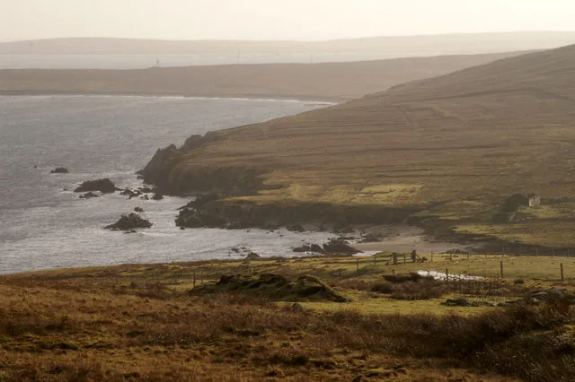
Sand Wick
Sand Wick — bay on Yell, Shetland Islands, Scotland, UK.
📷 5Mountains & hills · Scottish Islands
Hill of Kirkabister
Hill of Kirkabister — mountain in scotland islands. Elevation: 61 m.
📷 5Mountains & hills · Scottish Islands
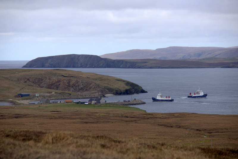
Hill of Trolliva
Hill of Trolliva — mountain in scotland islands. Elevation: 62 m.
📷 5📷 5Mountains & hills · Scottish Islands
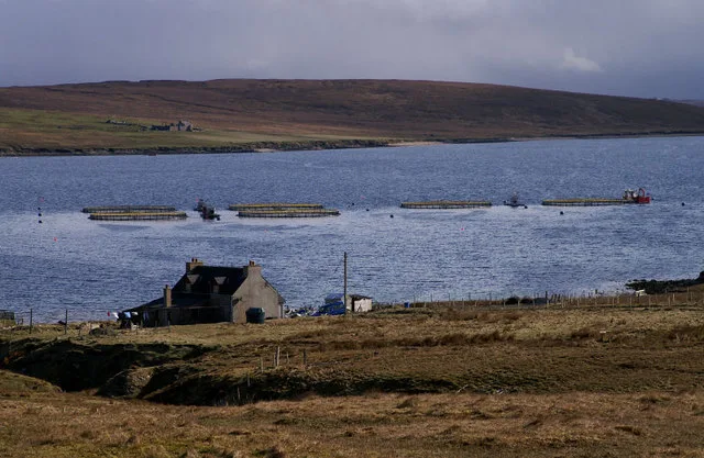
Basta Voe
Basta Voe — bay on Yell, Shetland Islands, Scotland, UK.
📷 3Where to eat & stay near Burra Ness Broch
Places to stay
 📷 5
📷 5Caravan parks · Scottish Islands
Gardiesfauld Caravan Park
Gardiesfauld Caravan Park — a caravan park in scotland islands.
 📷 5
📷 5Campsites · Scottish Islands
Gardiesfauld Campsite
Gardiesfauld Campsite — a campsite in scotland islands.
 📷 5
📷 5 📷 5
📷 5 📷 5
📷 5Hostels · Scottish Islands
Aithbank Camping Böd
Aithbank Camping Böd — a hostel in scotland islands.
 📷 5
📷 5Campsites · Scottish Islands
Burravoe Pier Trust Campsite
Burravoe Pier Trust Campsite — a campsite in scotland islands.
More places in this region
 📷 3
📷 3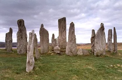 📷 5
📷 5Hill forts · Scottish Islands
Calanais Stones
Calanais Stones — neolithic standing stones near Calanais, Scotland.
 📷 5
📷 5Hill forts · Scottish Islands
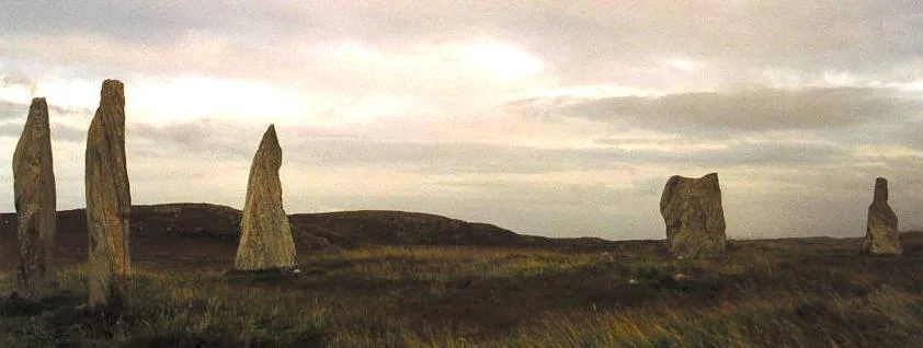
Callanish II
Callanish II — archaeological site in Outer Hebrides, Scotland, UK.
 📷 3
📷 3Hill forts · Scottish Islands
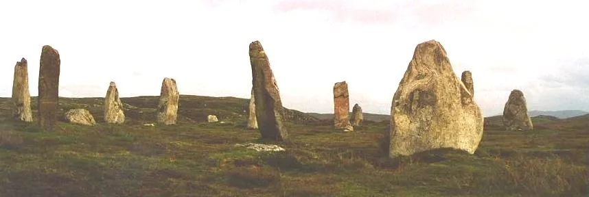
Callanish III
Callanish III — archaeological site in Outer Hebrides, Scotland, UK.
Frequently asked questions
- Where is Burra Ness Broch?
- Burra Ness Broch is in the Scottish Islands, United Kingdom.
- What is Burra Ness Broch?
- Burra Ness Broch — archaeological site in Shetland Islands, Scotland, UK.
- How do I get to Burra Ness Broch?
- The nearest town is Uyeasound. Its coordinates are 60.6409°, -0.9831°.
- Is Burra Ness Broch a listed building?
- Burra Ness Broch is officially recognised as scheduled monument listed.
- Is Burra Ness Broch free to visit?
- Yes, Burra Ness Broch is free to enter.