
Castles · Yorkshire & the Humber
Bumper Castle
In or near Over Silton.
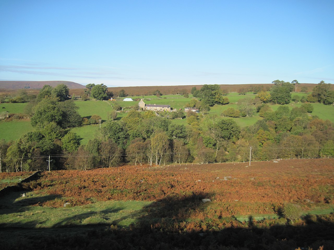
Bumper Castle — Grade II listed building-listed castle in england-yorkshire, United Kingdom.

Mick Garratt — CC BY-SA 2.0 via Wikimedia Commons licence

Plan your visit
- Typical visit
- 1.5 h–3 h
- Family-friendly
- Limited wheelchair access
About
Bumper Castle is a Grade II listed building-listed castle in england-yorkshire, United Kingdom, registered on the National Heritage List for England (NHLE entry 1149220). Listed status protects buildings and structures of special architectural or historic interest. See the linked Wikipedia article for further details.
Photo gallery
Heritage listing
Details 5340 SE 59 SE 5/6 NORTH YORKSHIRE RYEDALE BILSDALE WEST SIDE Bumper Castle II House. Mid C18. Sandstone ashlar, Welsh slate roof. 2-cell central lobby- entry plan. 2 storeys, 2 first floor windows. Massive herringbone-tooled quoins. Board door with 2-light Yorkshire sash to left and 16-pane sash to right. First floor: unglazed window to left, boarded pitching window to right. Herringbone-tooled lintels throughout. Stepped eaves course. Steeply-pitched roof. Ridge stack. Interior: massive stone fireplace containing C19 cast iron range, with wooden heck and inglenook seat. Original stone flag floor, ceiling beam and joists intact. Listing NGR: SE5509092399 Legacy The contents of this record have been generated from a legacy data system. Legacy System number: 328481 Legacy System: LBS
From the Historic England List Entry under OGL v3.
Protected designations
- Site of Special Scientific Interest: North York Moors SSSI
Designations sourced from Natural England open data under OGL v3.
Place summary
Bumper Castle is a Grade II listed castle located in Yorkshire. It is recognised for its architectural significance and historical value.
AI-generated from the structured facts on this page (operator, designation, listing, era). Not a substitute for visiting.
- Coordinates
- 54.3242, -1.1546
- District
- North Yorkshire
- Parish
- Hawnby
- Postcode
- YO62 5NF
- Parliamentary constituency
- Thirsk and Malton
- Official site
- thegreatbritainguide.com
Sources
- wikidata: Q26442143 (CC0)
Other places nearby
Pepper Hill
Mountains & hills · 1.1 km

Easterside Hill
Mountains & hills · 1.6 km

Easterside Hill
Mountains & hills · 1.6 km

Bilsdale
Gorges · 1.7 km

Hawnby Hill
Mountains & hills · 1.8 km
Hawnby Hill
Mountains & hills · 1.9 km

Wether House
Historic houses · 1.9 km

Laskill Bridge
Historic bridges · 2.0 km

Anya's Wood
Forests & woodlands · 2.2 km

Spout House
Archaeological sites · 2.6 km

Spout House
Archaeological sites · 2.6 km
Spout House
Historic pubs · 2.6 km
Nearby
📷 5Mountains & hills · Yorkshire & the Humber
Pepper Hill
Pepper Hill — mountain in england yorkshire. Elevation: 251 m.
📷 5Mountains & hills · Yorkshire & the Humber
Easterside Hill
Easterside Hill — a hill or mountain in england yorkshire.
📷 5Mountains & hills · Yorkshire & the Humber
Easterside Hill
Easterside Hill — mountain in england yorkshire. Elevation: 319 m.
📷 5📷 5Mountains & hills · Yorkshire & the Humber
Hawnby Hill
Hawnby Hill — a hill or mountain in england yorkshire.
📷 5Mountains & hills · Yorkshire & the Humber
Hawnby Hill
Hawnby Hill — mountain in england yorkshire. Elevation: 298 m.
Where to eat & stay near Bumper Castle
Places to stay
 📷 5
📷 5Caravan parks · Yorkshire & the Humber
Carlton Grange Caravan Site
Carlton Grange Caravan Site — a caravan park in england yorkshire.
 📷 5
📷 5Campsites · Yorkshire & the Humber
Bungdale Head Farm
Bungdale Head Farm — a campsite in england yorkshire.
 📷 5
📷 5Campsites · Yorkshire & the Humber
High Farm C&MC CL Site
High Farm C&MC CL Site — a campsite in england yorkshire.
 📷 5
📷 5 📷 4
📷 4Caravan parks · Yorkshire & the Humber
Hillside Caravan Park
Hillside Caravan Park — a caravan park in england yorkshire.
 📷 6
📷 6Places to eat & drink
📷 7 📷 7
📷 7Historic pubs · Yorkshire & the Humber
The Black Swan And Railings To Front
The Black Swan And Railings To Front in England Yorkshire, United Kingdom.
 📷 5
📷 5Restaurants · Yorkshire & the Humber
The Stapylton Arms
The Stapylton Arms — a restaurant in england yorkshire.
 📷 5
📷 5Historic pubs · Yorkshire & the Humber
The Abbey Inn
The Abbey Inn in England Yorkshire, United Kingdom.
 📷 5
📷 5 📷 5
📷 5Restaurants · Yorkshire & the Humber
The Star Inn
The Star Inn — a restaurant in england yorkshire.
More castles in this region
 📷 5
📷 5Castles · Yorkshire & the Humber
Ashton-under-Lyne
Ashton-under-Lyne, also known simply as Ashton, is a market town in Tameside, Greater Manchester, United Kingdom. The population was 48,604 at the 2021 census. Historically a part of Lancashire, it is
 📷 5
📷 5Castles · Yorkshire & the Humber
Audenshaw
Audenshaw is a town in Tameside, Greater Manchester, England, 4.9 miles (7.9 km) east of Manchester. Historically part of Lancashire, in 2011 it had a population of 11,419. The name derives from Aldwi
 📷 5
📷 5Castles · Yorkshire & the Humber
Bramhall
Bramhall is a large village in the Metropolitan Borough of Stockport, Greater Manchester, England. It was formerly a civil parish in Cheshire. At the 2021 census, the built-up area, as defined by the
 📷 5
📷 5Castles · Yorkshire & the Humber
Bredbury
Bredbury is a town in the Metropolitan Borough of Stockport, Greater Manchester, England; it lies 8 miles (12.9 km) south-east of Manchester, 2 miles (3.2 km) east of Stockport and 3 miles (4.8 km) so
Frequently asked questions
- Where is Bumper Castle?
- Bumper Castle is in Yorkshire, United Kingdom (postcode YO62 5NF), in the parish of Hawnby.
- What is Bumper Castle?
- Bumper Castle — Grade II listed building-listed castle in england-yorkshire, United Kingdom.
- How do I get to Bumper Castle?
- Drivers can use postcode YO62 5NF.
- Is Bumper Castle a listed building?
- Bumper Castle is officially recognised as Grade II listed building listed.
- Is Bumper Castle a protected site?
- Yes — Bumper Castle is part of the North York Moors SSSI Site of Special Scientific Interest.
- Does Bumper Castle charge admission?
- Bumper Castle typically charges admission. Check the official site for current ticket prices and opening hours.
- How do I get to Bumper Castle?
- Drivers can navigate to postcode YO62 5NF. It sits within the Thirsk and Malton parliamentary constituency.