Mountains & hills · North West England
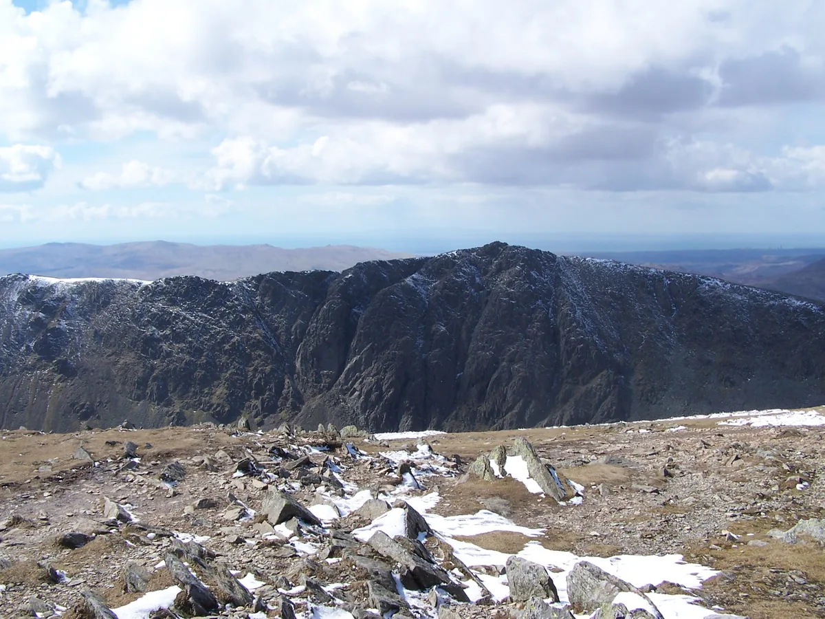
Brown Pike
In or near Seathwaite.
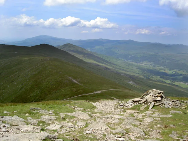
Brown Pike — Named summit at 682 m.

Wikimedia Commons contributors — see linked file page for photographer and licence licence
Plan your visit
- Typical visit
- 3 h–8 h
- Best time of year
- Late spring – early autumn (May–Oct)
- Nearest railway station
- Dalegarth · 9.7 km
- Free entry
- Dog-friendly
Getting there & planning your visit
To visit Brown Pike, the nearest railway station is Dalegarth, located 9.7 km away. Entry to the site is free. There are no specific accessibility details provided.
About
Brown Pike is a named summit in the United Kingdom. Wikidata describes it as: "Named summit at 682 m.". Coordinates: 54.3594°, -3.1388°.
Photo gallery
From the Wikipedia article
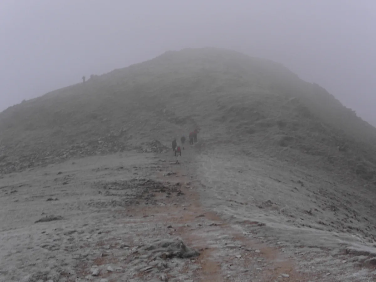
Brown Pike is a fell located in the Lake District National Park in Cumbria, England. Brown Pike is near the village of Coniston, and is most commonly approached from there with walkers often continuing onto Buck Pike, Dow Crag and the Old Man of Coniston. There are two main ways to summit, the first being via a path on the south-western side of the mountain marked on Ordnance Survey maps. The second route involves a narrow path along the south slope of the mountain; this route involves some scrambling.
Excerpt from Wikipedia under CC BY-SA 4.0. See the source article linked in Sources below.
- Coordinates
- 54.3594, -3.1388
- Address
- Lake District, England
- Nearest railway station
- Dalegarth — 9.7 km
Sources
- osm: n6895058852 (ODbL)
- wikipedia: Brown Pike (CC BY-SA 4.0)
- commons: Looking back down the path up Brown Pike - geograph.org.uk - 1372995.jpg (CC BY-SA 4.0)
Other places nearby
Brown Pike
Natural landmarks · 0.1 km
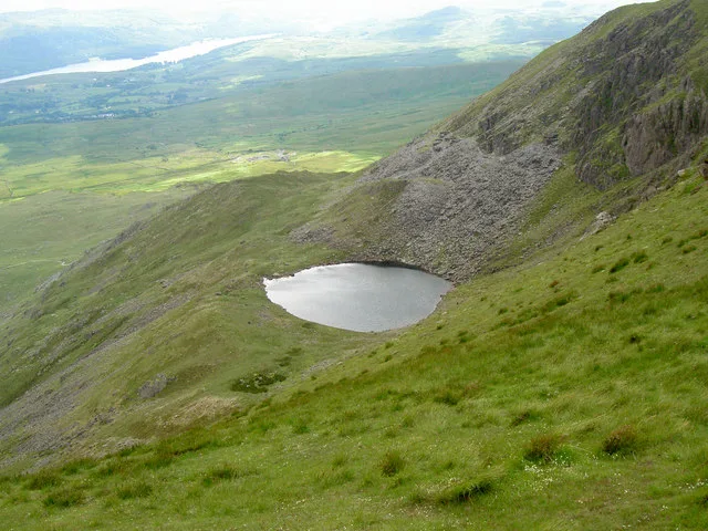
Blind Tarn
Natural landmarks · 0.2 km

Walna Scar
Mountains & hills · 0.4 km

Buck Pike
Natural landmarks · 0.6 km
Buck Pike
Mountains & hills · 0.6 km

White Maiden
Mountains & hills · 1.1 km
White Maiden
Mountains & hills · 1.1 km

Dow Crag
Natural landmarks · 1.1 km

Dow Crag
Climbing & bouldering crags · 1.1 km
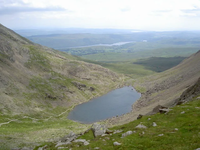
Goat's Water
Natural landmarks · 1.2 km
Dow Crag
Mountains & hills · 1.2 km

White Pike
Mountains & hills · 1.6 km
Nearby
📷 3📷 3Natural landmarks · North West England
Blind Tarn
Blind Tarn — lake in Torver, Cumbria, England, UK.
📷 5Mountains & hills · North West England
Walna Scar
Walna Scar — mountain in england north west. Elevation: 620.8 m.
📷 3📷 3📷 5Mountains & hills · North West England
White Maiden
White Maiden — mountain in england north west. Elevation: 612.6 m.
Where to eat & stay near Brown Pike
Places to stay
 📷 5
📷 5Campsites · North West England
Turner Hall Farm Campsite
Turner Hall Farm Campsite — a campsite in england north west.
 📷 7
📷 7B&Bs · North West England
The Church House Inn
The Church House Inn — a bed-and-breakfast in england north west.
 📷 5
📷 5Hostels · North West England
YHA Coppermines
YHA Coppermines — a hostel in england north west.
 📷 5
📷 5Caravan parks · North West England
Shepherd's View Caravan Site
Shepherd's View Caravan Site — a caravan park in england north west.
 📷 5
📷 5Hostels · North West England
Yorkshire Mountaineering Club Hut
Yorkshire Mountaineering Club Hut — a hostel in england north west.
 📷 5
📷 5Caravan parks · North West England
Coniston Park Coppice Caravan Club Site
Coniston Park Coppice Caravan Club Site — a caravan park in england north west.
Places to eat & drink
 📷 7
📷 7Historic pubs · North West England
Church House Public House
Church House Public House in England North West, United Kingdom.
 📷 5
📷 5Restaurants · North West England
The Terrace Coffee House and Restaurant
The Terrace Coffee House and Restaurant — a restaurant in england north west. Cuisine: sandwich;lunch.
 📷 5
📷 5Historic pubs · North West England
Blacksmiths Arms
Blacksmiths Arms in England North West, United Kingdom.
 📷 5
📷 5Historic pubs · North West England
Sun Cottage Sun Inn Public House
Sun Cottage Sun Inn Public House in England North West, United Kingdom.
 📷 7
📷 7Cafés · North West England
Joey's Cafe
Joey's Cafe — a café in england north west.
 📷 5
📷 5Historic pubs · North West England
Golden Rule Hotel
Golden Rule Hotel in England North West, United Kingdom.
More mountains in this region
 📷 5
📷 5Mountains & hills · North West England
Appleton Park
Appleton Park — a hill or mountain in england west midlands.
 📷 5
📷 5Mountains & hills · North West England
High Warren
High Warren — mountain in england west midlands. Elevation: 105 m.
 📷 5
📷 5Mountains & hills · North West England
Alderley Edge
Alderley Edge — mountain in england west midlands. Elevation: 194 m.
 📷 3
📷 3Frequently asked questions
- Where is Brown Pike?
- Brown Pike is in North-West England, United Kingdom.
- What is Brown Pike?
- Brown Pike — Named summit at 682 m.
- How do I get to Brown Pike?
- The nearest railway station is Dalegarth, about 9.7 km away. Its coordinates are 54.3594°, -3.1388°.
- Is Brown Pike free to visit?
- Yes, Brown Pike is free to enter.