
Museums · West Midlands
Broseley
In or near Ironbridge.
Broseley () is a market town in Shropshire, England, with a population of 4,929 at the 2011 Census and an estimate of 5,022 in 2019. The River Severn flows to its north and east. The first iron bridge

Ian S — CC BY-SA 2.0 via Wikimedia Commons licence

Plan your visit
- Typical visit
- 1.5 h–3 h
- Best time of year
- Year-round
- Nearest railway station
- Horsehay & Dawley · 5.7 km
- Family-friendly
- Limited wheelchair access
Getting there & planning your visit
To visit Broseley, the nearest railway station is Horsehay & Dawley, which is 5.7 km away. The postcode for navigation is TF12 5EN. Accessibility is limited for wheelchair users.
About
Broseley () is a market town in Shropshire, England, with a population of 4,929 at the 2011 Census and an estimate of 5,022 in 2019. The River Severn flows to its north and east. The first iron bridge in the world was built in 1779 across the Severn, linking Broseley with Coalbrookdale and Madeley. This contributed to the early industrial development in the Ironbridge Gorge, which is now part of a World Heritage Site.
Photo gallery
From the Wikipedia article
Broseley () is a market town in Shropshire, England, with a population of 4,929 at the 2011 Census and an estimate of 5,022 in 2019. The River Severn flows to its north and east. The first iron bridge in the world was built in 1779 across the Severn, linking Broseley with Coalbrookdale and Madeley. This contributed to the early industrial development in the Ironbridge Gorge, which is now part of a World Heritage Site.
Excerpt from Wikipedia under CC BY-SA 4.0. See the source article linked in Sources below.
Background
History
There was a settlement existing in 1086, listed as Bosle in the Domesday Book of that year, when it lay in the Hundred of Alnodestreu. That jurisdiction was dismembered in the time of King Henry I, when Broseley and Willey were reassigned to the Munslow Hundred. Finally they were transferred to the Liberty of Wenlock on its creation in the time of King Richard I. The place name appears as Burewardeslega in 1177, and in similar variants thereafter, indicating that it had anciently been Burgheard's (or Burgweard's) clearing, or grove. In Broseley's manorial history, the medieval family of de Burwardesley was considered by the historian R.W. Eyton to have been a cadet branch of the family of…
Sourced from Wikipedia under CC BY-SA 4.0.
- Coordinates
- 52.6120, -2.4810
- District
- Shropshire
- Parish
- Broseley
- Postcode
- TF12 5EN
- Parliamentary constituency
- South Shropshire
- Nearest railway station
- Horsehay & Dawley — 5.7 km
- Official site
- www.neighbourhood.statistics.gov.uk
Sources
- wikipedia: Broseley (CC BY-SA 4.0)
Other places nearby
Broseley War Memorial
Memorials & monuments · 0.1 km
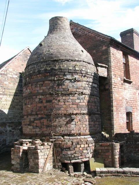
Broseley Pipeworks
Museums · 0.7 km

Benthall, Shropshire
Museums · 1.0 km

The Leopard
Caravan parks · 1.1 km

Bridge House
Historic houses · 1.6 km

Jackfield
Museums · 1.6 km

Original Free Bridge
Historic bridges · 1.7 km

The Iron Bridge Tollhouse
Museums · 1.7 km
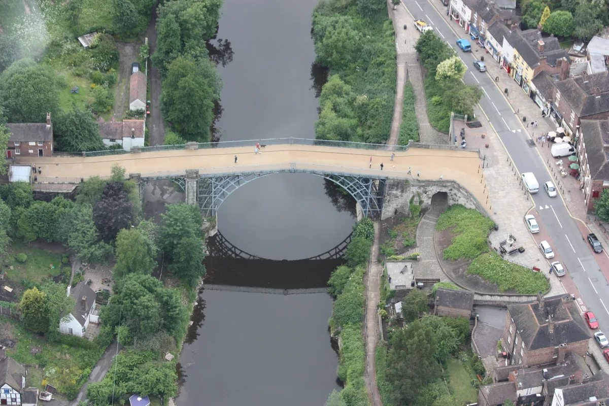
Ironbridge Gorge
UNESCO World Heritage · 1.7 km

Benthall Edge Picnic Site
Natural landmarks · 1.7 km

Bedlam Furnaces
Archaeological sites · 1.7 km
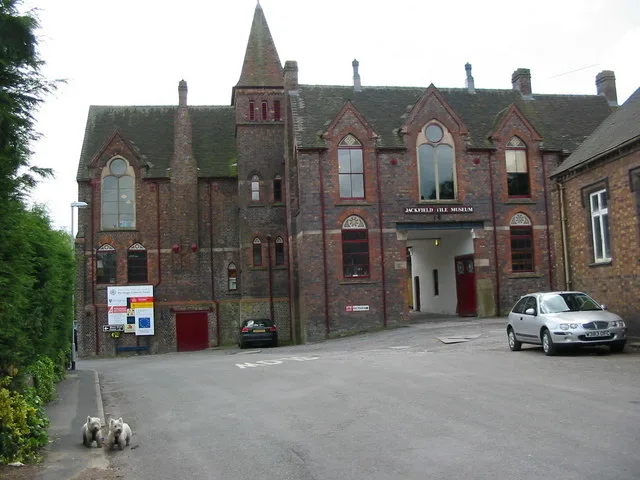
Jackfield Tile Museum
Museums · 1.7 km
Nearby
📷 3Memorials & monuments · West Midlands
Broseley War Memorial
Broseley War Memorial — Grade II listed building-listed memorial in england-west-midlands, United Kingdom.
★ Iconic📷 3Museums · West Midlands
Broseley Pipeworks
Broseley Pipeworks — industrial museum in Broseley, United Kingdom.
📷 5Museums · West Midlands
Benthall, Shropshire
Benthall is a small village in the civil parish of Barrow, in Shropshire, England. It is situated to the south of Telford, about a mile south of Ironbridge on the River Severn, and almost contiguous w
📷 5📷 3Historic houses · West Midlands
Bridge House
Bridge House — house in The Gorge, Telford and Wrekin, Shropshire, England, UK.
📷 5Museums · West Midlands
Jackfield
Jackfield — a museum in england-west-midlands, United Kingdom.
Where to eat & stay near Broseley
Places to stay
📷 5 📷 5
📷 5 📷 5
📷 5 📷 5
📷 5Caravan parks · West Midlands
Pool View Caravan Park
Pool View Caravan Park — a caravan park in england west midlands.
 📷 5
📷 5Campsites · West Midlands
Iron Gorge Camping
Iron Gorge Camping — a campsite in england west midlands.
 📷 5
📷 5Campsites · West Midlands
Sytche Camping and Caravan Park
Sytche Camping and Caravan Park — a campsite in england west midlands.
Places to eat & drink
 📷 5
📷 5Historic pubs · West Midlands
The Golden Ball Public House
The Golden Ball Public House in England West Midlands, United Kingdom.
 📷 5
📷 5Historic pubs · West Midlands
Crown Inn Including Outbuildings Adjoining South West
Crown Inn Including Outbuildings Adjoining South West in England West Midlands, United Kingdom.
 📷 5
📷 5Historic pubs · West Midlands
The Beacon Public House
The Beacon Public House in England West Midlands, United Kingdom.
 📷 5
📷 5Historic pubs · West Midlands
The Brewery Inn
The Brewery Inn in England West Midlands, United Kingdom.
 📷 5
📷 5Historic pubs · West Midlands
All Nations Inn
All Nations Inn in England West Midlands, United Kingdom.
 📷 7
📷 7Historic pubs · West Midlands
The Coalbrookdale Inn
The Coalbrookdale Inn in England West Midlands, United Kingdom.
More museums in this region
 📷 3
📷 3Museums · West Midlands
Redfern Cottage
Redfern Cottage — a museum in West Midlands, United Kingdom.
 📷 3
📷 3Museums · West Midlands
Museum of Cannock Chase
Museum of Cannock Chase — a museum in West Midlands, United Kingdom.
 📷 5
📷 5Museums · West Midlands
Cannock Chase District
Cannock Chase is a designated Area of Outstanding Natural Beauty and National Landscape in Staffordshire, England. It gives its name to Cannock Chase District, a non-metropolitan local government dist
 📷 5
📷 5Museums · West Midlands
Uttoxeter
Uttoxeter — a museum in england-east-midlands, United Kingdom.
Frequently asked questions
- Where is Broseley?
- Broseley is in the West Midlands, United Kingdom (postcode TF12 5EN), in the parish of Broseley.
- What is Broseley?
- Broseley () is a market town in Shropshire, England, with a population of 4,929 at the 2011 Census and an estimate of 5,022 in 2019. The River Severn flows to its north and east. The first iron bridge
- How do I get to Broseley?
- The nearest railway station is Horsehay & Dawley, about 5.7 km away. The nearest town is Ironbridge. Drivers can use postcode TF12 5EN.
- How do I get to Broseley?
- The nearest railway station is Horsehay & Dawley, about 5.7 km away. Drivers can navigate to postcode TF12 5EN.